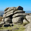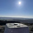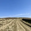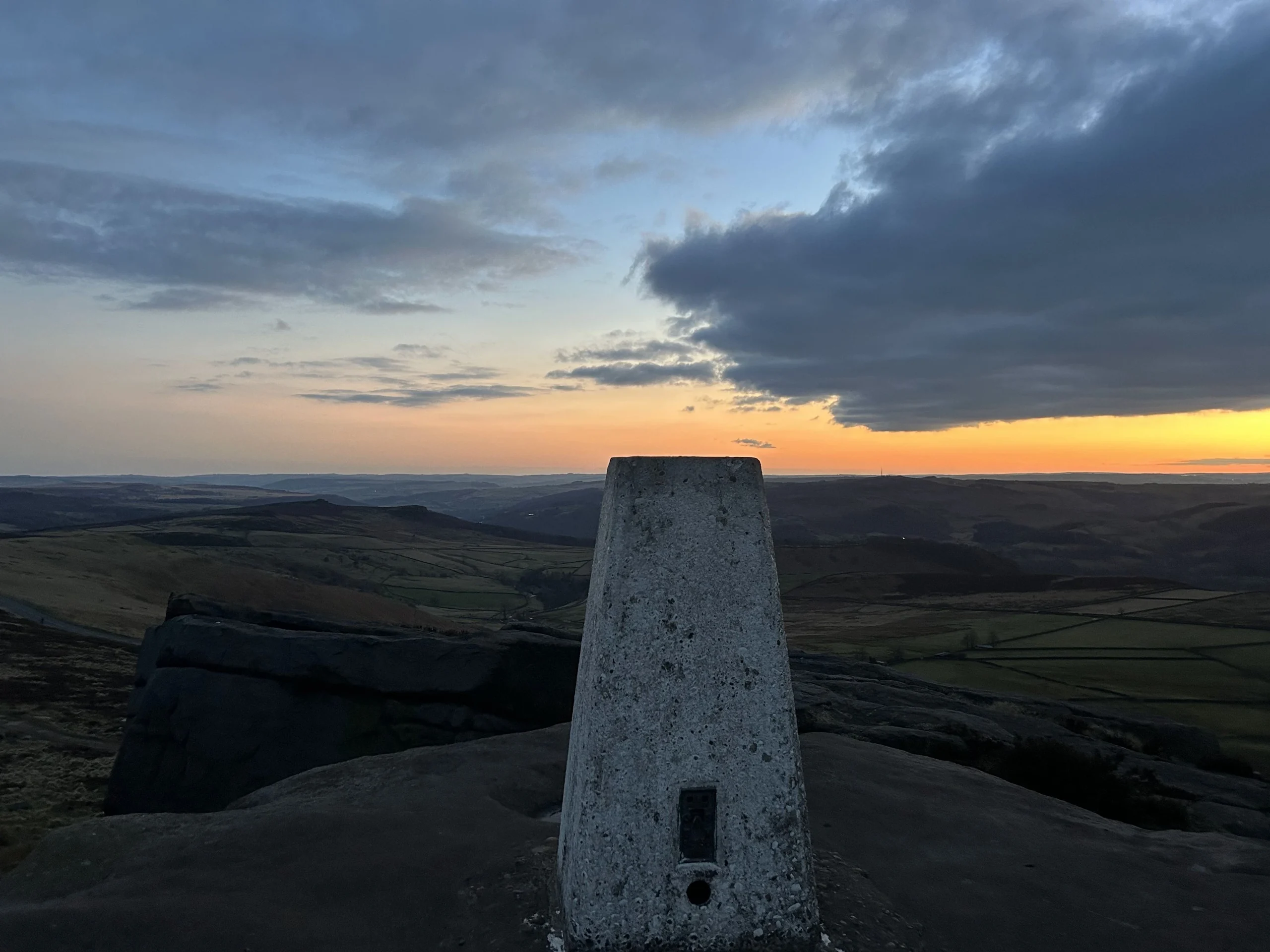

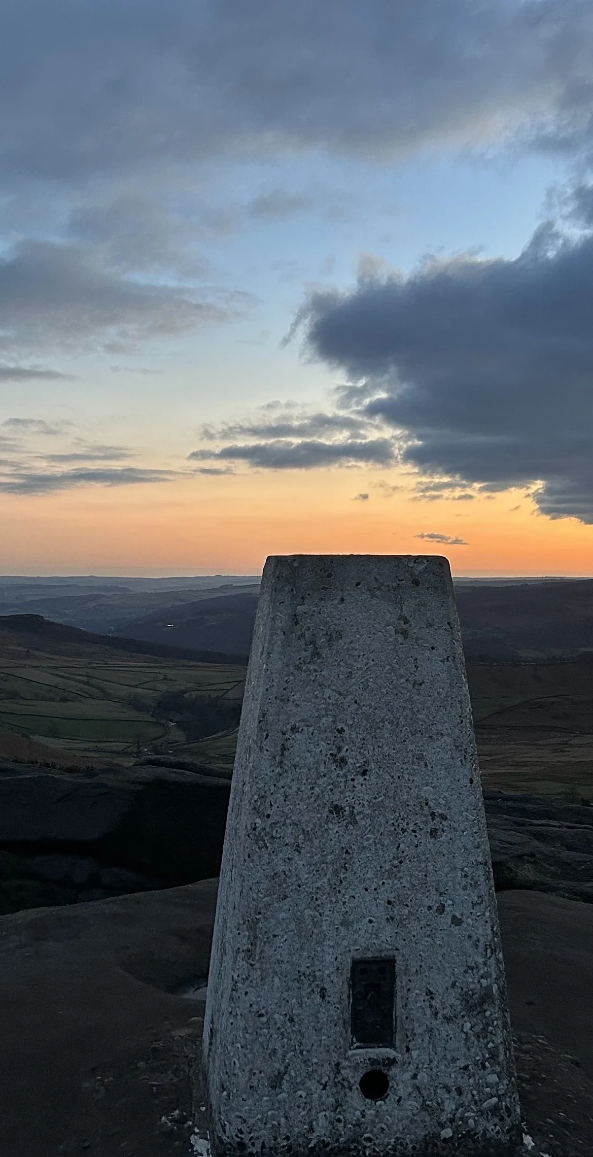


Just east of Stanage Edge and north-east of the car park at Upper Burbage Bridge, White Path Moss is a quiet hump of heather moor. A trig point stands on top, but the highest ground is a gritstone boulder about 20 m away. There's no formal path, and the heather gives way to wet blanket bog with standing pools, part of the Stanage and North Lees estate owned by the National Park Authority.
New to the Ethels?Read our guide: What Are The Peak District Ethels?Boulder about 20 m ESE of trig point
Heather moorland on gritstone, sloping into wet blanket bog with peat pools.
Summit Weather
Our Route
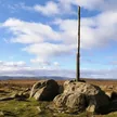
Also on this route: Higger Tor, High Neb (Stanage Edge), Stanedge Pole
Safety: Routes are a guide only. Carry a map and compass and know how to use them, check the weather before you go, and turn back if in doubt. You use this route at your own risk.