


Hill data: The Database of British and Irish Hills v18.6 (CC BY 4.0)Height1,120 m3,675 ft
Grid RefNH 094 147
OS Map414OS Explorer
RegionKintail & Glen Affric
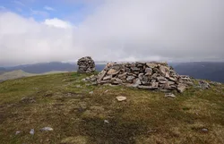
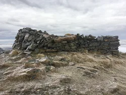
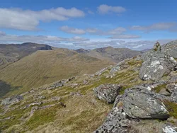
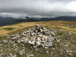
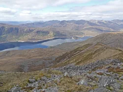
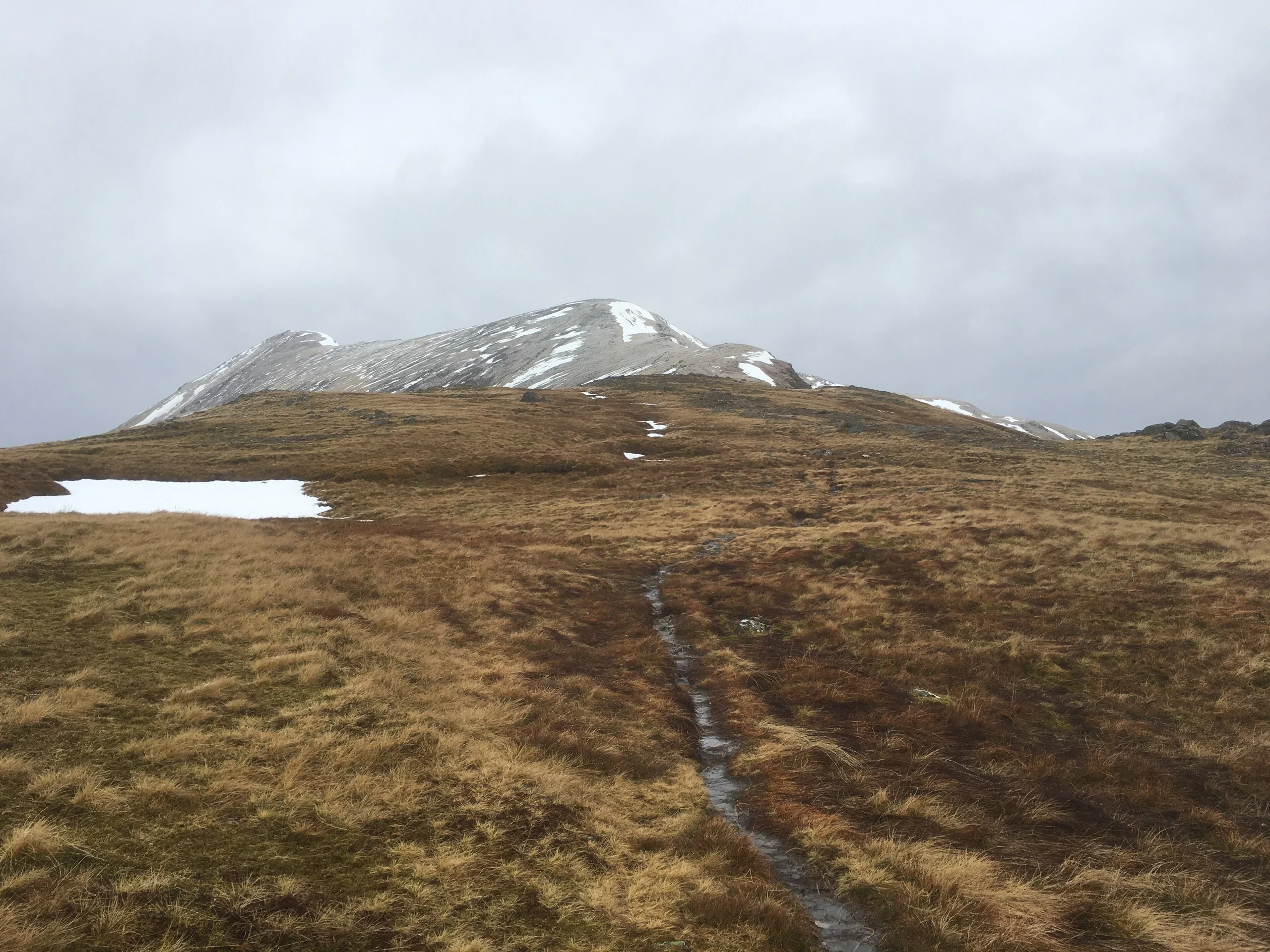
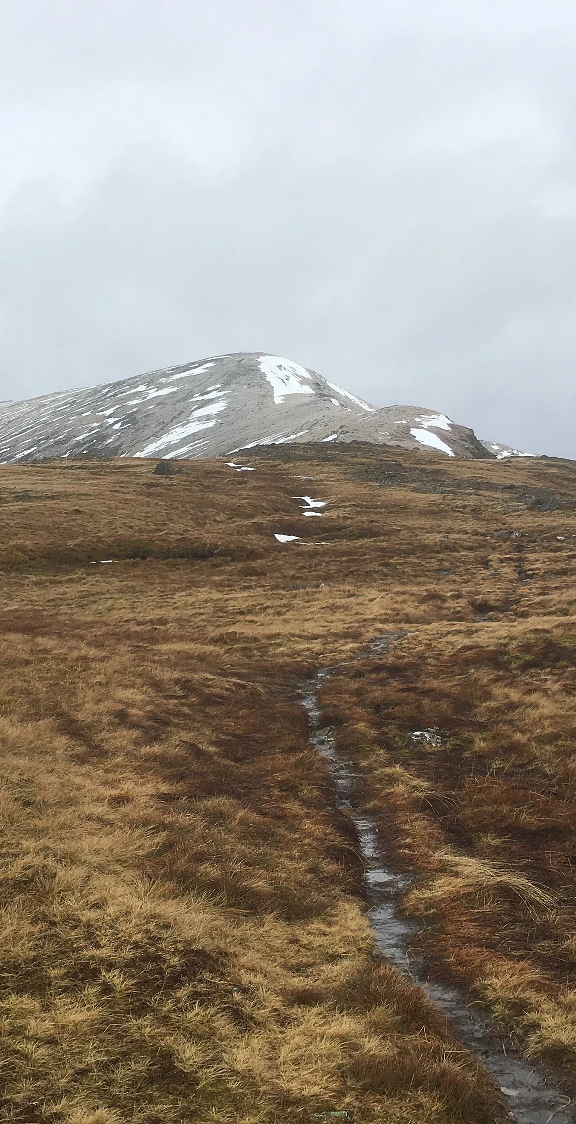
A' Chràileag rises north of Loch Cluanie and is the highest peak along Glen Shiel. Its Gaelic name is translated as 'the basket'. A very large cairn marks the summit, and from there the ridge carries on north over Stob Coire na Cràlaig to Mullach Fraoch-choire, often thought the more interesting of the two. The eastern slopes lie in the Kintail National Scenic Area.
New to the Munros?Read our guide: What Are The Munros?Summit
Very large cairn
Rock & Ground
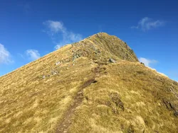
Long, high ridge crowned by a very large cairn, linking north to Mullach Fraoch-choire.
Also On These Lists
MarilynSimm
Summit Weather
Our Route
Distance9.1 mi14.6 km
Ascent1,070 m3,510 ft
Time5h 25mwalking
Start & FinishA car parkNH 0871 1209 · circular route
DirectionsAlso on this route: Mullach Fraoch-choire
Safety: Routes are a guide only. Carry a map and compass and know how to use them, check the weather before you go, and turn back if in doubt. You use this route at your own risk.