

Hill data: The Database of British and Irish Hills v18.6 (CC BY 4.0)Height999.2 m3,278 ft
Grid RefNH 133 154
OS Map414OS Explorer
RegionKintail & Glen Affric
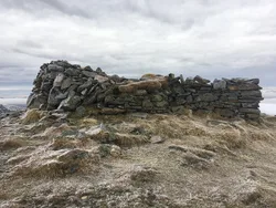
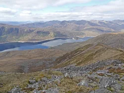
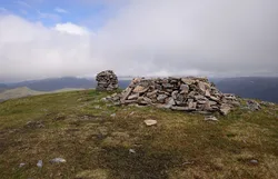
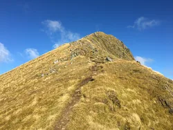
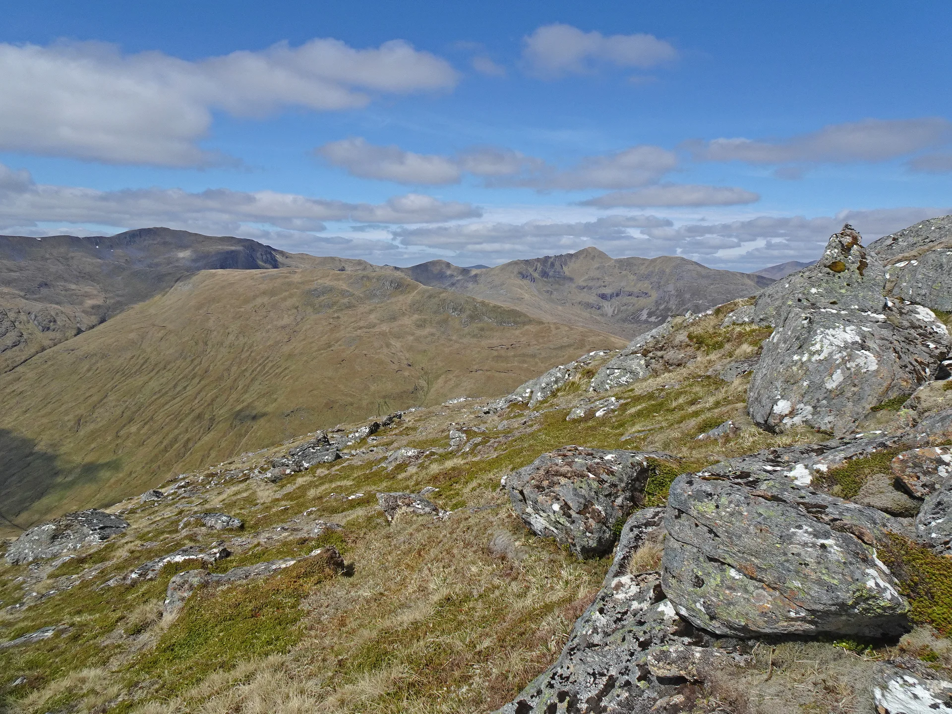
Sàil Chaorainn, the 'heel of the rowan', is the high point of a long ridge running north from Sgùrr nan Conbhairean towards Glen Affric, about halfway between Loch Affric and Loch Cluanie. Its top is long, flat and grassy, and the highest point is a rib of rock. Spurs run east towards Ceannacroc Forest and north to the outlying tops of Càrn na Coire Mheadhoin and Tigh Mòr na Seilge.
New to the Munros?Read our guide: What Are The Munros?Summit
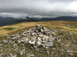
Rock rib
Rock & Ground
Long, flat, grass-covered top on a ridge with spurs running east and north.
Also On These Lists
Simm
Summit Weather
Our Route
Distance10.9 mi17.5 km
Ascent1,170 m3,840 ft
Time6h 20mwalking
Start & FinishA car parkNH 1447 1029 · circular route
DirectionsAlso on this route: Sgurr nan Conbhairean, Carn Ghluasaid
Safety: Routes are a guide only. Carry a map and compass and know how to use them, check the weather before you go, and turn back if in doubt. You use this route at your own risk.