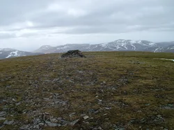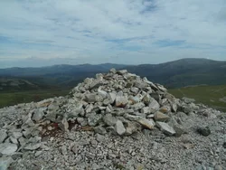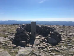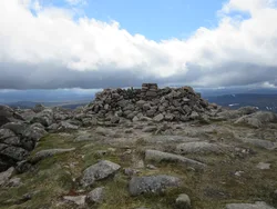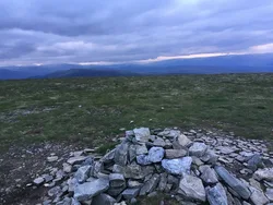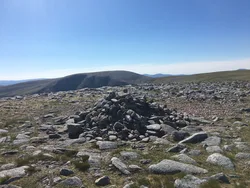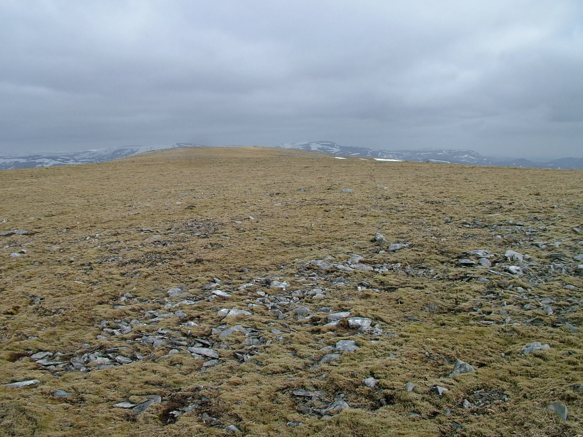


An Sgarsoch is a rounded hill in a lonely spot between the Cairngorms and the Mounth, far from any village or town. Its name is said to mean 'the place of the sharp rocks', which is odd for such gentle, heathery slopes. A large cairn sits on top, with a small pointed rock about 20 m away taken as the highest point, and the summit looks over to neighbouring Carn an Fhidhleir. The ruins of Geldie Lodge lie below.
New to the Munros?Read our guide: What Are The Munros?Small pointed embedded rock about 20 m NNE of large cairn
Gentle heather-covered slopes and open moorland, with only faint paths up the northern side.
MarilynSimm
Summit Weather
Our Route
No path for 6.6 kmAbout 6.6 km of this route has no path on the map (longest stretch 6.6 km). Expect rough, pathless ground. You will need a map and compass and the skills to use them.
Also on this route: Carn an Fhidhleir
Safety: Routes are a guide only. Carry a map and compass and know how to use them, check the weather before you go, and turn back if in doubt. You use this route at your own risk.