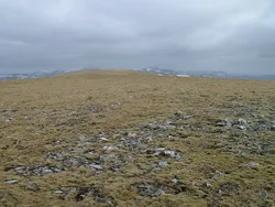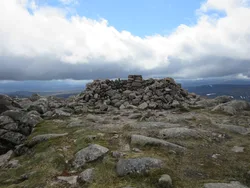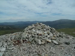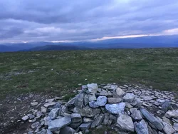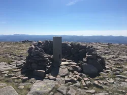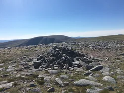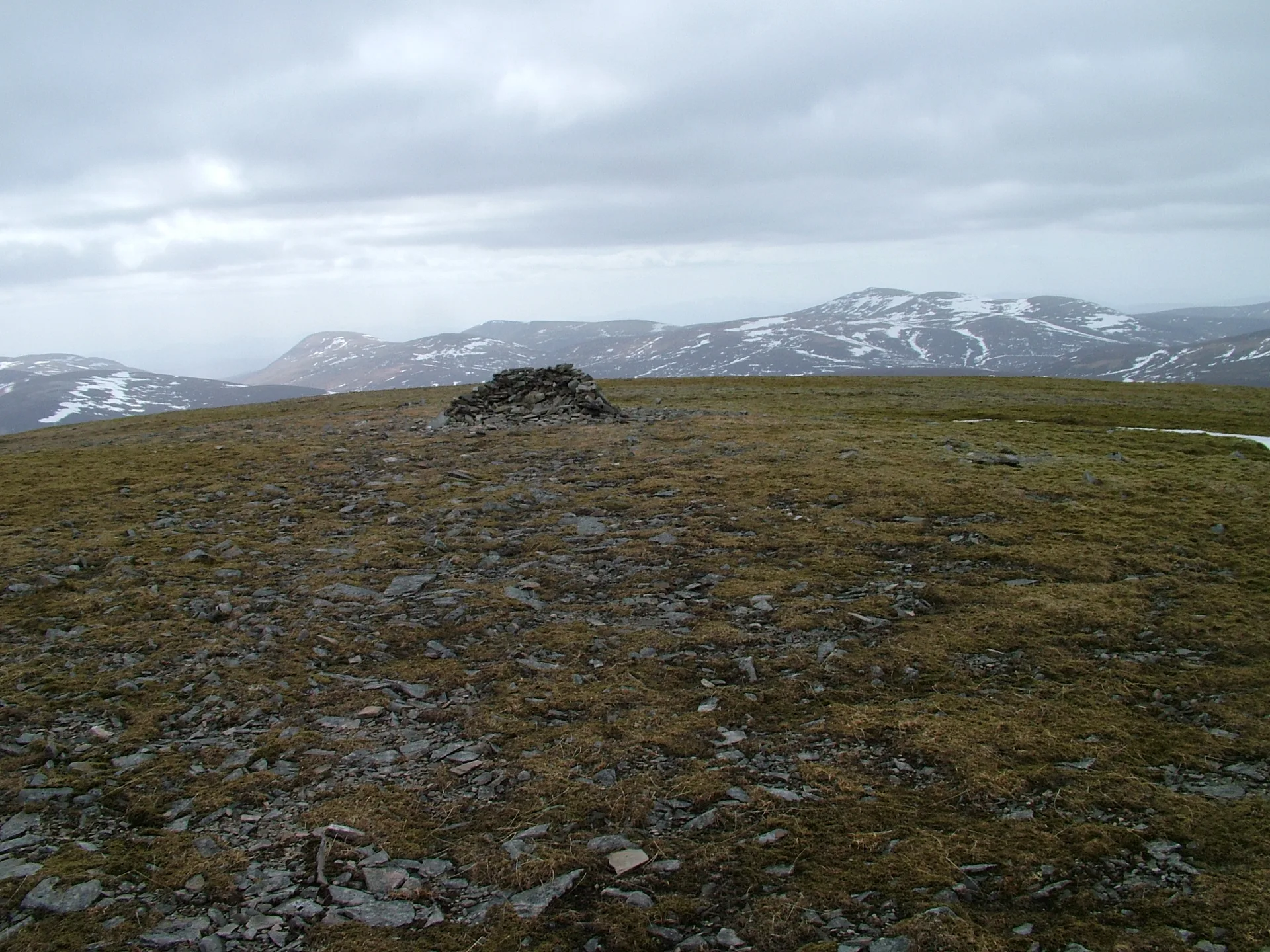


Càrn an Fhìdhleir, the 'cairn of the fiddler', is also known as Càrn Ealar and is shared between Aberdeenshire, Highland, and Perth and Kinross. It's a remote, rolling hill whose gentle slopes rise above the Tarf, Feshie and Geldie, and a col above 700 m links it to An Sgarsoch, so most people climb both together. There's a cairn on top, but the true highest point is flat stony ground about 15 m away.
New to the Munros?Read our guide: What Are The Munros?No marker: ground 15 m north-east of cairn
Heather on the lower slopes and grass on the upper crests, with a flat, stony top.
MarilynSimm
Summit Weather
Our Route
No path for 6.6 kmAbout 6.6 km of this route has no path on the map (longest stretch 6.6 km). Expect rough, pathless ground. You will need a map and compass and the skills to use them.
Also on this route: An Sgarsoch
Safety: Routes are a guide only. Carry a map and compass and know how to use them, check the weather before you go, and turn back if in doubt. You use this route at your own risk.