

Hill data: The Database of British and Irish Hills v18.6 (CC BY 4.0)Height963.5 m3,161 ft
Grid RefNN 915 758
OS MapOL51 & 394OS Explorer
RegionAtholl & Glen Shee
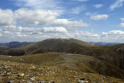
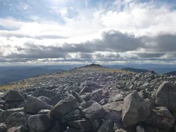
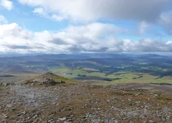
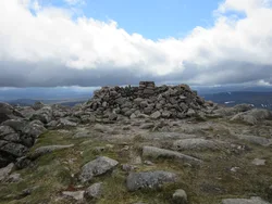
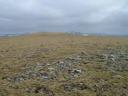
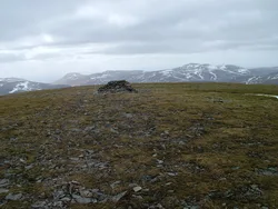
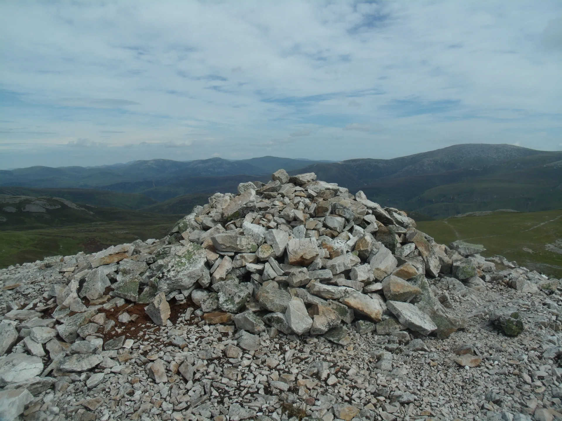
Carn a' Chlamain is roughly 'hill of the kite or buzzard', and it's the high point of a rolling plateau north-east of Glen Tilt in the Forest of Atholl. The top is a boulder-strewn dome rising out of the moorland, with a cairn on it, and the River Tarf rises on its north-western slopes. There's no public road up the glen, so most people walk or cycle about 10 km from Old Blair before taking a stalkers' path up the steep side of the glen.
New to the Munros?Read our guide: What Are The Munros?Summit
Cairn
Rock & Ground
Boulder-covered dome on an undulating moorland plateau, with steep sides falling to Glen Tilt.
Also On These Lists
MarilynSimm
Summit Weather
Our Route
Distance12.5 mi20.1 km
Ascent830 m2,720 ft
Time6h 25mwalking
Start & FinishGlen Tilt car parkNN 8770 6874 · circular route
DirectionsSafety: Routes are a guide only. Carry a map and compass and know how to use them, check the weather before you go, and turn back if in doubt. You use this route at your own risk.