


Hill data: The Database of British and Irish Hills v18.6 (CC BY 4.0)Height942.8 m3,093 ft
Grid RefNO 079 800
OS MapOL52 & 387OS Explorer
RegionAtholl & Glen Shee
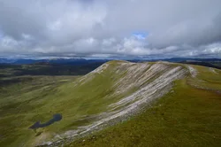
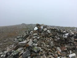
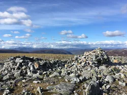
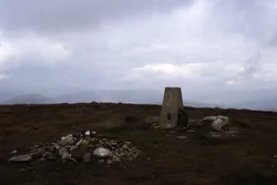
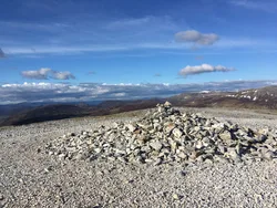
An Socach is a long, rounded ridge rather than a peak, lying a few km west of the A93 between Glen Shee and Braemar. Its highest point is at the western end, where a shelter cairn stands, with another cairn of much the same height just 50 m away. The name is thought to come from the Gaelic soc, a snout, meaning 'the projecting place', though some sources say it means 'the sow'.
New to the Munros?Read our guide: What Are The Munros?Summit
Shelter cairn
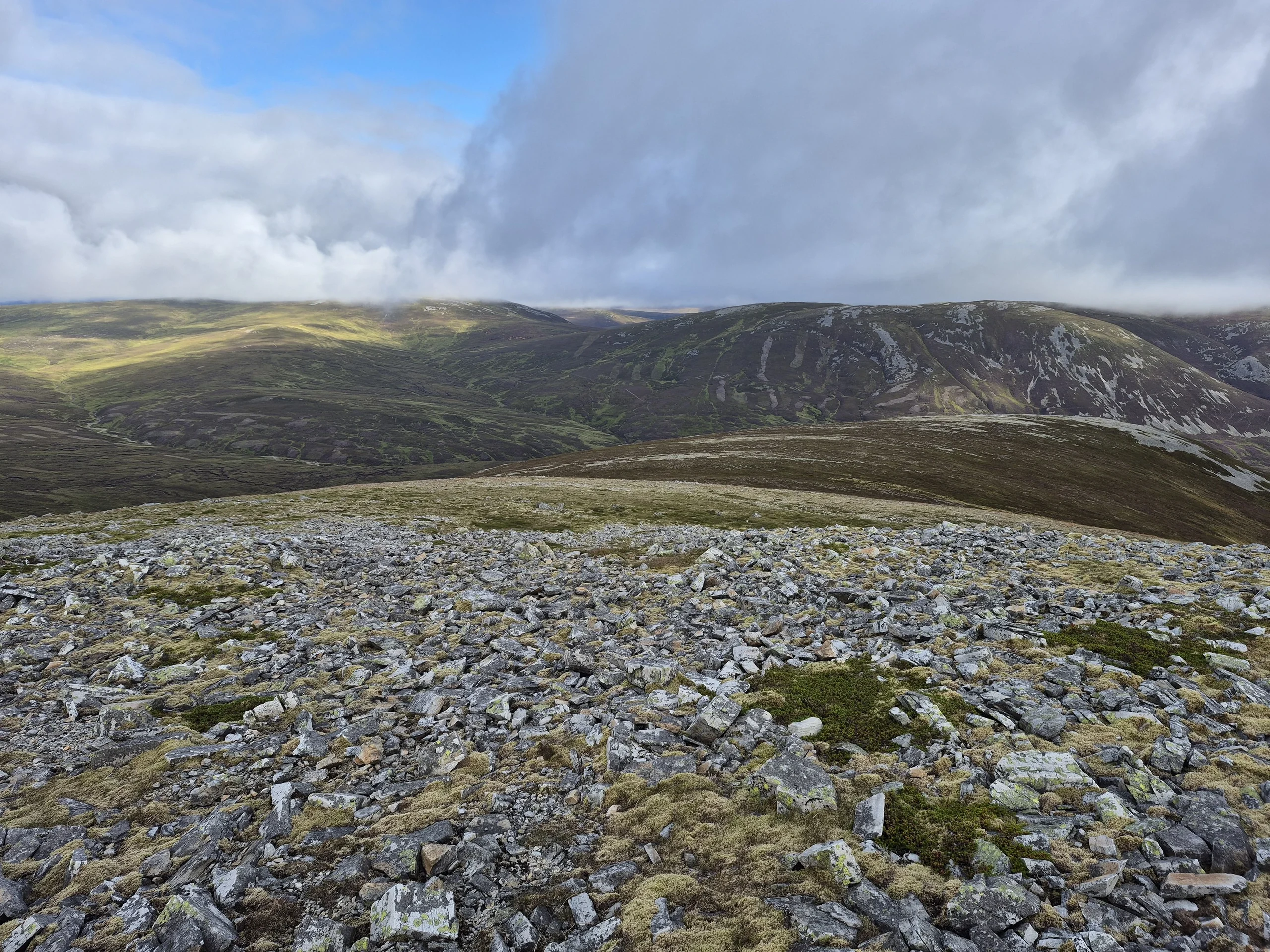
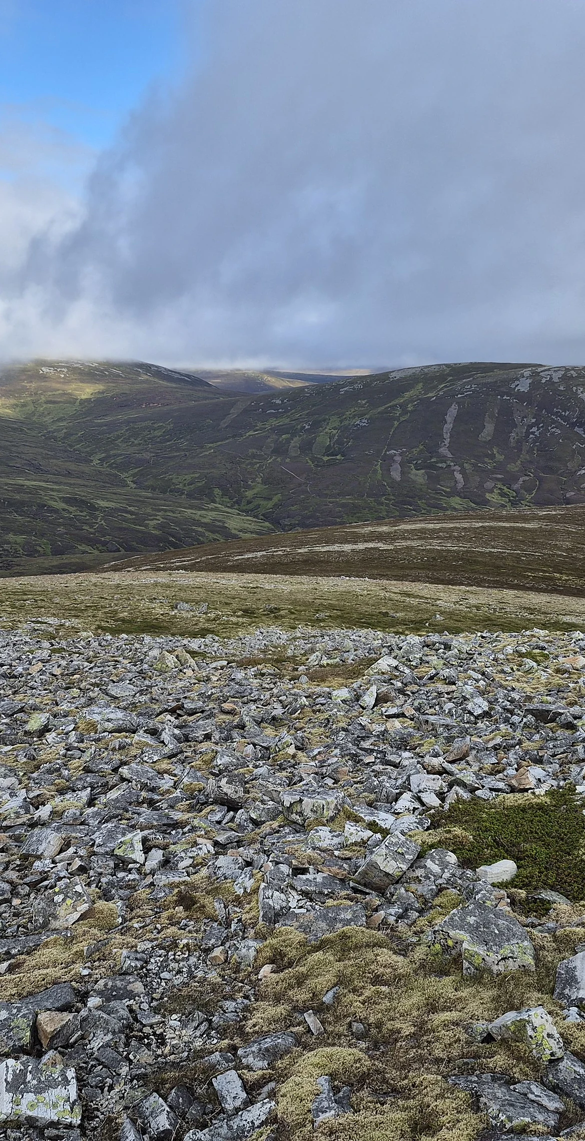
Rock & Ground
Elongated, rounded ridge with two near-equal tops at either end.
Also On These Lists
MarilynSimm
Summit Weather
Our Route
Distance10.7 mi17.2 km
Ascent560 m1,840 ft
Time5h 15mwalking
Start & FinishA car parkNO 1385 8311 · circular route
DirectionsSafety: Routes are a guide only. Carry a map and compass and know how to use them, check the weather before you go, and turn back if in doubt. You use this route at your own risk.