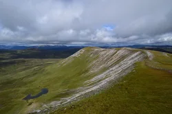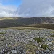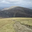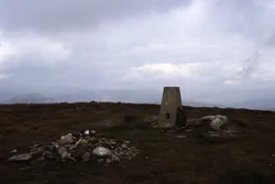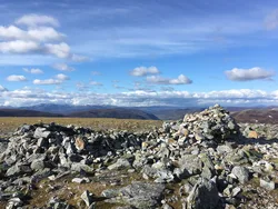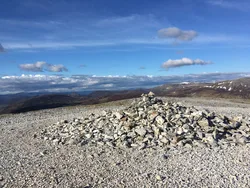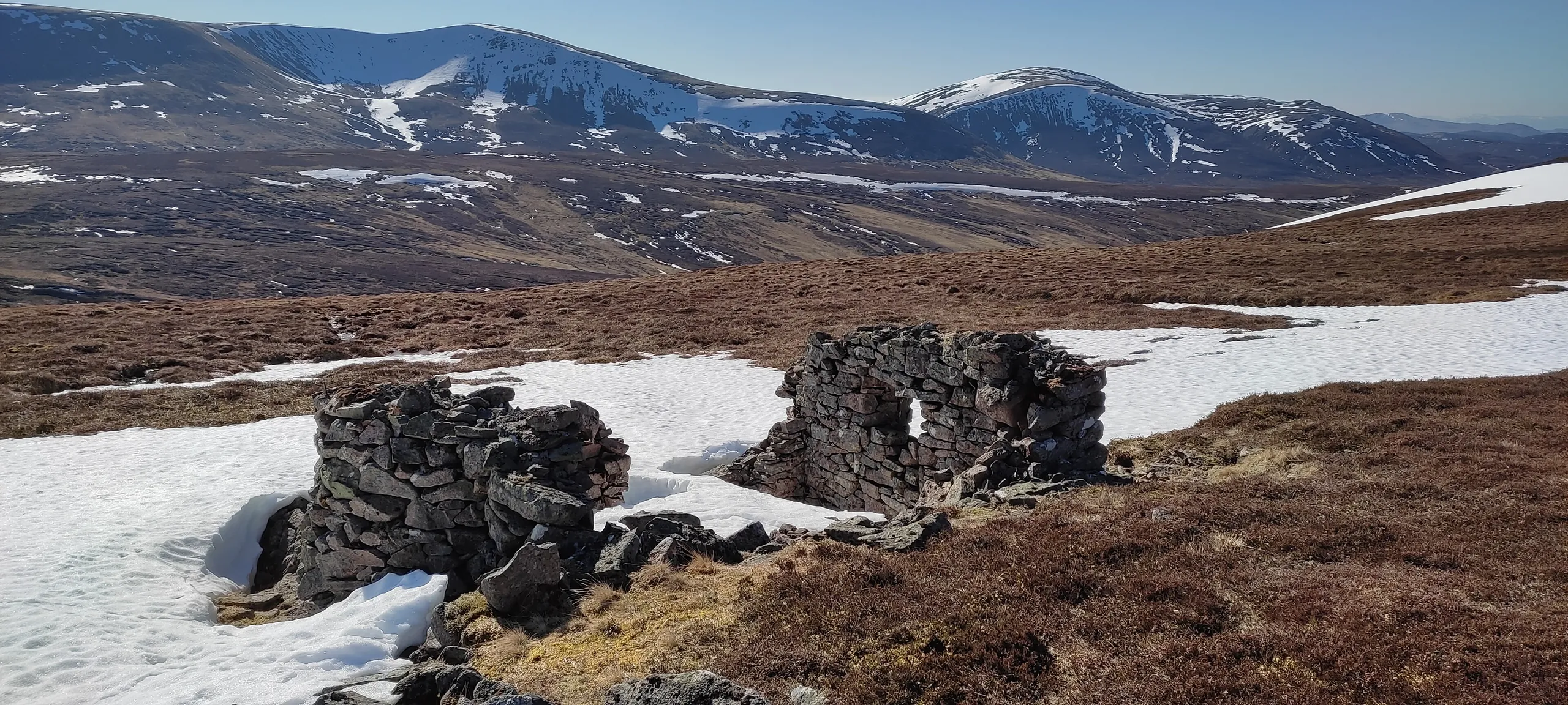

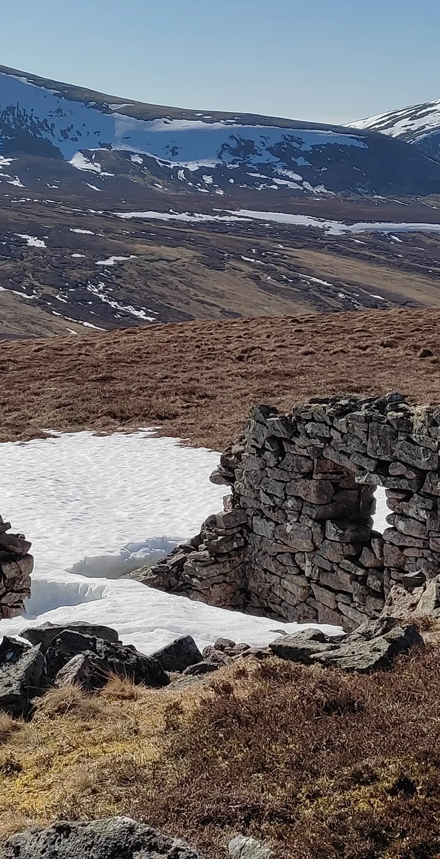


Càrn Bhac, the 'cairn of the peat banks', is the highest of a group of soft, rolling hills south-west of Braemar, between Glen Ey and Glen Lochsie. Boulders and stones cover the top, and there's a large shelter cairn as well as a smaller cairn about 30 m south of it at the true summit. Many walkers start from the ruins of Altanour Lodge in Glen Ey.
New to the Munros?Read our guide: What Are The Munros?Small cairn 30 m south of large shelter cairn
Stony, bouldery top on heather and grass-covered rolling hills.
MarilynSimm
Summit Weather
Our Route
No path for 8.8 kmAbout 8.8 km of this route has no path on the map (longest stretch 3.6 km). Expect rough, pathless ground. You will need a map and compass and the skills to use them.
Also on this route: Beinn Iutharn Mhor
Safety: Routes are a guide only. Carry a map and compass and know how to use them, check the weather before you go, and turn back if in doubt. You use this route at your own risk.