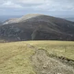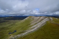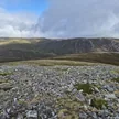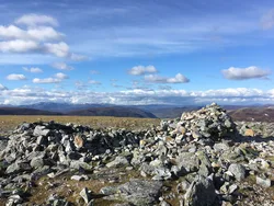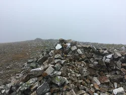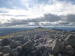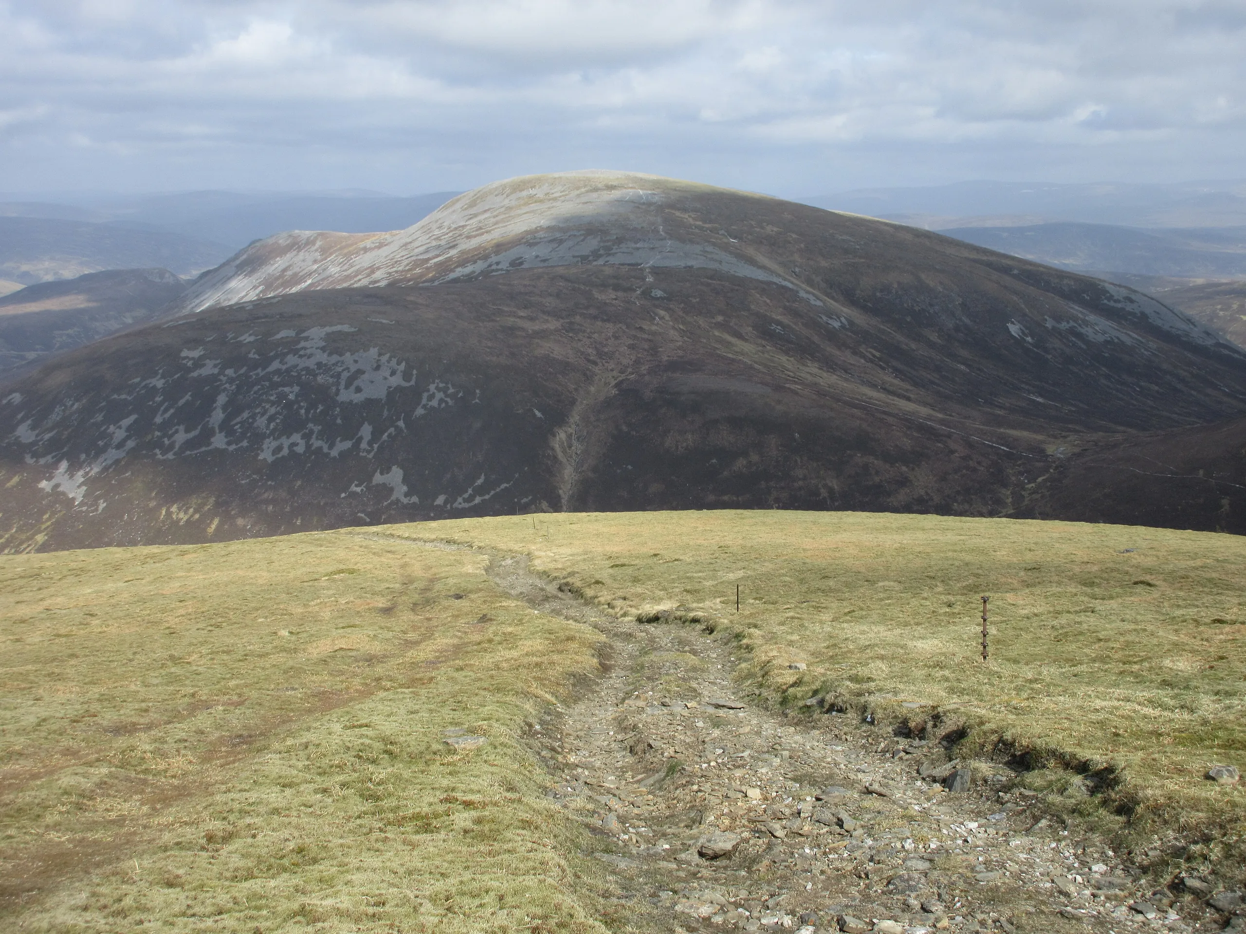

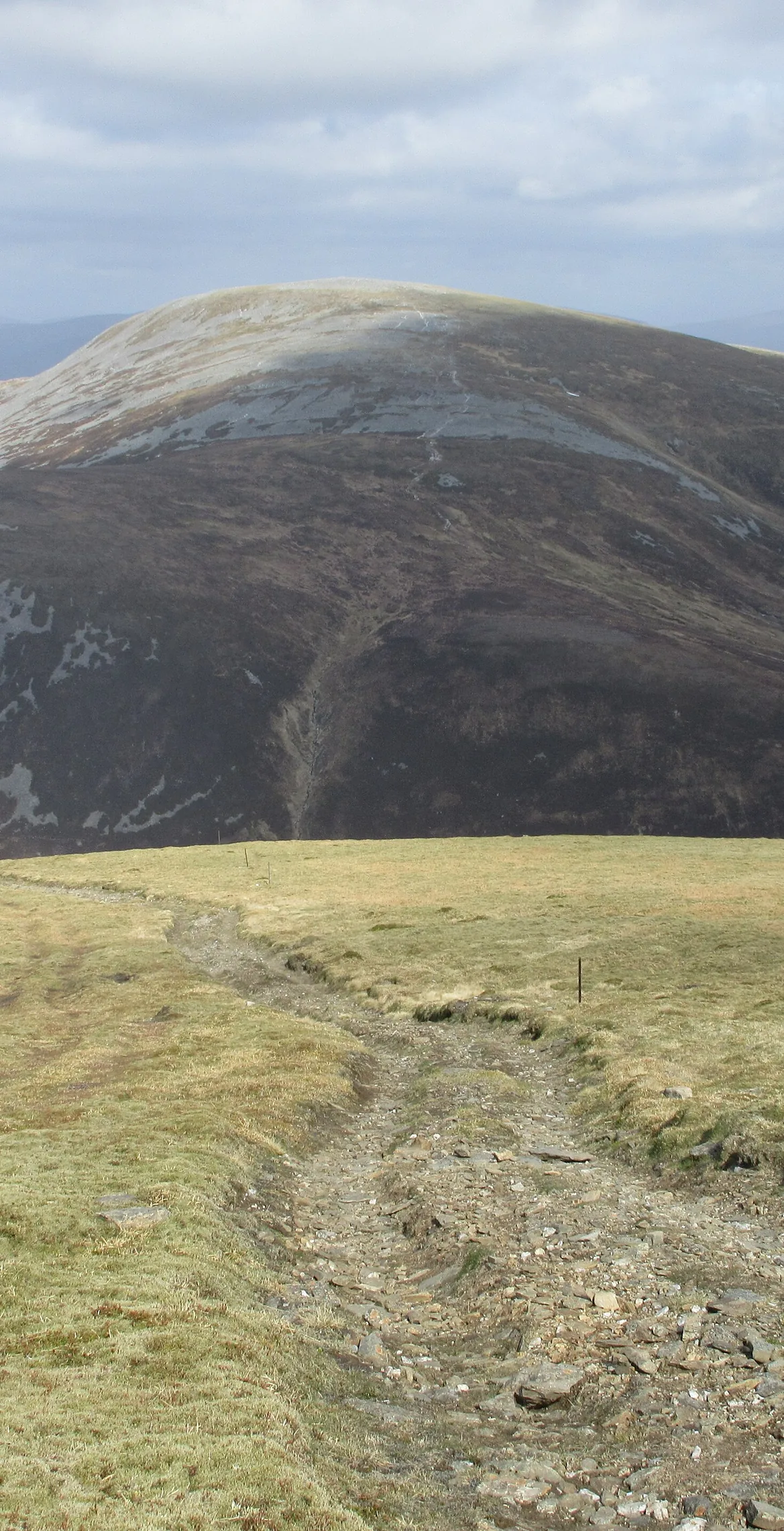


Glas Tulaichean means 'grey-green hillocks', which suits this big, many-ridged hill in the Mounth, the highest of a group of rounded tops. A trig point marks the summit. Its southern approach follows the line of the old Dalmunzie Railway, a dismantled line through Glen Lochsie that now makes a handy path, with a track then climbing almost to the top. Limestone in its eastern corries supports rare arctic-alpine plants.
New to the Munros?Read our guide: What Are The Munros?Trig point
Mostly acidic rock with pockets of limestone, grassy ridges to the south and a steep north-west face.
MarilynSimm
Summit Weather
Our Route
Also on this route: Carn an Righ
Safety: Routes are a guide only. Carry a map and compass and know how to use them, check the weather before you go, and turn back if in doubt. You use this route at your own risk.