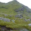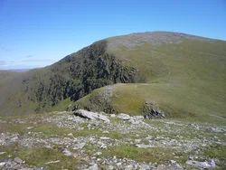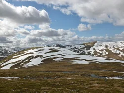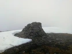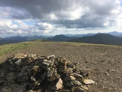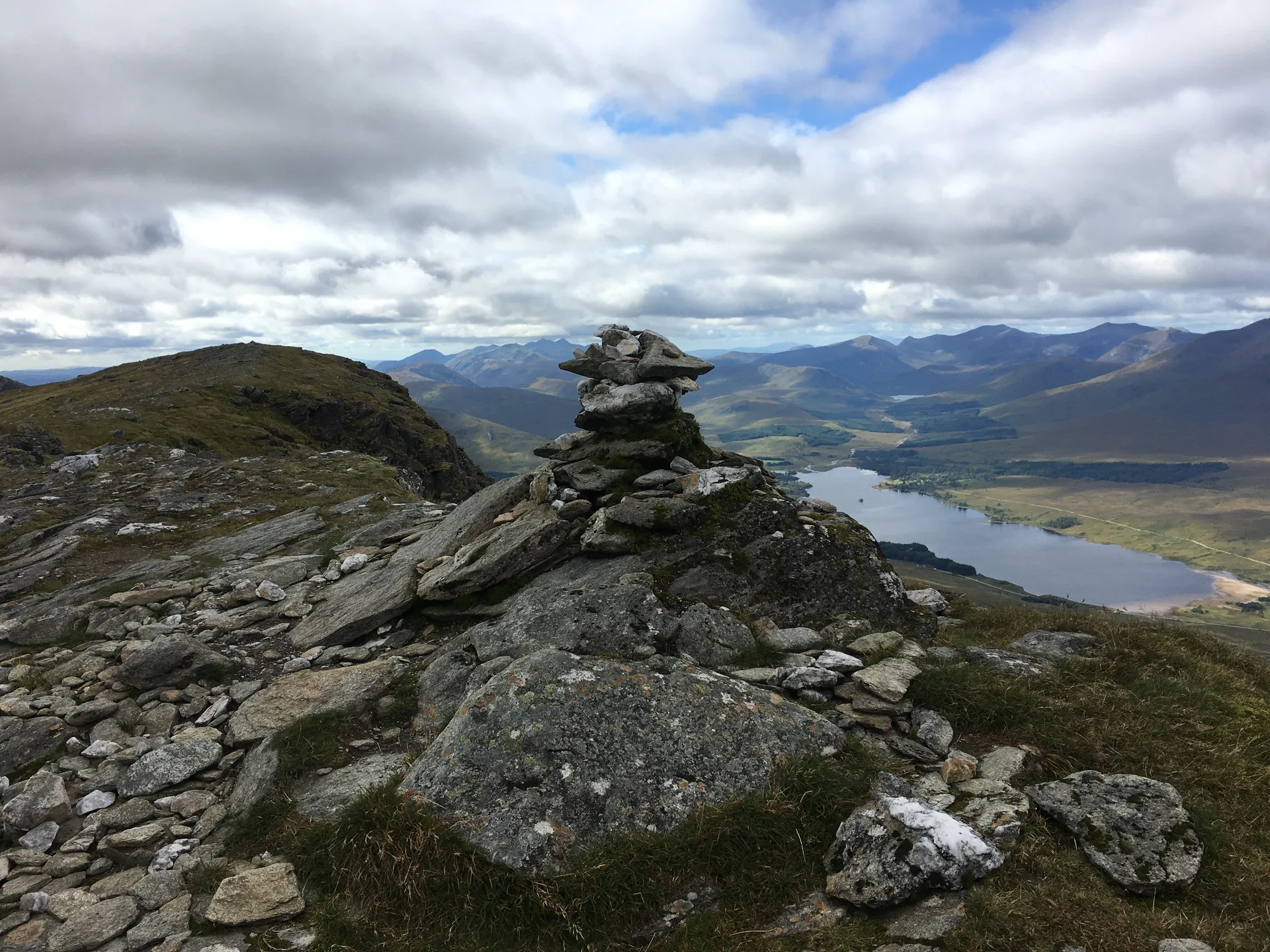


Beinn Achaladair is part of the great wall of hills along the edge of Rannoch Moor, and the flat moor below makes it look even bigger. Its curved summit ridge is nearly 2 km long, with a small cairn on a rock outcrop at the northern end. The name is usually translated as 'field of hard water'. Below the hill, beside Achallader farm, are the ruins of Achallader Castle, once a Campbell of Glenorchy stronghold.
New to the Munros?Read our guide: What Are The Munros?Small cairn on rock outcrop
Steep north-west face, rocky above and grassy below, with tiny lochans in the eastern corrie.
MarilynSimm
Summit Weather
Our Route
Also on this route: Beinn a' Chreachain
Safety: Routes are a guide only. Carry a map and compass and know how to use them, check the weather before you go, and turn back if in doubt. You use this route at your own risk.