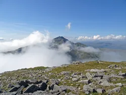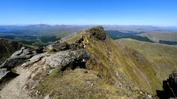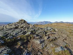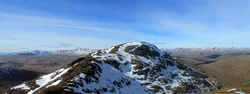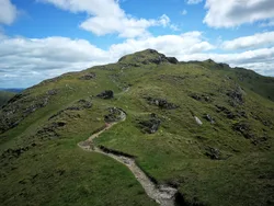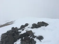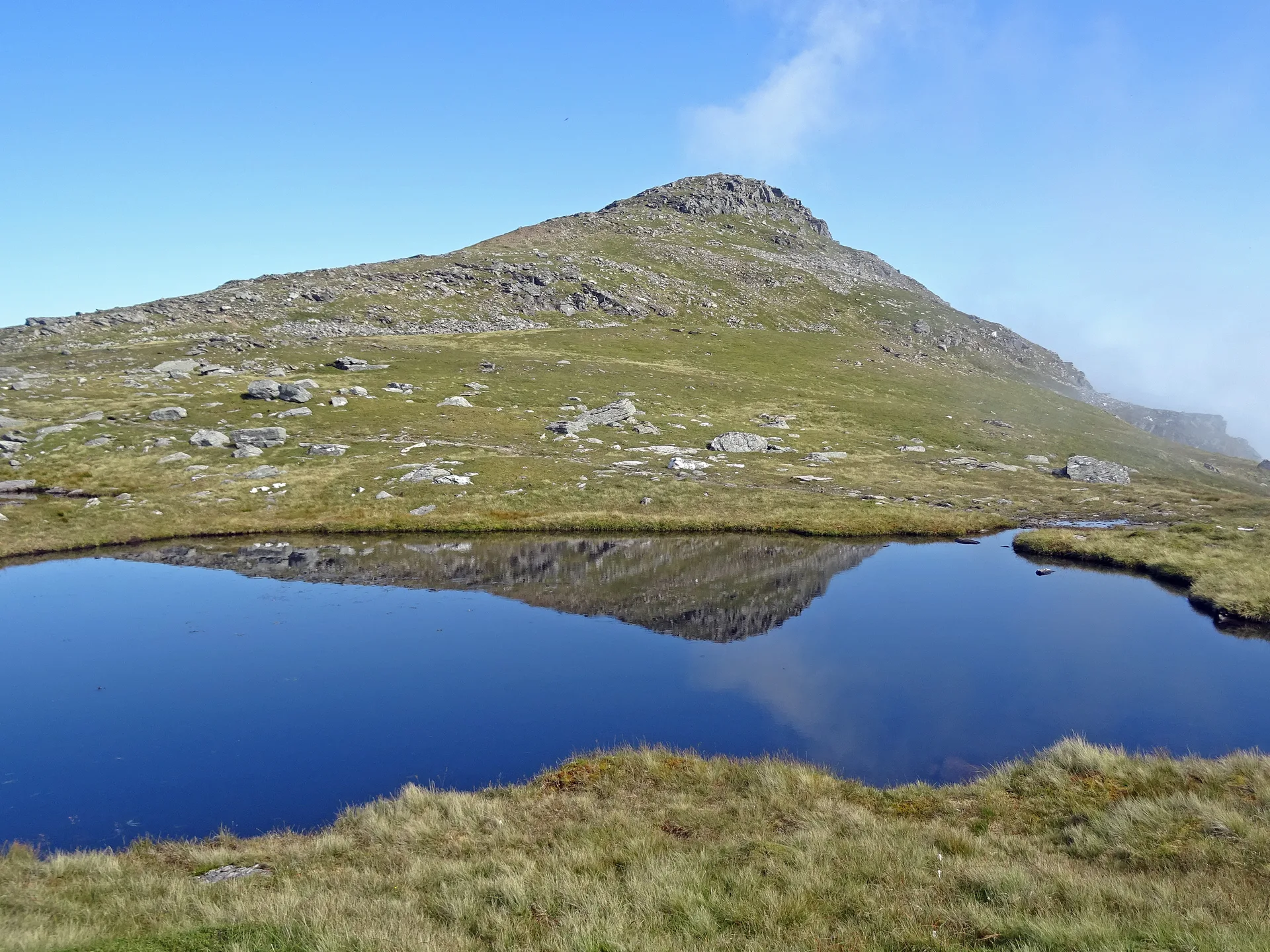


Beinn Dubhchraig takes its name from the Gaelic for 'mountain of the black rock', after the steep, rocky face above Loch Oss, a small loch with an island in the corrie to the south. Below the northern corrie are the remains of Coille Coire Chuilc, a fragment of the old Caledonian pinewood, and the northern foothills still carry scars from lead mines that closed in 1923. A cairn marks the top, with Ben More and Stob Binnein in view to the south-east.
New to the Munros?Read our guide: What Are The Munros?Cairn
Schist ridges with small lochans in the hollows, and a steep rocky face above Loch Oss.
MarilynSimm
Summit Weather
Our Route
Also on this route: Ben Oss
Safety: Routes are a guide only. Carry a map and compass and know how to use them, check the weather before you go, and turn back if in doubt. You use this route at your own risk.