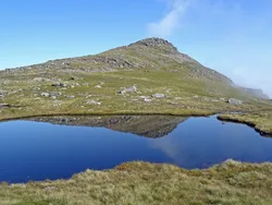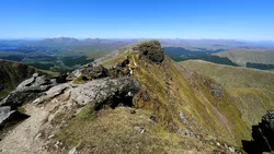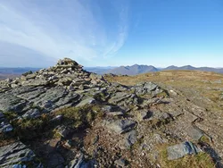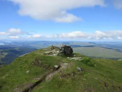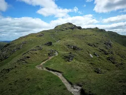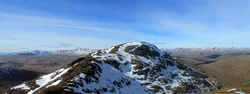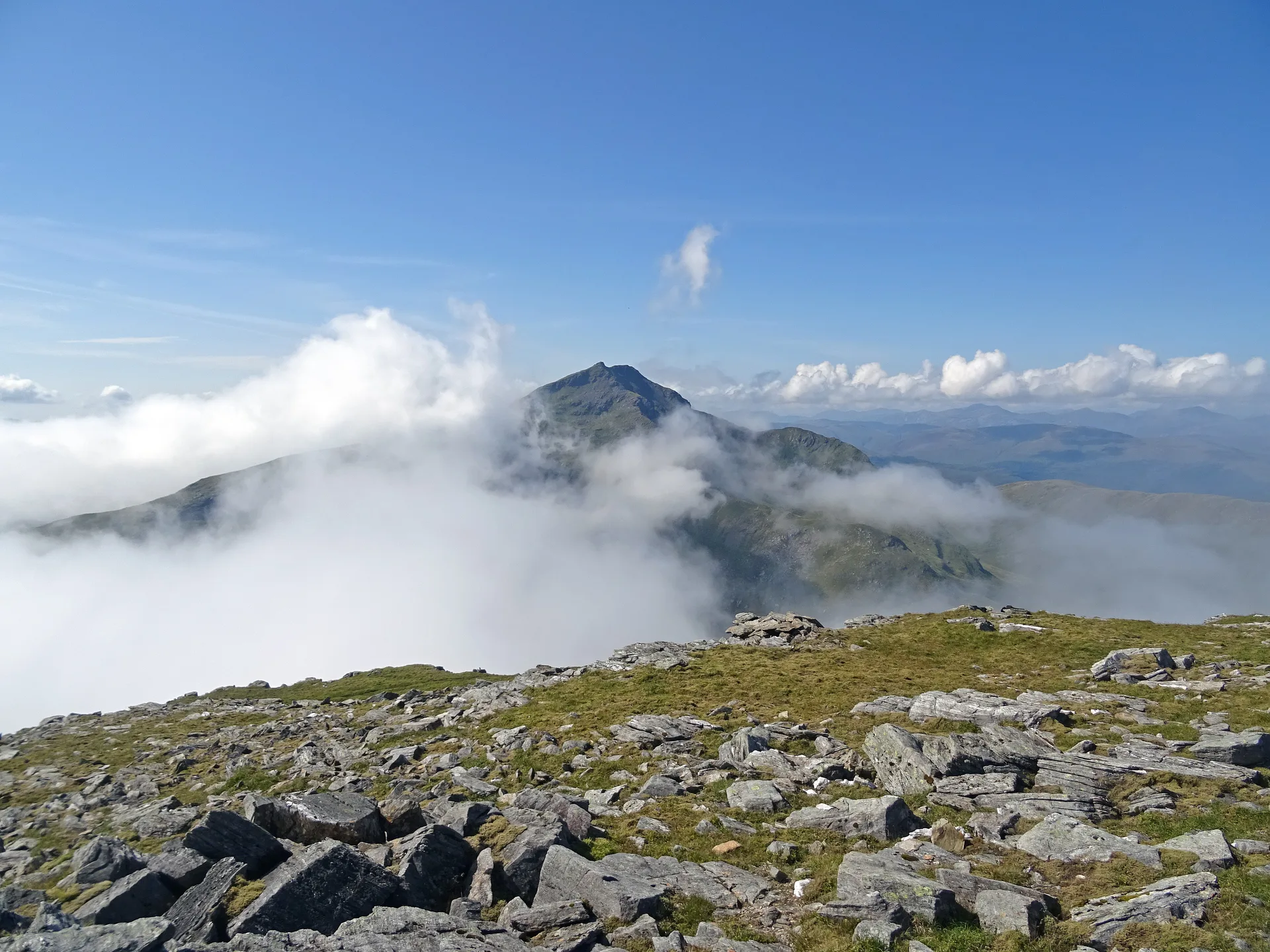


Ben Oss sits between Ben Lui and Beinn Dubhchraig, and its flattish top is a mix of big slabby rocks and grass, with a cairn and the highest point on a rock just south-east of it. The Gaelic name is usually given as 'mountain of the elk', though 'os' can also mean a loch outlet. The hill stands on Scotland's watershed, so rain on its north side ends up in the Tay and rain on its south side reaches the Clyde via Loch Lomond.
New to the Munros?Read our guide: What Are The Munros?Rock 30 m south-east of cairn
Mica schist, rocky and craggy, with a steep northern face and a small loch in Coire Garbh.
MarilynSimm
Summit Weather
Our Route
Also on this route: Beinn Dubhchraig
Safety: Routes are a guide only. Carry a map and compass and know how to use them, check the weather before you go, and turn back if in doubt. You use this route at your own risk.