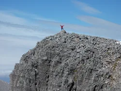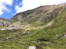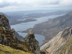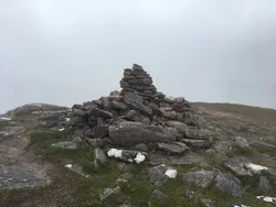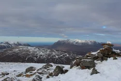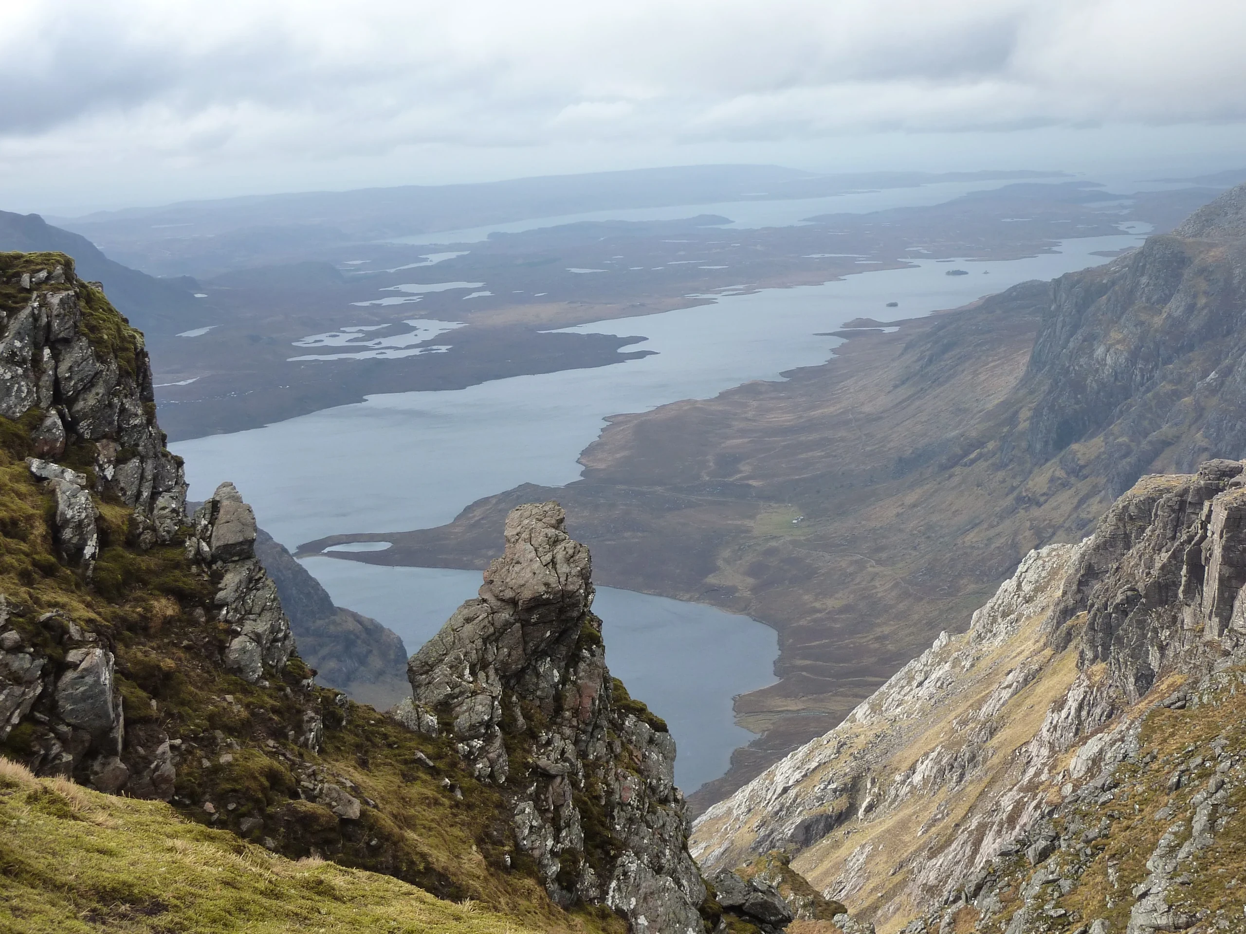

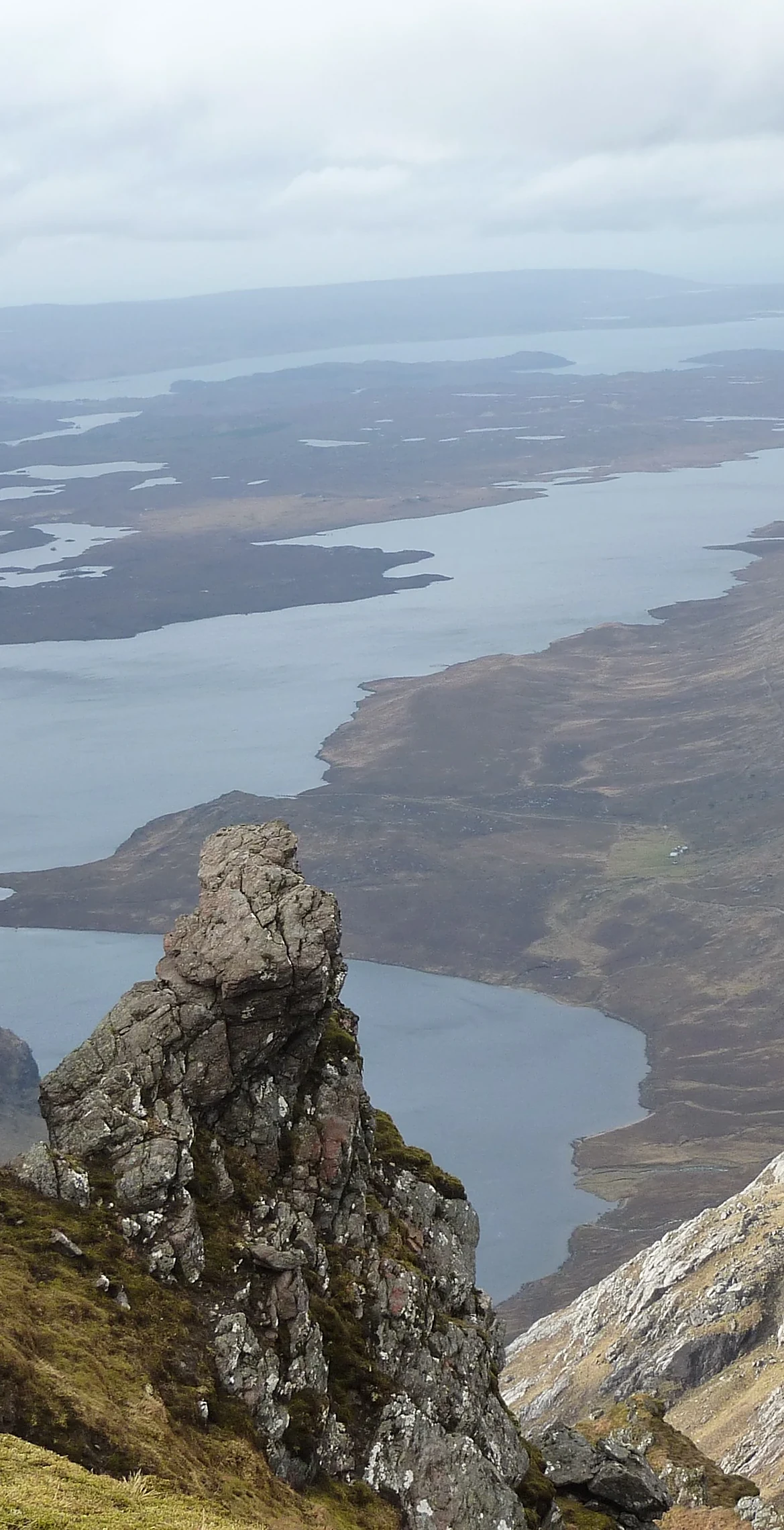


Beinn Tarsuinn stands in the middle of the Fisherfield Forest, one of the wildest and most remote corners of Scotland. Its summit cairn is built on a rock. Most walkers reach it as part of the Fisherfield round from Shenavall to the north, while the alternative is a long walk in from Kinlochewe to the south, often with a wild camp near Loch Fada.
New to the Munros?Read our guide: What Are The Munros?Cairn on rock
Remote hill in the Fisherfield Forest, with a cairn on a rocky summit.
MarilynSimm
Summit Weather
Our Route
No path for 11.1 kmAbout 11.1 km of this route has no path on the map (longest stretch 4.1 km). Expect rough, pathless ground. You will need a map and compass and the skills to use them.
Also on this route: Mullach Coire Mhic Fhearchair, Sgurr Ban, A' Mhaighdean, Ruadh Stac Mor
Safety: Routes are a guide only. Carry a map and compass and know how to use them, check the weather before you go, and turn back if in doubt. You use this route at your own risk.