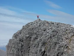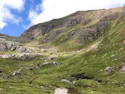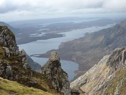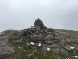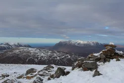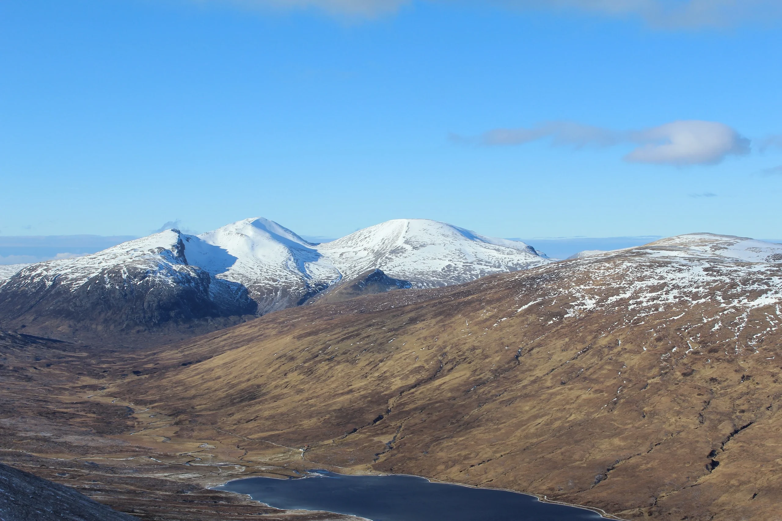

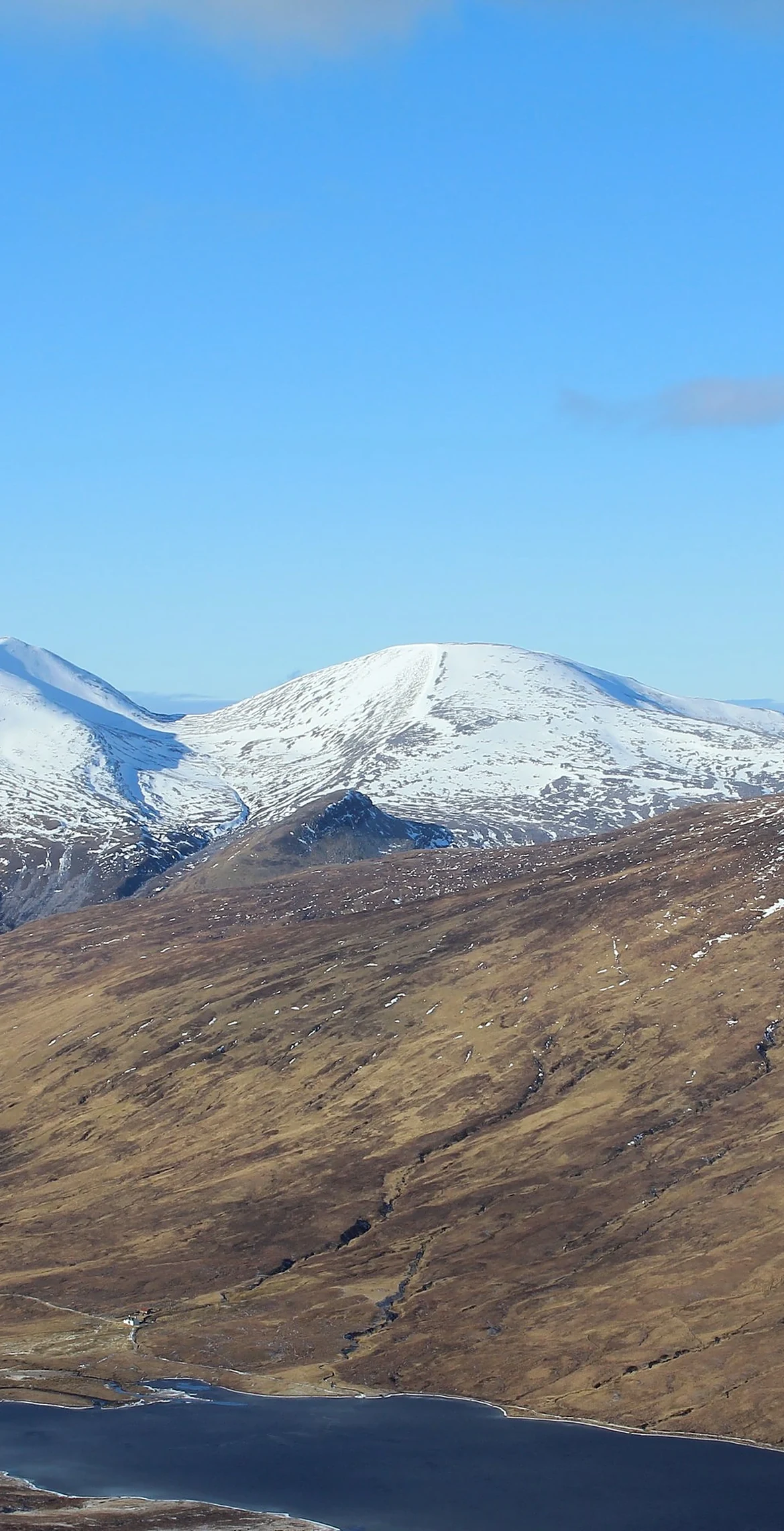


Deep in the Fisherfield and Letterewe wilderness, Sgurr Ban gets its name, 'white peak', from the pale quartzite boulders that cover its upper slopes. The summit is a dome of stones with a large cairn on top. Above Loch an Nid the same quartzite forms slabs that can be climbed, and the hill is usually done as part of the long Fisherfield round.
New to the Munros?Read our guide: What Are The Munros?Large cairn
Quartzite throughout, with white boulder fields on the upper slopes and slabs above Loch an Nid.
MarilynSimm
Summit Weather
Our Route
No path for 11.1 kmAbout 11.1 km of this route has no path on the map (longest stretch 4.1 km). Expect rough, pathless ground. You will need a map and compass and the skills to use them.
Also on this route: Mullach Coire Mhic Fhearchair, A' Mhaighdean, Beinn Tarsuinn, Ruadh Stac Mor
Safety: Routes are a guide only. Carry a map and compass and know how to use them, check the weather before you go, and turn back if in doubt. You use this route at your own risk.