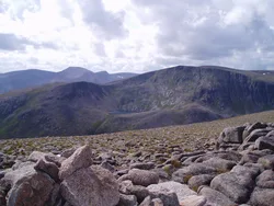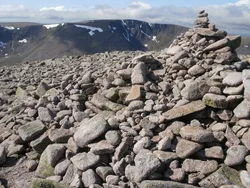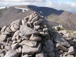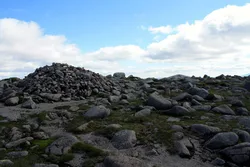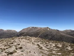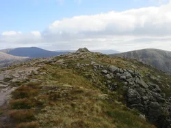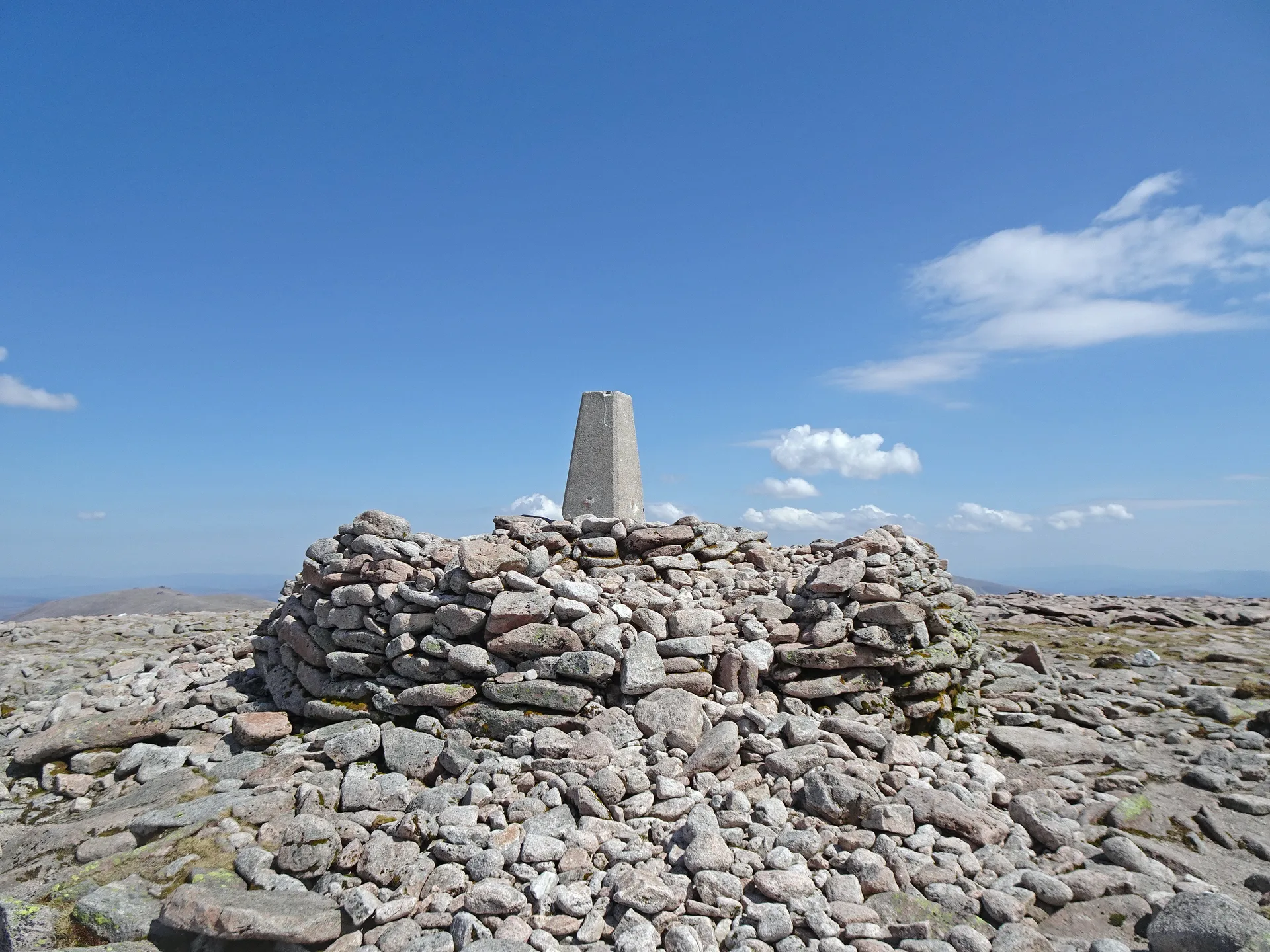


Ben Macdui rises from the south-west edge of the Cairngorm plateau, between the Lairig Ghru and Loch Etchachan. Its stony top has a trig point, the ruins of a surveyors' shelter, and a view indicator put up by the Cairngorm Club in 1925. Until surveys in 1847 some thought it might beat Ben Nevis, and Queen Victoria climbed it in 1859. The name is usually given as 'MacDuff's mountain', and it's said to be haunted by Am Fear Liath Mòr, the Big Grey Man.
New to the Munros?Read our guide: What Are The Munros?Trig point on large platform
High, stony plateau of gently rising moorland, with snow patches that can linger into summer.
MarilynSimmCounty Top
Summit Weather
Our Route
Also on this route: Cairn Gorm
Safety: Routes are a guide only. Carry a map and compass and know how to use them, check the weather before you go, and turn back if in doubt. You use this route at your own risk.