

Hill data: The Database of British and Irish Hills v18.6 (CC BY 4.0)Height918.8 m3,014 ft
Grid RefNN 025 995
OS Map399OS Explorer
RegionKnoydart & Loch Quoich
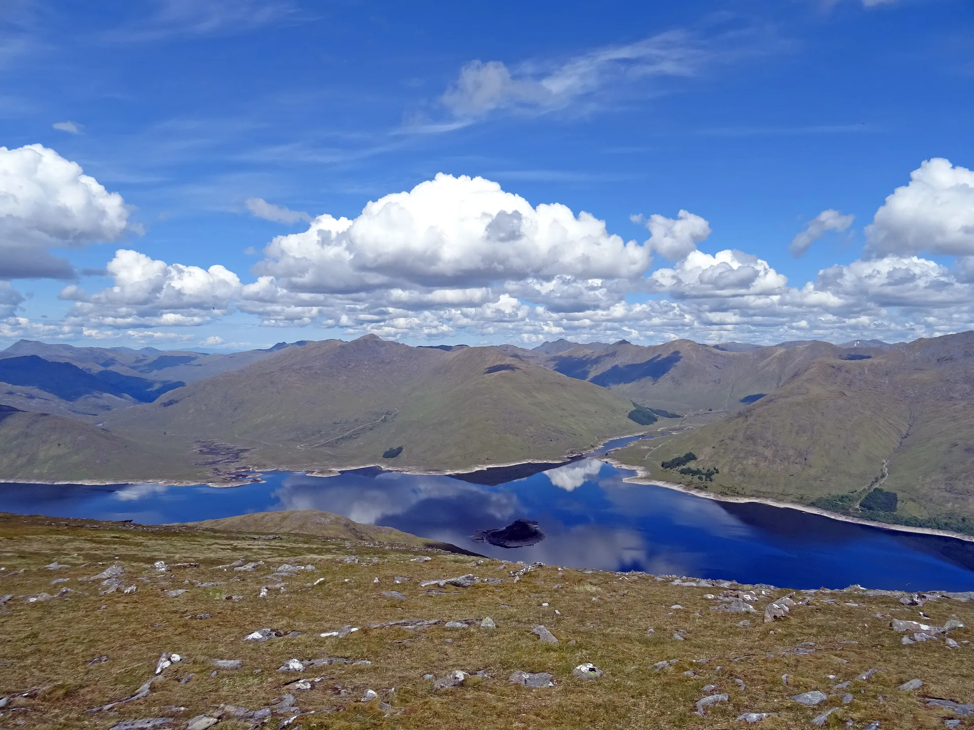
Gairich looks like a neat cone from the Loch Quoich dam, where most ascents begin. Sources disagree on its name: it's been read as 'roaring peak' or 'peak of yelling', while the place-name body Ainmean-Àite na h-Alba gives 'Garry's peak'. When Loch Quoich was dammed for hydro-electric power in 1957, the rising water drowned an old right of way along its southern shore.
New to the Munros?Read our guide: What Are The Munros?Summit
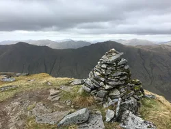
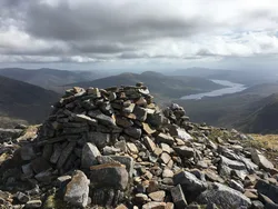
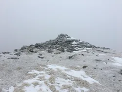
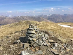
Cairn
Rock & Ground
Rough, isolated hill with a long summit plateau, crag-rimmed northern corrie and steep southern flank.
Also On These Lists
MarilynSimm
Summit Weather
Our Route
Distance10.5 mi16.9 km
Ascent760 m2,490 ft
Time5h 30mwalking
Start & FinishA car park near HighbridgeNH 0751 0239 · circular route
DirectionsSafety: Routes are a guide only. Carry a map and compass and know how to use them, check the weather before you go, and turn back if in doubt. You use this route at your own risk.