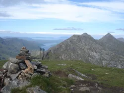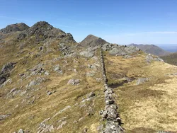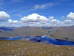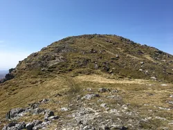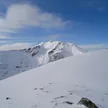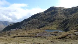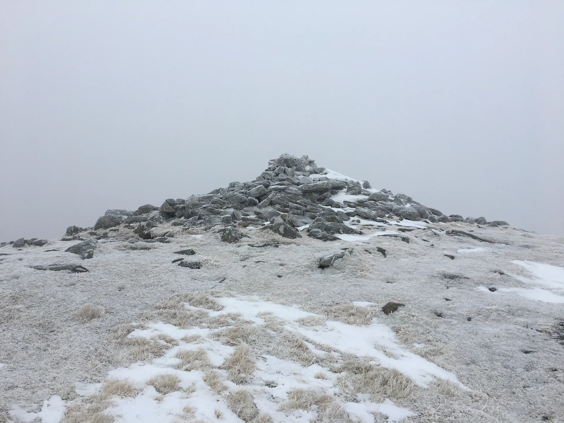


Sgùrr Mòr, the 'big peak', is a steep, rocky mountain between Loch Quoich and Glen Kingie, on the edge of the Rough Bounds of Knoydart. It's counted among the most remote Munros, usually reached from Strathan at the head of Loch Arkaig by crossing a pass there and back. Grassy ridges spread out from its summit crest, which carries a large cairn.
New to the Munros?Read our guide: What Are The Munros?Large cairn
Steep and rugged, with grassy ridges fanning out from the summit crest.
MarilynSimm
Summit Weather
Our Route
No path for 7.1 kmAbout 7.1 km of this route has no path on the map (longest stretch 2.4 km). Expect rough, pathless ground. You will need a map and compass and the skills to use them.
Safety: Routes are a guide only. Carry a map and compass and know how to use them, check the weather before you go, and turn back if in doubt. You use this route at your own risk.