

Hill data: The Database of British and Irish Hills v18.6 (CC BY 4.0)Height1,039.8 m3,411 ft
Grid RefNN 514 397
OS MapOL48 & 378OS Explorer
RegionLoch Tay to Rannoch
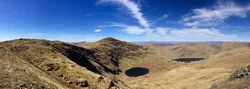
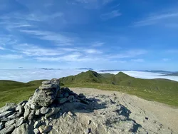
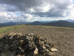
Meall Ghaordaidh sits between Glen Lochay and Glen Lyon, and its top is marked by a trig point inside a large circular stone windshelter. The name may come from the Gaelic gairdean, meaning a shoulder or arm. The usual way up from Glen Lochay follows a worn path north-west through peat bog, while from Glen Lyon routes start at Stronuich.
New to the Munros?Read our guide: What Are The Munros?Summit
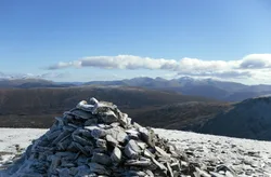
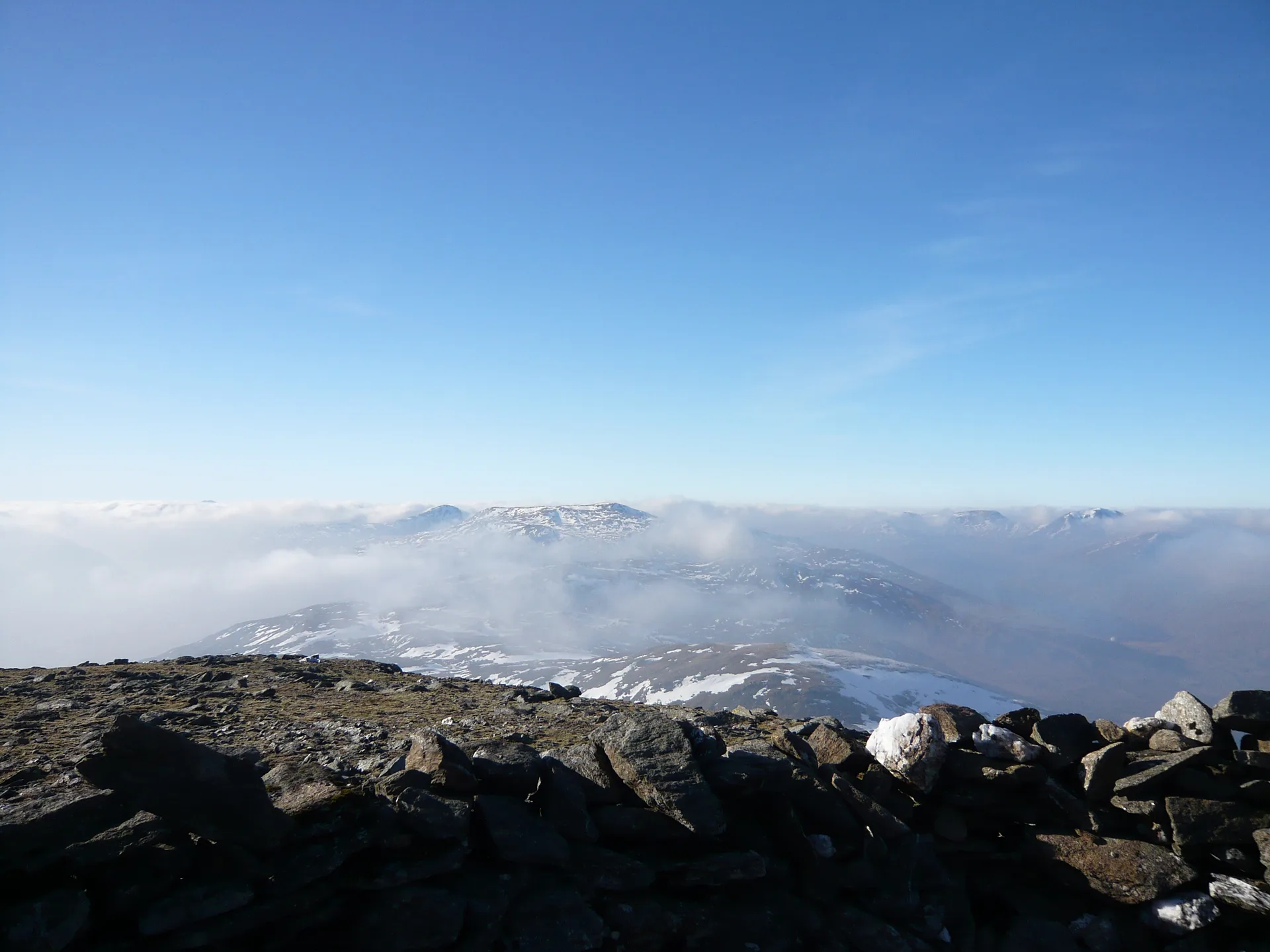
Trig point in windshelter
Rock & Ground
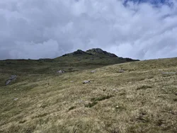
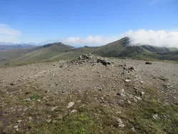
Peat bog on the lower slopes, crossed by an eroded path, with a stone windshelter on top.
Also On These Lists
MarilynSimm
Summit Weather
Our Route
Distance5.8 mi9.4 km
Ascent850 m2,790 ft
Time3h 45mwalking
Start & FinishA car parkNN 5263 3633 · circular route
DirectionsSafety: Routes are a guide only. Carry a map and compass and know how to use them, check the weather before you go, and turn back if in doubt. You use this route at your own risk.