

Hill data: The Database of British and Irish Hills v18.6 (CC BY 4.0)Height920.1 m3,019 ft
Grid RefNN 462 317
OS MapOL48 & 378OS Explorer
RegionLoch Tay to Rannoch
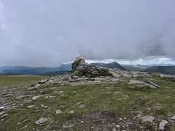
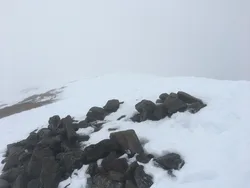
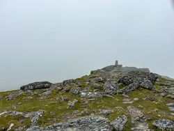
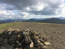
Sgiath Chùil, Gaelic for 'back wing', lies between Glen Dochart and Glen Lochay on the northern edge of the Loch Lomond and the Trossachs National Park. Its summit cairn sits on a small rock outcrop. In Munro's first list of 1891 it was wrongly counted as a mere top, with neighbouring Meall a' Churain treated as the main hill, until the 1921 revision swapped them round.
New to the Munros?Read our guide: What Are The Munros?Summit
Cairn on outcrop
Rock & Ground
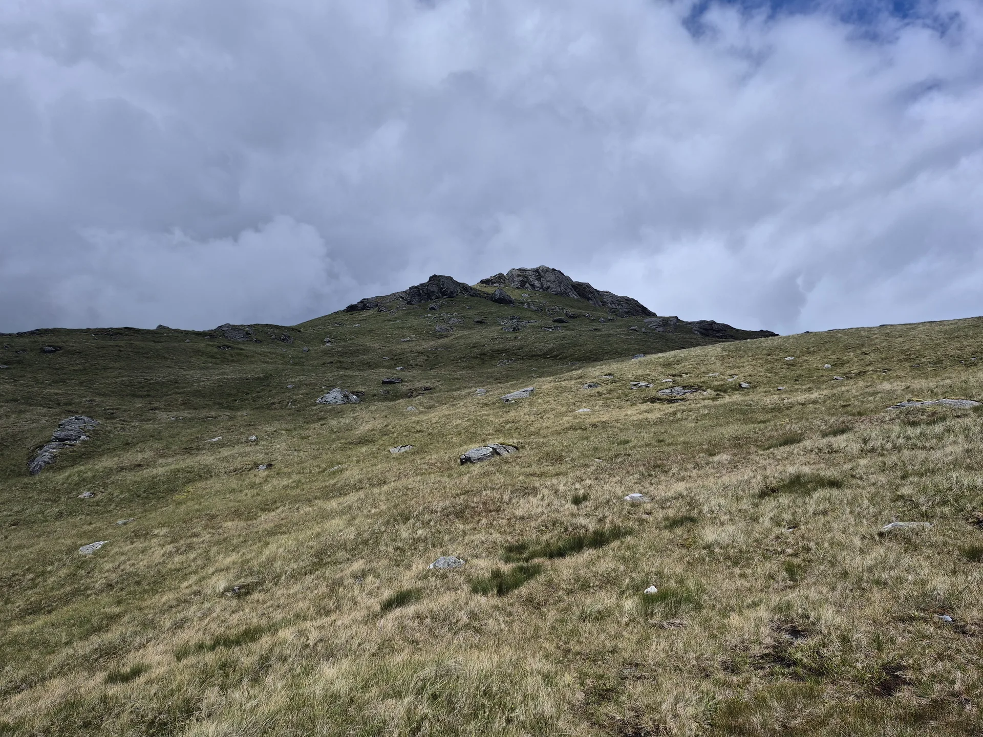
Summit cairn on a small crag, with a low, steep-sided bealach dividing it from Meall Glas.
Also On These Lists
MarilynSimm
Summit Weather
Our Route
Distance10.4 mi16.8 km
Ascent1,110 m3,640 ft
Time6h 05mwalking
Start & FinishA car parkNN 4526 2761 · circular route
DirectionsAlso on this route: Meall Glas
Safety: Routes are a guide only. Carry a map and compass and know how to use them, check the weather before you go, and turn back if in doubt. You use this route at your own risk.