


Hill data: The Database of British and Irish Hills v18.6 (CC BY 4.0)Height925.7 m3,037 ft
Grid RefNH 101 499
OS Map429 & 430OS Explorer
RegionStrathfarrar & Monar
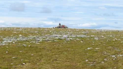
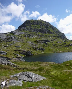
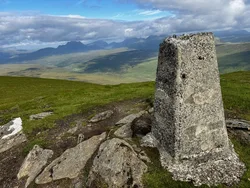
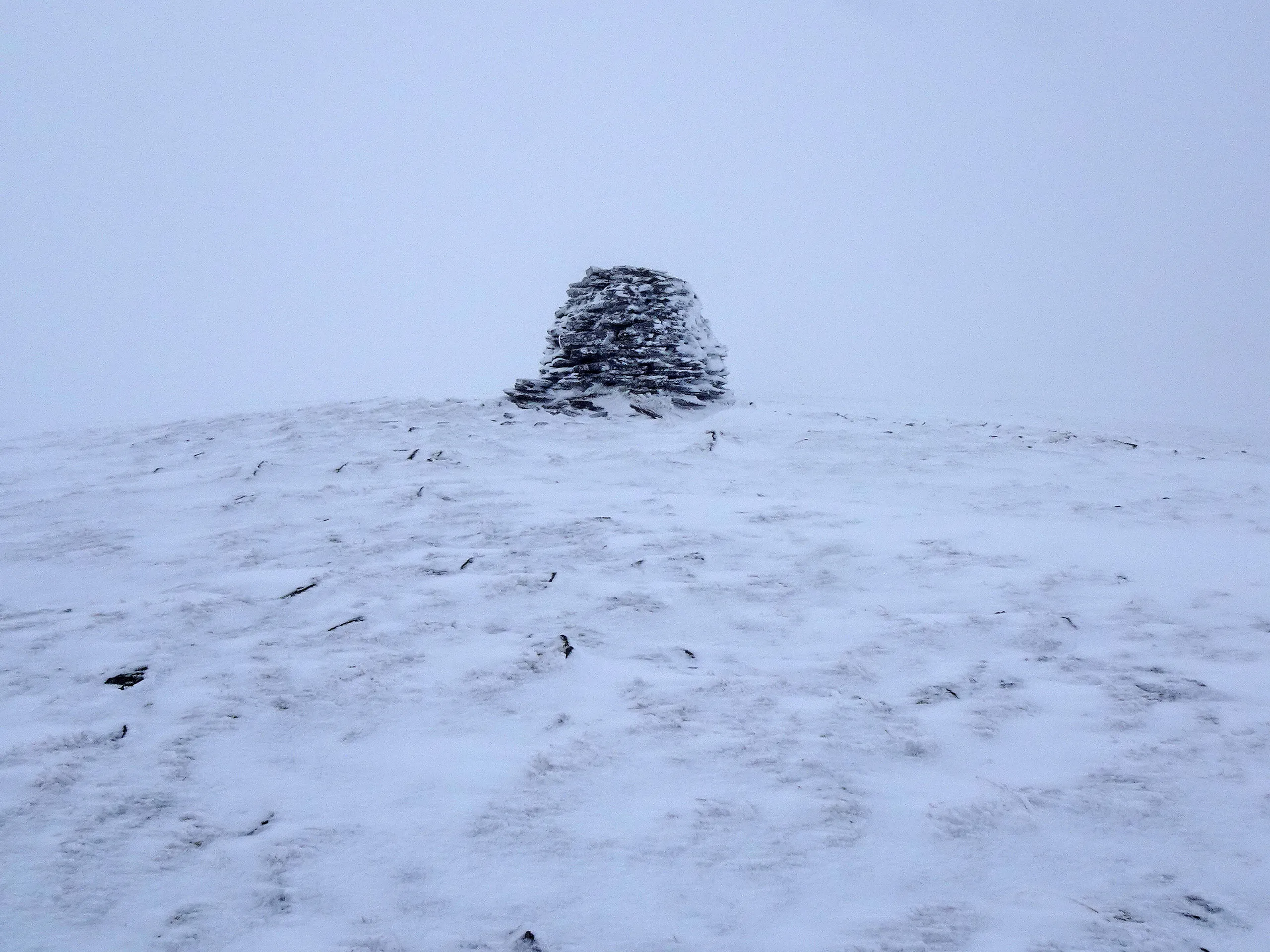
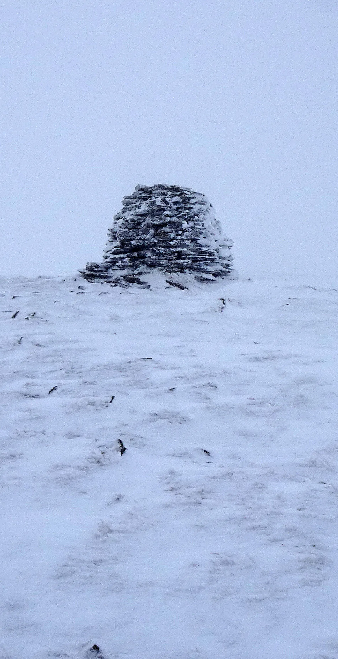
Mòruisg is Gaelic for 'big water', an odd name for a hill whose only water is a pair of small lochs in its northern corries. The top is a broad plateau dotted with bumps and cairns, and the highest point has just a tiny cairn, while a larger one further north-east is at least 2 m lower. From the summit you look out over the remote hills north of Loch Monar.
New to the Munros?Read our guide: What Are The Munros?Summit
Cairn
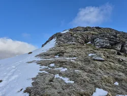
Rock & Ground
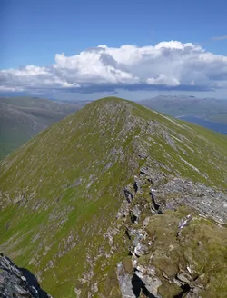
Long, steep-sided hill, with grassy slopes rising to a wide, flat summit plateau.
Also On These Lists
MarilynSimm
Summit Weather
Our Route
Distance4.5 mi7.2 km
Ascent780 m2,560 ft
Time3h 05mwalking
Start & FinishA car park near River CarronNH 0801 5202 · circular route
DirectionsSafety: Routes are a guide only. Carry a map and compass and know how to use them, check the weather before you go, and turn back if in doubt. You use this route at your own risk.