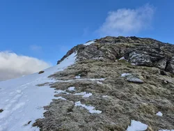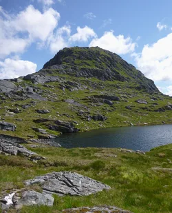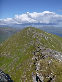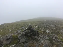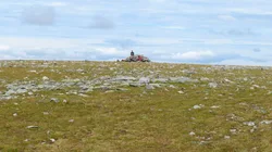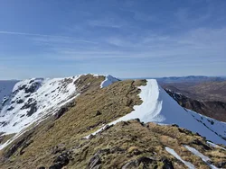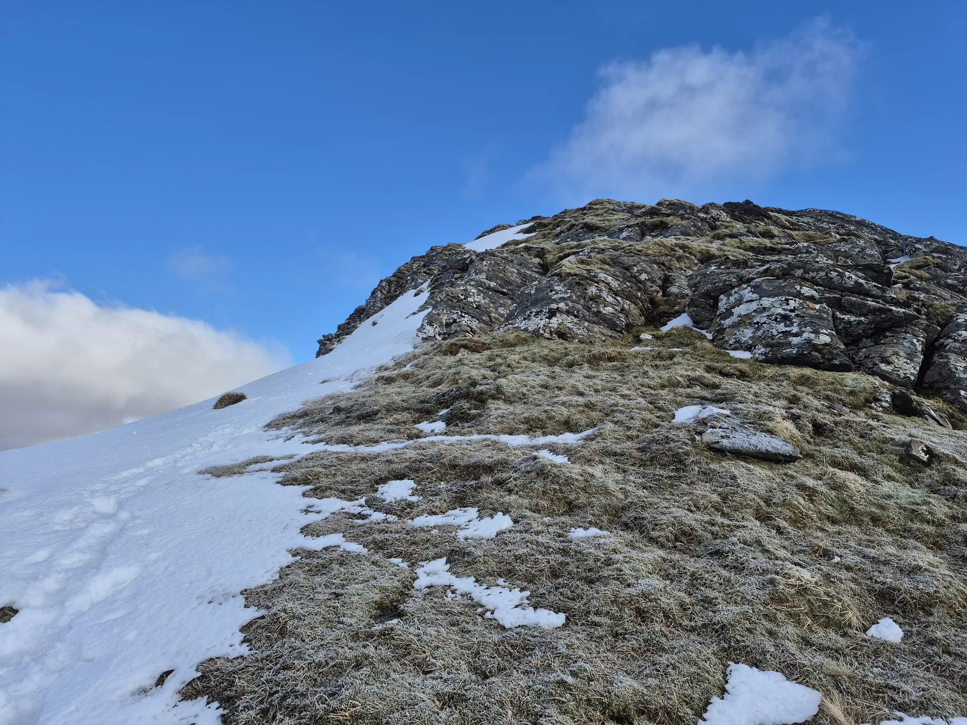


Sgùrr Choinnich has a narrow summit ridge running east to west, with crags on its north side above Coire Choinnich. The name is given as 'Kenneth's peak', or possibly 'mossy peak', since Coinneach can mean either. A cairn marks the top. To the north you look out to the Coulin and Torridon hills, and to the south over the wild country around Loch Monar.
New to the Munros?Read our guide: What Are The Munros?Cairn
Mostly steep grassy slopes, with crags along the north side of the summit ridge.
HuMPSimm
Summit Weather
Our Route
No path for 7.5 kmAbout 7.5 km of this route has no path on the map (longest stretch 5.4 km). Expect rough, pathless ground. You will need a map and compass and the skills to use them.
Also on this route: Sgurr a' Chaorachain, Maoile Lunndaidh
Safety: Routes are a guide only. Carry a map and compass and know how to use them, check the weather before you go, and turn back if in doubt. You use this route at your own risk.