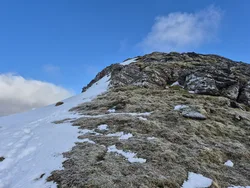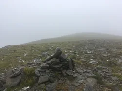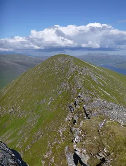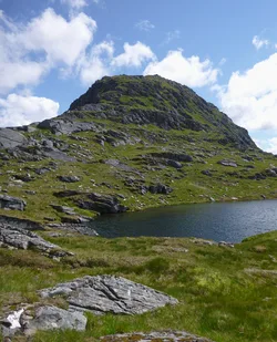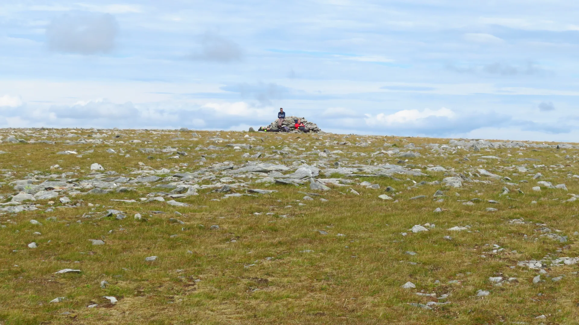


Maoile Lunndaidh is a broad, nearly level plateau at the head of Loch Monar, and its name is usually given as 'bare hill of the wet place', after its boggy lower slopes. Two big corries, Fuar Tholl Mòr and Toll a' Choin, cut into it, and the first holds several small lochans. The top has a large cairn, but a blade of rock 20 m away is fractionally higher. Hugh Munro chose this summit in 1891, though neighbouring Creag Toll a' Choin was listed instead from 1921 to 1981.
New to the Munros?Read our guide: What Are The Munros?Blade of rock 20 m south-west of large cairn
Mossy, stony summit plateau above very boggy lower slopes and steep corries.
Summit Weather
Our Route
No path for 7.5 kmAbout 7.5 km of this route has no path on the map (longest stretch 5.4 km). Expect rough, pathless ground. You will need a map and compass and the skills to use them.
Also on this route: Sgurr a' Chaorachain, Sgurr Choinnich
Safety: Routes are a guide only. Carry a map and compass and know how to use them, check the weather before you go, and turn back if in doubt. You use this route at your own risk.