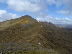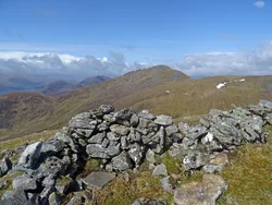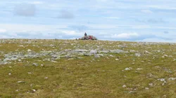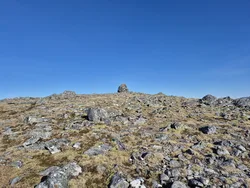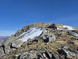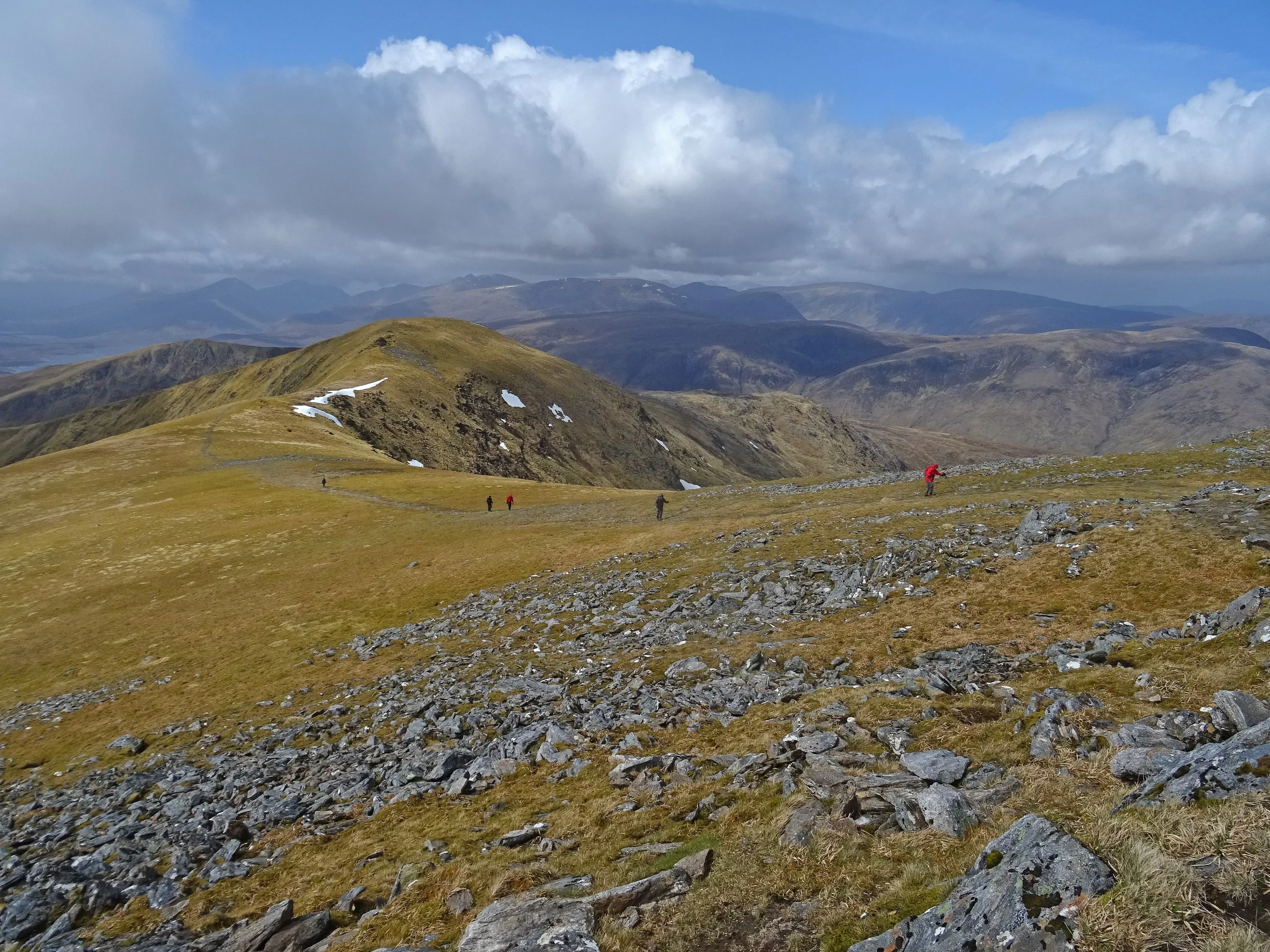

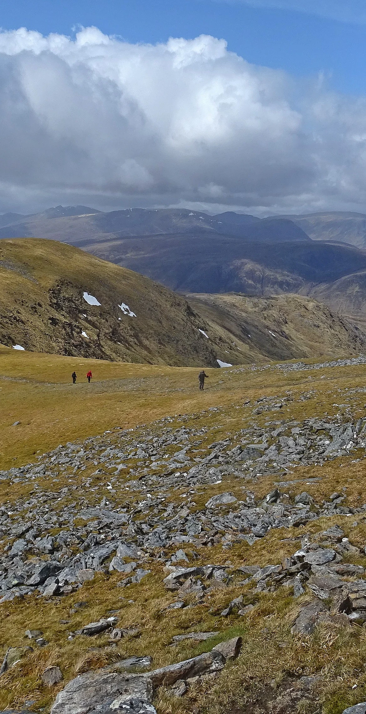


Sgurr Fhuar-thuill is thought to mean 'peak of the cold hollow', and it's one of the hills on the Glen Strathfarrar round, sitting on the old Ross-shire and Inverness-shire border. From the south it looks rounded, but its north face is steep and craggy, with a corrie bitten out on each side of the cairned summit. Cars can only get up the glen through a gate with a keeper, and only at set times of year and day.
New to the Munros?Read our guide: What Are The Munros?Cairn
Rounded, grassy southern slopes and a steep, craggy north face cut by two corries.
HuMPSimm
Summit Weather
Our Route
Also on this route: Sgurr a' Choire Ghlais, Sgurr na Ruaidhe, Carn nan Gobhar (Glen Strathfarrar)
Safety: Routes are a guide only. Carry a map and compass and know how to use them, check the weather before you go, and turn back if in doubt. You use this route at your own risk.