

Hill data: The Database of British and Irish Hills v18.6 (CC BY 4.0)Height993 m3,258 ft
Grid RefNH 289 426
OS Map430OS Explorer
RegionStrathfarrar & Monar
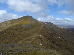
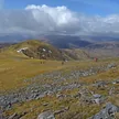
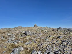
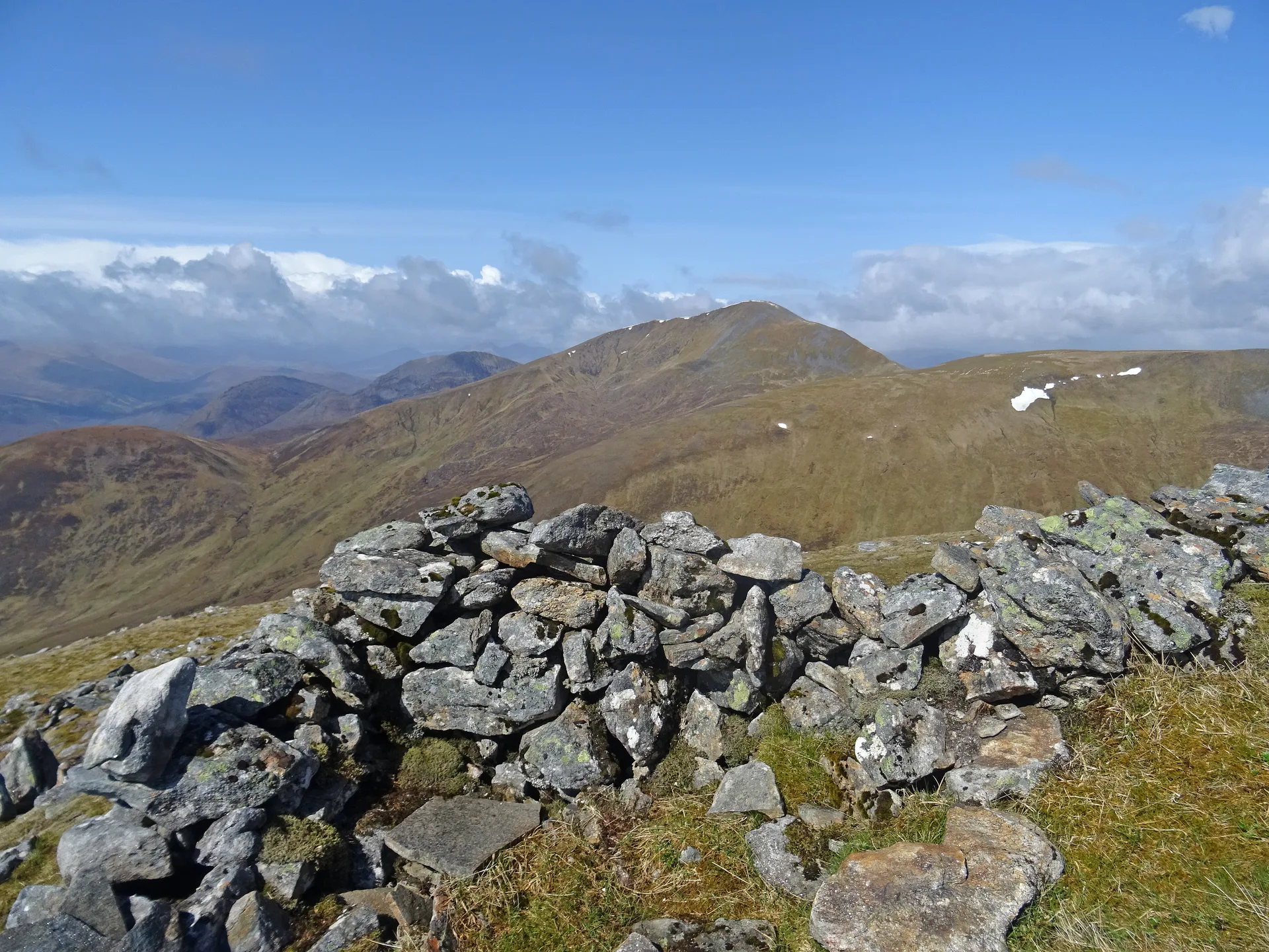
Sgurr na Ruaidhe is the most easterly of the four Strathfarrar Munros, a rounded, grassy hill with ridges running out from the top in several directions and a large cairn at the summit. The name means 'peak of redness'. There's a lot of spongy moss underfoot, and the payoff for the long walk in is the view east over the Beauly and Cromarty Firths.
New to the Munros?Read our guide: What Are The Munros?Summit
Large cairn
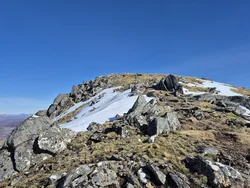
Rock & Ground
Rounded grassy dome with spongy moss underfoot and ridges spreading out from the summit.
Also On These Lists
MarilynSimm
Summit Weather
Our Route
Distance15.6 mi25.2 km
Ascent1,380 m4,530 ft
Time8h 35mwalking
Start & FinishA car parkNH 2239 3919 · circular route
DirectionsAlso on this route: Sgurr a' Choire Ghlais, Sgurr Fhuar-thuill, Carn nan Gobhar (Glen Strathfarrar)
Safety: Routes are a guide only. Carry a map and compass and know how to use them, check the weather before you go, and turn back if in doubt. You use this route at your own risk.