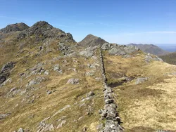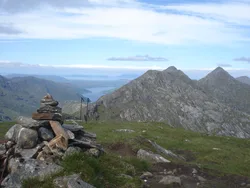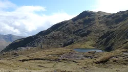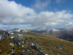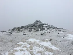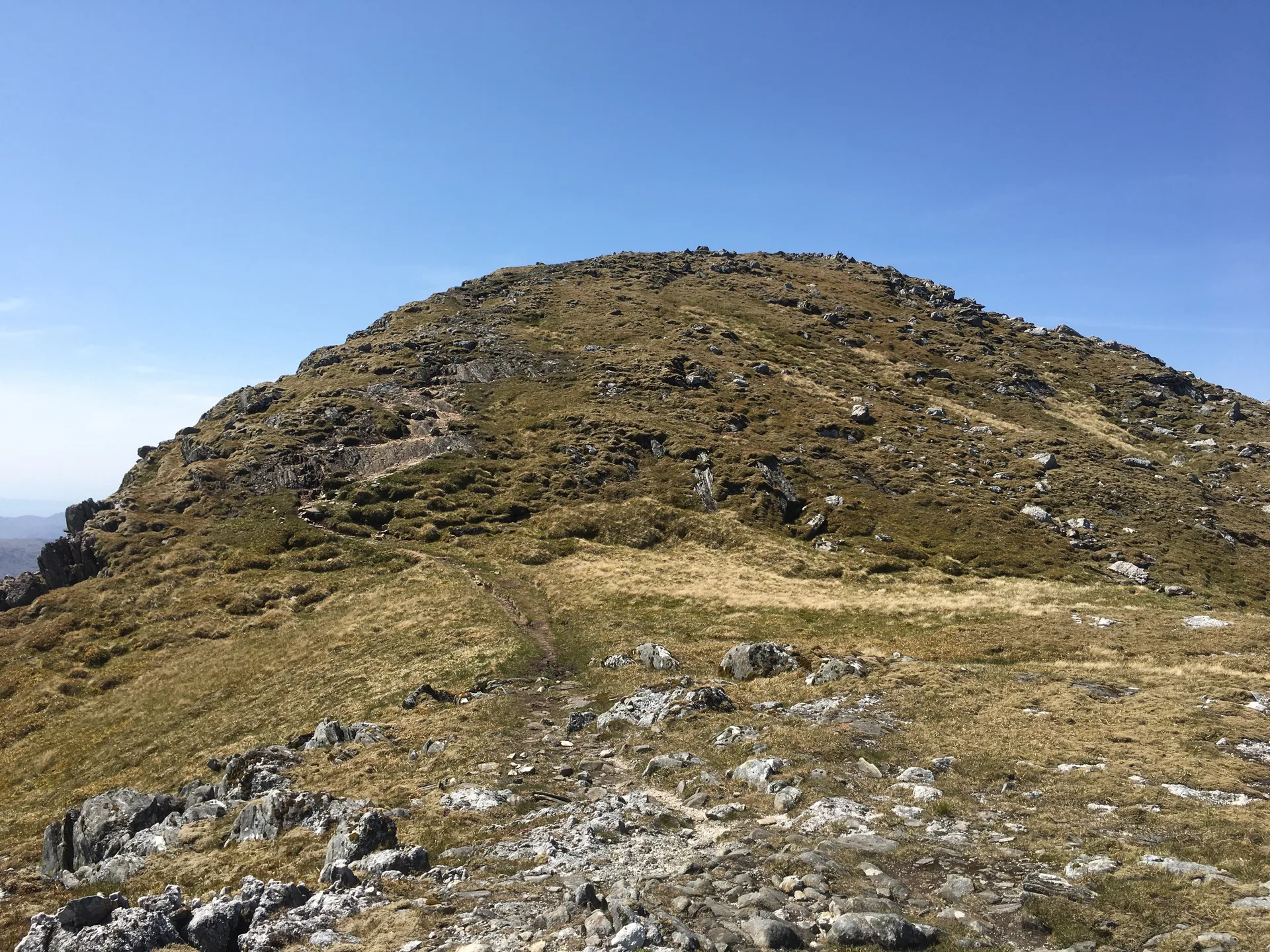


Sgurr na Ciche takes its name from the Gaelic for 'pap', and its pointed cone is easy to pick out from as far away as Ben Nevis and Carn Eige. It stands on the edge of Knoydart in the Rough Bounds, above the head of Loch Nevis, and has been described as the wettest place in the UK. On top, the trig point has been destroyed, and a boulder just north-east of it is the highest point.
New to the Munros?Read our guide: What Are The Munros?Boulder 5 m north-east of destroyed trig point
Distinctive conical summit, usually reached by ridges from Glen Dessarry or the head of Loch Nevis.
MarilynSimm
Summit Weather
Our Route
Also on this route: Garbh Chioch Mhor, Sgurr nan Coireachan (Glen Dessary)
Safety: Routes are a guide only. Carry a map and compass and know how to use them, check the weather before you go, and turn back if in doubt. You use this route at your own risk.