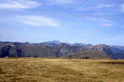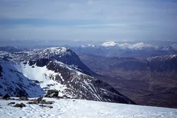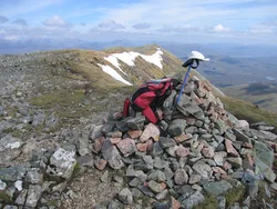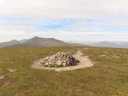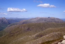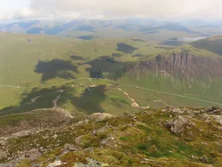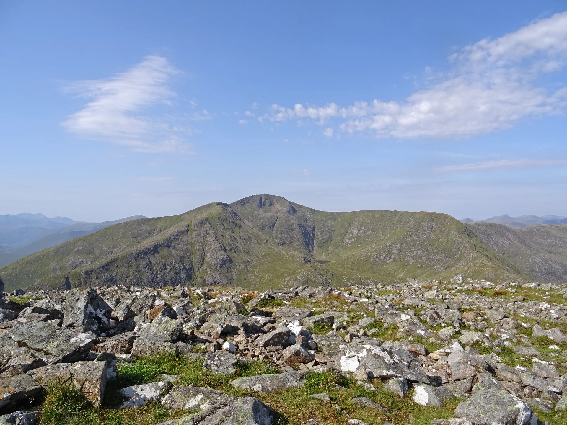


Stob a' Choire Odhair, the 'peak of the dun-coloured corrie', rises from the Black Mount deer forest above the peat hags of Rannoch Moor. Three ridges meet at the cairn, and although it's lower than Stob Ghabhar next door, it's the better viewpoint, looking out across the moor to the Bridge of Orchy hills. Below runs Telford's 1803 road, once the main route to Glen Coe and now part of the West Highland Way.
New to the Munros?Read our guide: What Are The Munros?Cairn
Three ridges meeting at the top, with a very steep north-east ridge above peaty moorland.
MarilynSimm
Summit Weather
Our Route
No path for 1.8 kmAbout 1.8 km of this route has no path on the map (longest stretch 1.8 km). Expect rough, pathless ground. You will need a map and compass and the skills to use them.
Also on this route: Stob Ghabhar
Safety: Routes are a guide only. Carry a map and compass and know how to use them, check the weather before you go, and turn back if in doubt. You use this route at your own risk.