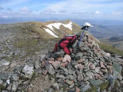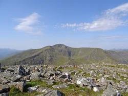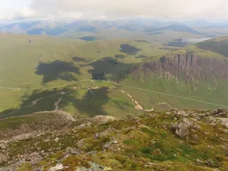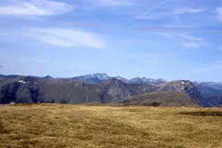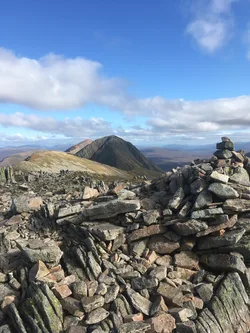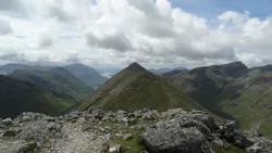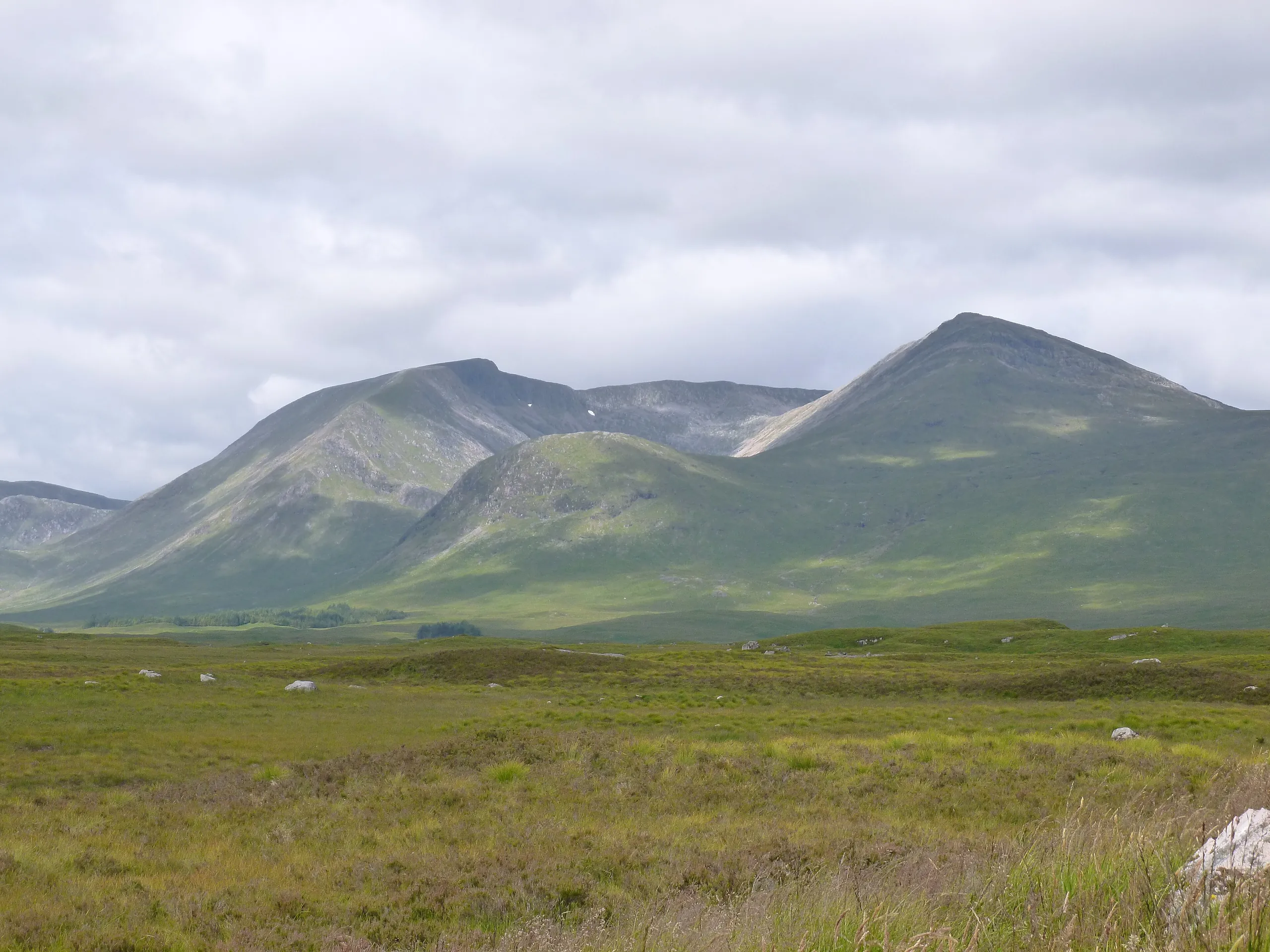

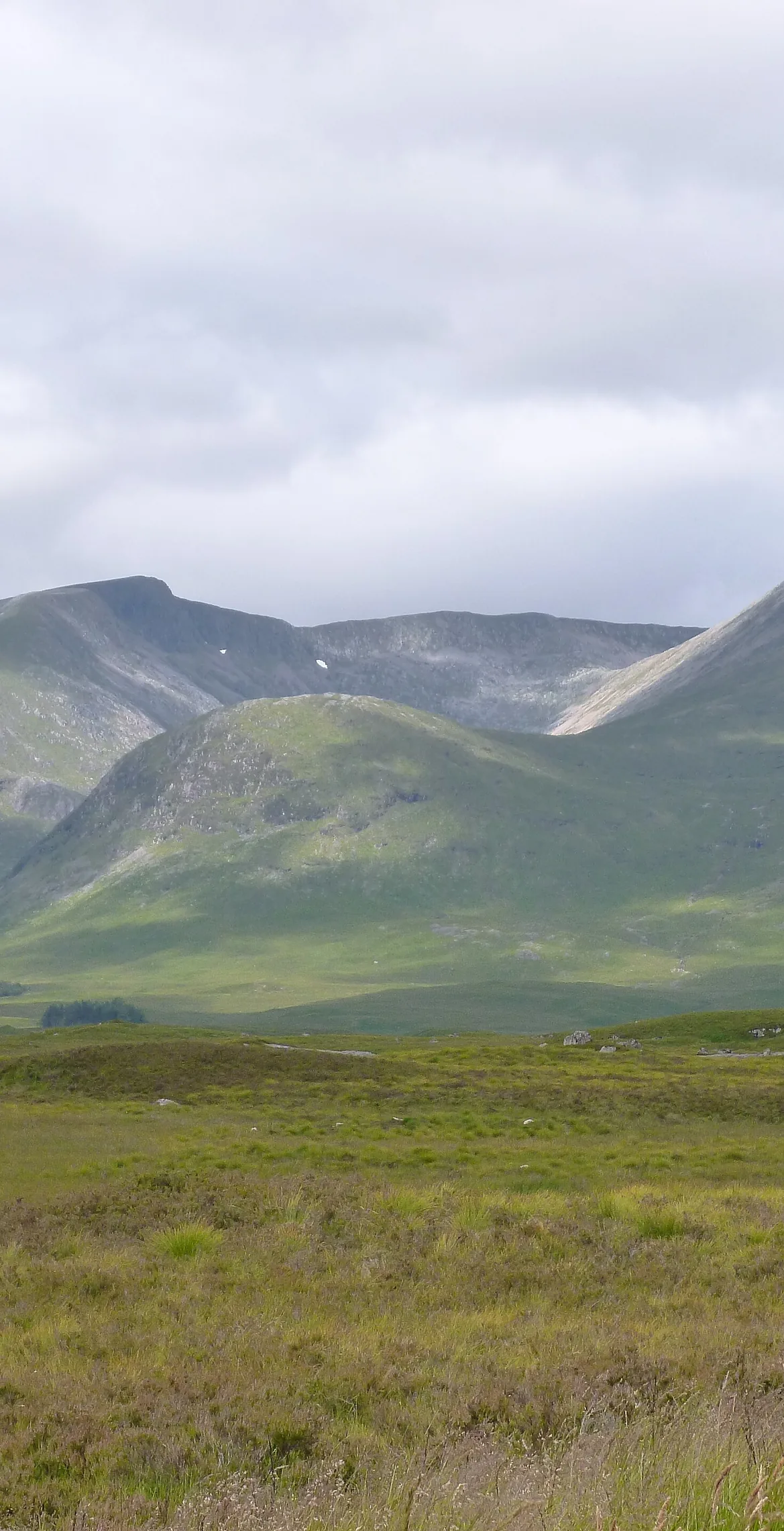


Meall a' Bhùiridh is translated as 'hill of the bellowing' or 'hill of the rutting stags'. It stands at the eastern end of Glen Coe on the edge of Rannoch Moor, looking down on the Kings House Hotel and the A82, and with Creise it forms a horseshoe ridge. Corrie Pollach on its north-east side is home to Glencoe Mountain, one of Scotland's oldest ski areas. The highest point is a rock outcrop a few metres from the cairn.
New to the Munros?Read our guide: What Are The Munros?Outcrop 4 m south-west of cairn
Rocky summit outcrop above a north-east corrie laced with ski tows, joined to Creise by a high bealach.
MarilynSimm
Summit Weather
Our Route
Also on this route: Creise
Safety: Routes are a guide only. Carry a map and compass and know how to use them, check the weather before you go, and turn back if in doubt. You use this route at your own risk.