


Hill data: The Database of British and Irish Hills v18.6 (CC BY 4.0)Height1,044.9 m3,428 ft
Grid RefNN 169 443
OS Map377OS Explorer
RegionGlen Coe & Glen Etive
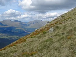
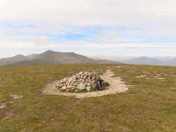
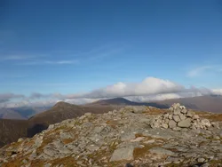
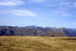
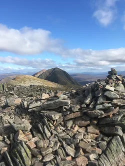
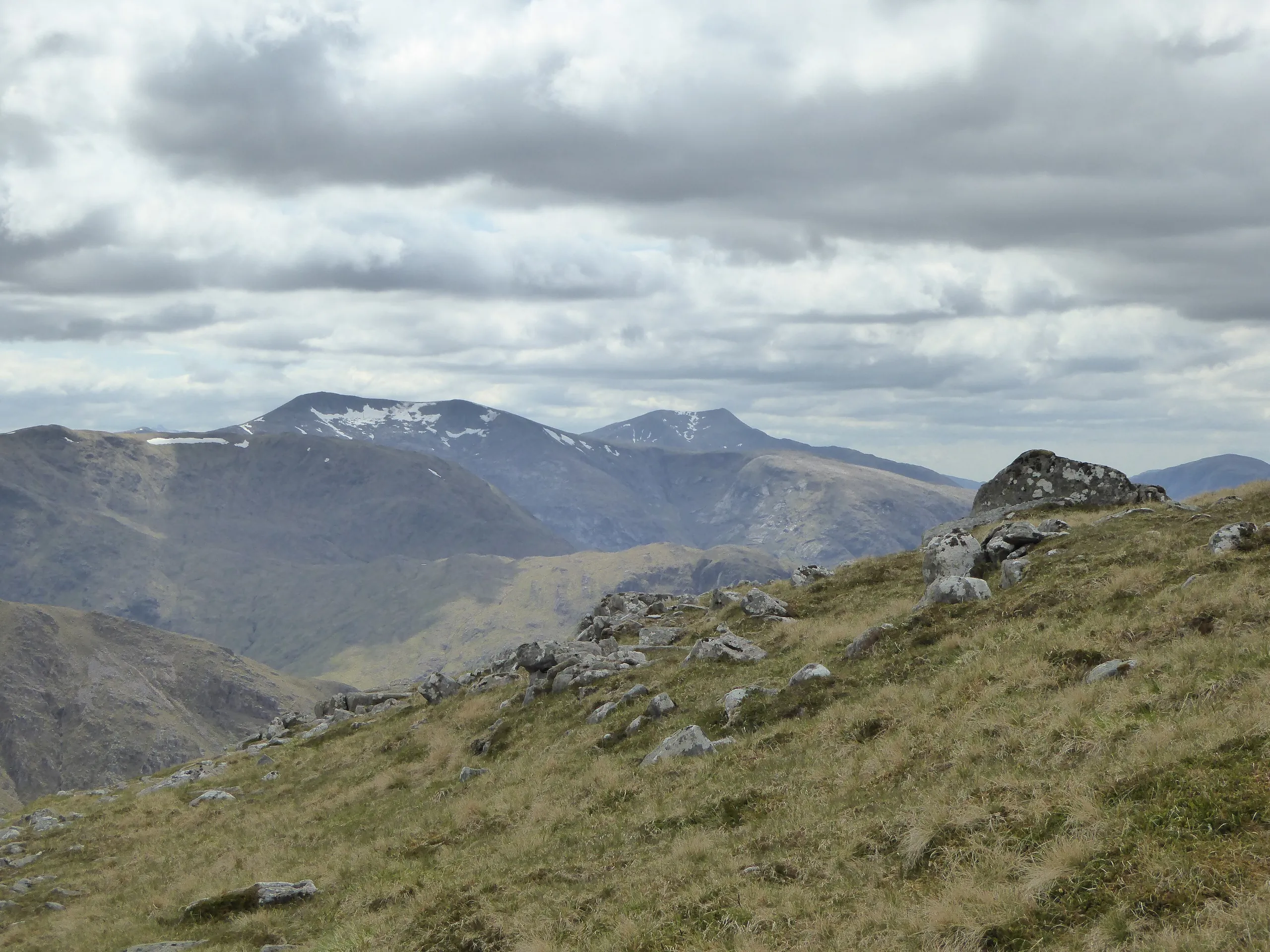
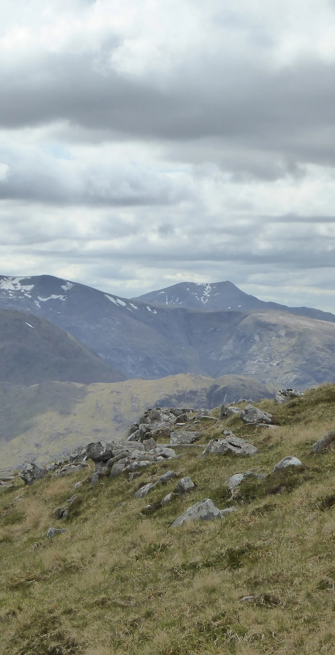
Stob Coir' an Albannaich means 'peak of the corrie of the Scotsman', and it rises east of Loch Etive on the Highland and Argyll border. From Glen Etive, wide grassy slopes climb out of birch woods, and the pointed top stays hidden until late on. The flat-topped summit cairn sits above a steep drop and is said to be a relic of early Ordnance Survey triangulation work.
New to the Munros?Read our guide: What Are The Munros?Summit
Flat-topped cairn
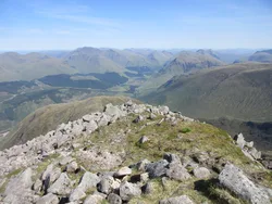
Rock & Ground
Broad grassy western slopes, with rocky buttresses, spurs and corries to the east and north.
Also On These Lists
MarilynSimm
Summit Weather
Our Route
Distance10.5 mi16.9 km
Ascent1,470 m4,820 ft
Time6h 40mwalking
Start & FinishA car parkNN 1363 4680 · circular route
DirectionsAlso on this route: Ben Starav, Glas Bheinn Mhor
Safety: Routes are a guide only. Carry a map and compass and know how to use them, check the weather before you go, and turn back if in doubt. You use this route at your own risk.