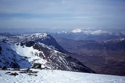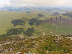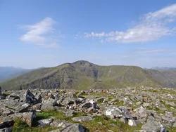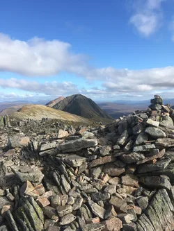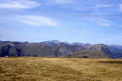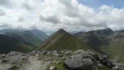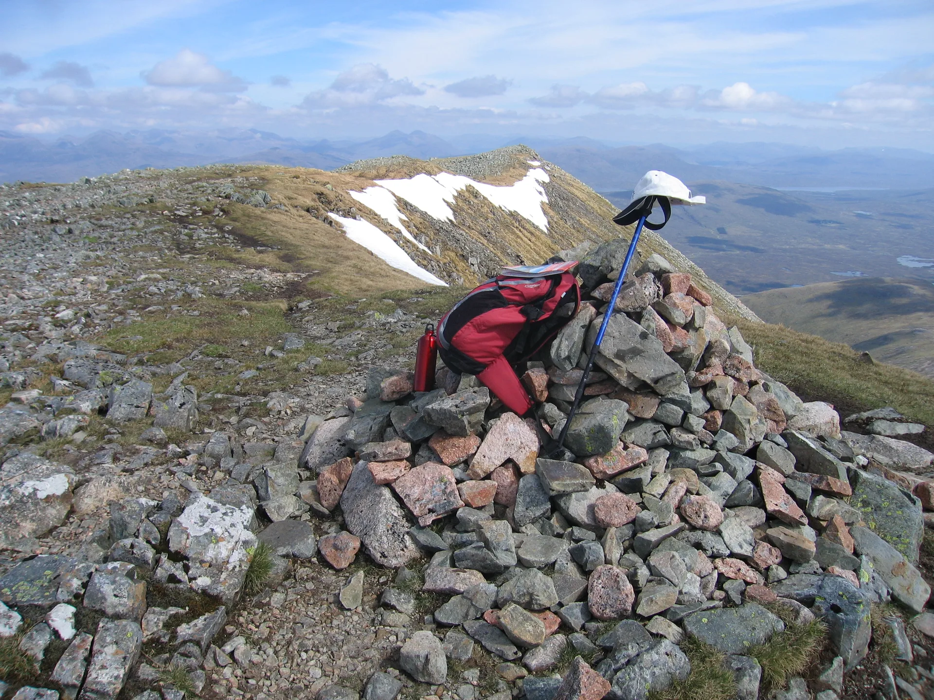


Creise is a long, flattish whaleback ridge above the head of Glen Etive, and its highest point had no name of its own until 1981. Before then the southern top, Clach Leathad, was thought to be the summit. Nobody is sure what the name means, though one suggestion links it to 'grease', after rich grazing where Glen Coe herdsmen fattened cattle. From the cairn you look straight across at the cliffs of Buachaille Etive Mòr and out over Rannoch Moor.
New to the Munros?Read our guide: What Are The Munros?Small rock 3 m from cairn
Broad, grassy whaleback ridge ending in the steep, craggy buttress of Sròn na Crèise.
MarilynSimm
Summit Weather
Our Route
Also on this route: Meall a' Bhuiridh
Safety: Routes are a guide only. Carry a map and compass and know how to use them, check the weather before you go, and turn back if in doubt. You use this route at your own risk.