

Hill data: The Database of British and Irish Hills v18.6 (CC BY 4.0)Height1,053.7 m3,457 ft
Grid RefNH 194 282
OS Map415OS Explorer
RegionKintail & Glen Affric
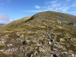
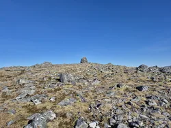
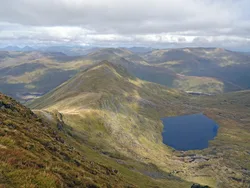
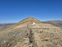
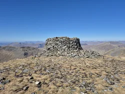
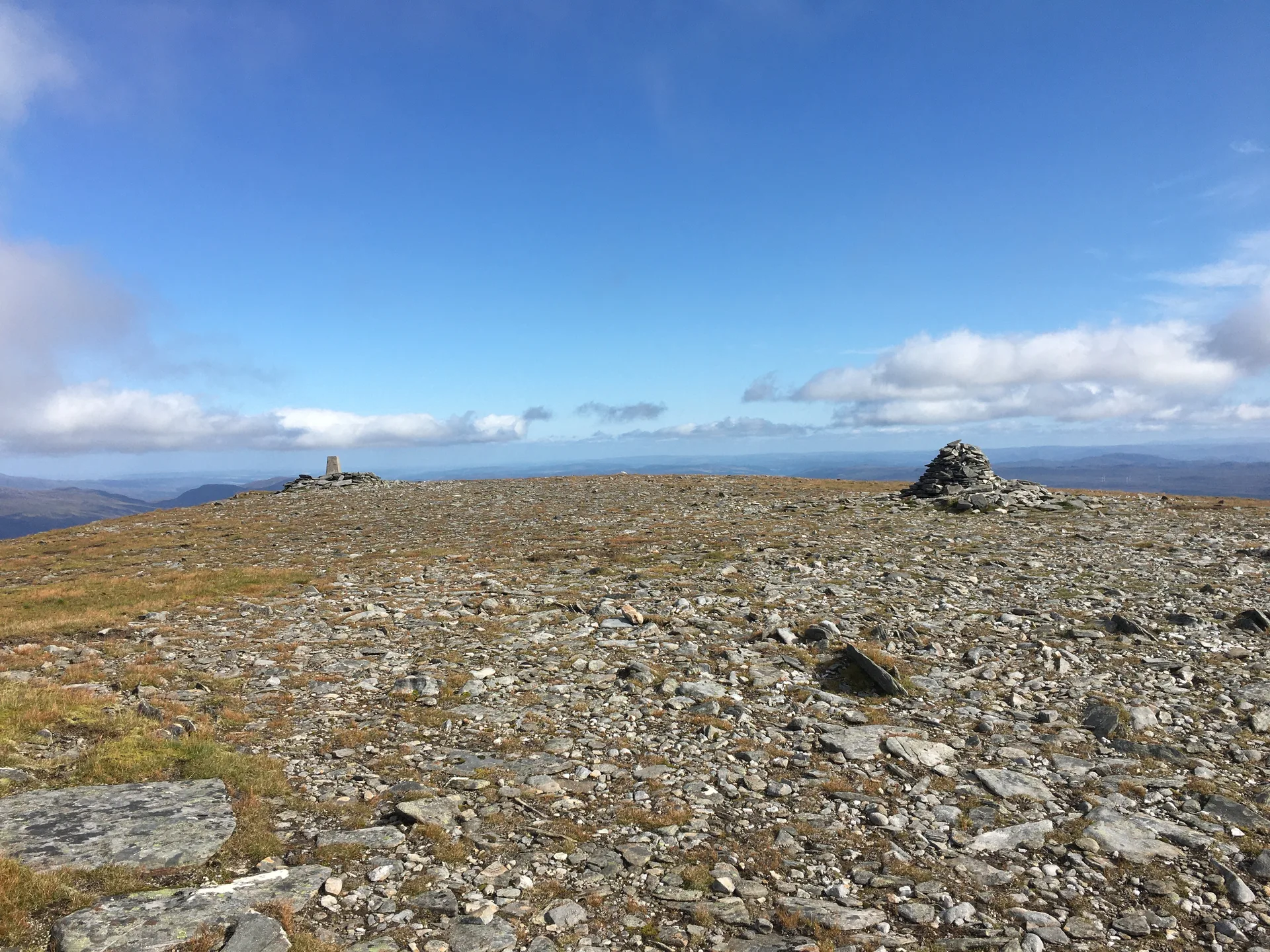
Toll Creagach is the most easterly of the Glen Affric Munros, a domed hill whose name means 'rocky hollow'. Its top is a small puzzle: a rock about 20 metres west of the cairn is the highest point, the cairn comes next, and the trig point just to the north-east is a little lower than both. A broad, grassy shoulder runs west, and steep slopes fall away towards Gleann nam Fiadh.
New to the Munros?Read our guide: What Are The Munros?Summit
Rock 20 m west of cairn
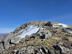
Rock & Ground
Grassy dome with corries on its flanks and a broad grassy shoulder to the west.
Also On These Lists
MarilynSimm
Summit Weather
Our Route
Distance11.3 mi18.2 km
Ascent850 m2,790 ft
Time6hwalking
Start & FinishChisholm Bridge car parkNH 2169 2430 · circular route
DirectionsSafety: Routes are a guide only. Carry a map and compass and know how to use them, check the weather before you go, and turn back if in doubt. You use this route at your own risk.