

Hill data: The Database of British and Irish Hills v18.6 (CC BY 4.0)Height1,112.7 m3,651 ft
Grid RefNH 164 273
OS Map415OS Explorer
RegionKintail & Glen Affric
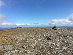
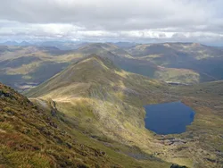
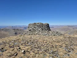
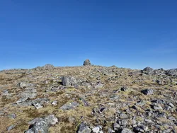
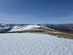
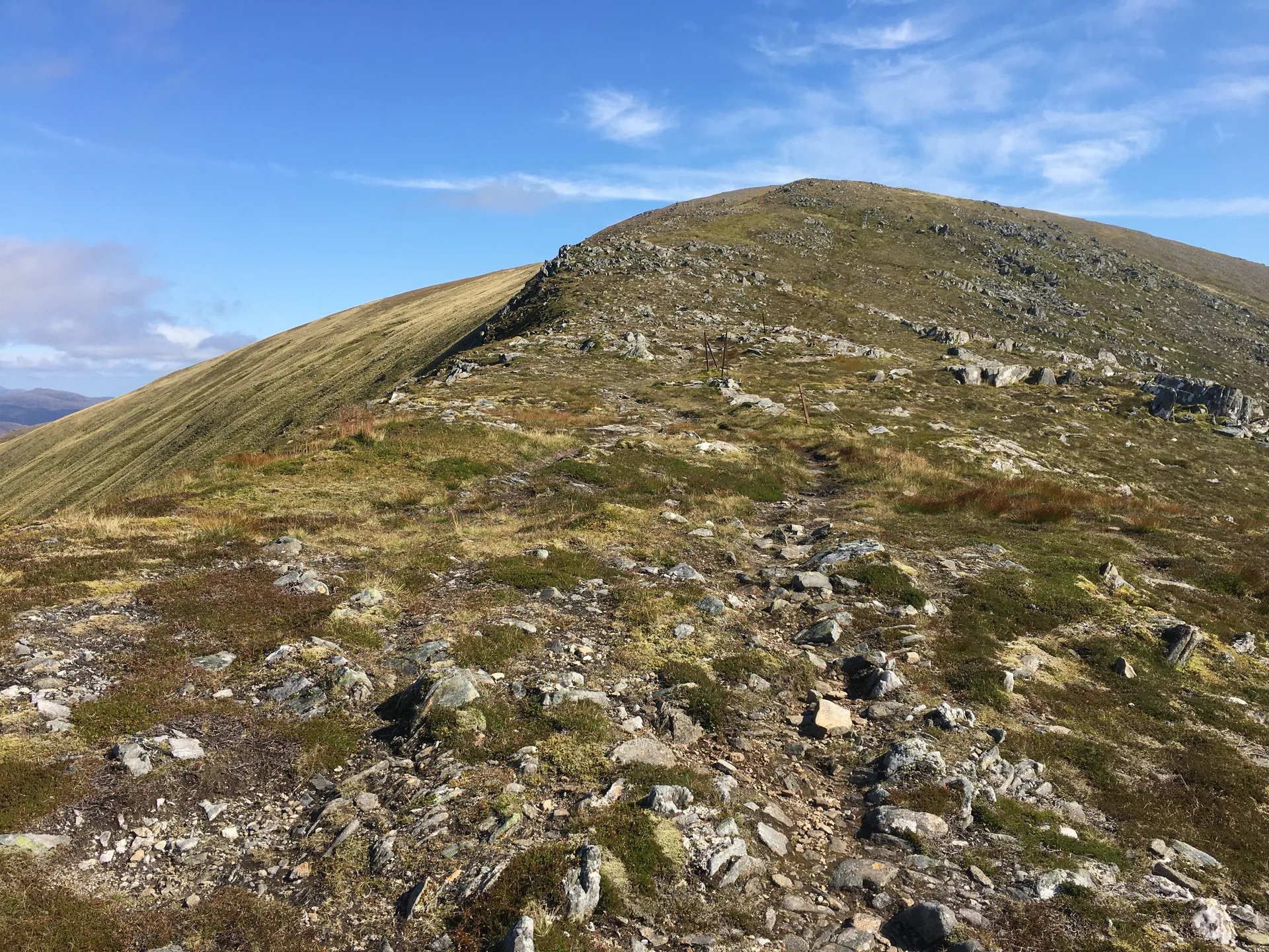
Tom a' Chòinich, the 'mossy hillock', sits between Glen Affric and Loch Mullardoch, about 4 km east of Càrn Eige, and a large cairn marks its top. The usual approach from Glen Affric crosses the Bealach Toll Easa. This was once the way between Affric Lodge and Benula Lodge, before Benula was drowned by the Loch Mullardoch reservoir.
New to the Munros?Read our guide: What Are The Munros?Summit
Large cairn
Rock & Ground
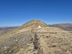
Large cairn on the summit, with a south-east ridge that turns rocky lower down.
Also On These Lists
HuMPSimm
Summit Weather
Our Route
Distance19.1 mi30.7 km
Ascent1,660 m5,450 ft
Time10h 25mwalking
Start & FinishRiver Affric car parkNH 2011 2331 · circular route
DirectionsAlso on this route: Carn Eighe, Mam Sodhail, Beinn Fhionnlaidh (Glen Affric)
Safety: Routes are a guide only. Carry a map and compass and know how to use them, check the weather before you go, and turn back if in doubt. You use this route at your own risk.