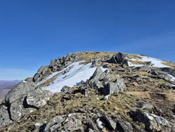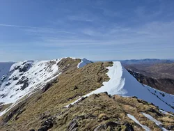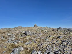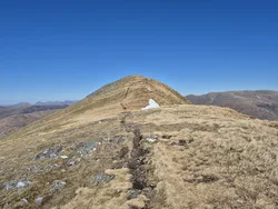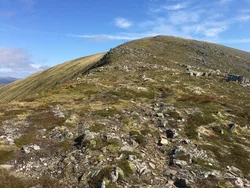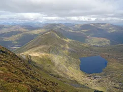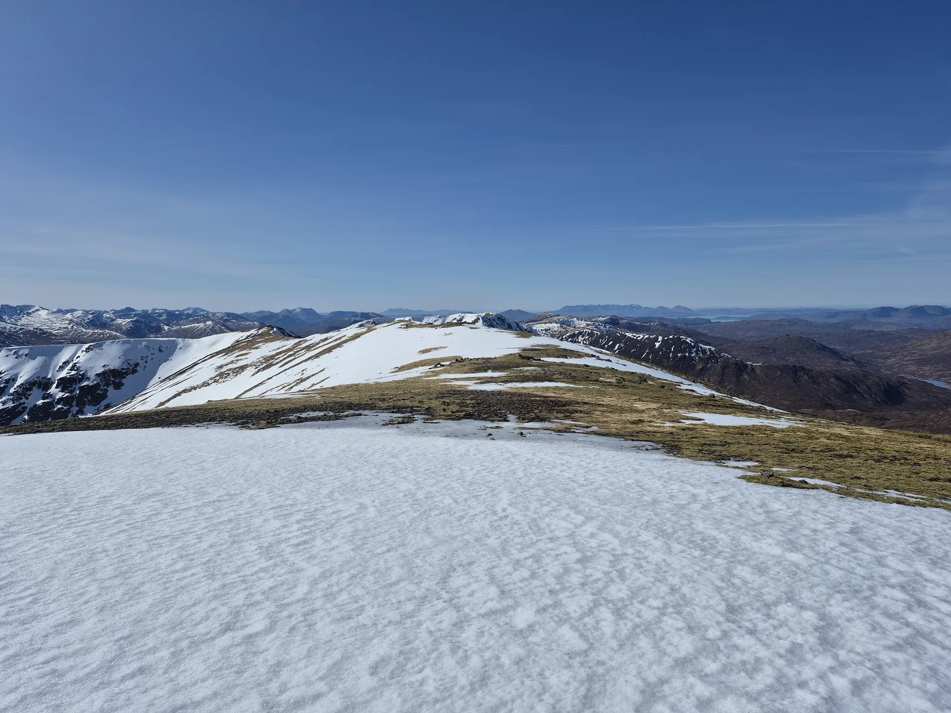


An Riabhachan stands at the western end of Loch Mullardoch, about 10 km from the nearest public road, and its summit ridge stays above 1,000 m for some 2.5 km. The name means 'the brindled one', thought to describe the speckled look of its stony turf. A large cairn marks the top. Most of the hill is grass, and the only real crags drop into Coire Gnada in the north-east, where two lochs sit in the corrie floor.
New to the Munros?Read our guide: What Are The Munros?Large cairn
Mainly grassy, with stone-studded turf on the long ridge and crags only above Coire Gnada.
MarilynSimm
Summit Weather
Our Route
No path for 13.4 kmAbout 13.4 km of this route has no path on the map (longest stretch 2.7 km). Expect rough, pathless ground. You will need a map and compass and the skills to use them.
Also on this route: Sgurr na Lapaich, An Socach (Loch Mullardoch), Carn nan Gobhar (Loch Mullardoch)
Safety: Routes are a guide only. Carry a map and compass and know how to use them, check the weather before you go, and turn back if in doubt. You use this route at your own risk.