


Hill data: The Database of British and Irish Hills v18.6 (CC BY 4.0)Height506 m1,660 ft
Grid RefSJ 976 695
OS MapOL24OS Explorer
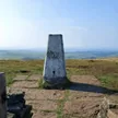
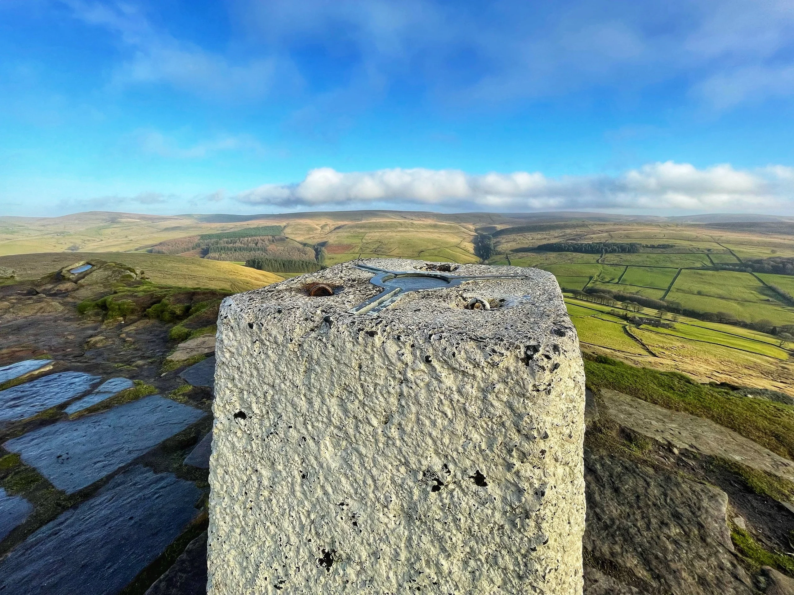
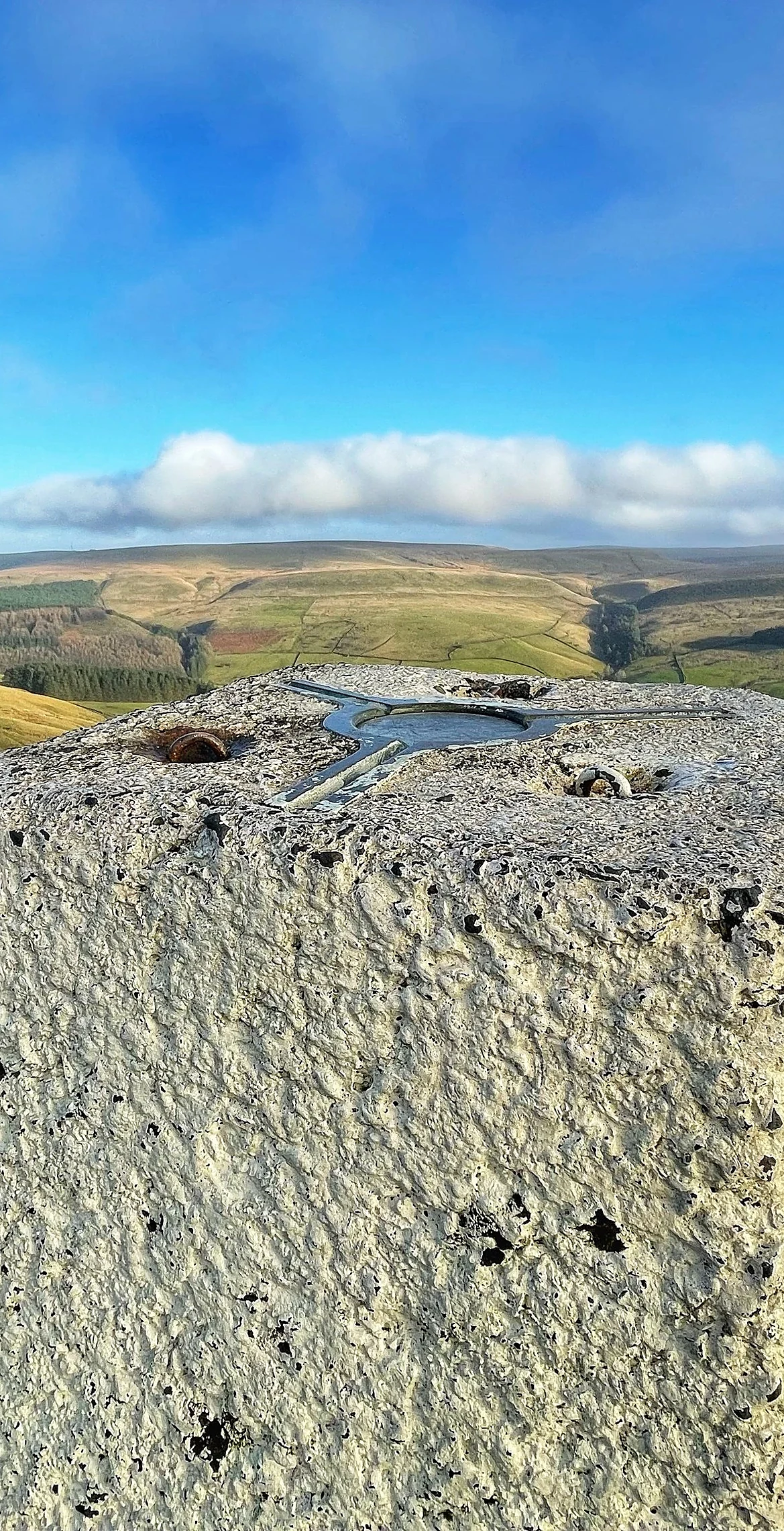
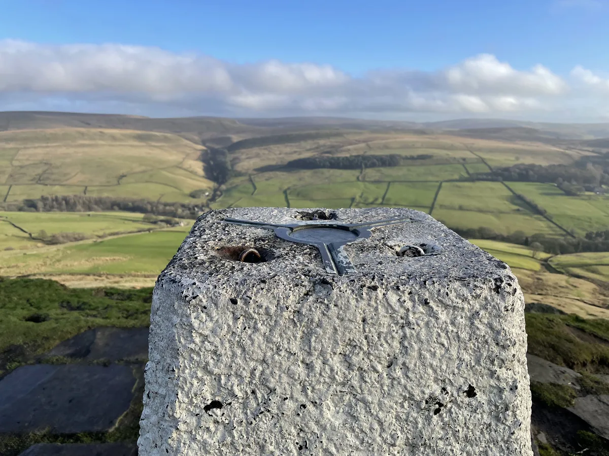
Often called the Matterhorn of Cheshire, Shutlingsloe has a steep, pointed profile that stands out from miles around. The name comes from the Old English for 'Scyttel's hill'. A plaque is set into the summit rock beside the trig point, and the top is the highest point on the Peak District Boundary Walk, with wide views over Cheshire and Macclesfield Forest.
New to the Ethels?Read our guide: What Are The Peak District Ethels?Summit
Rock with plaque
Rock & Ground
Chatsworth Grit summit tor over layers of mudstone and Roaches Grit, crossed by faults.
Also On These Lists
DeweyHuMP
Summit Weather
Our Route
Distance7.4 mi12.0 km
Ascent450 m1,480 ft
Time3h 45mwalking
Start & FinishSJ 9616 7114Circular route, back to the same spot
DirectionsSafety: Routes are a guide only. Carry a map and compass and know how to use them, check the weather before you go, and turn back if in doubt. You use this route at your own risk.