



Contents
Overview
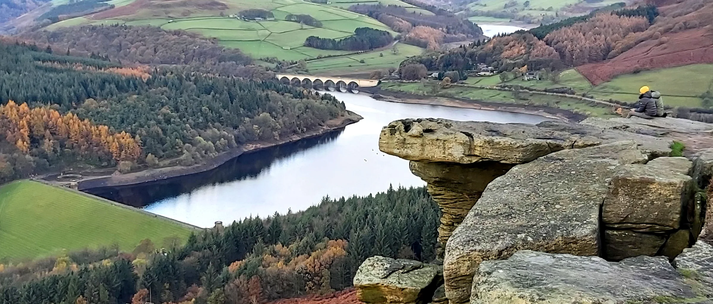
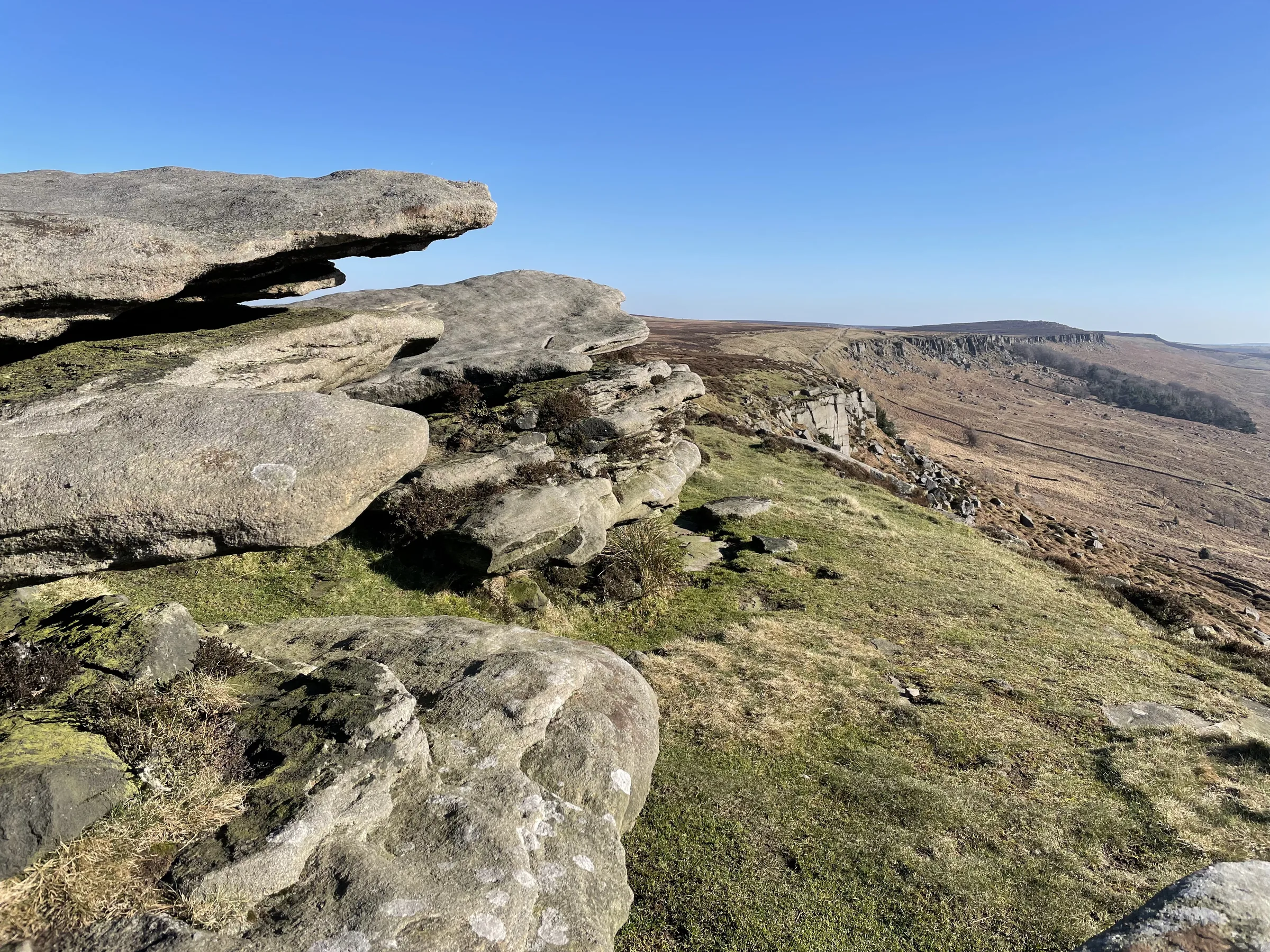
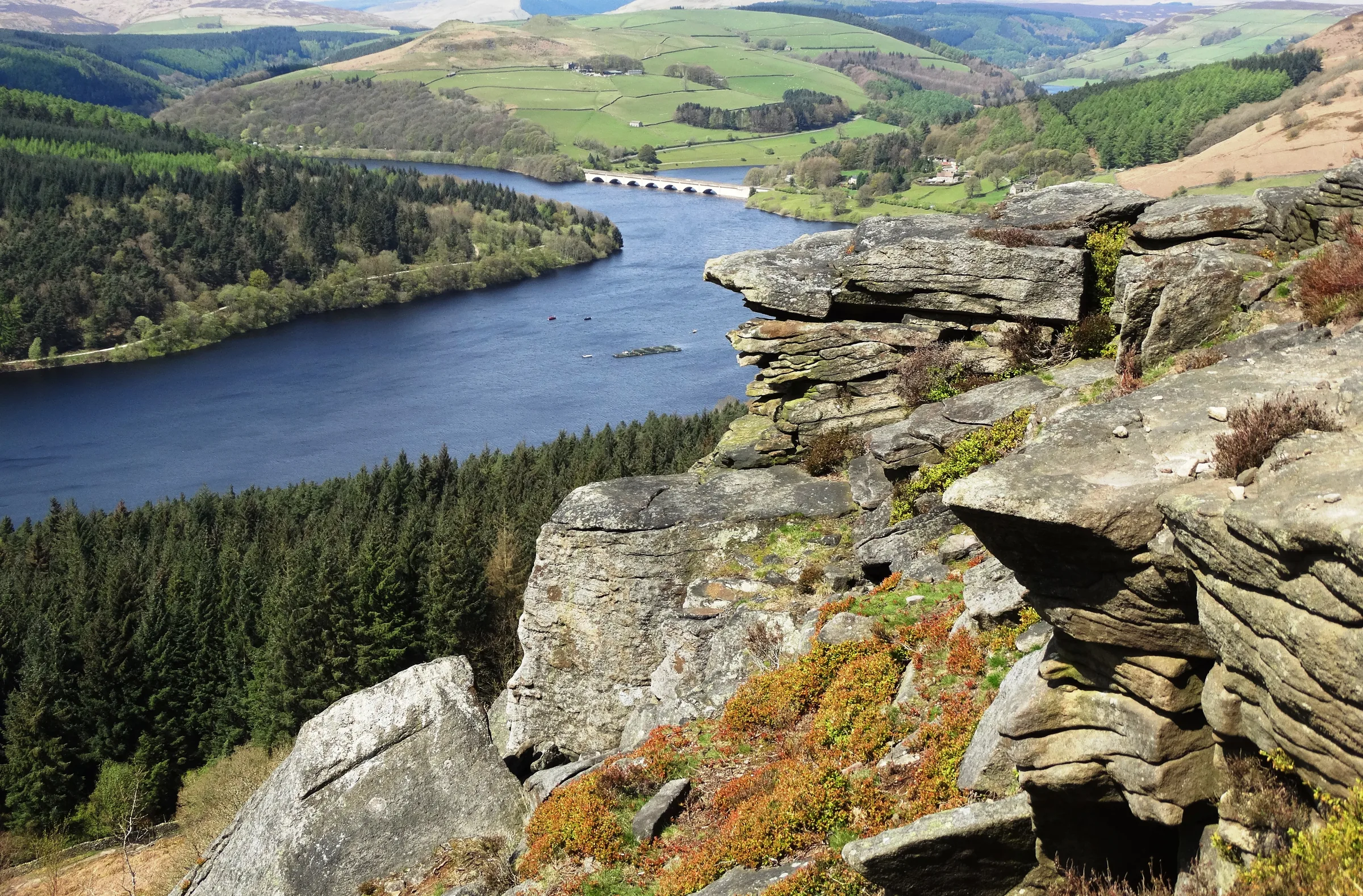
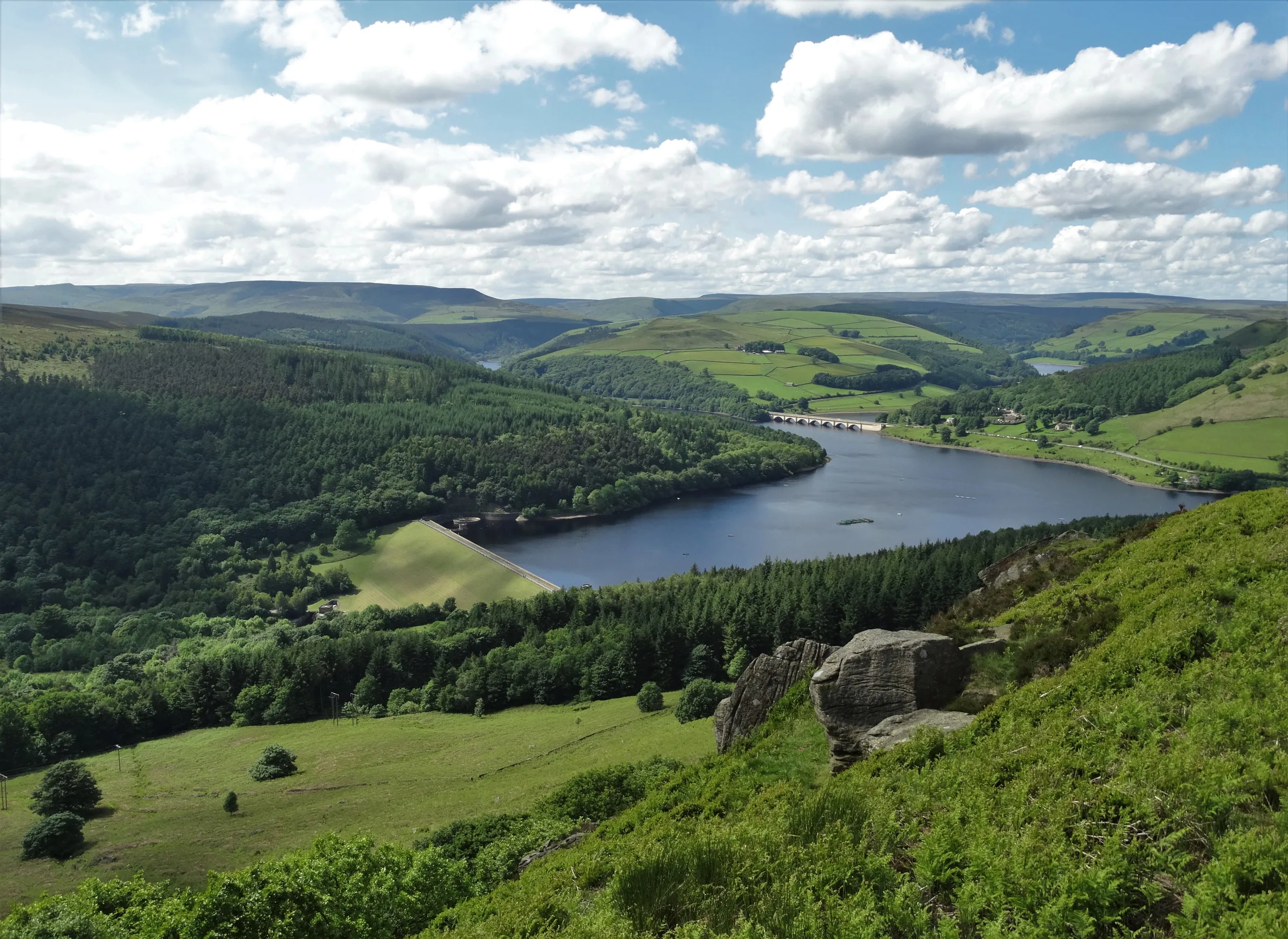
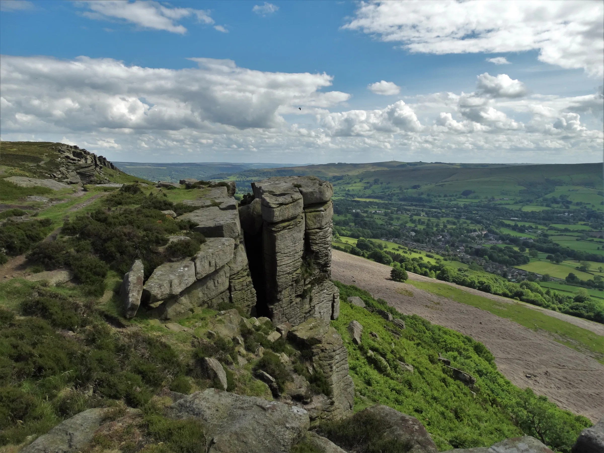
Stanage means "stone edge", and the name fits. A wall of bare gritstone runs for three miles along the moor north of Hathersage. At only about 25m high it is small as cliffs go, yet it is one of the most famous climbing crags in Britain, and its highest point, High Neb, stands at 458m with Kinder and Bleaklow on the skyline to the west. About a mile and a half further west, the smaller and quieter Bamford Edge looks straight down on Ladybower Reservoir and across almost the whole of the Hope Valley.
This loop starts at Dennis Knoll and climbs the Long Causeway, an old packhorse road, before cutting back onto the top of Stanage Edge. You head north-west along the edge to the trig point on High Neb and carry on north for about another mile, then leave the edge and drop west over rough moorland to Jarvis Clough, the lowest point of the walk. From there you climb south-west across Bamford Moor, past an old sighting pillar for the Rivelin water tunnel, to Bamford Edge. You follow it south-east above Ladybower and finish with about a mile on the quiet lane back to the start. This walk takes in one of the Peak District's Ethels: High Neb. Find all 95 on our Ethels map.
Go prepared, stay safe,
and enjoy the hike!
Key Info
Crowds
Moderate
Stanage is one of the best known edges in the country, with well over a thousand climbing routes, so expect climbers as well as walkers. The car parks often fill early in the day at weekends and in the main holidays. Bamford Edge is a well known sunset spot, so it can draw people in the evening.
When it gets busy
- Weekends and the main holidays, when the car parks can fill early in the day
- Mid-morning onwards on busy days, when the car parks get pretty full
- Climbers on the rocks, as the edge has well over a thousand routes
- Bamford Edge at sunset, a well known spot for sunset watchers
For a quieter walk
- Arrive early: the small Dennis Knoll car park has only a handful of spaces
- Go on a weekday rather than a weekend or holiday
- Like most popular edges, it is usually quieter on weekday mornings and in the evening
- Take the 272 bus to Hathersage and walk up, though it is a steep climb of about two miles
- If you park by the road, never block the lane
Our crowd rating is for a typical sunny weekend in spring or summer, in the middle of the day. Timing makes a big difference, so even a busy walk can be quiet early, late or midweek.
The Route
Disclaimer: Route information and GPX files are provided for general guidance only. Conditions can change, so always use your own judgement and navigate responsibly. See our Terms of Use & Disclaimer for more information.
Route Guide
- 1
Up the Long Causeway0.8 mi · 110m upFrom Dennis Knoll car park, head north up the Long Causeway, a wide stony track. It climbs steadily below the edge, then steepens. After about two thirds of a mile, take the path that cuts back sharply left onto the top of Stanage Edge.
- 2
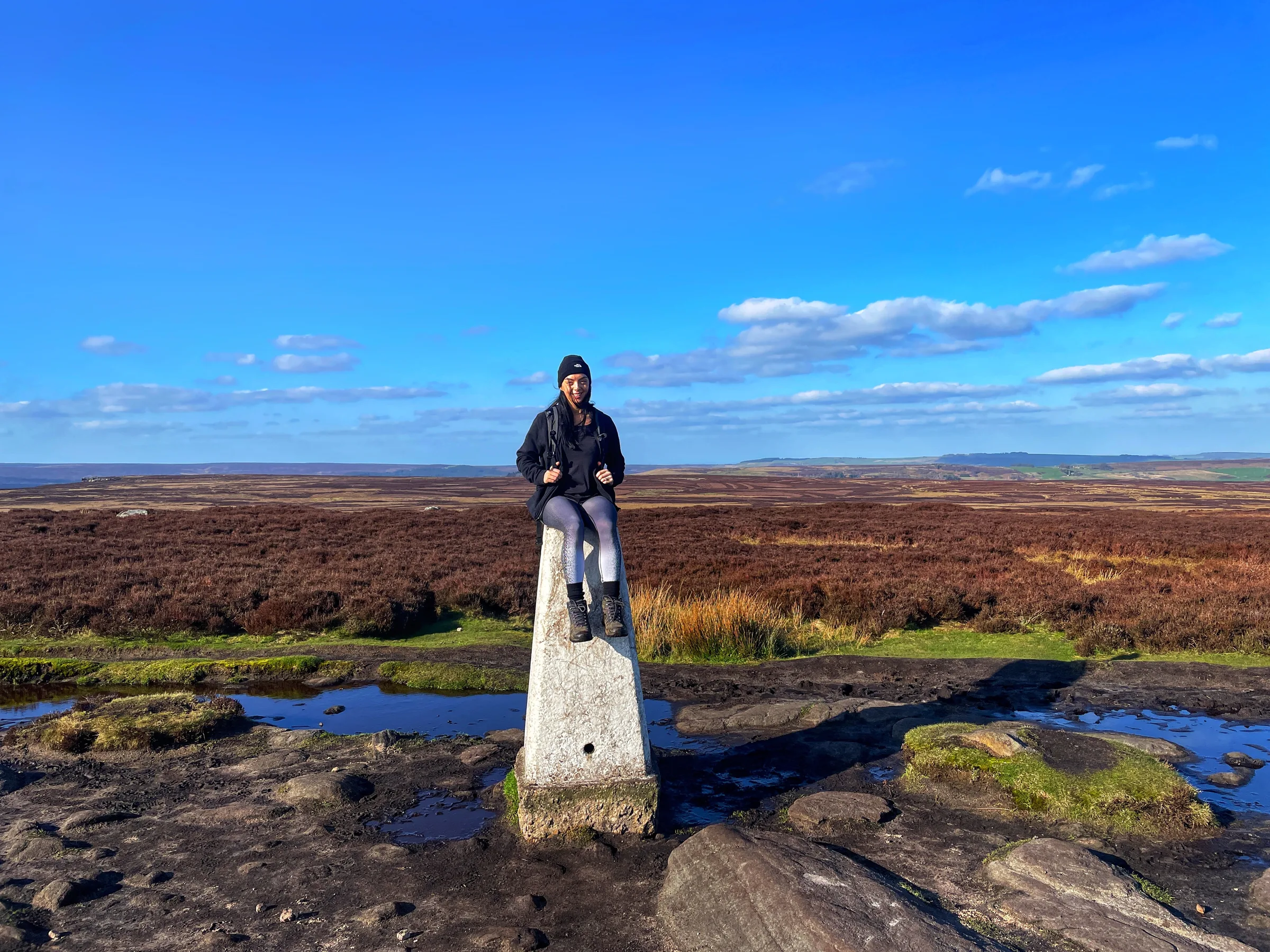
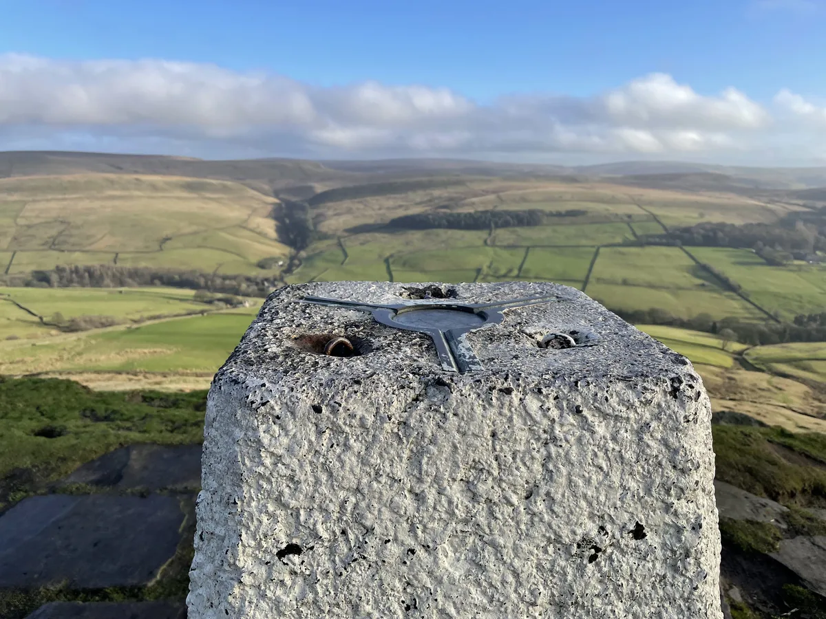
Along to High Neb0.2 mi · 10m upTurn north-west along the top of the edge to the trig point on High Neb. At 458m this is the highest point of the walk, with the moors rolling away to Kinder and Bleaklow in the west.
- 3
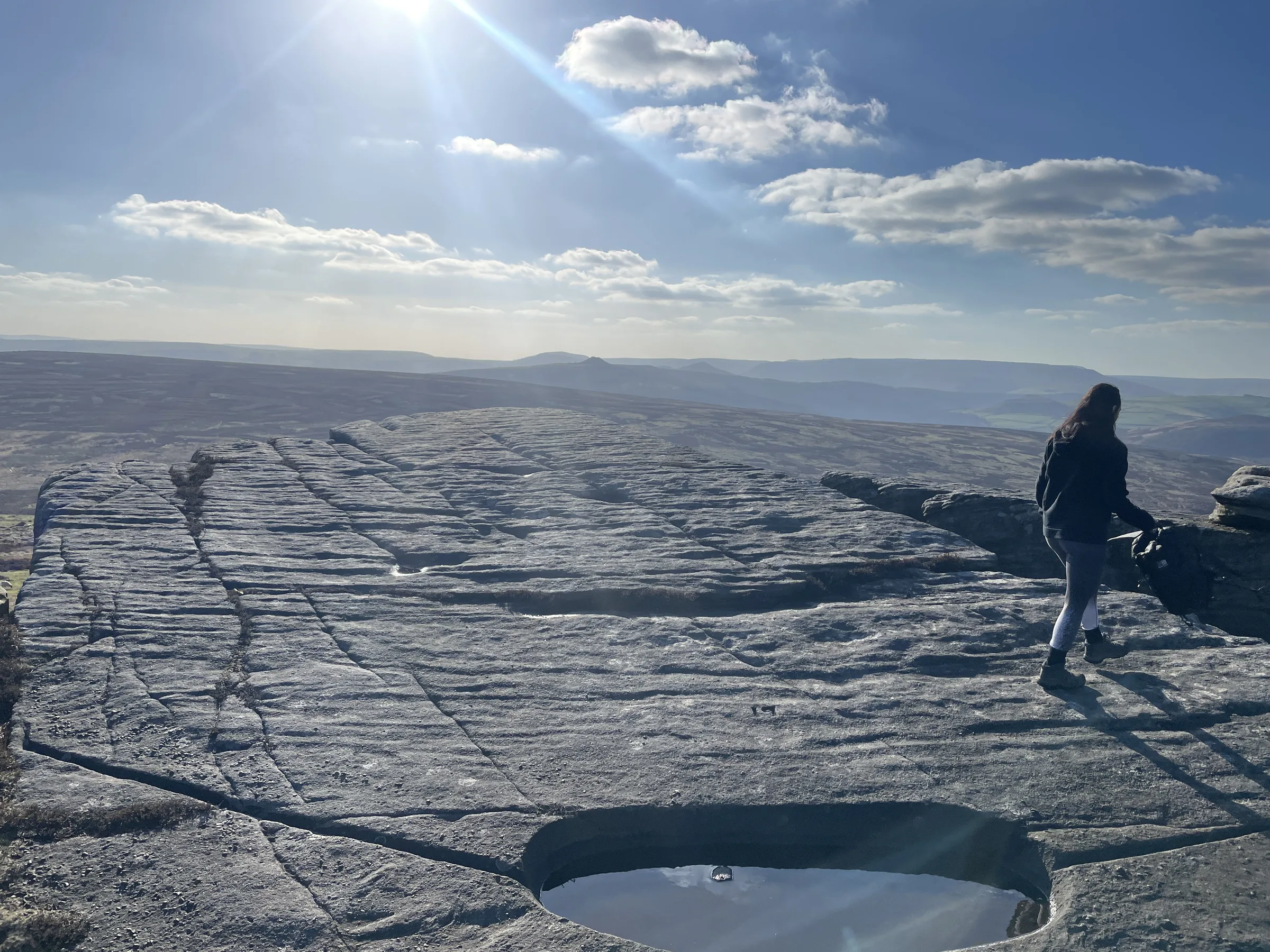
North Along the Edge1.0 mi · 15m up · 25m downKeep north on the edge path, which stays fairly level at around 440m. Look out for the small numbered basins cut into the rocks for the grouse, and for the low heap of stones by the path that is all that is left of the Rivelin tunnel's sighting tower. Just before the 2 mile mark, leave the edge and turn back south-west.
- 4
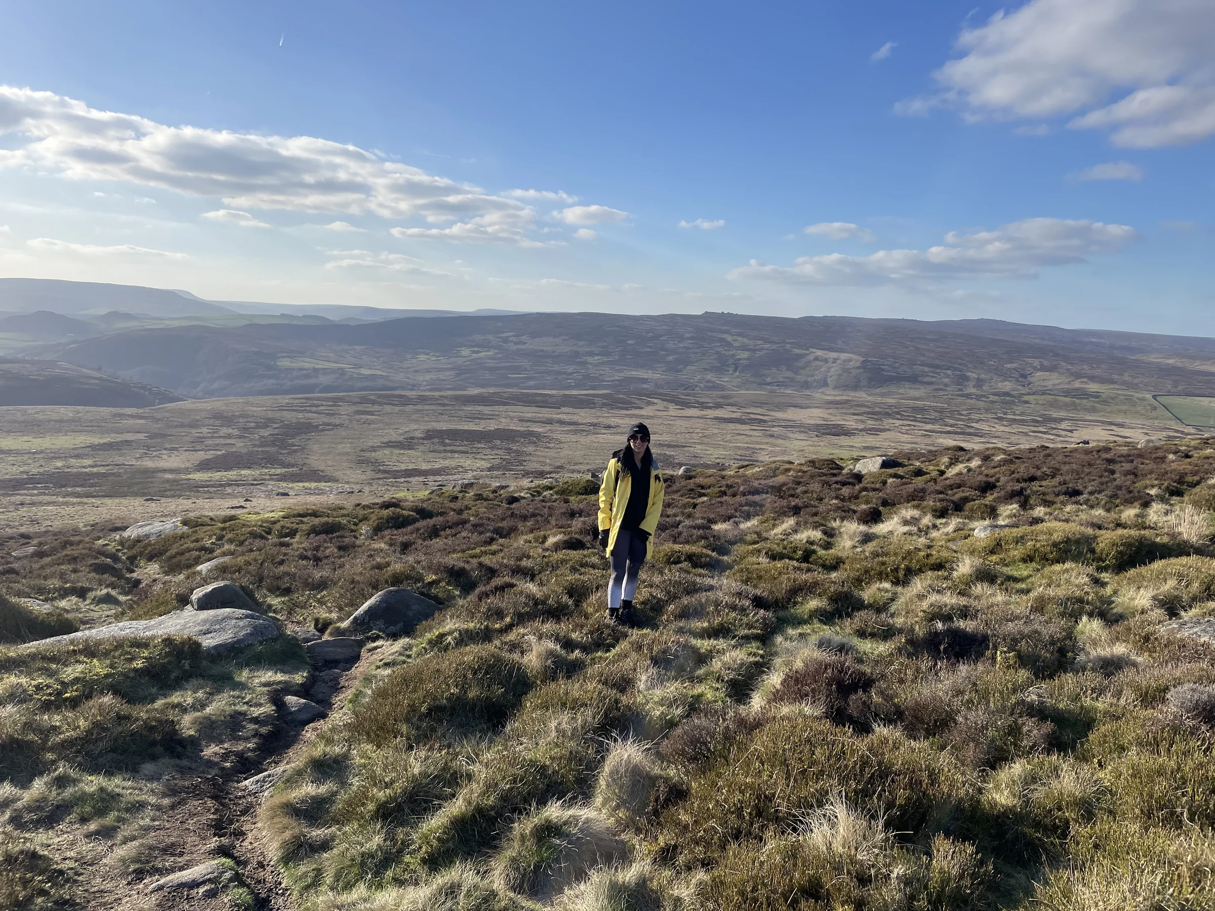
Down to Jarvis Clough1.2 mi · 5m up · 170m downHead west, downhill, across open moorland. The ground is rough, with boulders and some wet patches, and you lose about 170m on the way down to the stream in Jarvis Clough, the lowest point of the walk at around 270m.
- 5
Over Bamford Moor1.2 mi · 125m up · 5m downClimb south-west from the clough, then turn south across Bamford Moor. The path is narrow through the heather and crosses a very marshy stretch. Pass the stone sighting pillar for the Rivelin tunnel and carry on up to the rocks of Great Tor on Bamford Edge.
- 6
Along Bamford Edge0.8 mi · 30m up · 75m downFollow the edge path south-east, with Ladybower Reservoir and Win Hill below you on the right. It rises a little to about 410m, then drops to a stile onto New Road.
- 7
Back by the Lane1.0 mi · 40m up · 45m downTurn left along New Road, which dips and rises gently for most of a mile. At the road junction, turn left and walk the last short stretch back up to Dennis Knoll.
Use the route on OS Maps, AllTrails or Komoot to navigate on the day; this guide is for planning.
Parking
The walk starts from Dennis Knoll, a small Peak District National Park Authority car park where the Long Causeway leaves the lane north of Hathersage. It has just 10 spaces, and the Authority's car parks around Stanage often fill early at weekends and in the holidays, so arrive early and please don't park on the verges. It's Pay & Display with a contactless-only machine, or you can pay by phone with RingGo (location 51706). Charges apply from 9AM to 6PM every day. The Authority's current tariff is £3.40 for up to 2 hours, £5.50 for up to 4 hours and £6.60 for the day, so for a walk of 3 to 4 hours the all-day ticket is the safe choice. Blue Badge holders park free. There are no toilets here. Check the latest prices here.
*Prices correct at time of writing; check before you travel.
Alternative Parking
Facilities & Hospitality
There are no toilets at Dennis Knoll or anywhere on the walk. The nearest are the public toilets by Hollin Bank car park on The Dale road, further east along the lane below Stanage Edge.
On Ashopton Road in Bamford, a short stroll from Ladybower Reservoir, this inn has 14 en-suite rooms, free Wi-Fi and a beer garden, and welcomes dogs. It serves breakfast from 8AM, and the bar opens from 11AM for lunch and evening meals.
In the village of Bamford below Bamford Edge, this became Derbyshire's first community-owned pub when more than 300 local people bought it in 2013. As well as the pub, which serves food, the building has a tea room and the village post office. It serves food every day from noon.
Weather
Hike Videos
Note: Videos are made by other walkers, not The Lost Peak. They may not follow this exact route, and paths, conditions and facilities may have changed since filming.
Photo Gallery
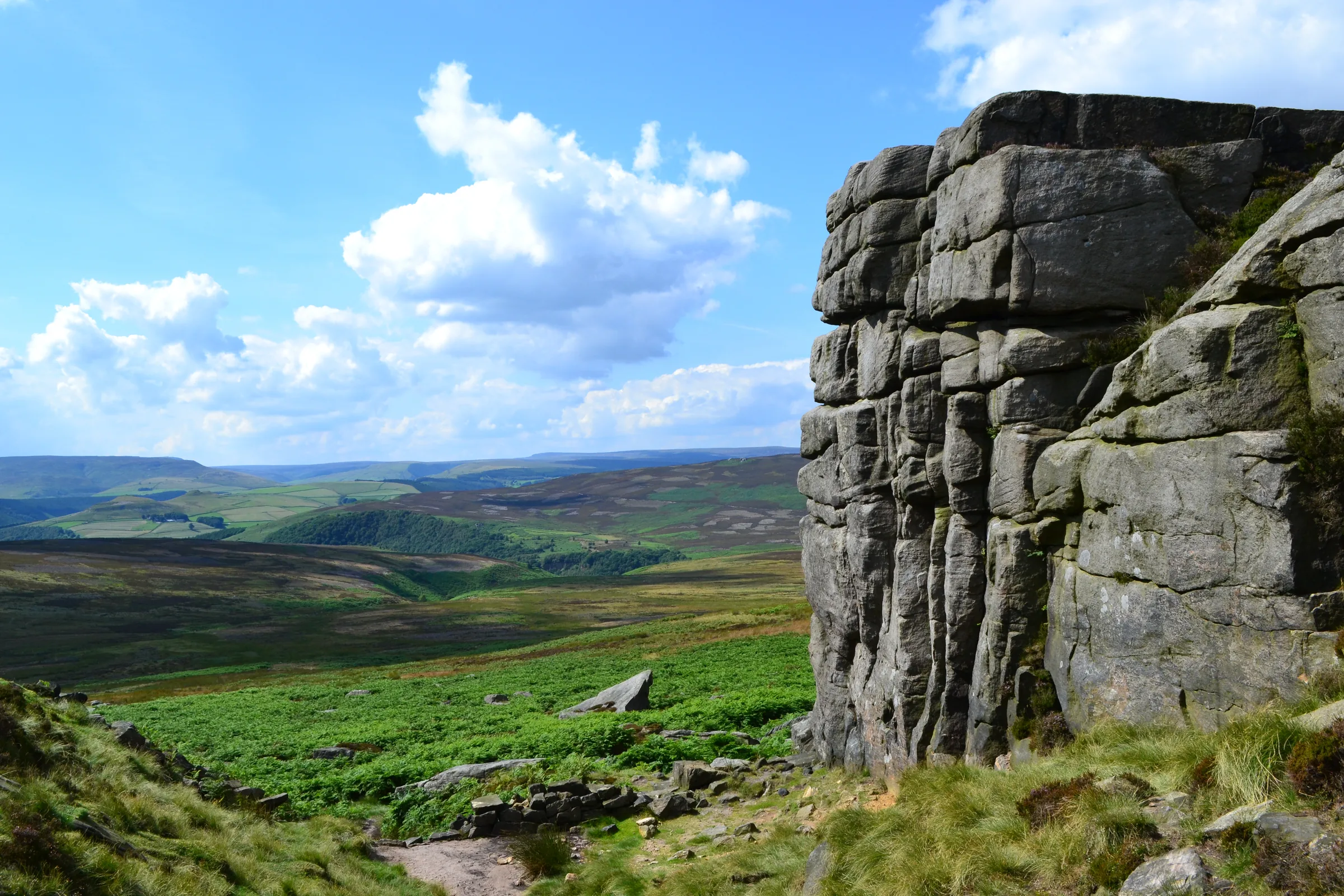
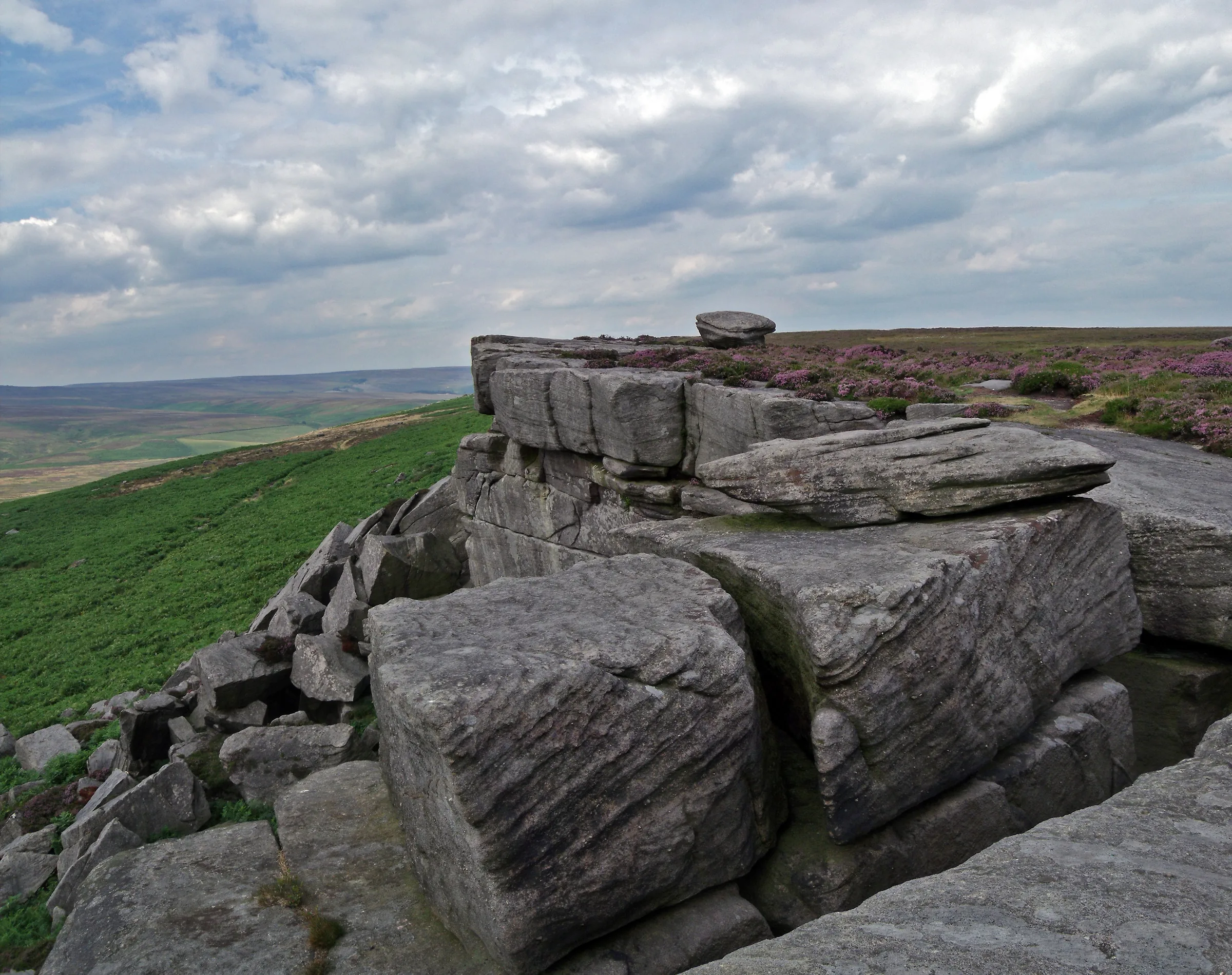
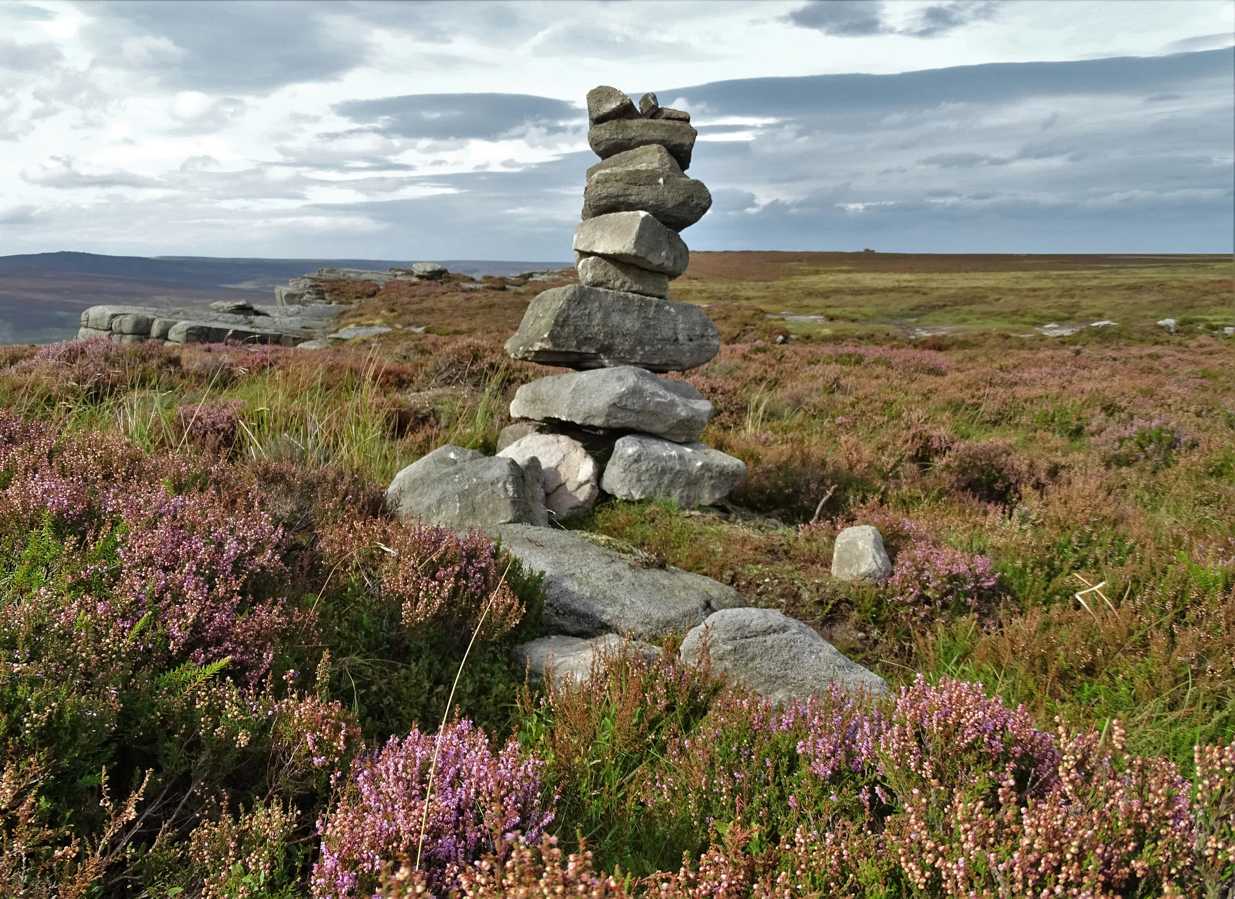
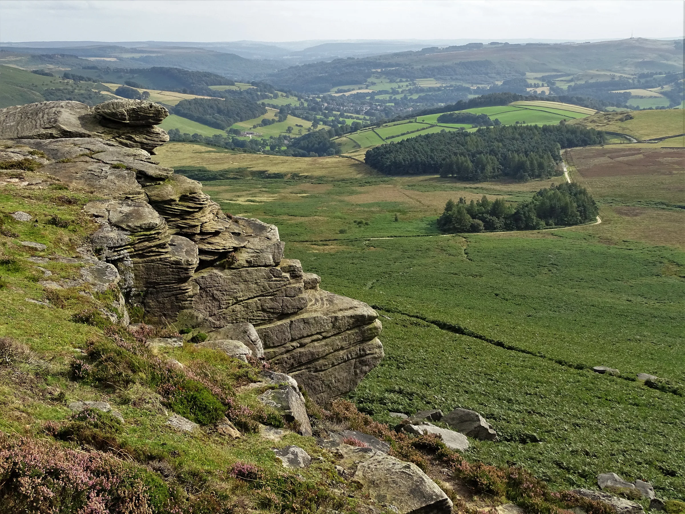
Photos
Photo credits
Photos without a credit are our own. These are used under Creative Commons licences; thank you to the photographers.
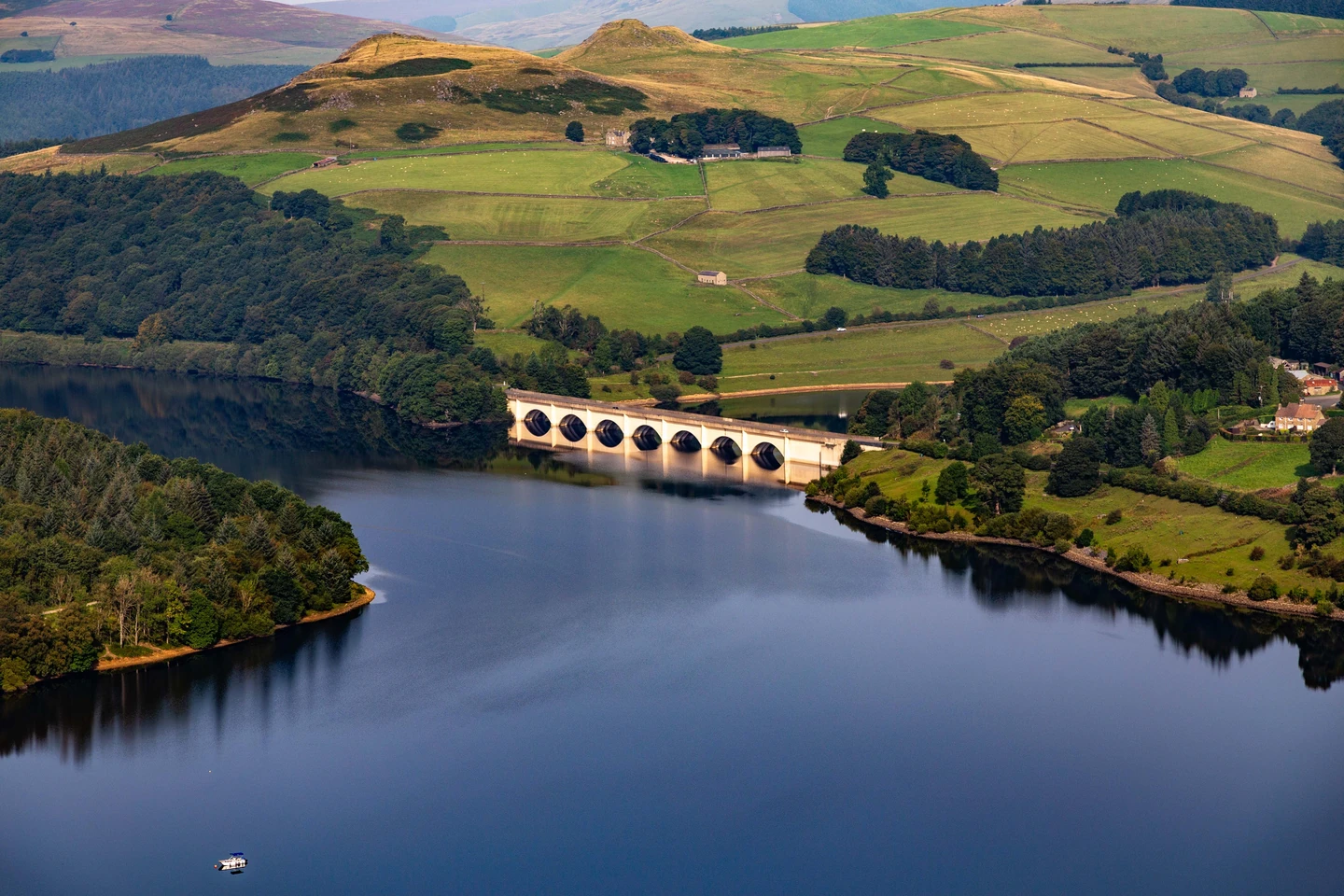
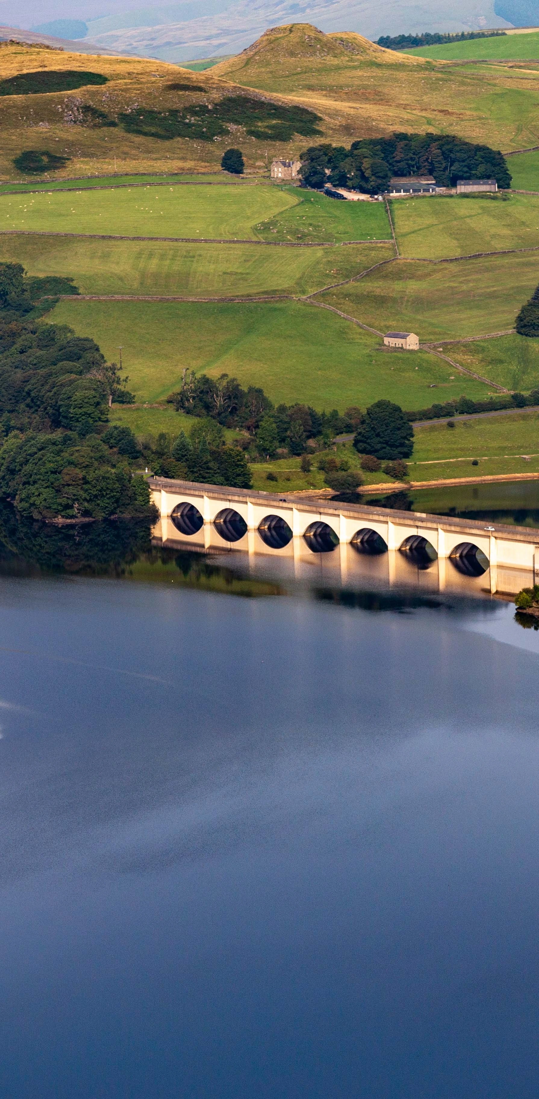
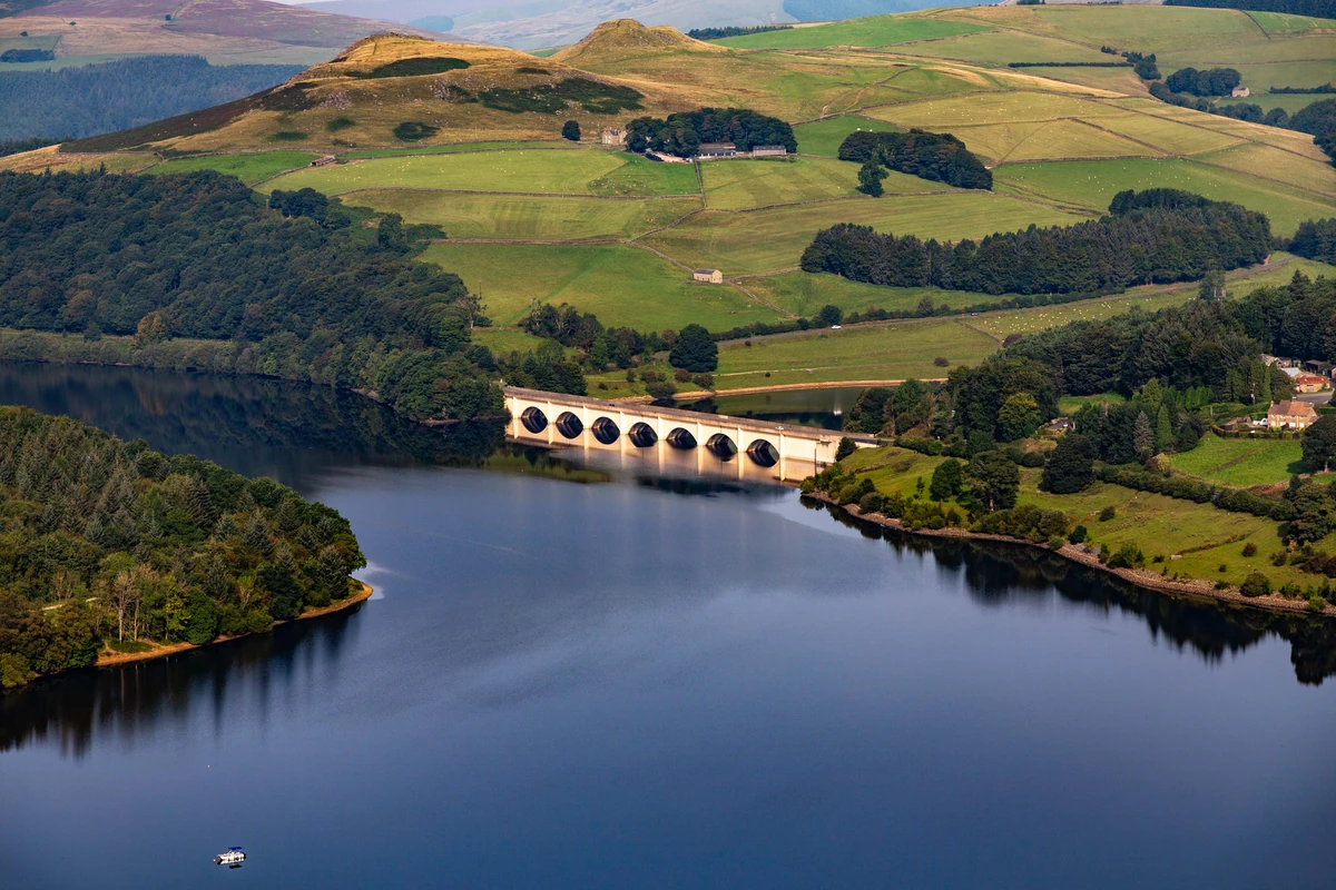 Ashopton ViaductHero photo · by Peter McDermott, Wikimedia Commons (Geograph)Original photoCC BY-SA 2.0 licence
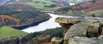 The Top of Great Torby Anthony Parkes, Wikimedia Commons (Geograph)Original photoCC BY-SA 2.0 licence
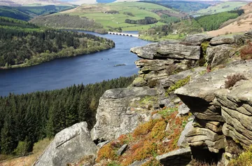
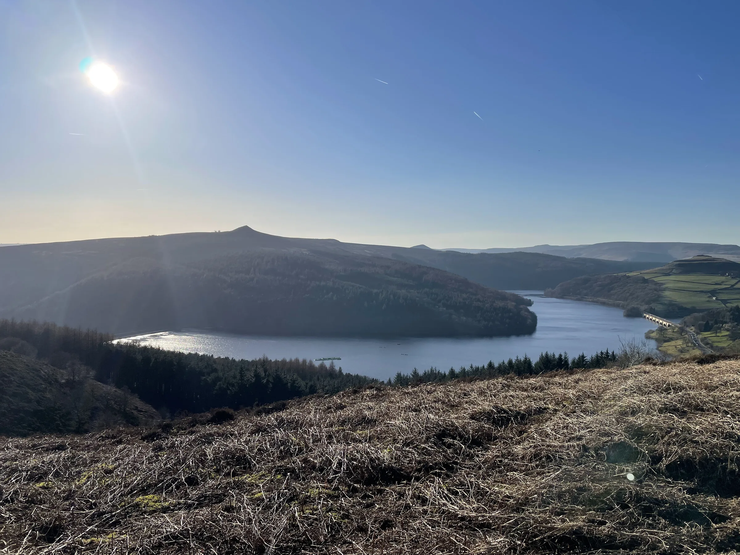
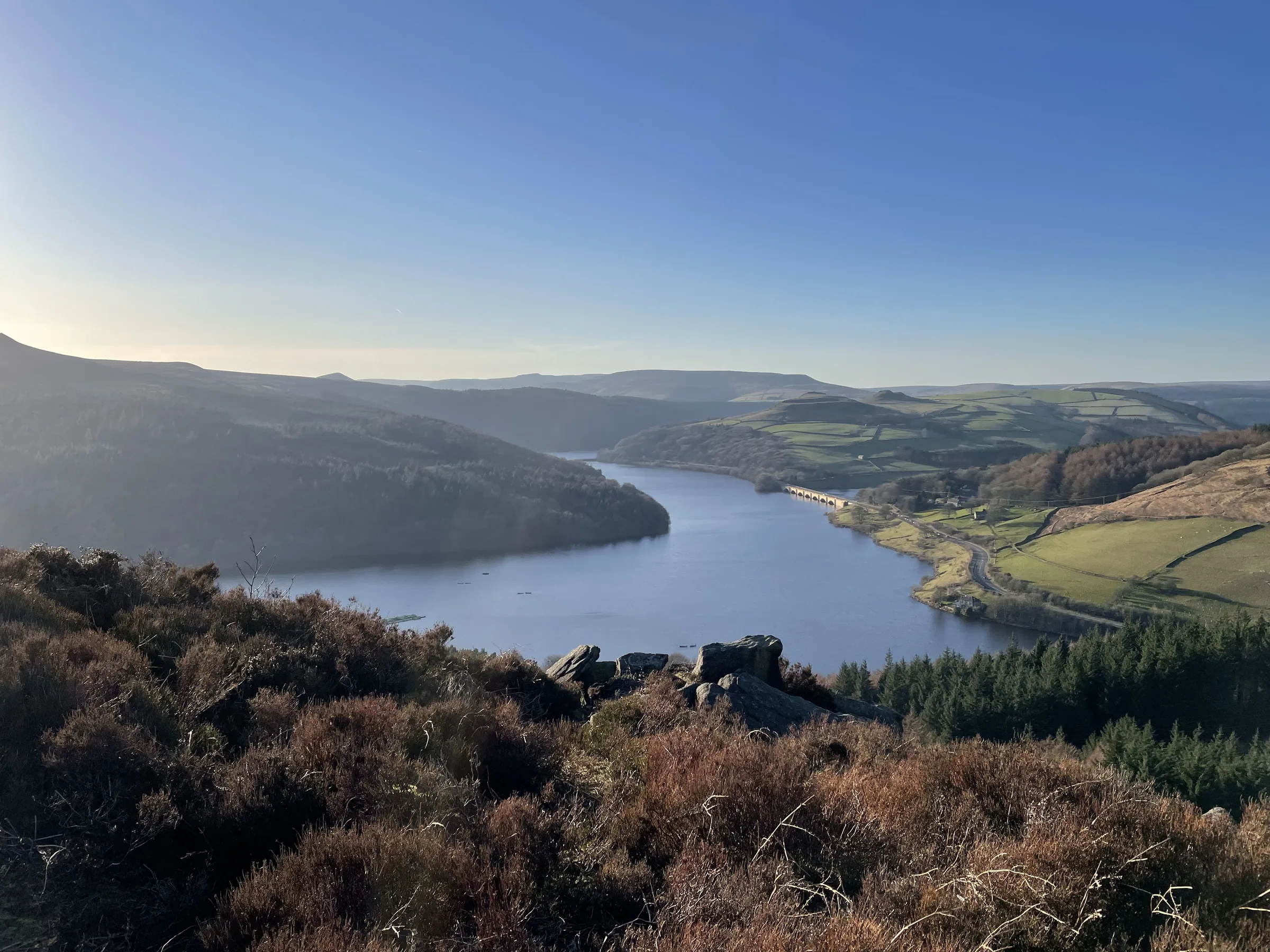
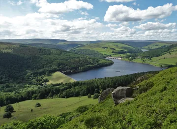 Ladybower Reservoir viewed from Bamford Edgeby Neil Theasby, Wikimedia Commons (Geograph)Original photoCC BY-SA 2.0 licence
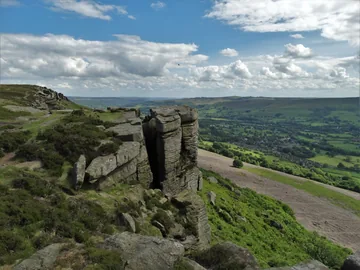 At Great Tor - looking towards The Hope Valleyby Neil Theasby, Wikimedia Commons (Geograph)Original photoCC BY-SA 2.0 licence
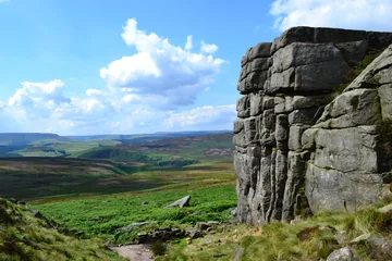 At Crow Chin, Stanage Edge looking westwardsby Neil Theasby, Wikimedia Commons (Geograph)Original photoCC BY-SA 2.0 licence
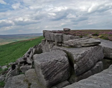
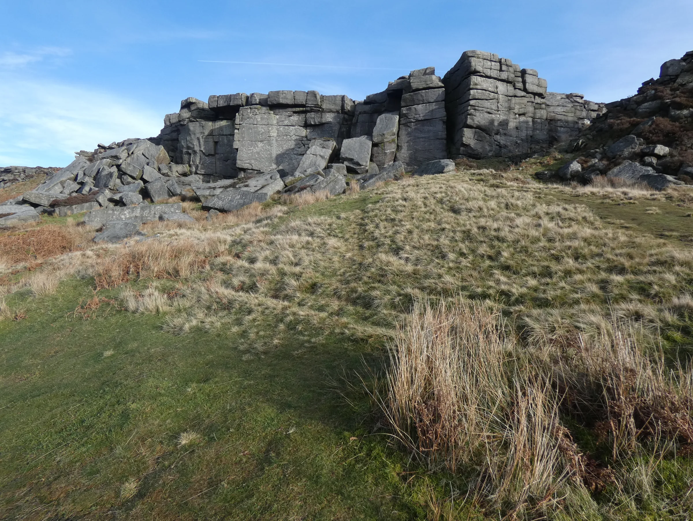
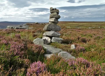 A pile of rocks on Stanage Edgeby Neil Theasby, Wikimedia Commons (Geograph)Original photoCC BY-SA 2.0 licence
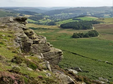 View from High Neb, Stanage Edgeby Neil Theasby, Wikimedia Commons (Geograph)Original photoCC BY-SA 2.0 licence
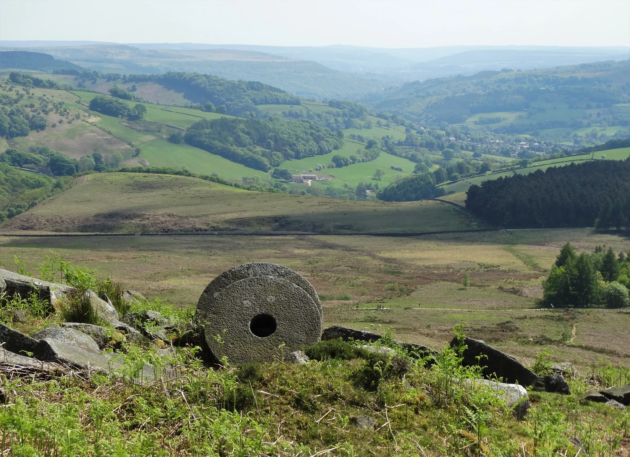
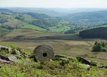 Abandoned millstones below Stanage Edgeby Neil Theasby, Wikimedia Commons (Geograph)Original photoCC BY-SA 2.0 licence
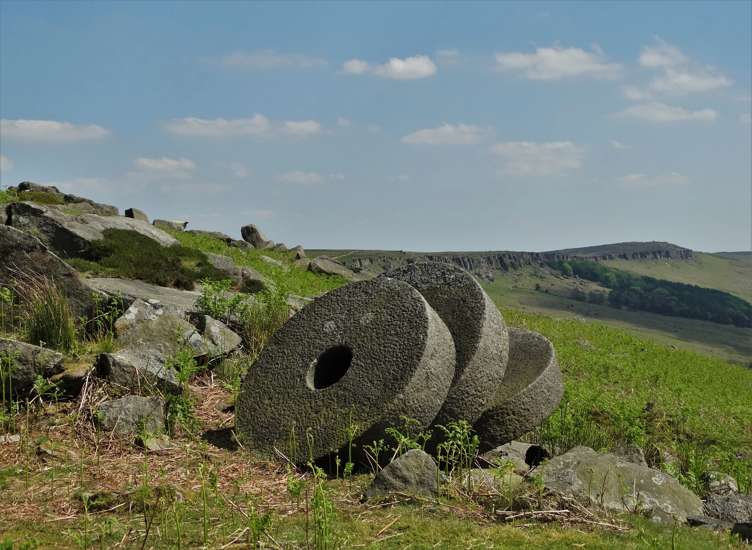
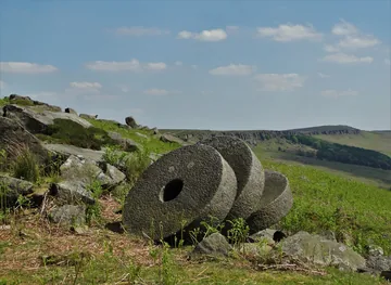 Abandoned millstones below High Nebby Neil Theasby, Wikimedia Commons (Geograph)Original photoCC BY-SA 2.0 licence
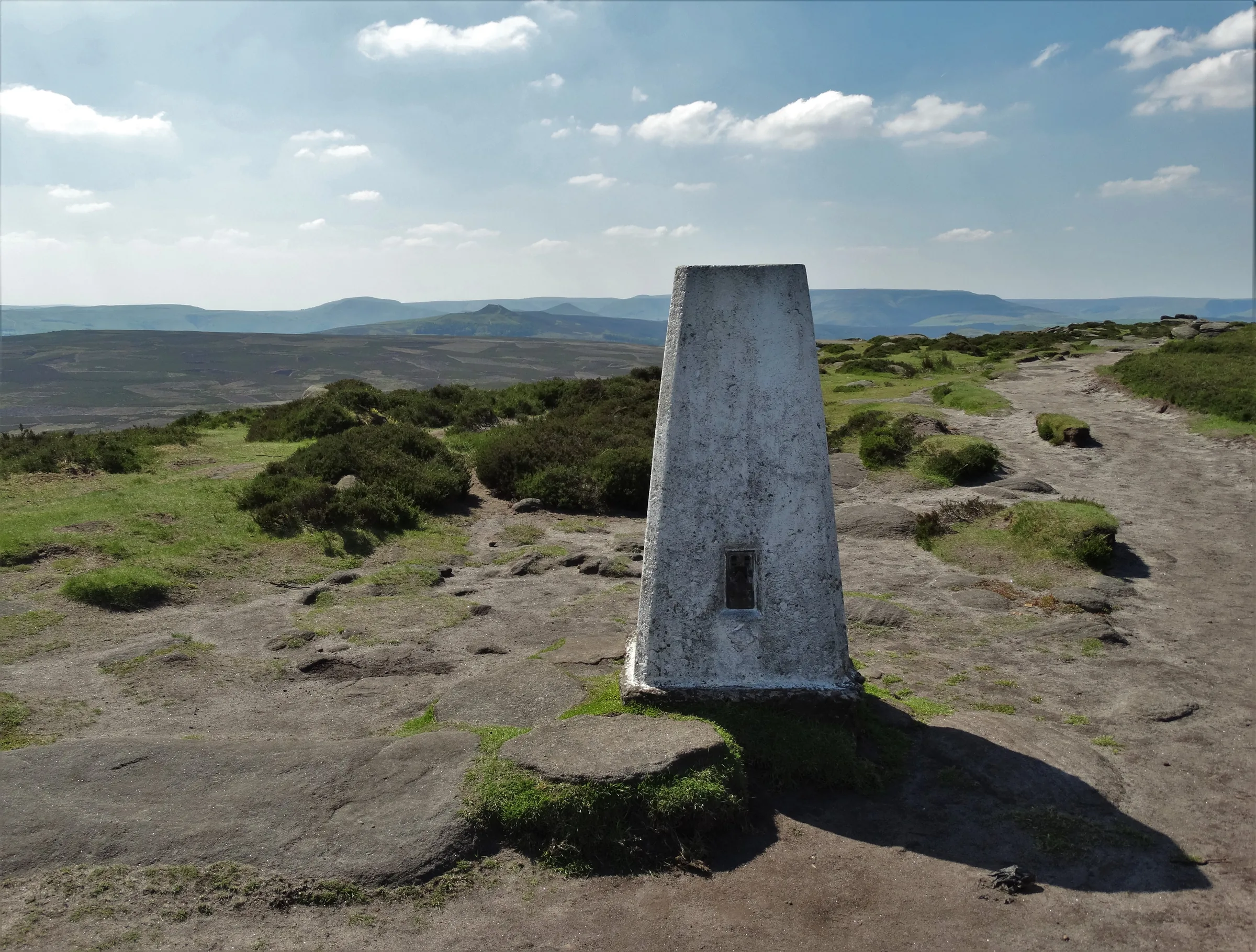
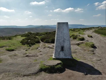 High Neb - the triangulation pillarby Neil Theasby, Wikimedia Commons (Geograph)Original photoCC BY-SA 2.0 licence
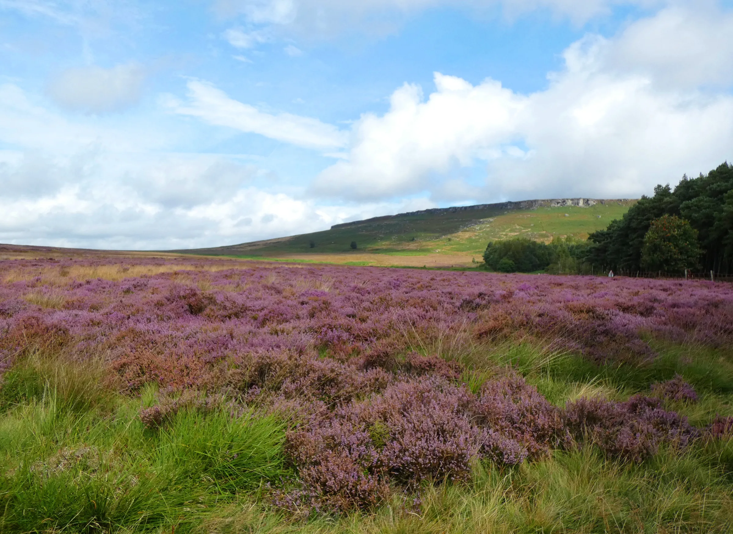
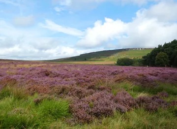 Heather at Dennis Knollby Neil Theasby, Wikimedia Commons (Geograph)Original photoCC BY-SA 2.0 licence
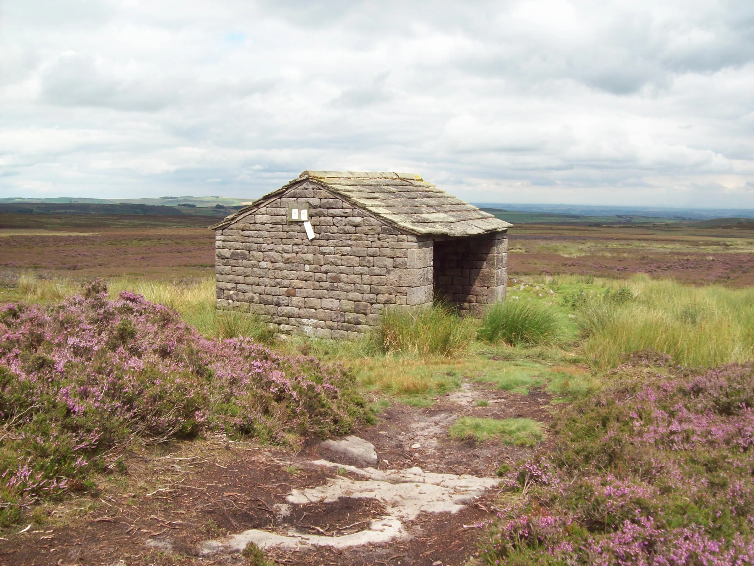
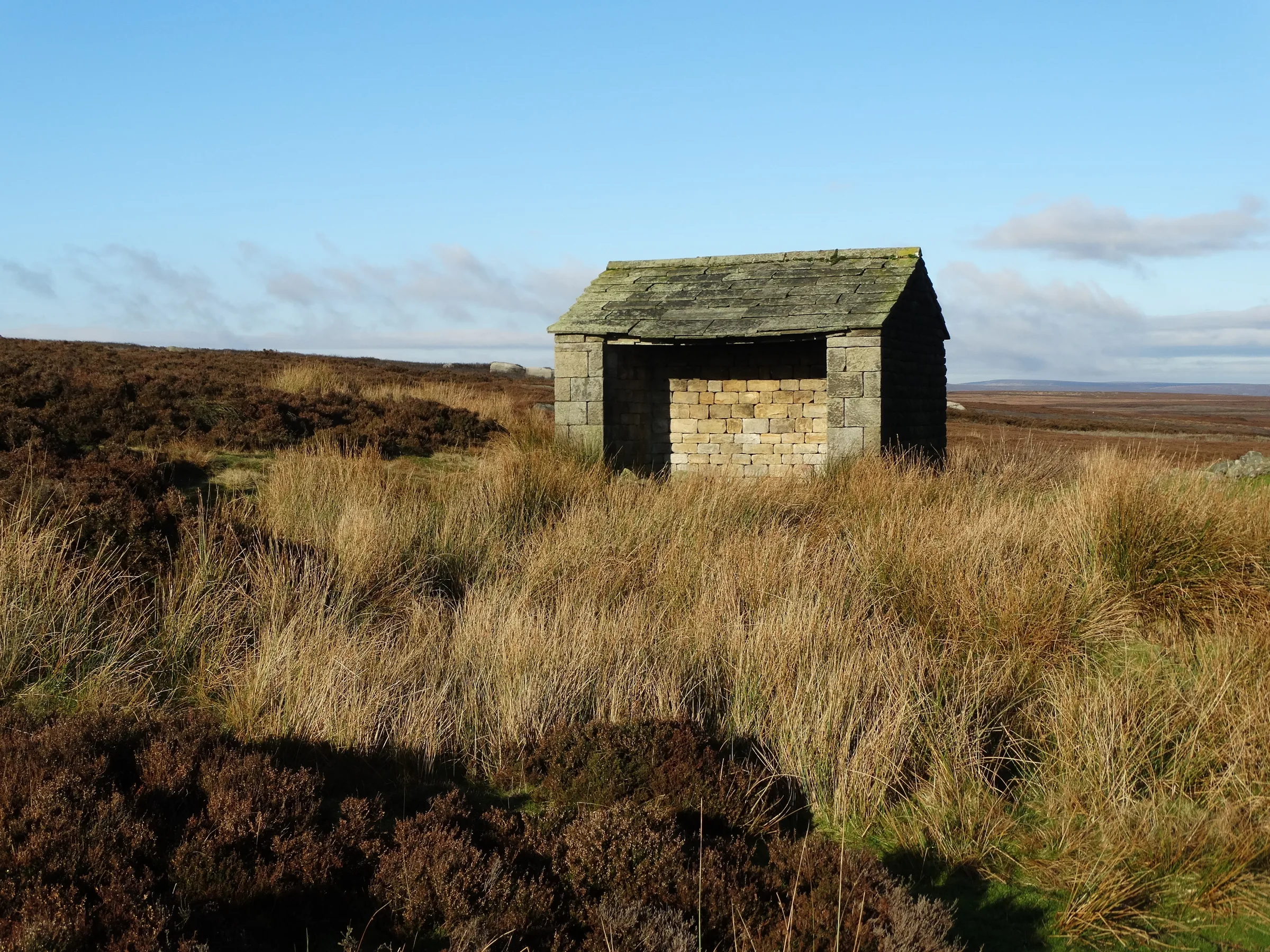
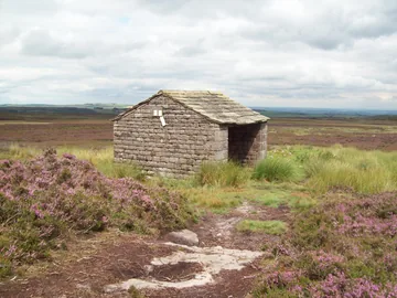 Stone Shelter near High Nebby Jonathan Clitheroe, Wikimedia Commons (Geograph)Original photoCC BY-SA 2.0 licence
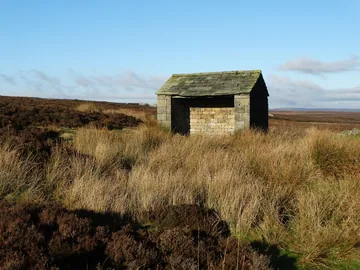
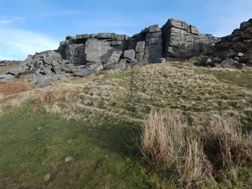 Stanage Edge - Crow Chinby Neil Theasby, Wikimedia Commons (Geograph)Original photoCC BY-SA 2.0 licence
Hints & Tips
Leave the Dog at Home
The open access moorland around Bamford Edge has a long-term restriction on dogs, which are only allowed on public rights of way here, and route guides for this loop say no dogs. This is one to do without them. If you're unsure, check Natural England's open access map before you go.
Shooting Day Closures
Bamford Edge is privately owned open access land, and the landowner can close it for up to 28 days a year, often for grouse shooting. The dates change every year, so look for notices at the access points or check the Peak District National Park website before you set off. If it's closed, you can still walk up to High Neb and come back down the Long Causeway.
Rough Between the Edges
The middle of the walk is the hard part. The drop to Jarvis Clough is over boulders and rough ground, and the climb onto Bamford Moor crosses a very marshy stretch where the path is narrow and easy to lose. Waterproof boots help, and in mist have the GPX on your phone for this section.
Ten Spaces Only
Dennis Knoll has just 10 spaces and its machine takes contactless only, though you can also pay by RingGo (location 51706). If it's full, Hollin Bank car park, further east along the same lane, is much bigger and has toilets nearby (see Parking).
Interesting Facts
General
The Stone Edge
Stanage takes its name from "stone edge", and the crag runs for three miles from the Cowper Stone in the south to Stanage End in the north
On the County Line
The northern part of Stanage Edge, the part you walk along on this loop, forms the border between Derbyshire's High Peak and the city of Sheffield in South Yorkshire
Drinks for the Grouse
The small numbered basins cut into the rocks along the edge were made in the early 20th century to collect clean rainwater for grouse to drink
On the Big Screen
In the 2005 film Pride & Prejudice, Keira Knightley's Elizabeth Bennet is seen standing on Stanage Edge, gazing out at the horizon
The Tunnel Under the Moor
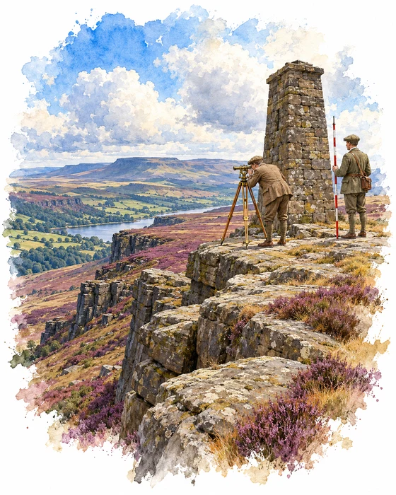
Somewhere beneath the moor on this walk runs a tunnel 4.5 miles long. It was dug between 1903 and 1909 to carry water from the Derwent Valley, where Ladybower Reservoir is now, east through the hills to the Rivelin Dams above Sheffield. The Sheffield Waterworks Company had built the two Rivelin reservoirs in the 1840s, and the agreement that allowed them said they must let more than three million gallons a day into the River Rivelin for the mill owners downstream. For years much of that water had to be borrowed from the Redmires Reservoirs, so the tunnel was built to bring it from the plentiful River Derwent instead.
A tunnel dug through a hill has to be dead straight, so the engineers set out its line with a row of sighting towers across the moors. The tallest, about 40 feet high, stood on top of Stanage Edge at the halfway point. From it, surveyors sighted along the line to a stone pillar on Bamford Moor to the west and another near Oaking Clough to the east. The tower was later pulled down, and the heap of stones beside the edge path north of High Neb is all that is left of it. A small building nearby stored the surveying gear and may later have held blasting powder for the quarries at Stanage End. The pillar on Bamford Moor, about 8 feet tall, is the one you pass on the climb from Jarvis Clough.
The finished tunnel is 6 feet 6 inches high and 6 feet wide, and it falls just 2 metres over its whole length, a gradient of 1 in 3,600. An electric railway ran through it while it was being built, and it cost £135,151, about £13,000 less than the budget. The tunnel is unlined, so water seeps in from the moor along the way and more flows out at the Rivelin end than goes in at the Ladybower end. It still takes water from a drain hole in the south-east corner of Ladybower and delivers it into the Lower Rivelin Reservoir, which helps supply Sheffield.
The Long Causeway
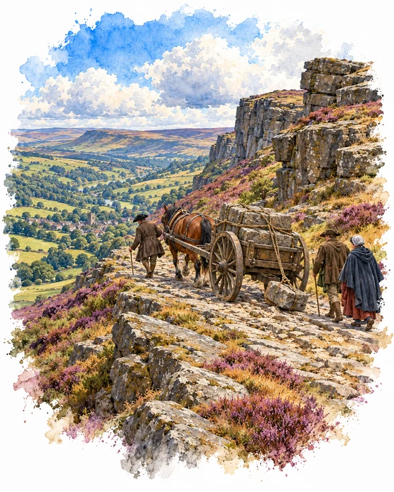
The stony track you climb at the start of this walk is the Long Causeway, or Long Causey, a medieval packhorse road between Sheffield and Hathersage. Old maps marked it as a Roman road, because it was thought to follow part of Batham Gate, the Roman road from Templeborough to Buxton. In recent years scholars have doubted that, and in 2016 a report on University of Sheffield excavations near Ringinglow questioned whether there was any Roman road near Stanage at all.
In the Middle Ages, packhorses carried salt from the Cheshire salt mines along it into Yorkshire. From Sheffield the road climbed for seven miles and more than 1,100 feet to Stanedge Pole, on the boundary between the manors of Sheffield and Hathersage, then turned west and swung north-west to come down Stanage Edge through a less rocky gap. By the 18th century carts had taken over from many of the packhorses, loaded with oil, hardware, barrels of tar, hogsheads of treacle, glue from Manchester, lead and small grinding stones. The way down was so steep that carters asked their passengers to get out, and hung stones off the back of their carts to hold them back. At the bottom, the road swung right round past Dennis Knoll, where this walk starts, and into Hathersage from the north.
The causeway was never a turnpike, but it was busy enough to be given milestones in the 1730s, which was very unusual for a road without tolls. Traffic began to fall away around 1760, after a new route to the Hope Valley opened through Ringinglow. Today it survives as an unsurfaced track between Redmires Reservoirs and Dennis Knoll, still paved in places, with the longest paved stretch, about 80 metres, just west of Stanage Pole. Vehicles are now banned from it. When Derbyshire County Council resurfaced the stretch between the edge and Dennis Knoll in 2013 and removed many of its big boulders, plenty of people complained that the smooth new surface didn't suit such an ancient road.
More Hikes
 ModerateThe Crashed Plane3.7 mi · 2–3 hrs · 145m
 ModerateDerwent Edge7.5 mi · 3–4 hrs · 367m
 HardKinder Scout9.4 mi · 4–6 hrs · 635m
 ModerateDovedale & Thorpe Cloud6.8 mi · 3½–4½ hrs · 476m
 EasyCurbar & Froggatt Edges5.8 mi · 2½–3½ hrs · 252m
 ModerateShutlingsloe6.4 mi · 3–4 hrs · 429m
Subscribe for updates on new hikes and National Parks
One email a month with new hikes and routes. No spam.