



Contents
Overview
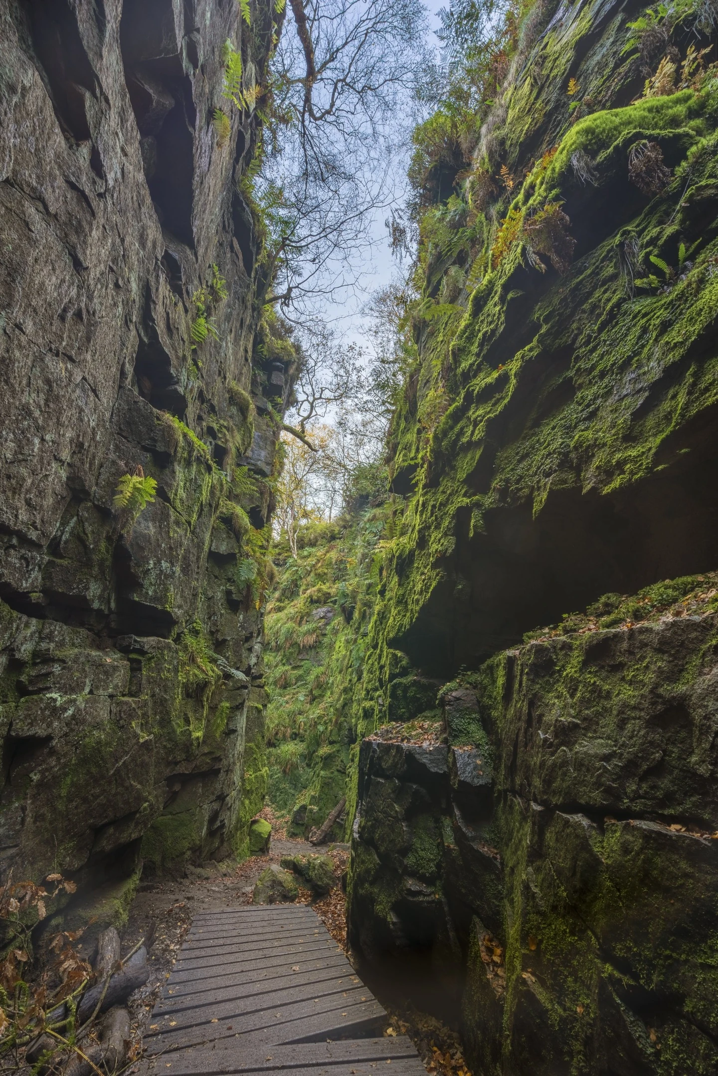
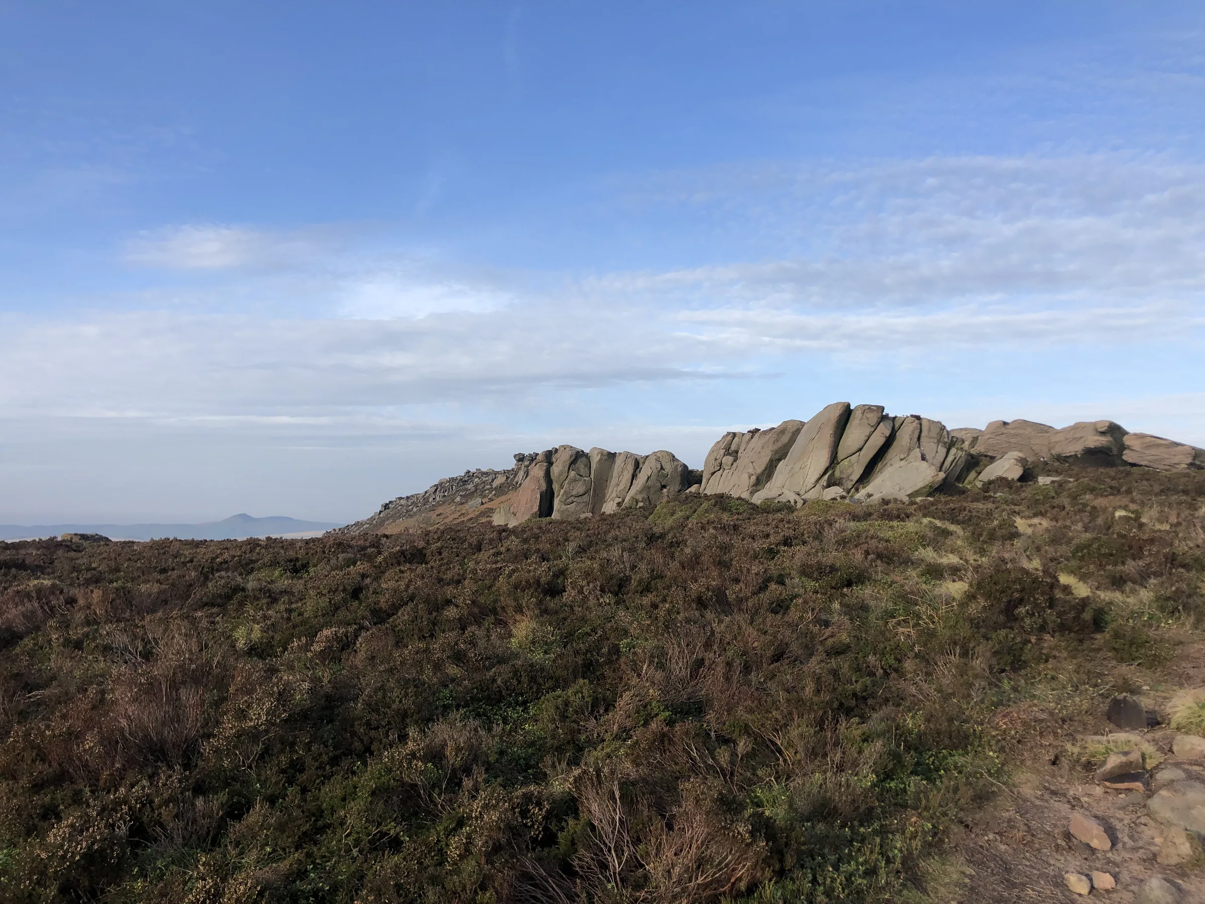
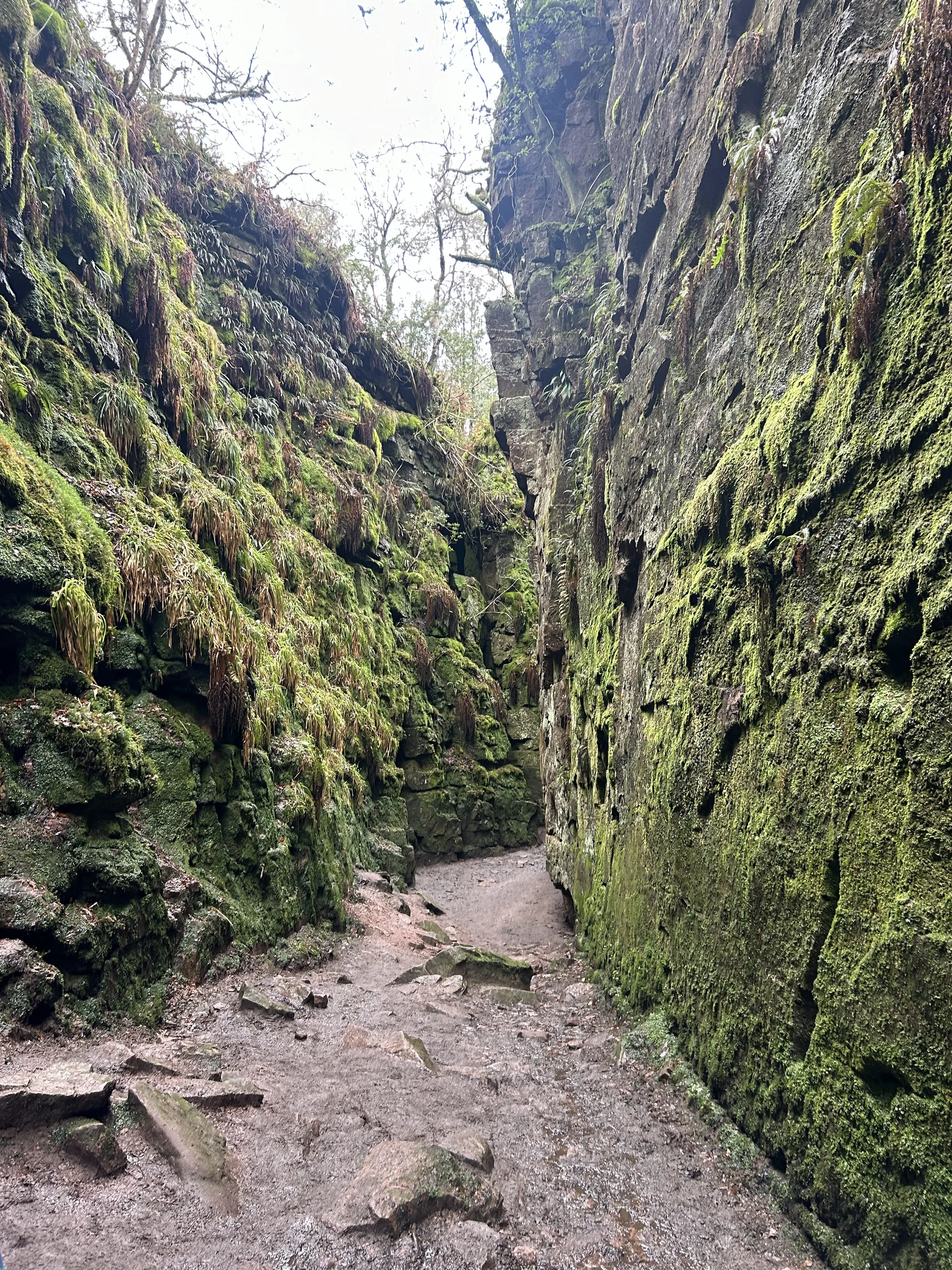
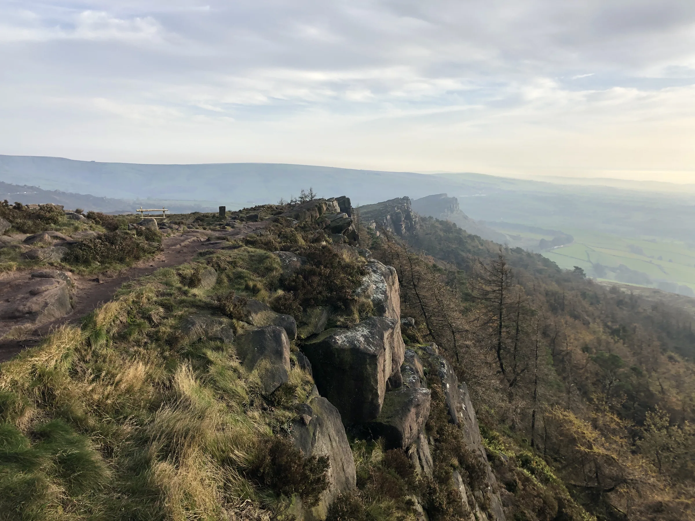
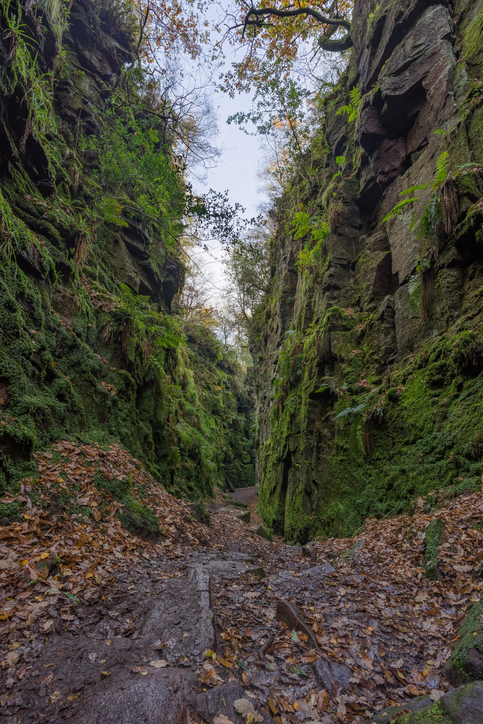
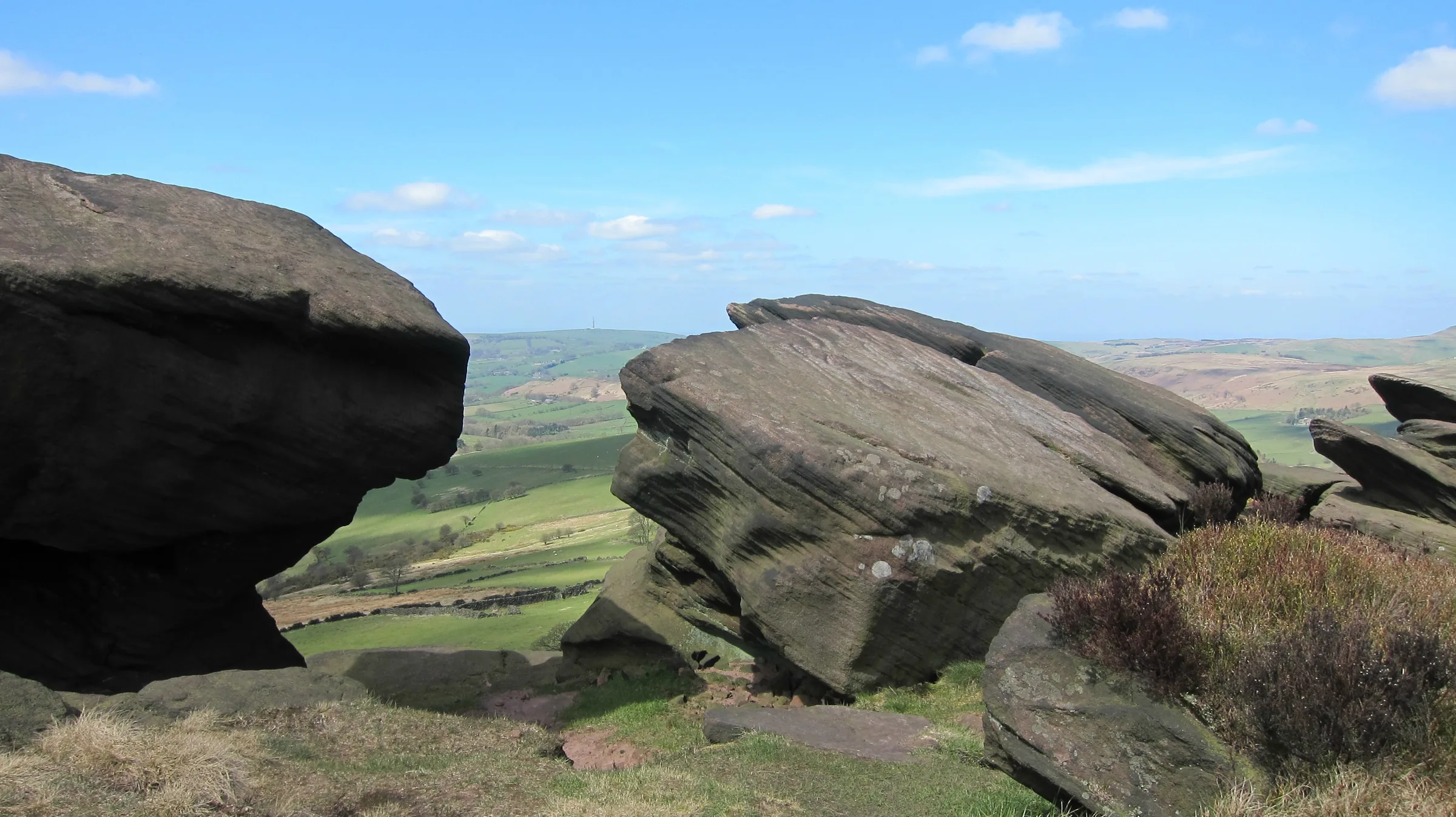
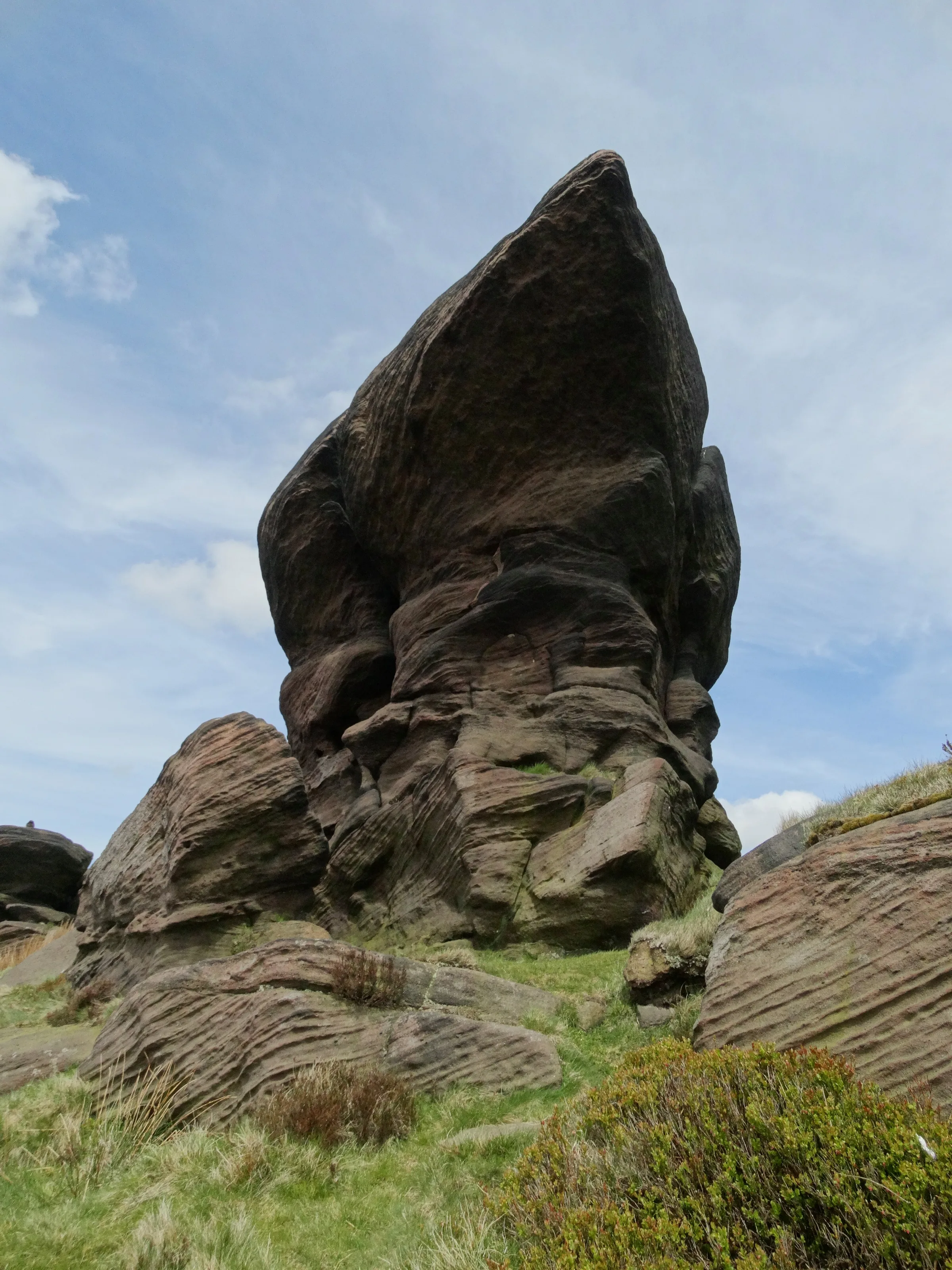
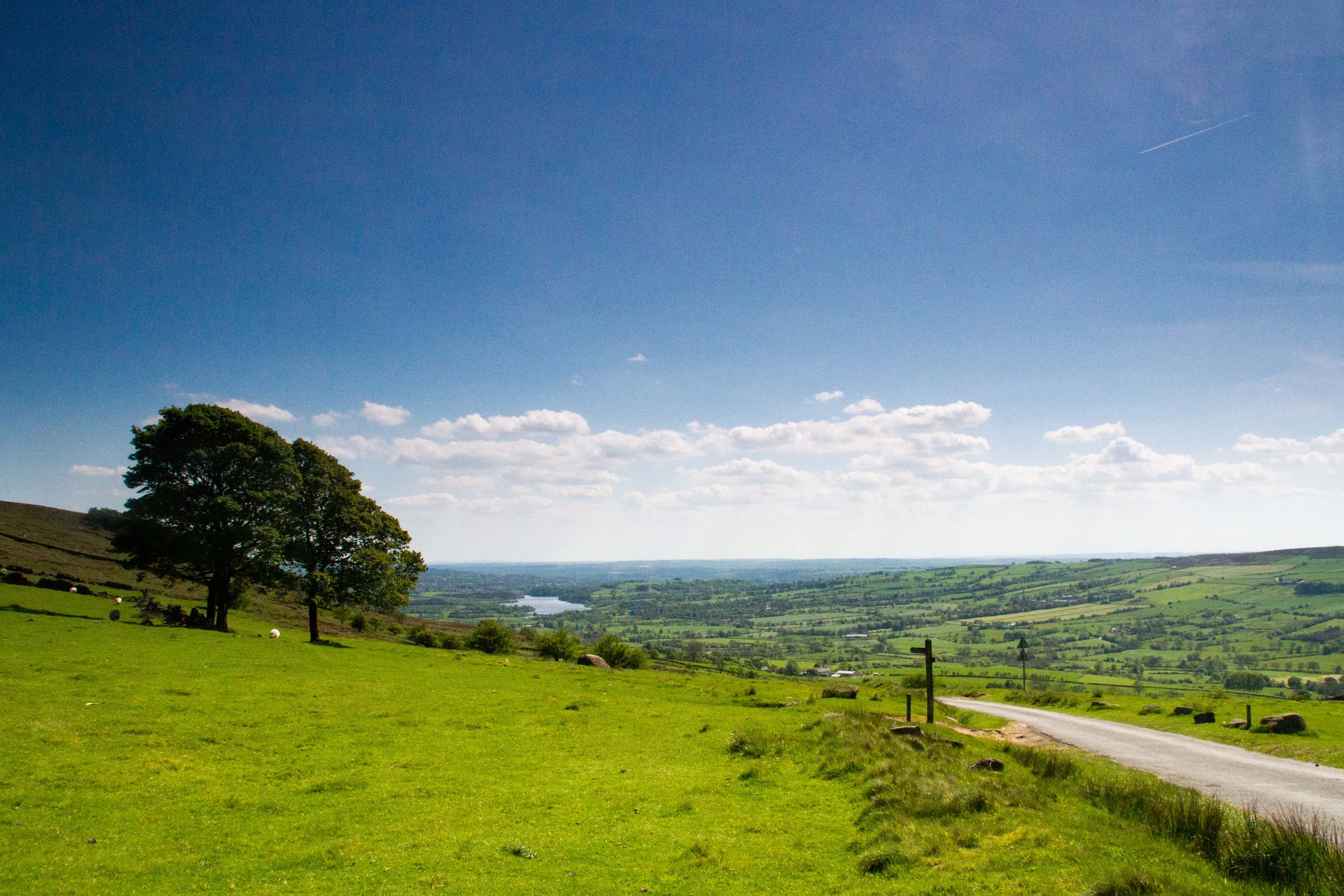
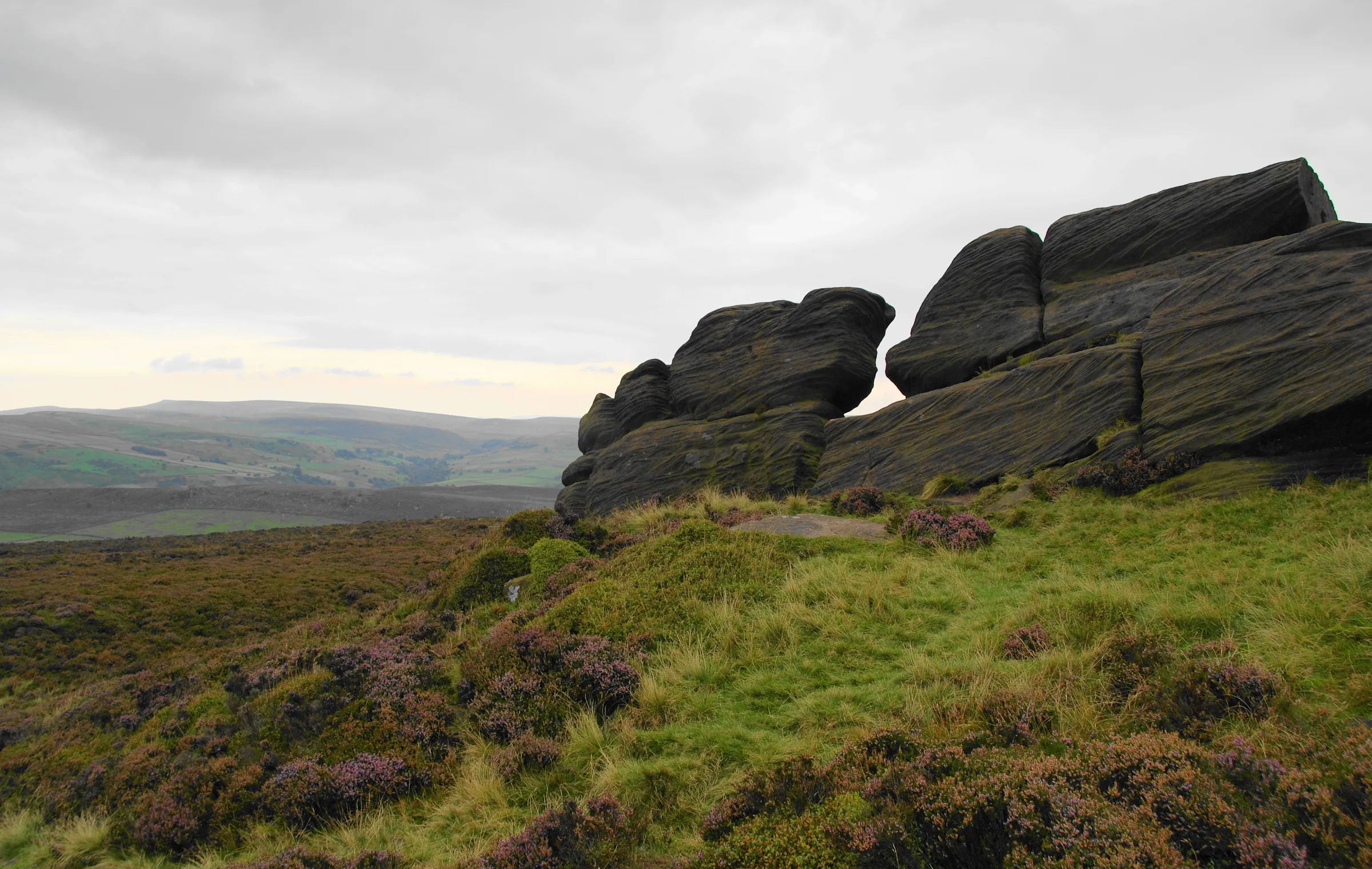
Sharp, weathered rocks run along the top of the moor above Leek and Tittesworth Reservoir, and they have given this ridge its name: The Roaches comes from the French les roches, the rocks. They are made of a coarse gritstone that geologists named the Roaches Grit after this very spot, and the crags are a favourite with climbers. The top reaches only 505m, yet on a clear day the view stretches across Cheshire as far as Snowdon. Hidden in the woods at the far end of the ridge is something stranger: Lud's Church, a deep, mossy rift in the hillside left behind by a huge landslip.
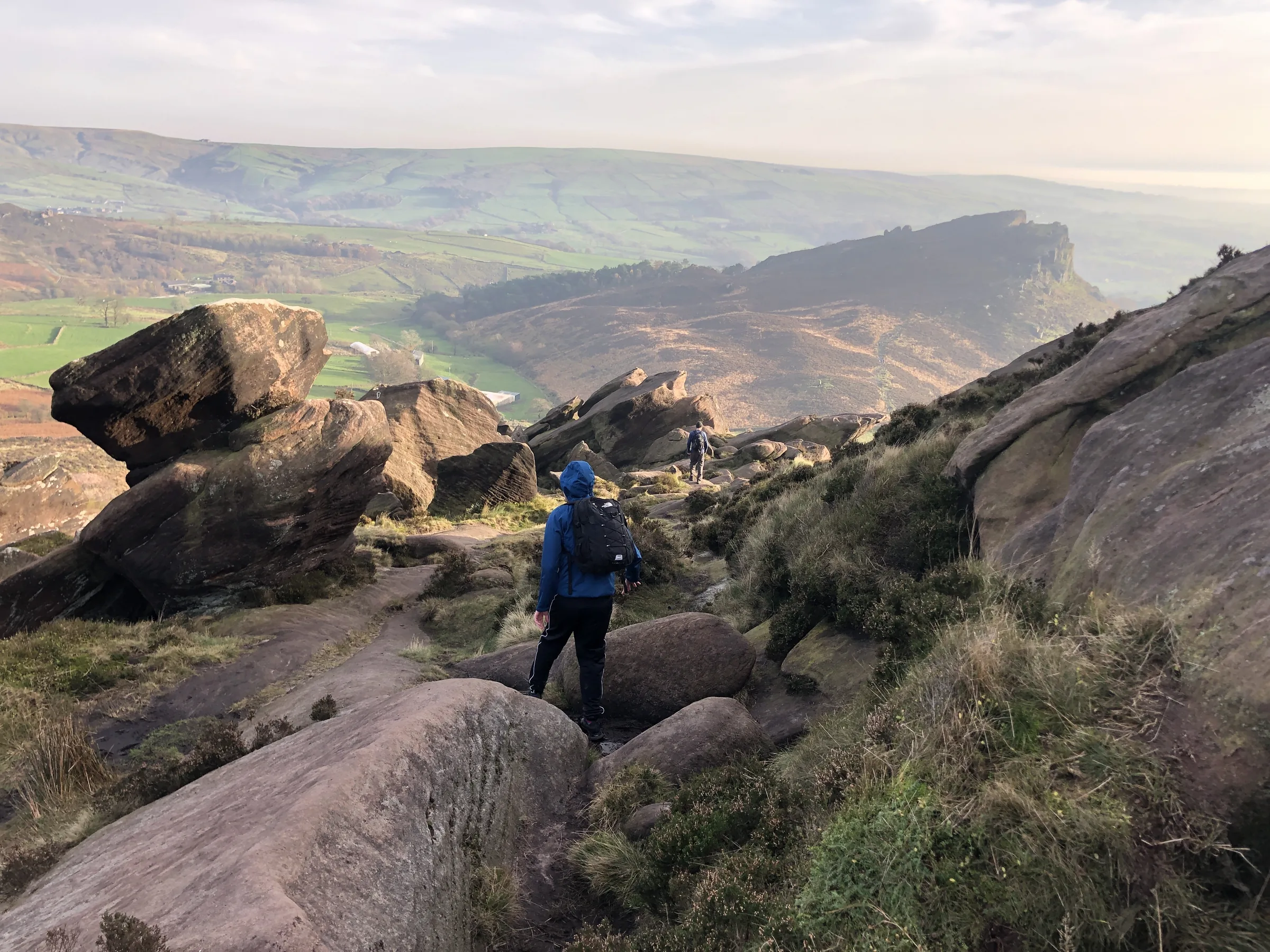
From the lay-bys on Roach Road, the route heads east past Rockhall, then climbs a steep, stepped path onto the top of the escarpment. A path runs north-west along the edge, past the little Doxey Pool, to the trig point at the highest point, then drops to the lane at Roach End. From there you follow the open ridge of Back Forest, drop down towards the River Dane and walk through the trees to Lud's Church. A path along the lower slopes climbs gently back to Roach End, and the quiet lane below the crags takes you back to the start. This walk takes in one of the Peak District's Ethels: The Roaches. Find all 95 on our Ethels map.
Go prepared, stay safe,
and enjoy the hike!
Key Info
Crowds
High
The Roaches is a popular spot with walkers and climbers, and the free lay-bys on Roach Road get very busy, especially on sunny days. The path up to the trig point is the busiest part, while the second half of the walk is much quieter. Lud's Church can also get busy, but people have found it nearly empty on a winter weekday.
When it gets busy
- Sunny weekends and school holidays
- Roach Road lay-bys, which fill up on sunny days; aim to arrive by 9AM
- The path along the ridge to the trig point
- Climbers on the crags, as the Roaches is popular with climbing clubs
- Lud's Church, a popular spot that can get quite busy
For a quieter walk
- Arrive by about 9AM to get a space, or come later in the afternoon
- Go on a weekday, ideally in winter, when Lud's Church can be almost empty
- Early mornings are a good time to see Lud's Church without the crowds
- If the lay-bys are full, the Roaches Tea Rooms sometimes offers paid parking in its field
- Only park in the marked bays, as the council fines cars parked outside them
Our crowd rating is for a typical sunny weekend in spring or summer, in the middle of the day. Timing makes a big difference, so even a busy walk can be quiet early, late or midweek.
The Route
Disclaimer: Route information and GPX files are provided for general guidance only. Conditions can change, so always use your own judgement and navigate responsibly. See our Terms of Use & Disclaimer for more information.
Route Guide
- 1
Climb onto the ridge0.5 mi · 95m upWalk east from the lay-bys on the path below Rockhall, the old cottage under the crags. Then turn sharp left and climb the steep, stepped path north-west, above the cottage, to the top of the escarpment.
- 2
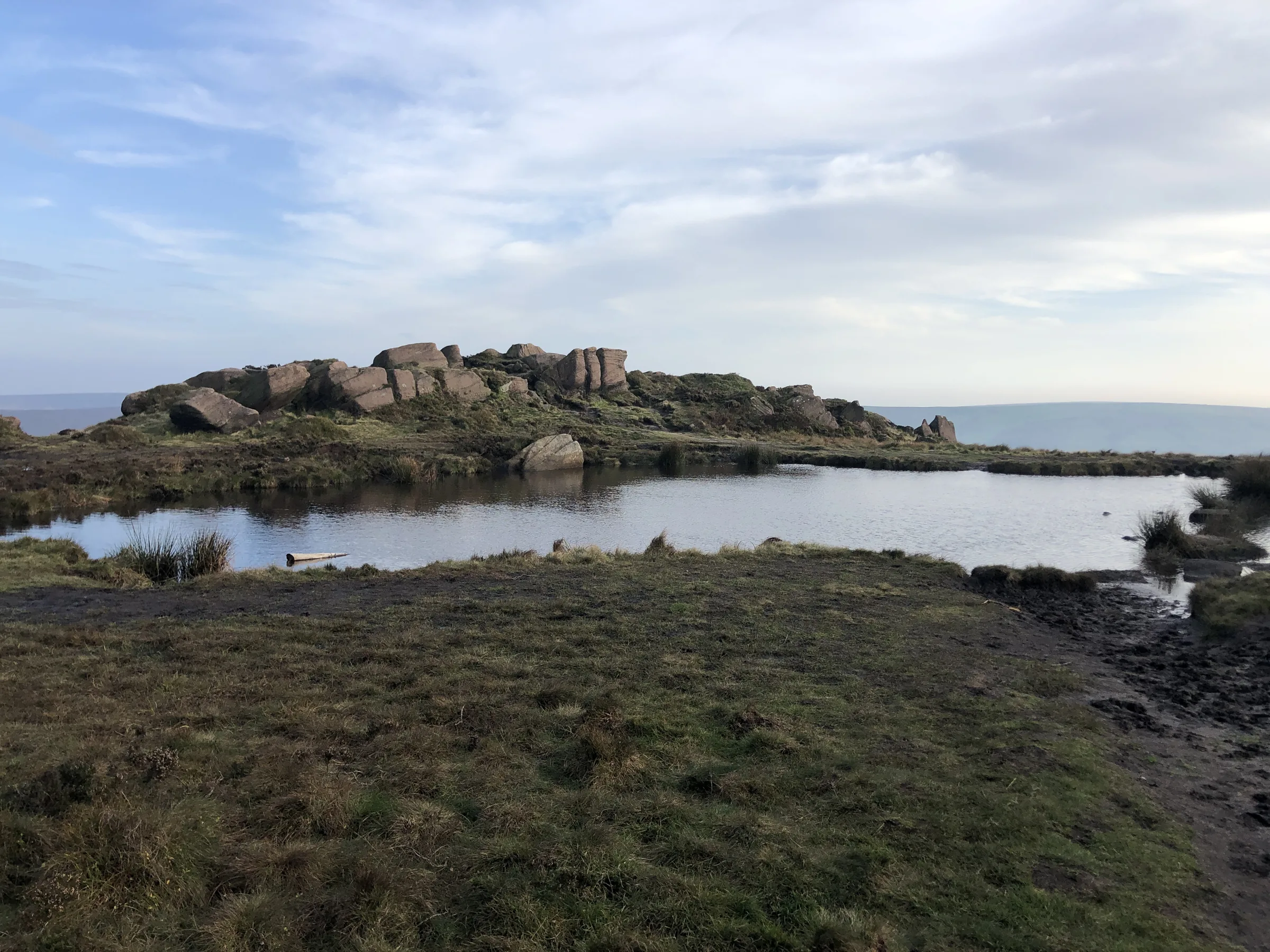
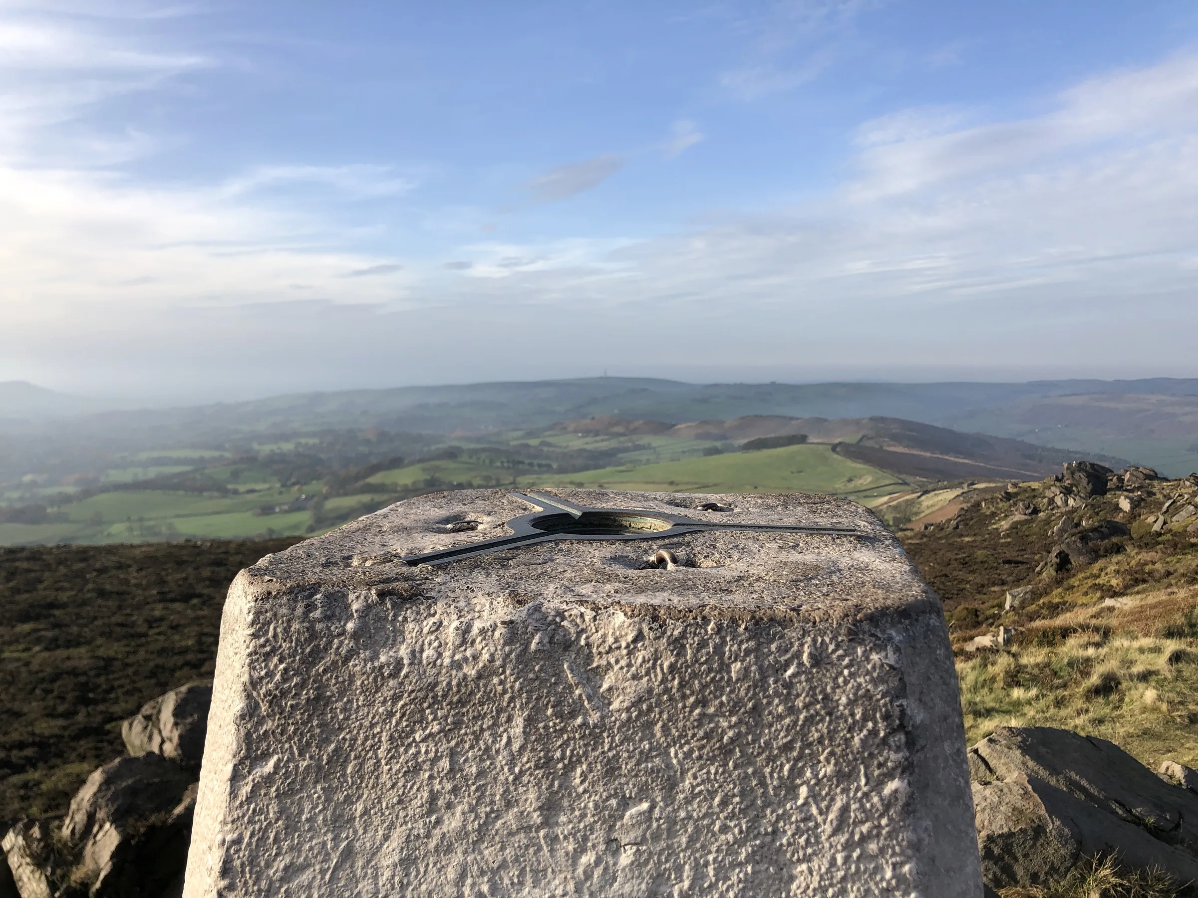
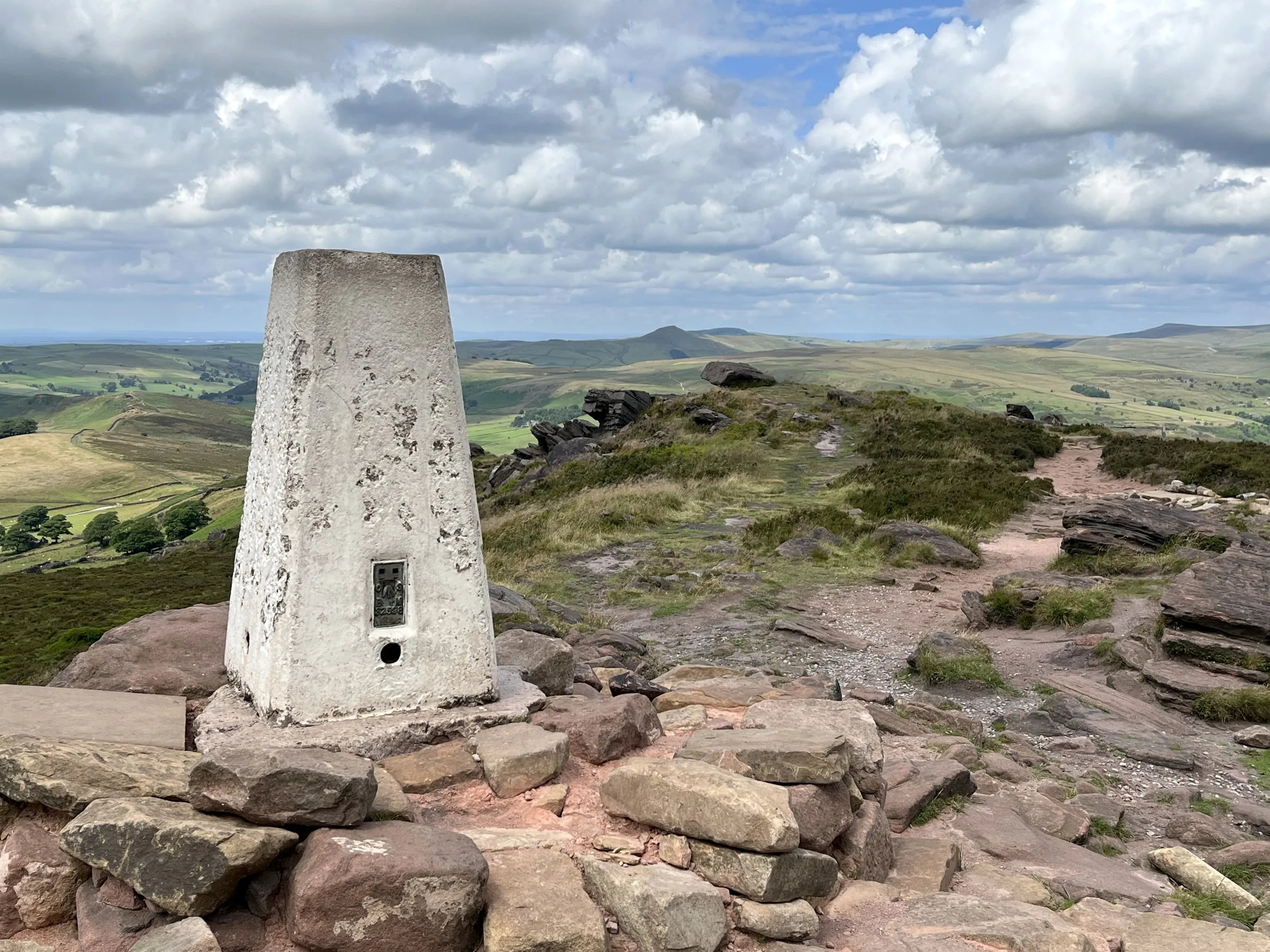
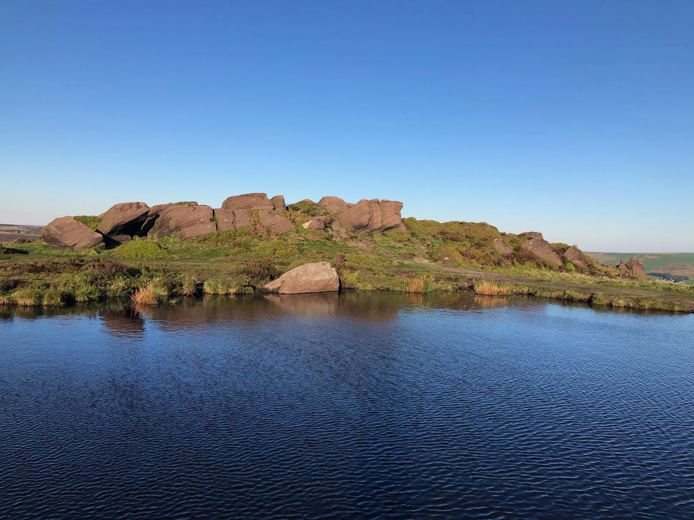
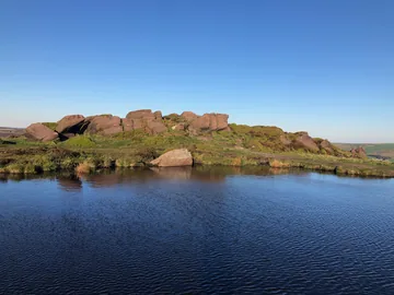
Along the edge to the top1.0 mi · 70m up · 5m downFollow the path north-west along the edge. You pass Doxey Pool, a small pond beside the path, after about three-quarters of a mile, then climb gently to the trig point at 505m, the highest point of the walk.
- 3
Down to Roach End0.5 mi · 90m downCarry on north-west along the ridge, now heading downhill, to the lane at Roach End.
- 4
Back Forest ridge1.3 mi · 15m up · 85m downCross the lane and keep straight on along the path over the open ridge of Back Forest. It runs north-west, then west, losing height gradually. After about 1.3 miles, turn right and drop north off the ridge.
- 5
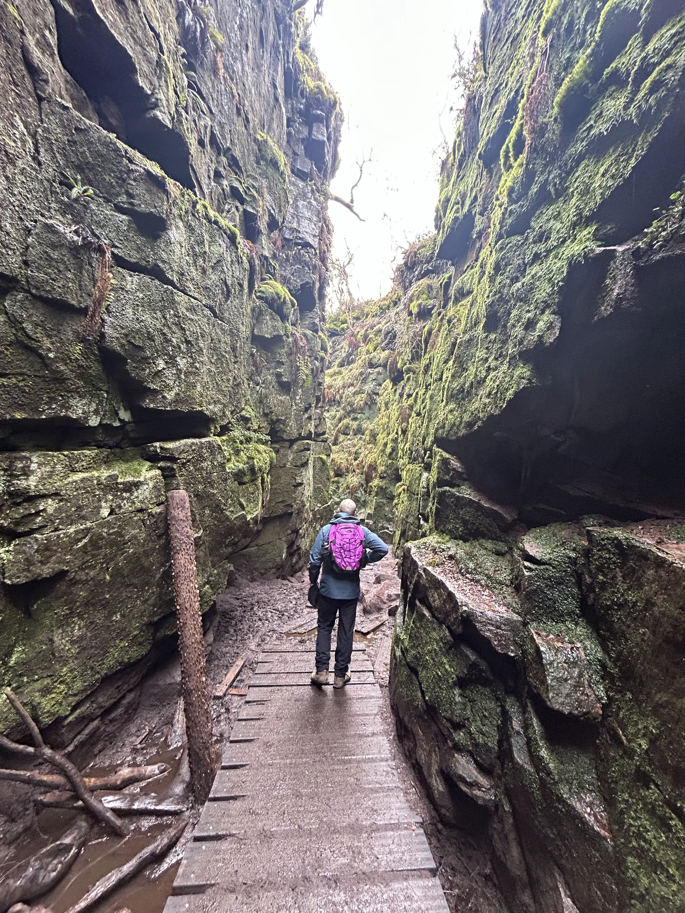
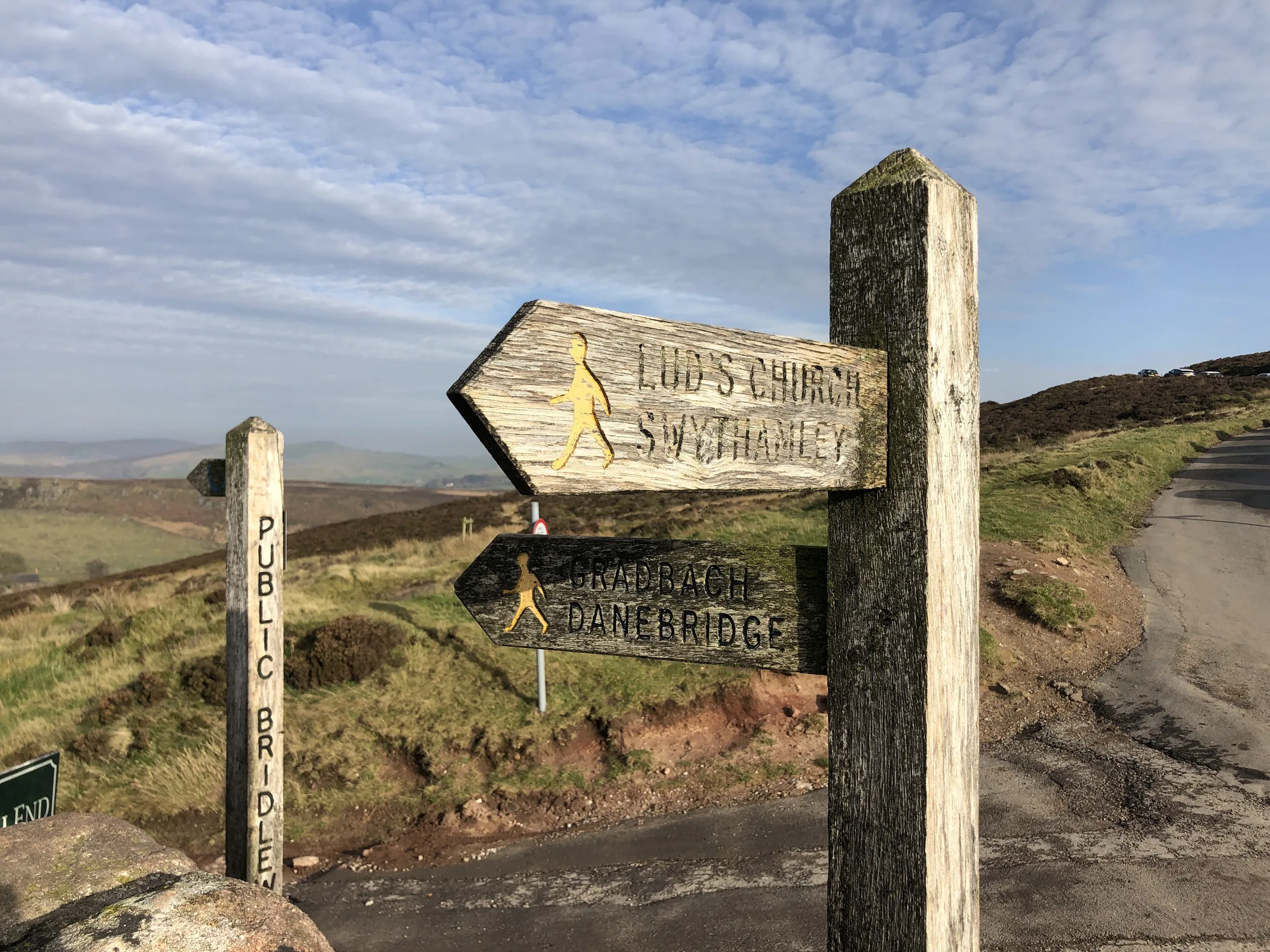
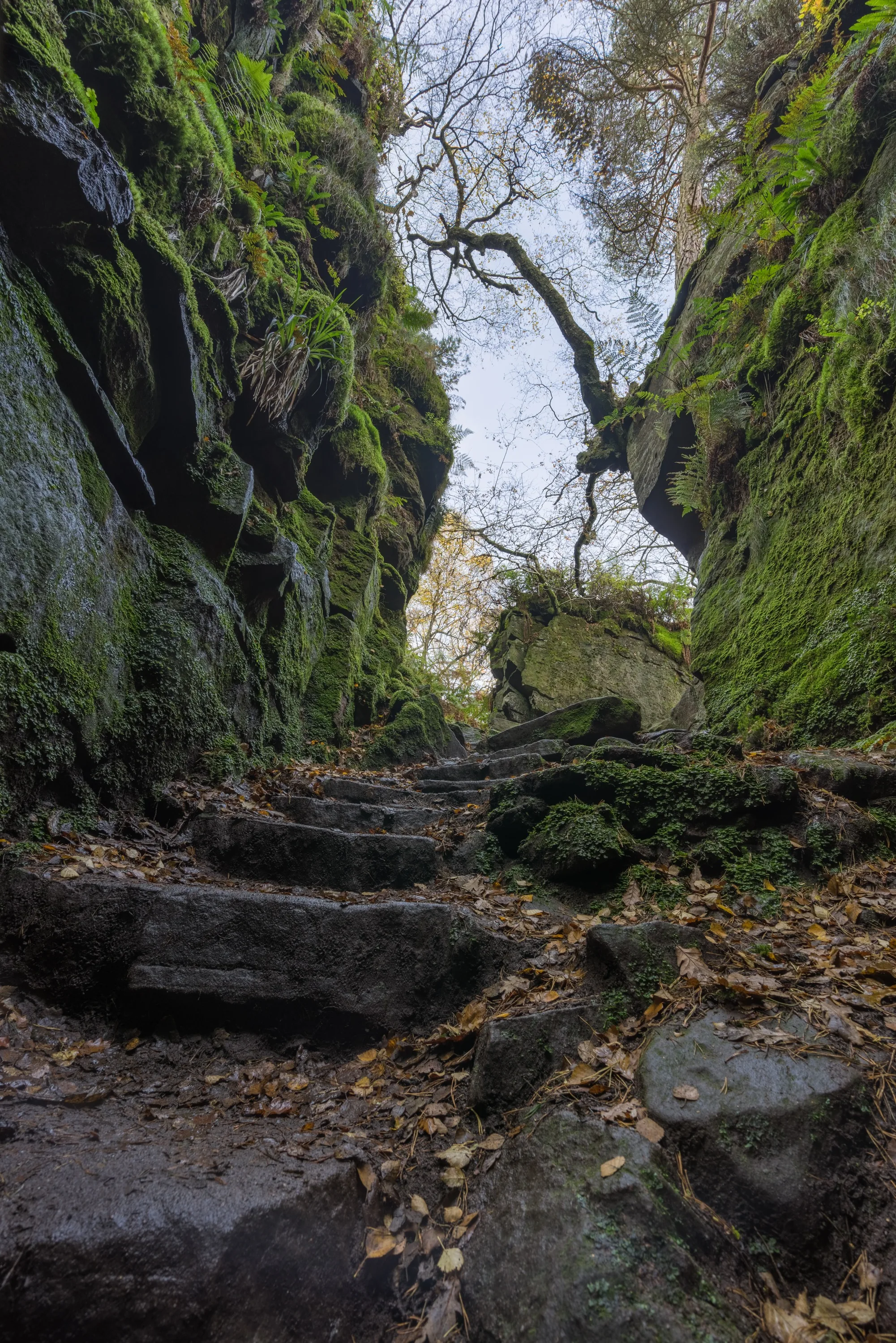
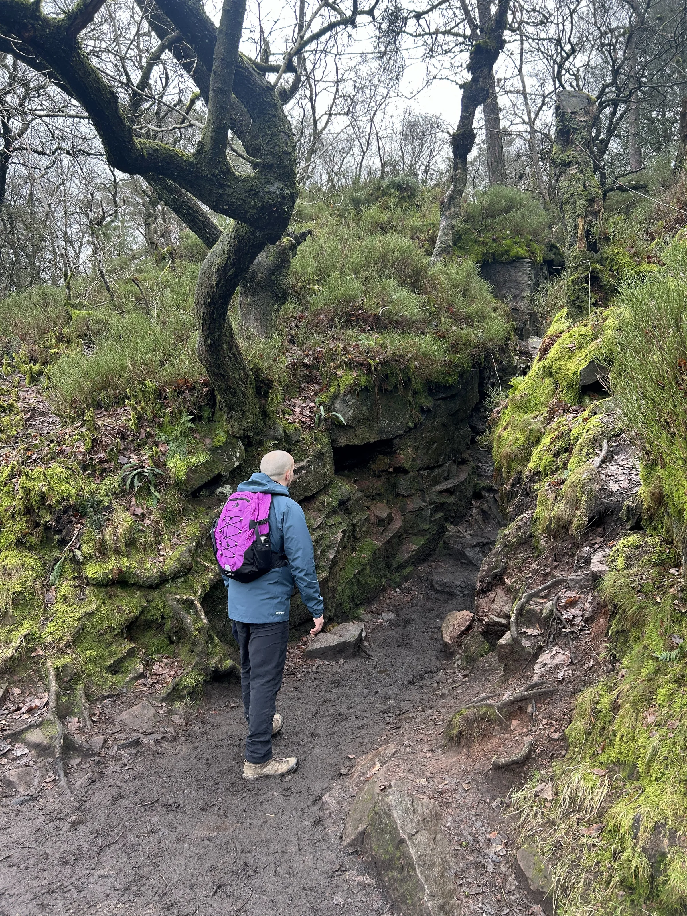
Through the woods to Lud's Church0.9 mi · 35m up · 40m downJoin the bridleway at the bottom and turn right, heading east through the trees above the River Dane. Follow the signs to Lud's Church and walk through the chasm. It's wet, muddy and slippery underfoot, so take care on the rocks and steps.
- 6
Back to Roach End0.9 mi · 80m up · 10m downLeave the chasm and follow the signed path south-east along the lower slopes, climbing gently out of the woods and back up to the lane at Roach End.
- 7
Lane below the crags1.7 mi · 25m up · 85m downFollow the lane south-east, below the crags you walked along earlier, back to the lay-bys.
Use the route on OS Maps, AllTrails or Komoot to navigate on the day; this guide is for planning.
Parking
There's no car park for the Roaches. Instead, free lay-bys run for over half a mile along Roach Road below the crags, and the walk starts from the ones near Rockhall (ST13 8UA, but the postcode covers a wide area, so use the map directions above). Park only in the marked bays and don't block gates or driveways: wardens patrol every day, including bank holidays, and cars on the verges get tickets. It's often very busy, especially at weekends, so aim to arrive by about 9AM. When the lay-bys are full, the farm at the Roaches Tea Rooms sometimes opens a field for all-day parking for a small fee. There are no public toilets.
Facilities & Hospitality
A pub a short way down the road in Upper Hulme. Food is served from 12PM to 8PM Tuesday to Saturday and 12PM to 6:30PM on Sunday, and it's closed on Mondays, so check before you go.
A pub on the A53 at Upper Hulme, a few minutes' drive away, named after the face-shaped rock on nearby Ramshaw Rocks. It's closed on Mondays; food times vary through the week, so check before you go.
Weather
Hike Videos
Note: Videos are made by other walkers, not The Lost Peak. They may not follow this exact route, and paths, conditions and facilities may have changed since filming.
Photo Gallery
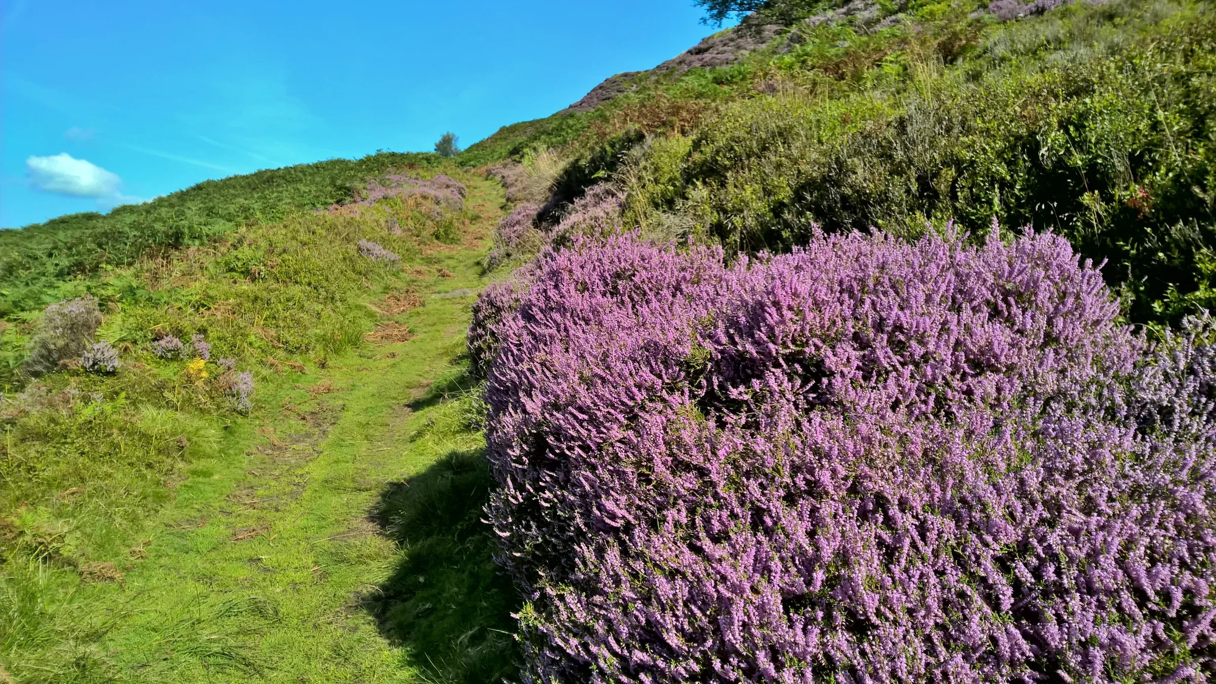
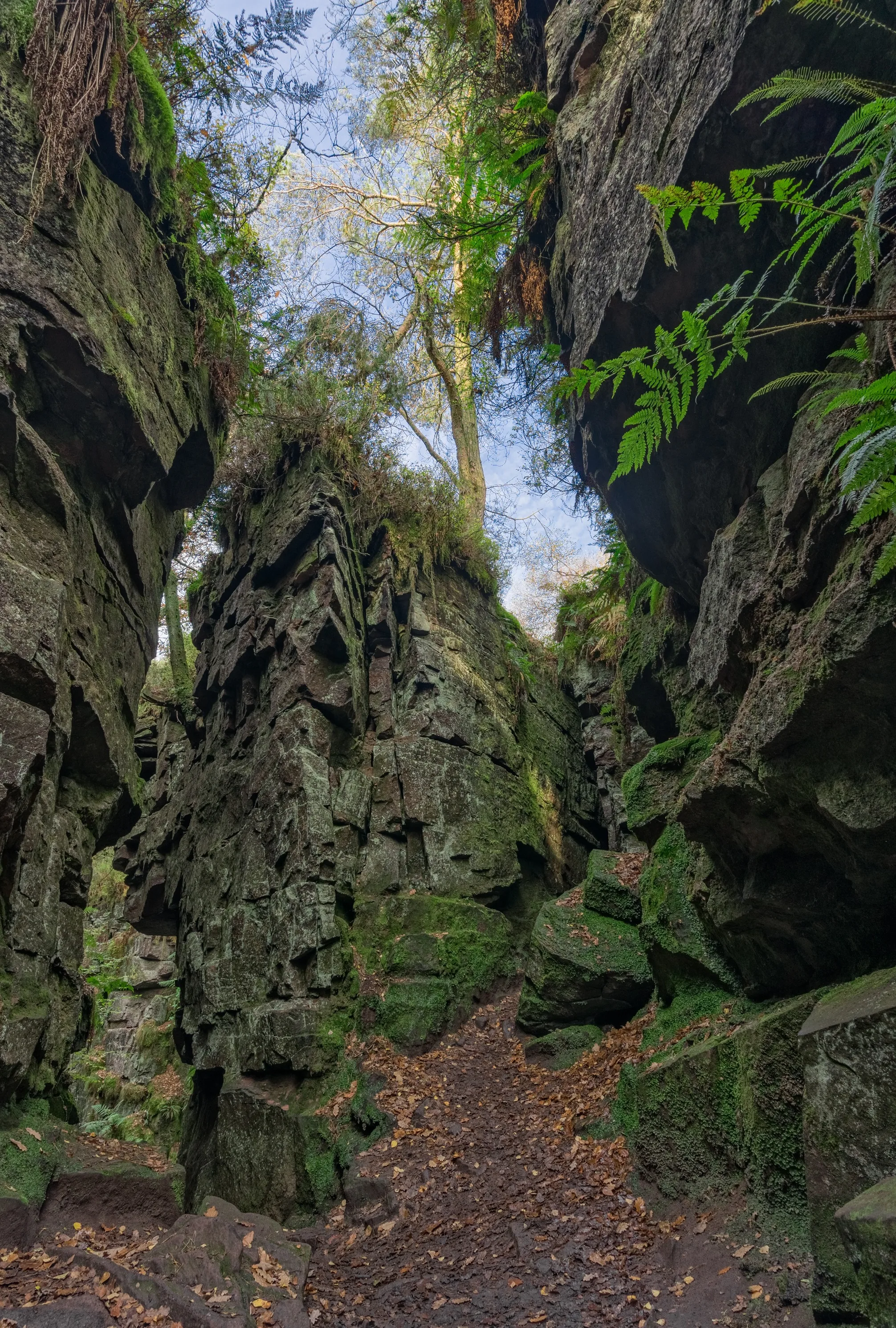
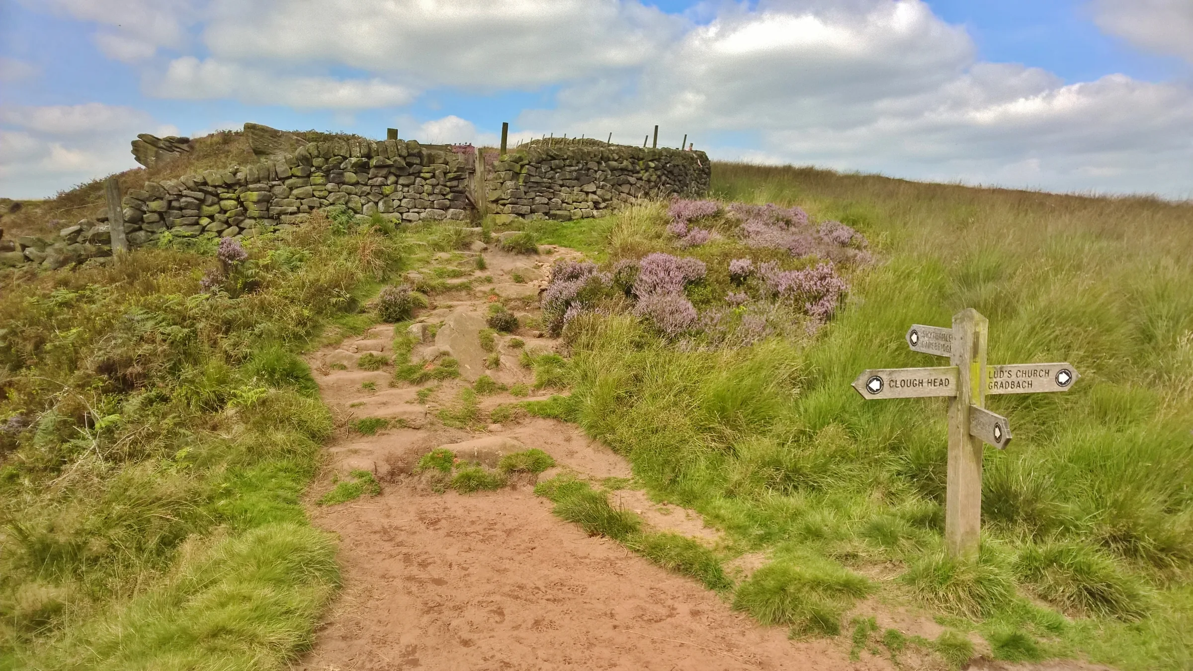
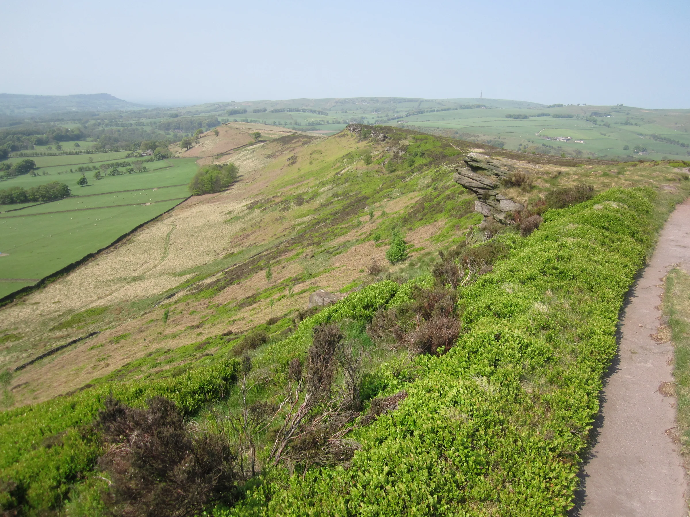
Photos
Photo credits
Photos without a credit are our own. These are used under Creative Commons licences; thank you to the photographers.
 Sandstone boulders perched on the Western edge of The Roachesby Dr Duncan Pepper, Wikimedia Commons (Geograph)Original photoCC BY-SA 2.0 licence
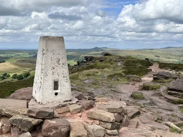 The summit of the Roachesby John H Darch, Wikimedia Commons (Geograph)Original photoCC BY-SA 2.0 licence
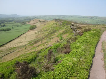
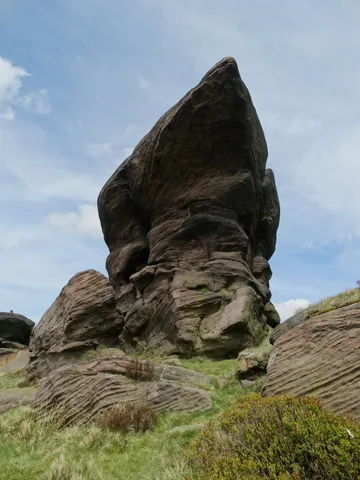 Outcrop near Roach Endby Neil Theasby, Wikimedia Commons (Geograph)Original photoCC BY-SA 2.0 licence
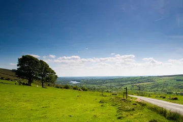 Broad horizons, Roach Endby Chris Denny, Wikimedia Commons (Geograph)Original photoCC BY-SA 2.0 licence
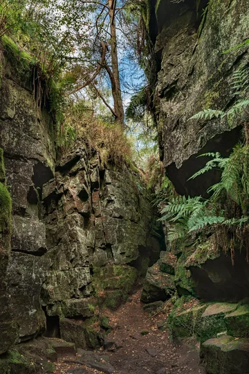
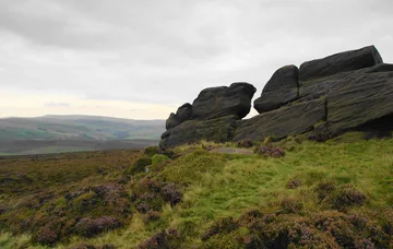 Rock outcrop at Roach Endby Bill Boaden, Wikimedia Commons (Geograph)Original photoCC BY-SA 2.0 licence
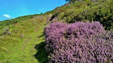 Track below The Roachesby Chris Morgan, Wikimedia Commons (Geograph)Original photoCC BY-SA 2.0 licence
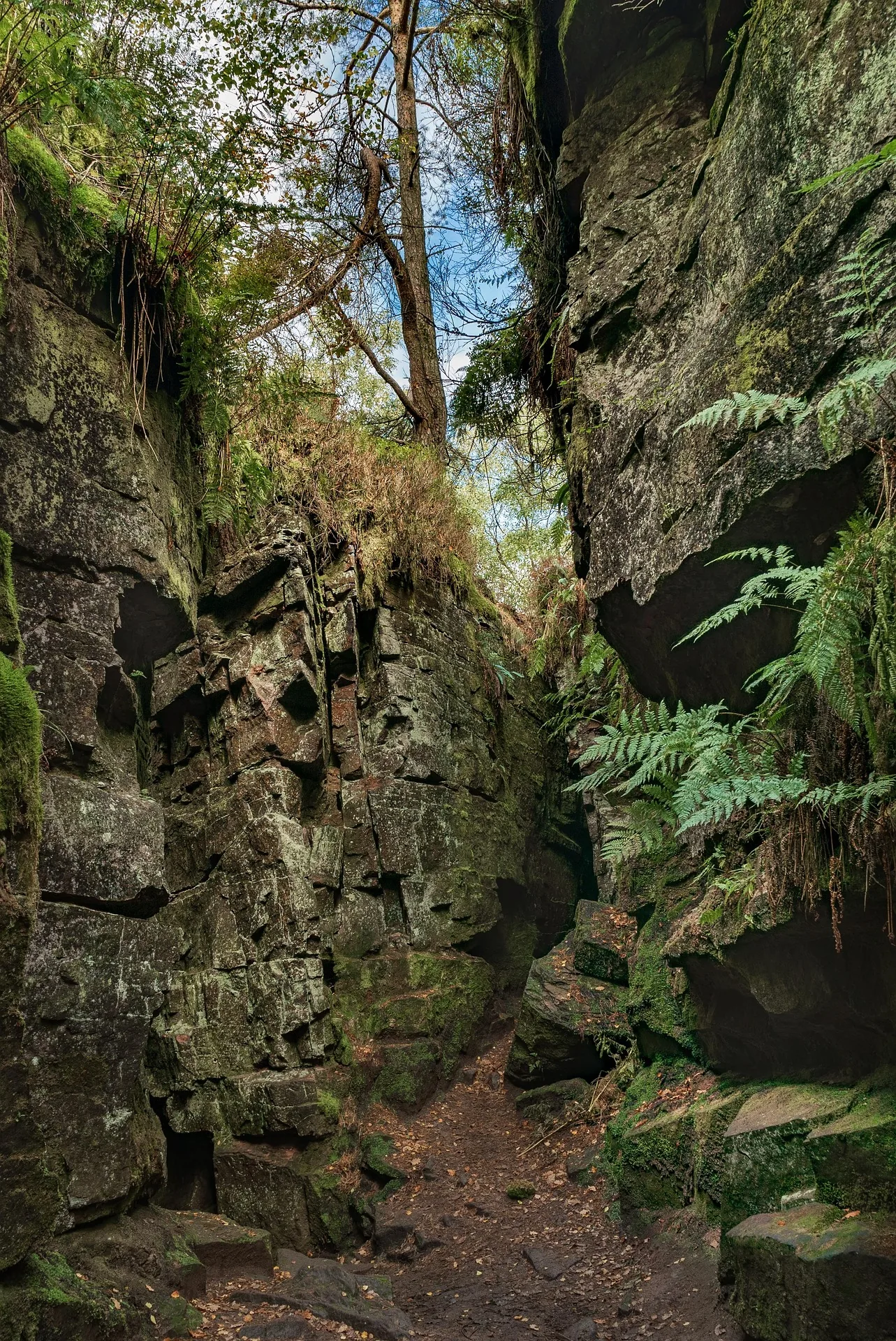
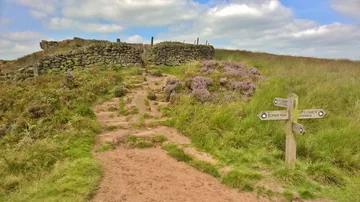 Path's cross above Lud's Churchby Chris Morgan, Wikimedia Commons (Geograph)Original photoCC BY-SA 2.0 licence
Hints & Tips
Marked Bays Only
Park only in the marked bays in the lay-bys on Roach Road. Parking wardens patrol every day, including bank holidays, and cars left on the verges get tickets. The road fills up quickly at weekends, so aim to arrive by about 9AM.
Slippery in the Chasm
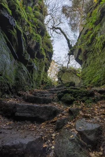
Lud's Church stays wet and cool even on the hottest days, and the steps down into it are often muddy. Wear boots with good grip, and please don't climb on the walls: climbing is discouraged here to protect the mosses and other small plants growing on the damp rock.
Peregrine Season
Peregrine falcons nest on the crags. In the nesting season, parts of the rock can be closed to protect them, sometimes at short notice, so follow any signs on site.
Add Hen Cloud
Hen Cloud, the separate crag at the southern end of the ridge, is close to the lay-bys and makes a steep extra climb at the start or end. Longer loops from here also take in Ramshaw Rocks.
Interesting Facts
General
Named After the Rocks
The Roaches take their name from the French les roches, the rocks, and the coarse sandstone they are made of is known to geologists as the Roaches Grit
A Pool with a Legend
Doxey Pool, beside the top path, is said to be home to a water spirit known as the blue nymph, who lures walkers down to a watery grave
A Hut for Climbers
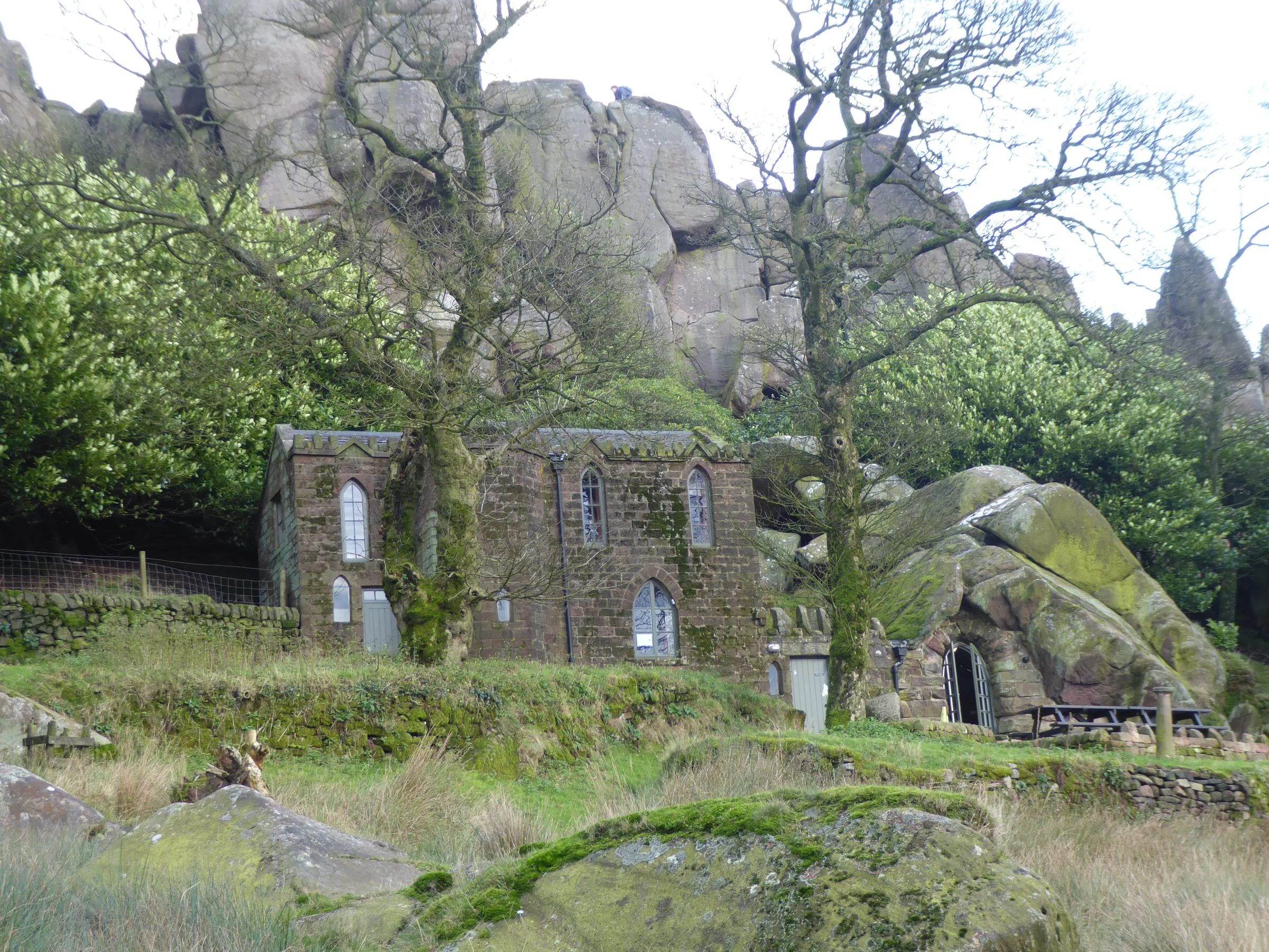
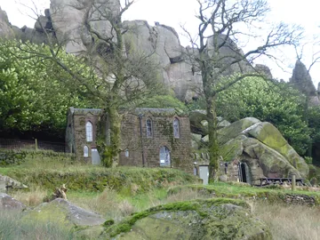
Rockhall, a gamekeeper's cottage built in 1862 around an old cave, opened in 1993 as the Don Whillans Memorial Hut, named after the climber who first met Joe Brown at the Roaches
Falcons on the Crags
In 2008 a pair of peregrine falcons bred on the Roaches, and climbing on part of the rock was stopped for a time to protect them
Wallabies of the Roaches
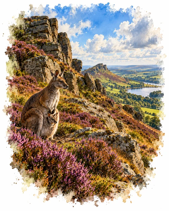
In the 1930s, Henry Courtney Brocklehurst of Swythamley Hall, a fellow of the Zoological Society of London, kept a private zoo on his family's estate, which then included the Roaches. Alongside yaks, llamas and nilgai antelope, he had a handful of Bennett's wallabies, a Tasmanian kind of red-necked wallaby, which came from Whipsnade Zoo.
During the Second World War the zoo had to be given up, and the animals were let loose on the moors. The yaks hung on for a while, and one lived on alone into the 1950s, but the wallabies did far better than anyone expected. Living on heather in winter and grass in summer, the colony grew to around 50 animals at its peak, and they were seen all over the Roaches, Back Forest and the woods around Lud's Church.
Life was hard for them, though. The bitter winter of 1962 to 1963 killed many, and 13 dead wallabies were found behind the wall of the wood at Rock Hall. Cars, dogs, falls from the crags and later hard winters took more. The zoologist Derek Yalden, who followed the colony for 40 years from 1969, recorded the last male dying in February 1996, and the last sign he found was a few droppings in 2009. People still report the odd sighting, but the wallabies of the Roaches are probably gone.
The Secret Church in the Woods
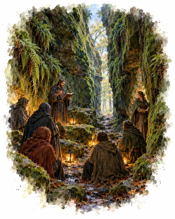
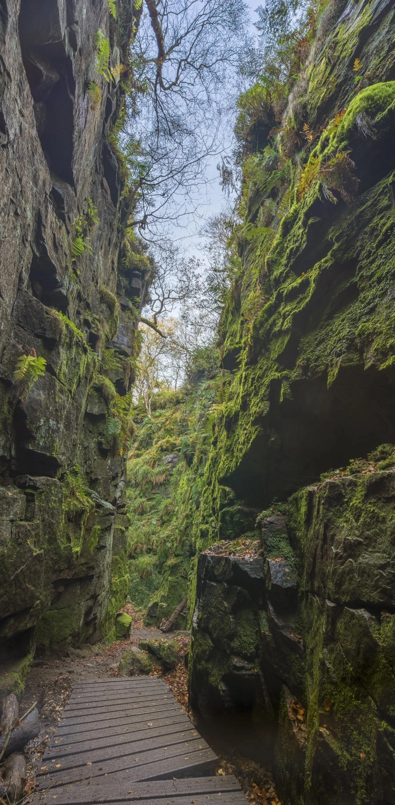
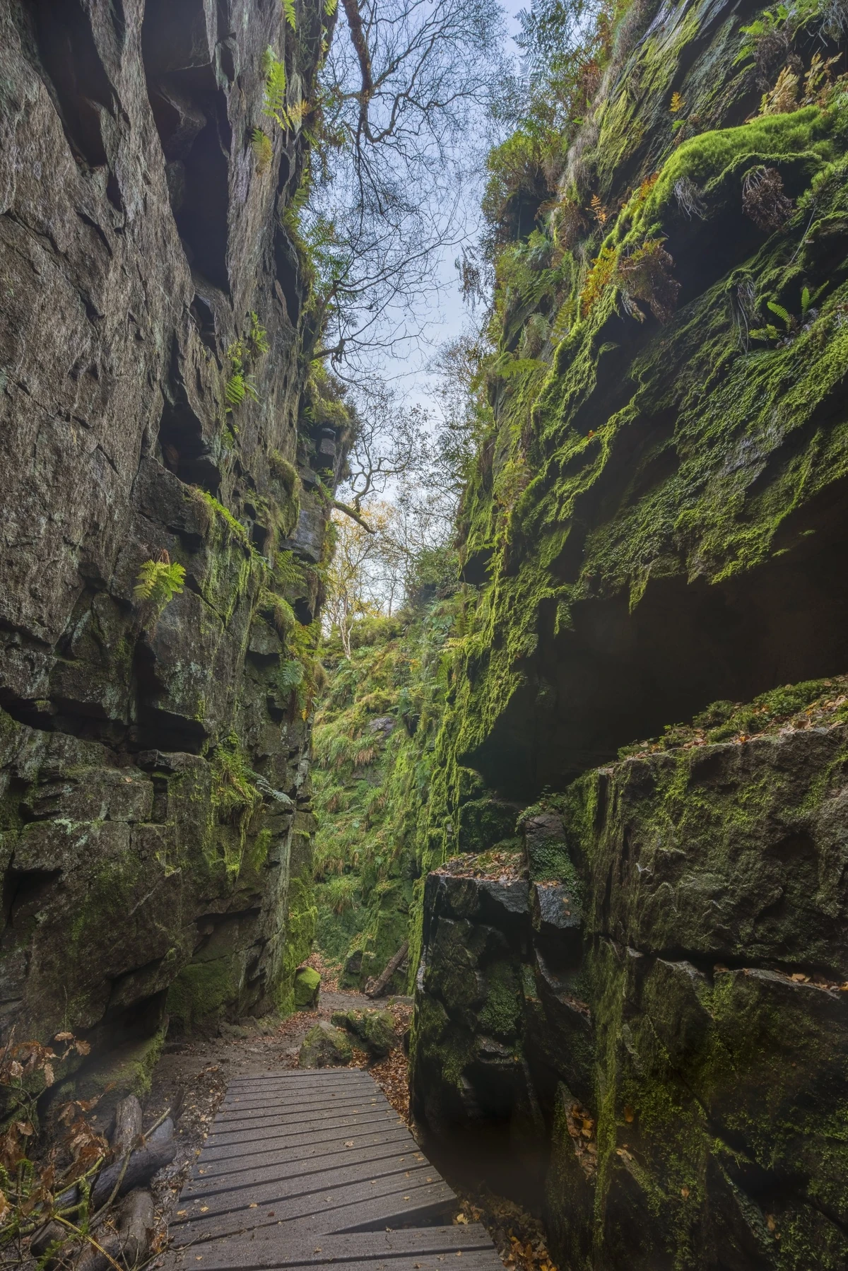
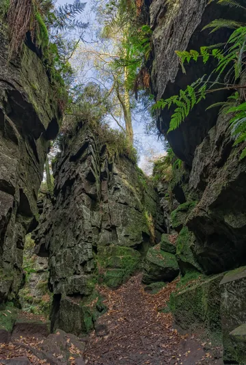
Lud's Church isn't a building at all. It's a narrow rift more than 100m long and about 18m deep, formed when a huge block of the Roaches Grit slid downhill towards the River Dane and left a gap behind it. Nobody knows exactly when it moved, but geologists think it was probably after the last ice age. Moss and ferns now cover the walls, and the chasm stays wet and cool even in high summer.
The name comes with a story. The Lollards, followers of the church reformer John Wycliffe, were persecuted for their beliefs, and in the early 1400s they are said to have met here in secret to worship. One of them, Walter de Lud-Auk (also written Ludank), is supposed to have been captured at a meeting, and the chasm may be named after him. A later version of the tale, written down by Philip Brocklehurst of nearby Swythamley in 1874, tells of a young woman called Alice who was fatally wounded when soldiers broke up a service. Around 1862 the Brocklehursts placed a ship's figurehead in a niche high above the chasm in her memory. Known as Lady Lud, it stayed there for the best part of a century before it fell and rotted away.
Lud's Church has also been linked to one of the great poems of the Middle Ages. Sir Gawain and the Green Knight was written in the dialect of the north-west Midlands, and in 1958 the scholar R. W. V. Elliott suggested in The Times that this chasm was the Green Chapel, where Gawain goes to face the Green Knight's axe. The poet Simon Armitage later said he thought it had to be the place. Local historians point out that there's no proof for either the Lollard story or the Green Chapel, but standing in the cold green gloom of the rift, it's easy to see why both legends stuck.
More Hikes
 ModerateThe Crashed Plane3.7 mi · 2–3 hrs · 145m
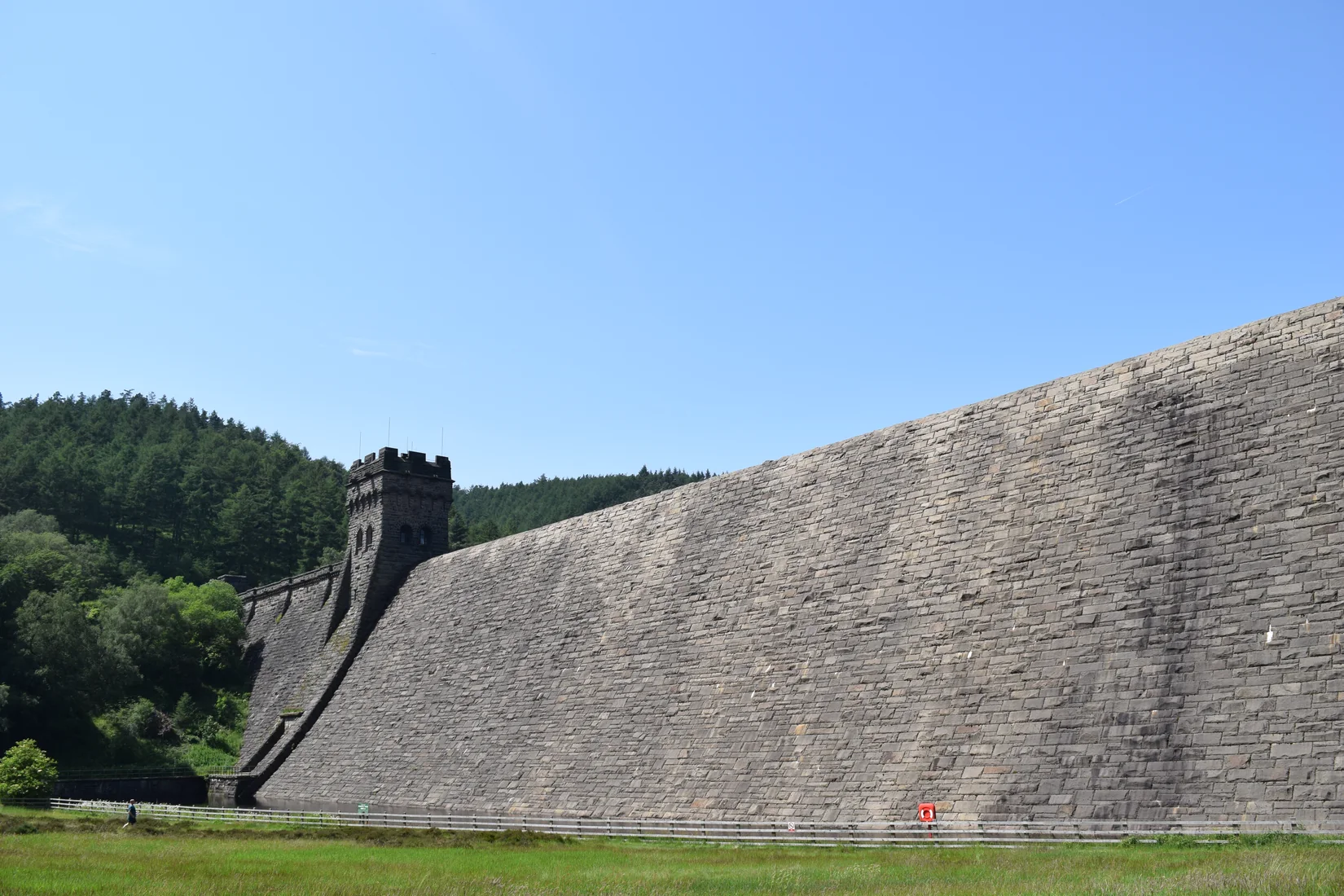 ModerateDerwent Edge7.5 mi · 3–4 hrs · 367m
 HardKinder Scout9.4 mi · 4–6 hrs · 635m
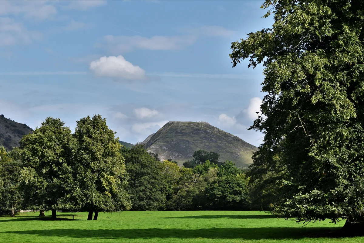 ModerateDovedale & Thorpe Cloud6.8 mi · 3½–4½ hrs · 476m
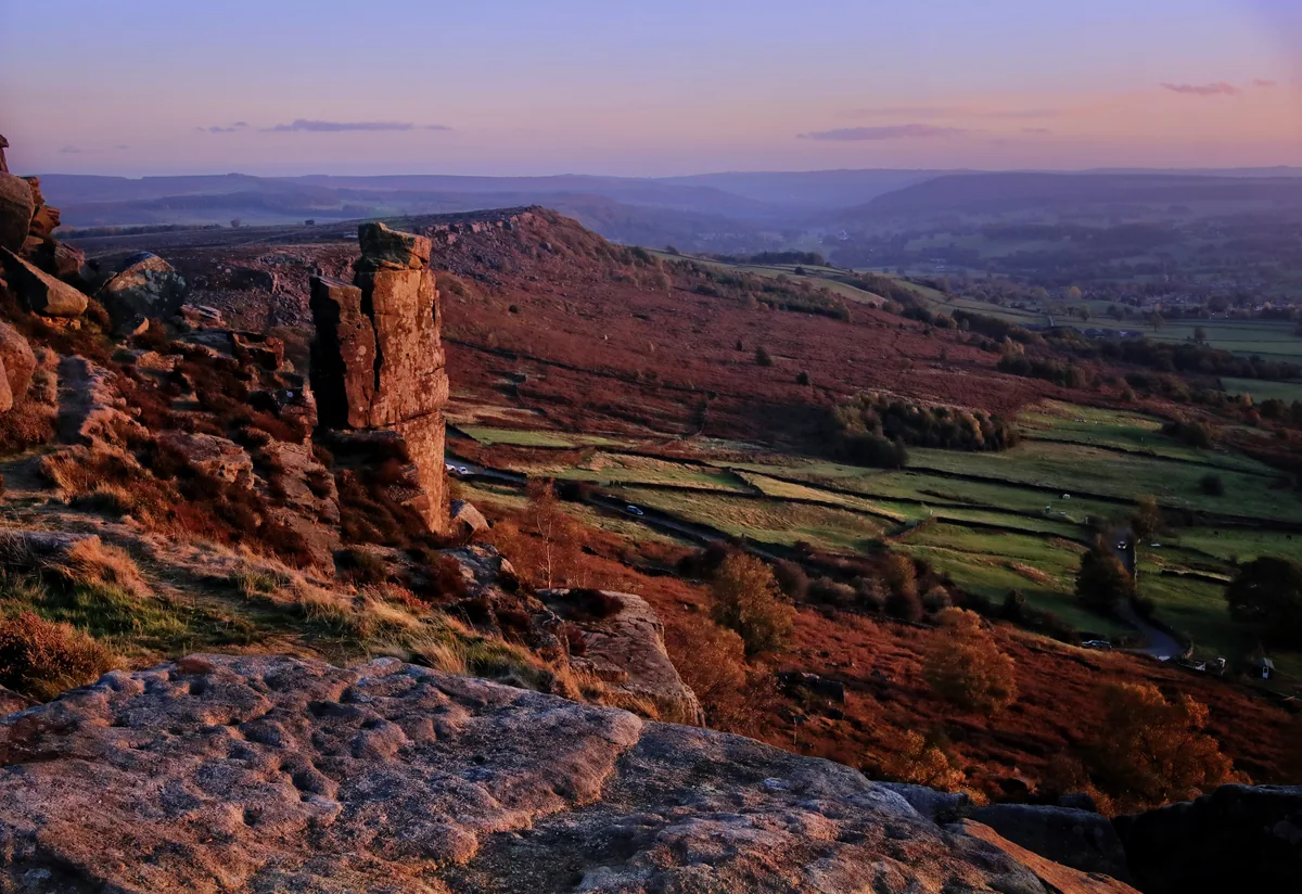 EasyCurbar & Froggatt Edges5.8 mi · 2½–3½ hrs · 252m
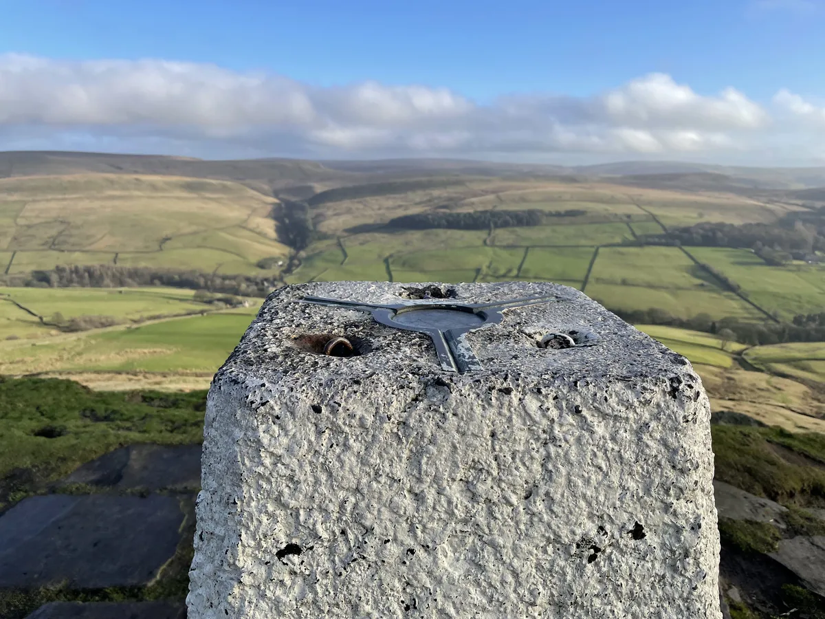 ModerateShutlingsloe6.4 mi · 3–4 hrs · 429m
Subscribe for updates on new hikes and National Parks
One email a month with new hikes and routes. No spam.