



Contents
Overview
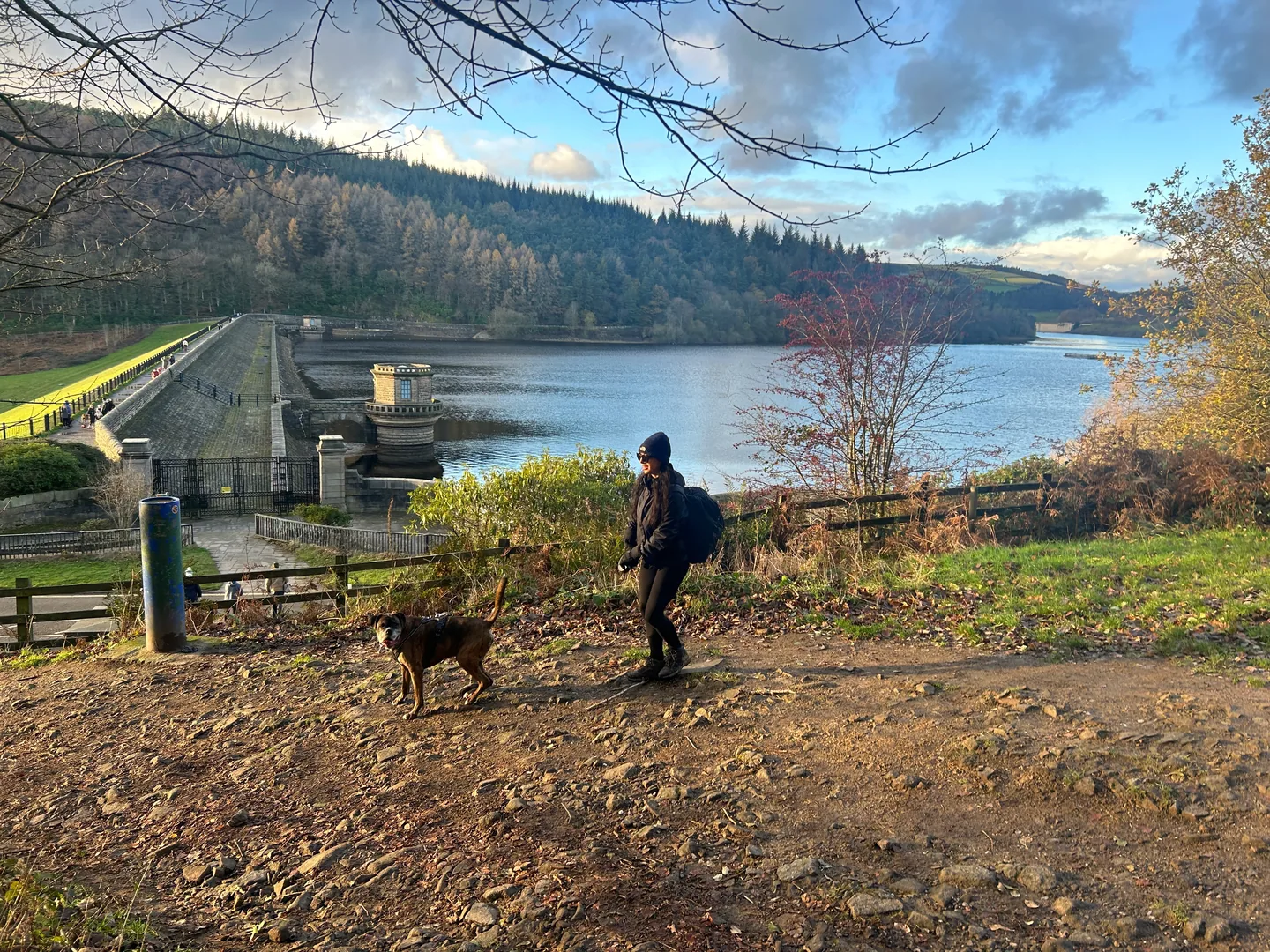
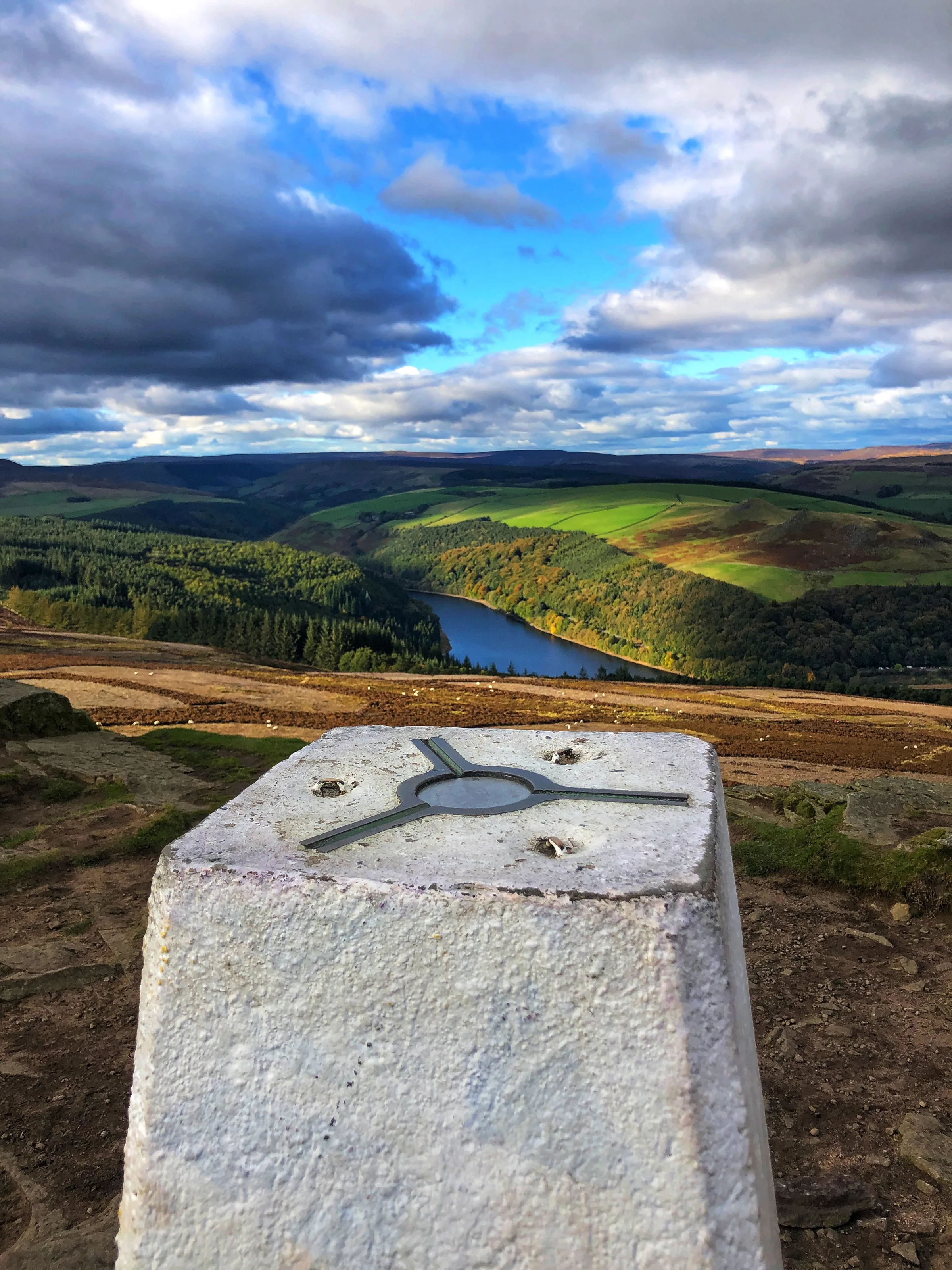
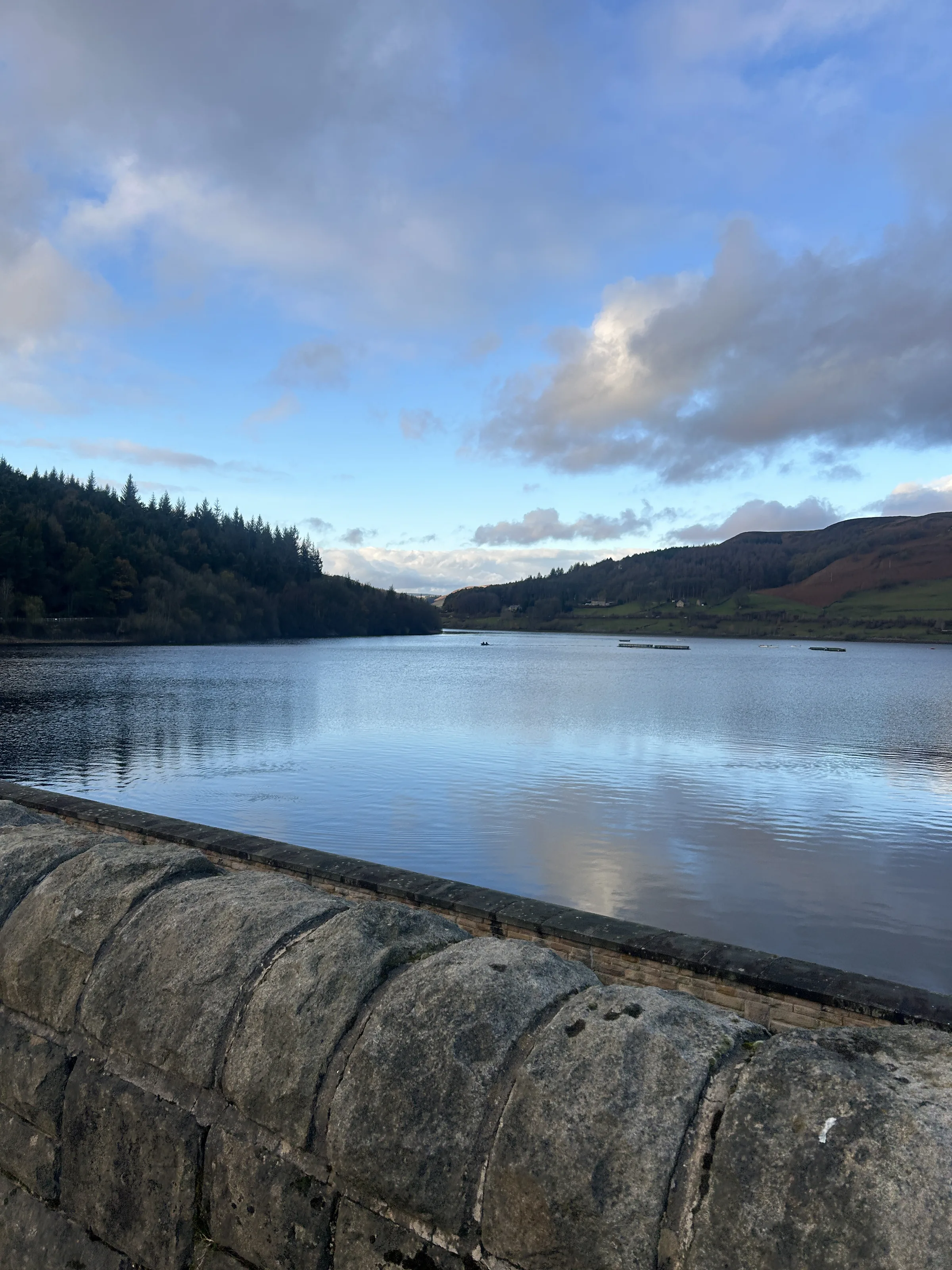
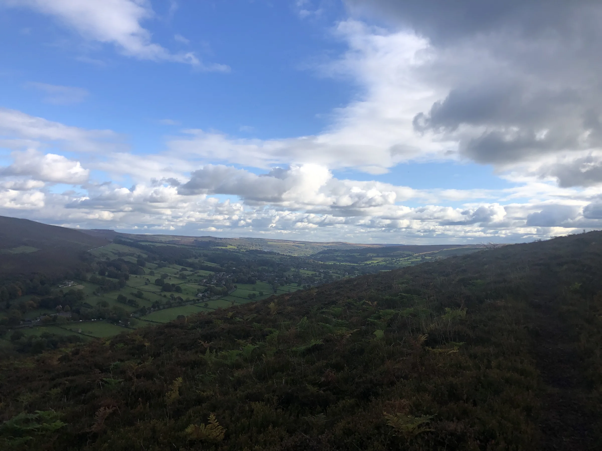
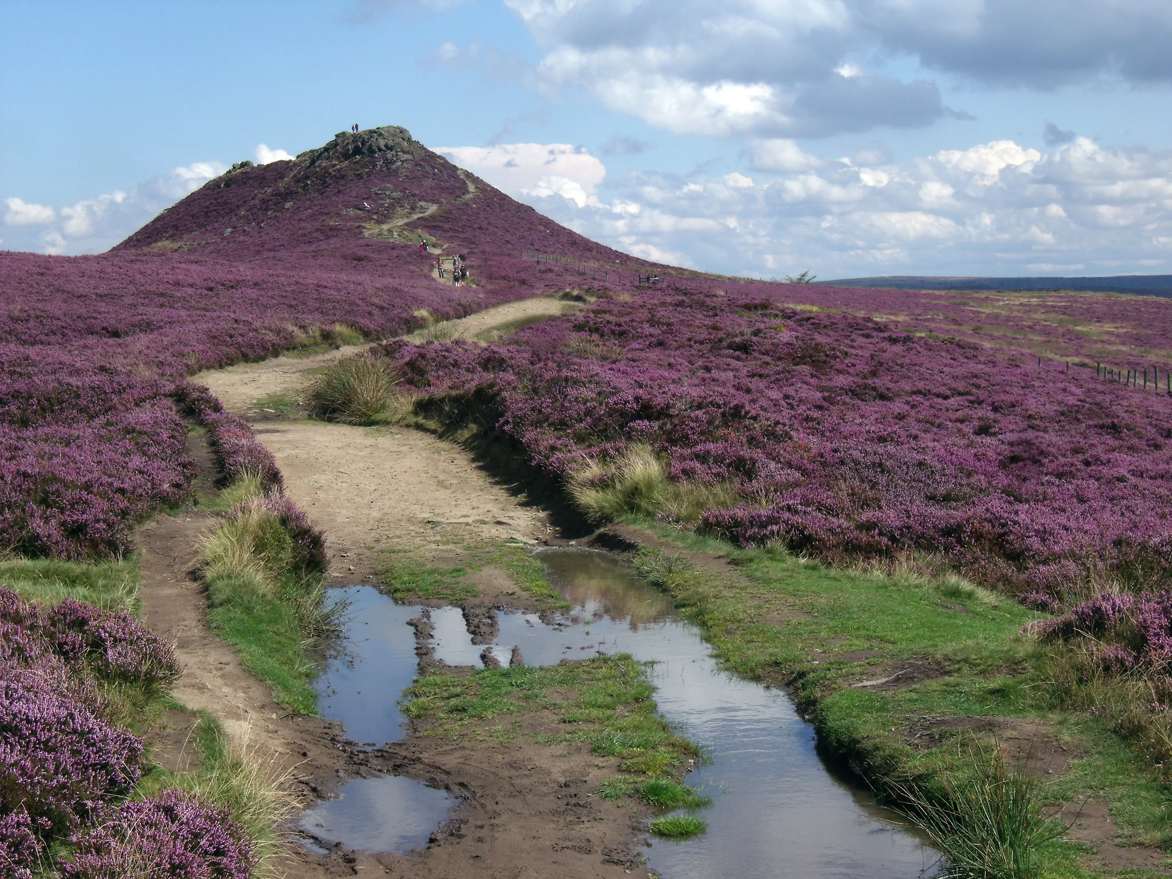
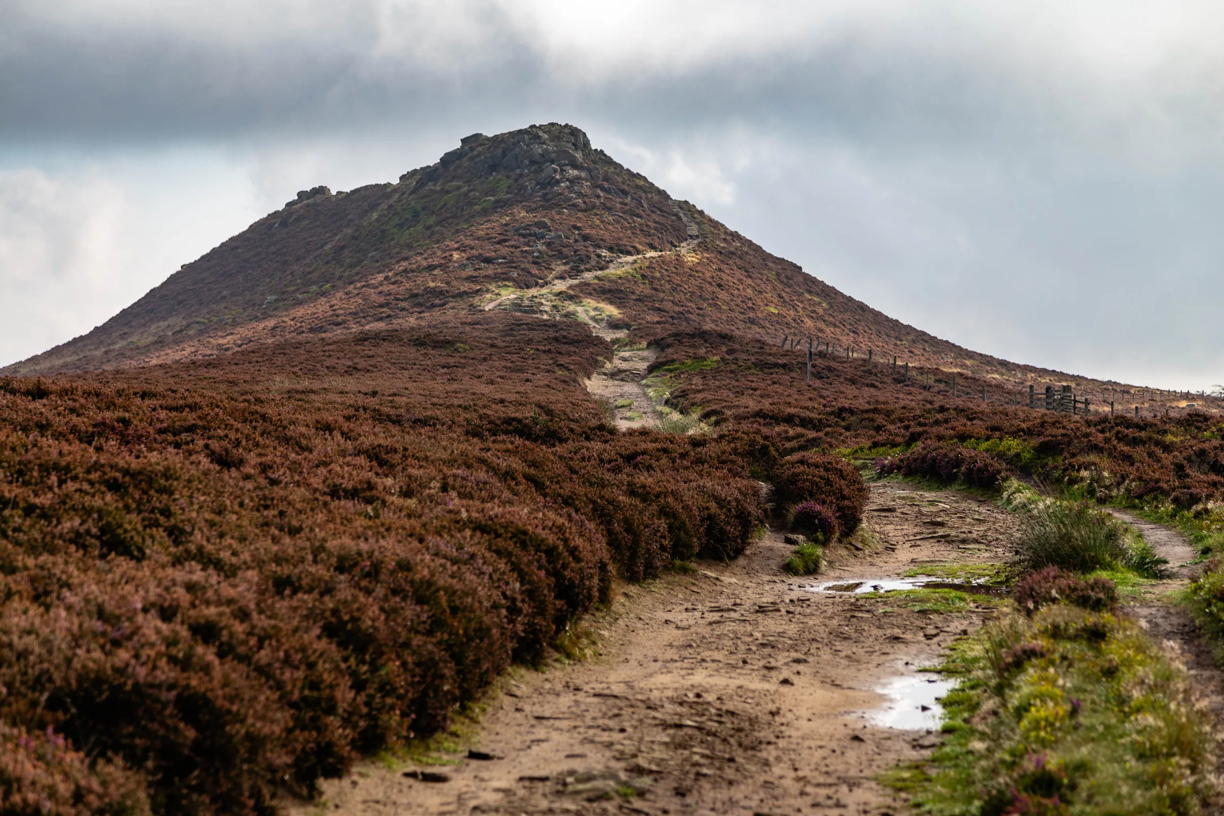
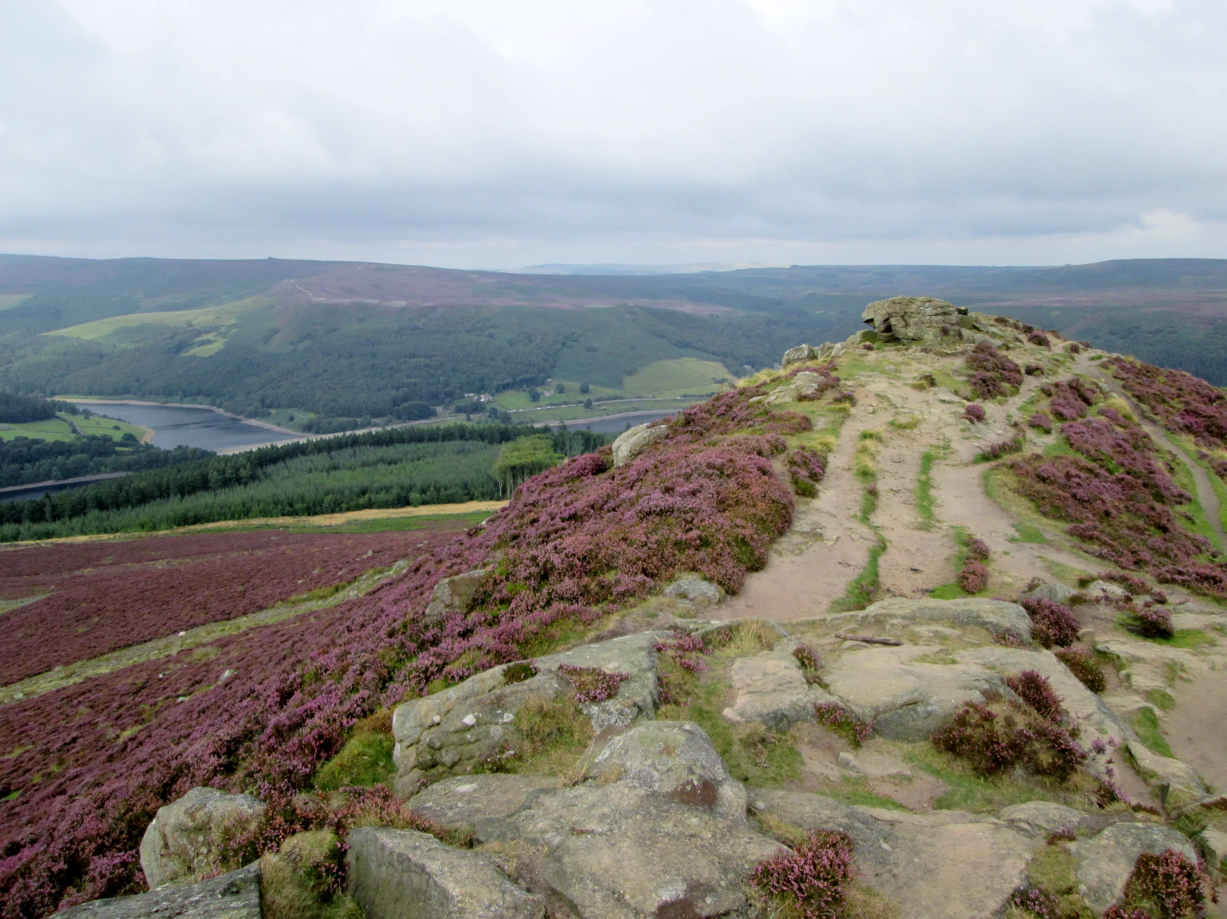
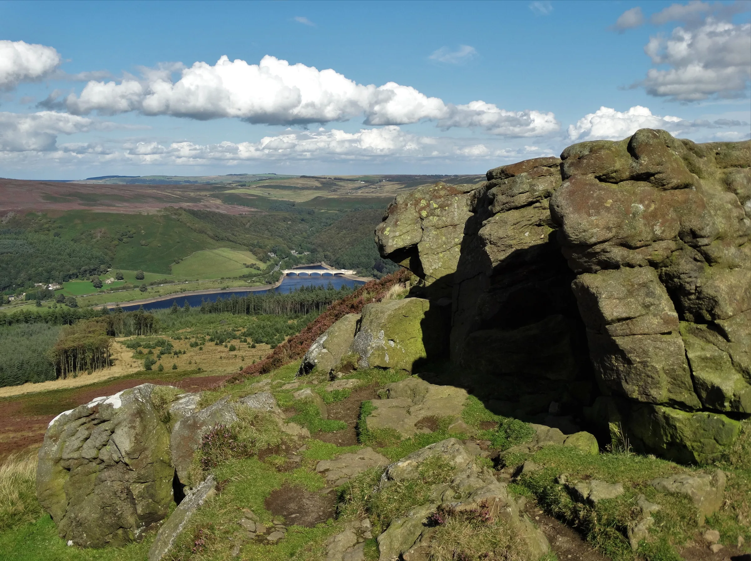
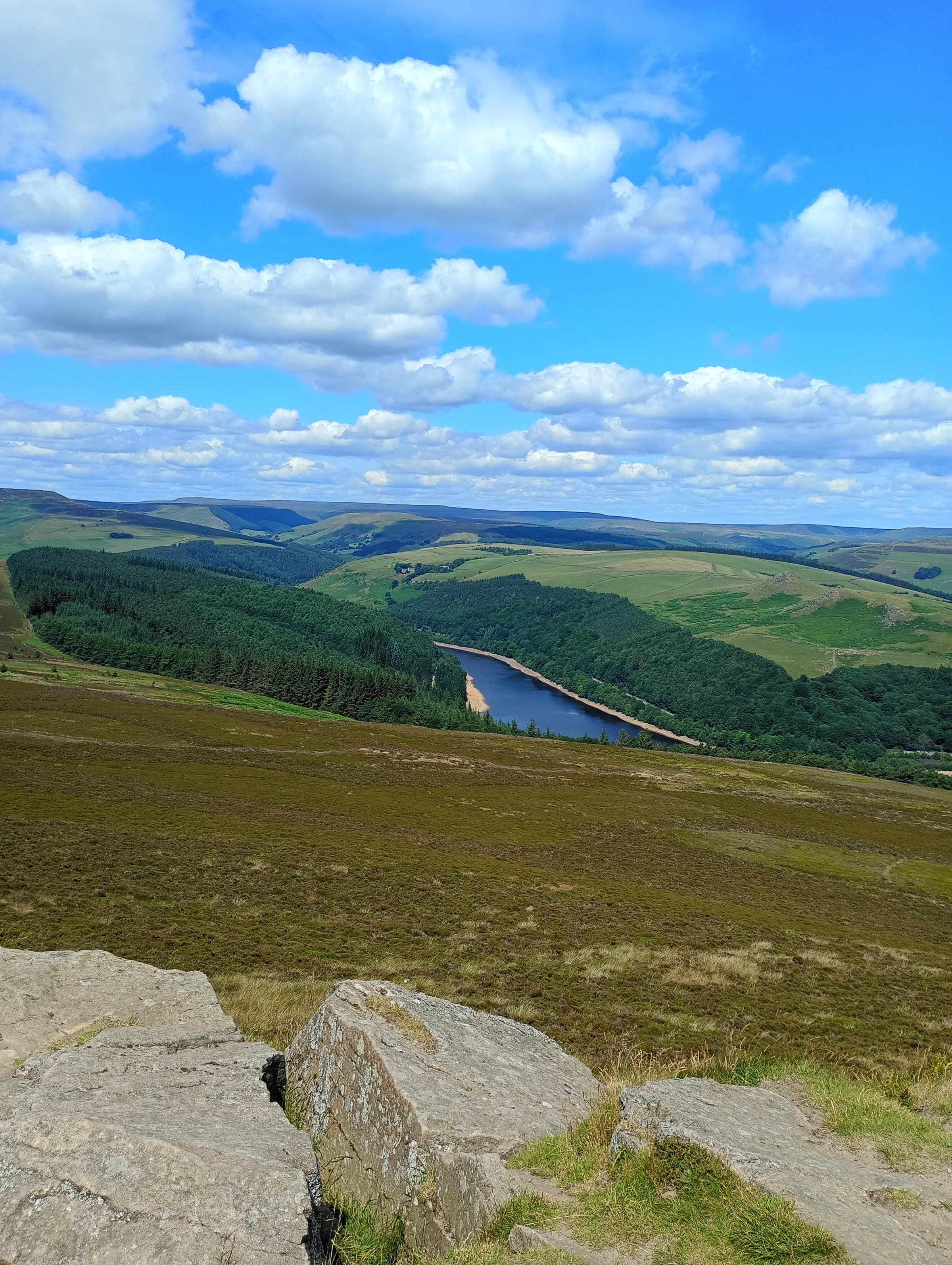
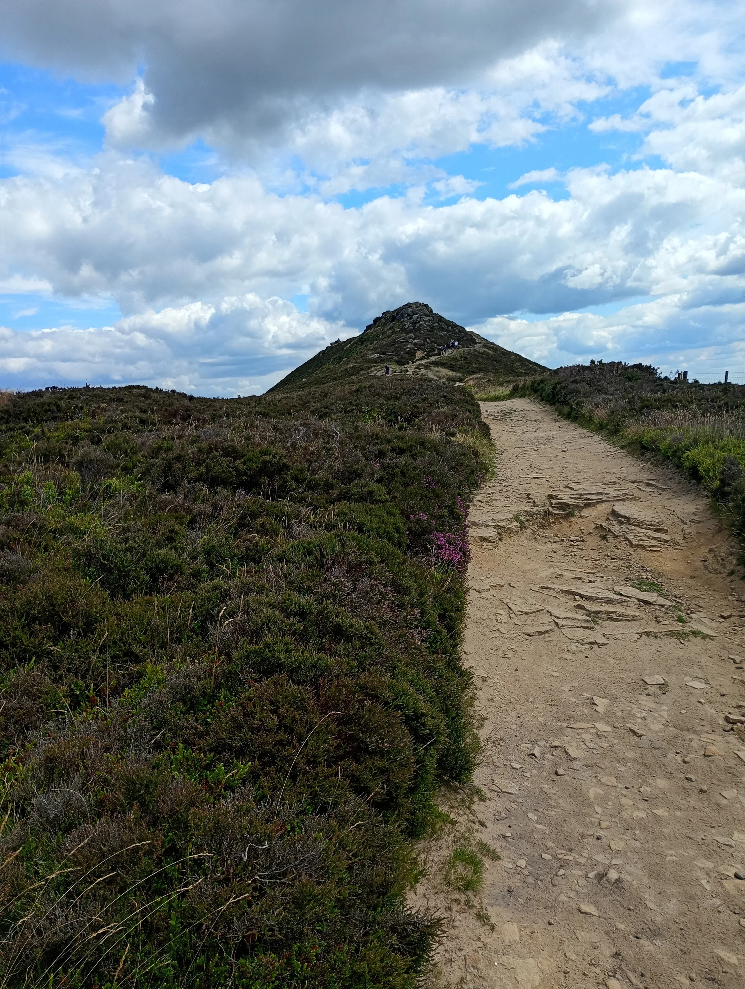
Locals call it the Pimple, the rocky knob on top of Win Hill. It's a short, steep climb to 463m, and the reward is Ladybower Reservoir spread out below and Lose Hill staring back across the Hope Valley. Why one hill "won" and the other "lost" is a story in itself (see Interesting Facts).
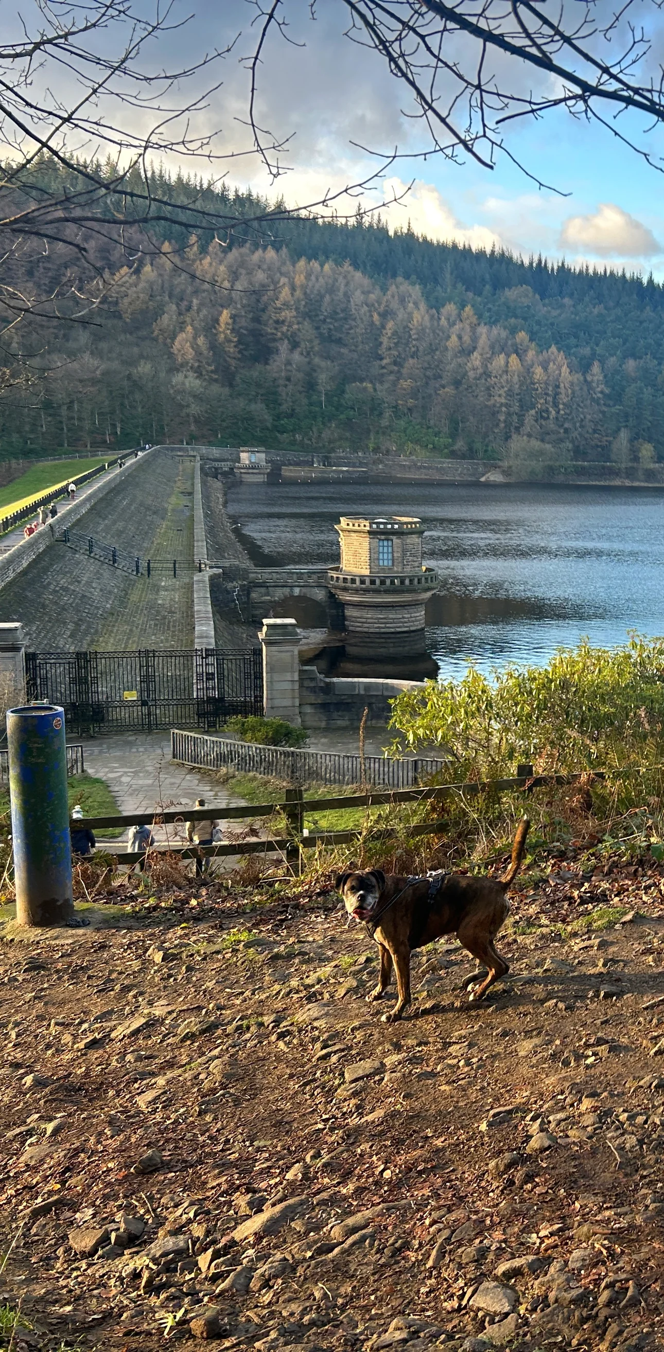
This is the short, steep way up. From Heatherdene car park you walk south beside the A6013, past the end of Ladybower Dam and the Yorkshire Bridge Inn, then drop down Lydgate Lane and cross the River Derwent on the old packhorse bridge. A few hundred metres on the Thornhill Trail lead to the foot of Parkin Clough, where steps and a steep path climb through the woods and onto open moor, reaching the trig point on the summit after about two miles. You then follow the ridge west with Lose Hill on your left, drop back into the forest and wind gently down on paths and tracks above the reservoir, crossing the top of Ladybower Dam past its two famous plugholes before the short walk back to the car park. This walk takes in one of the Peak District's Ethels: Win Hill. Find all 95 on our Ethels map.
Go prepared, stay safe,
and enjoy the hike!
Key Info
Crowds
High
Win Hill starts from Heatherdene by Ladybower Reservoir, a very popular spot where the car park fills quickly at weekends and in the summer holidays. The busiest part is across the dam and up to the summit. Like most popular Peak District hills, it is usually quieter on weekdays and later in the day.
When it gets busy
- Weekends and the summer holidays, when Heatherdene car park fills up quickly
- The lay-by outside Heatherdene, which is usually full
- The section across the dam and up to the summit
For a quieter walk
- Arrive early at weekends to be sure of a space
- Go on a weekday if you can
- Like most popular Peak District hills, the summit is usually quieter later in the day, but Heatherdene is only open in daylight hours, so leave time to get back
- If Heatherdene is full, the A57 lay-by is about 15 minutes' walk from the start
- The 257 bus from Sheffield stops right outside Heatherdene
Our crowd rating is for a typical sunny weekend in spring or summer, in the middle of the day. Timing makes a big difference, so even a busy walk can be quiet early, late or midweek.
The Route
Disclaimer: Route information and GPX files are provided for general guidance only. Conditions can change, so always use your own judgement and navigate responsibly. See our Terms of Use & Disclaimer for more information.
Route Guide
- 1
South to Yorkshire Bridge1.0 mi · 15m up · 55m downFrom the northern end of Heatherdene car park, follow the path south beside the A6013, past the eastern end of Ladybower Dam at about 0.4 miles and the Yorkshire Bridge Inn at 0.6 miles. Turn right down Lydgate Lane through the houses and, at the bottom, cross the River Derwent on Yorkshire Bridge, the old stone packhorse bridge.
- 2
Onto the Thornhill Trail0.3 mi · 30m upFollow the lane and path a short way south over the bridge, then turn sharp right onto the Thornhill Trail, an old railway line, and follow it north for a few hundred metres.
- 3
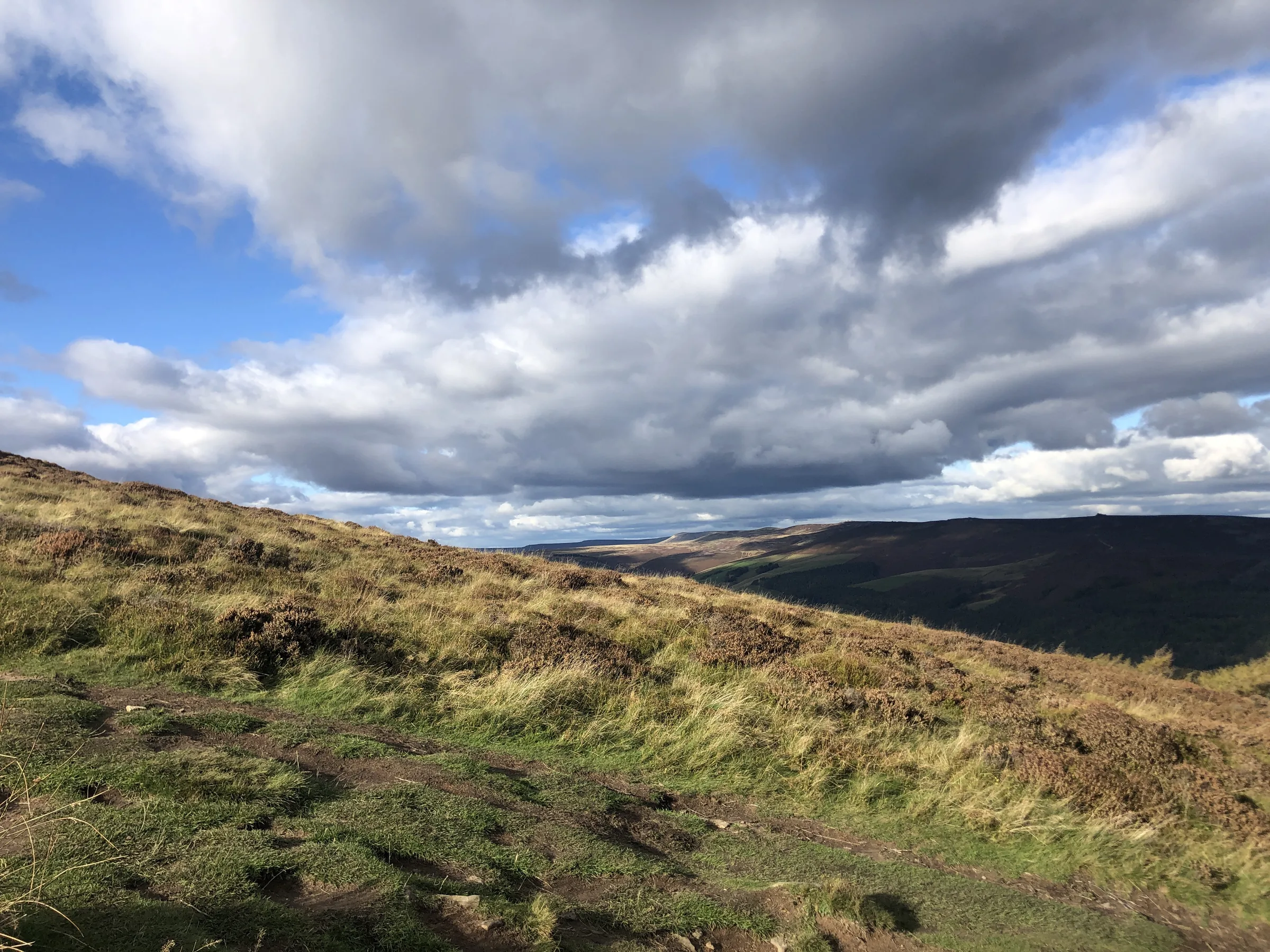
Up Parkin Clough0.8 mi · 250m up · 5m downTurn left off the trail and up the steps into Parkin Clough. This is the hard part: the path climbs about 245m in under a mile, first steeply through the woods on steps, rocks and roots, then over open moor to the trig point on Win Hill Pike.
- 4
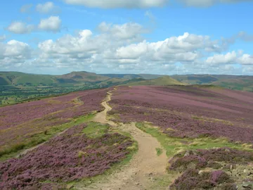
West Along the Ridge1.2 mi · 75m downFollow the broad path west from the summit, then north-west, dropping gently along the ridge with woods on your right and views over the Hope Valley to Lose Hill on your left. By the end of this stretch, at about the 3.3 mile mark, you have come down about 80m from the top.
- 5
Down Through the Forest2.3 mi · 55m up · 205m downTurn right off the ridge path and head north into the woods, then double back south-east onto the forest paths. From here it is gently downhill most of the way, on paths and tracks heading east through the trees above the reservoir, until you come down to the western end of Ladybower Dam.
- 6
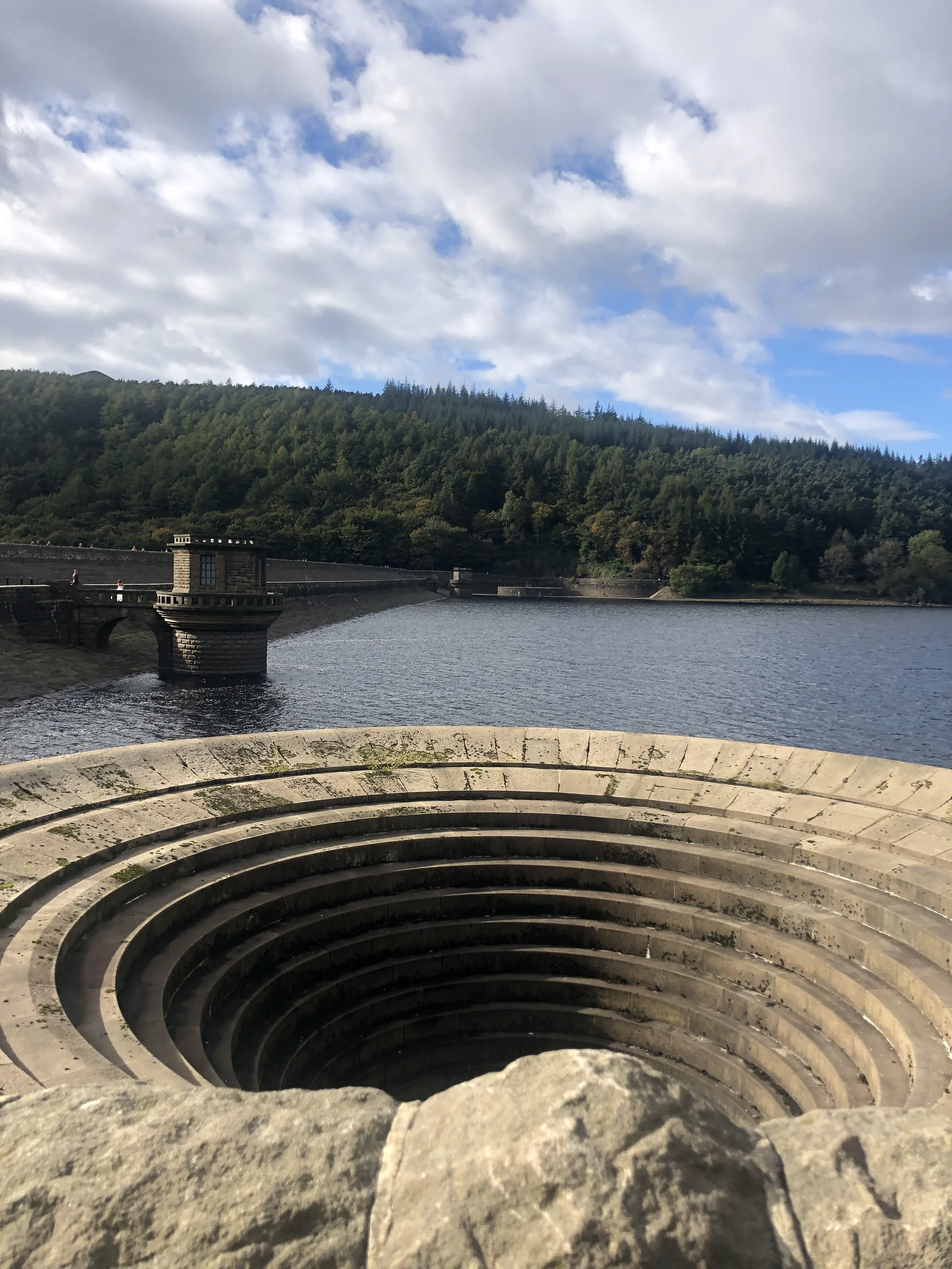
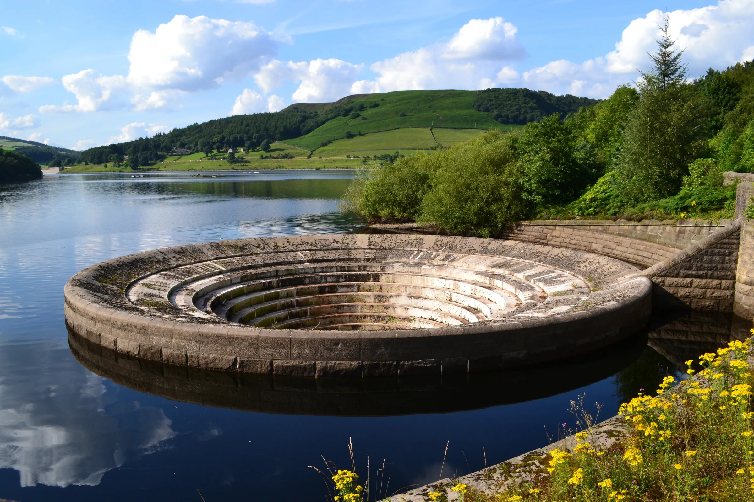
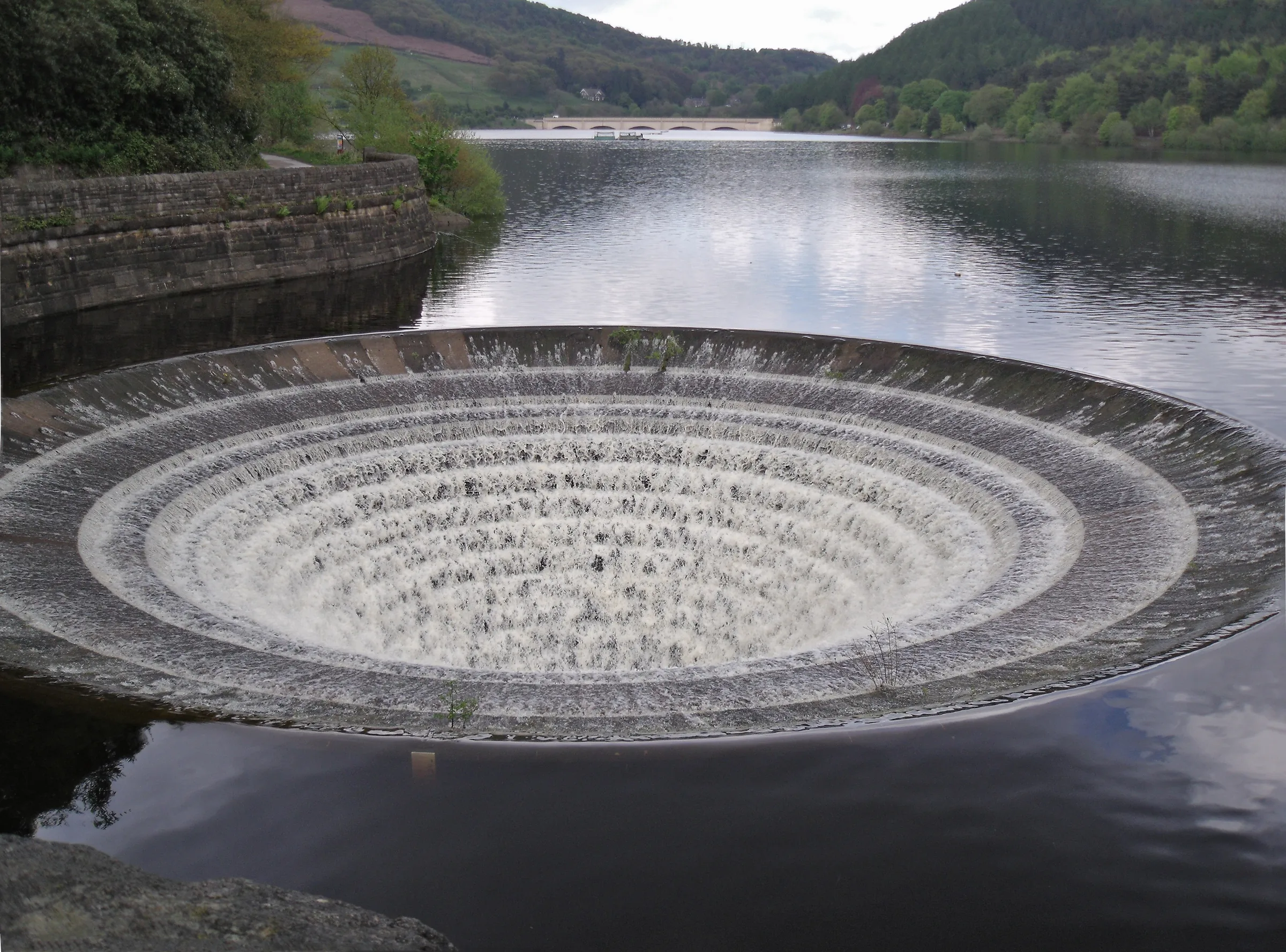
Across Ladybower Dam0.7 mi · 20m up · 30m downWalk east across the top of the dam, past the two big round overflows known as the plugholes. At the far end, turn left onto the path beside the A6013 and walk north for about 0.4 miles back to Heatherdene.
Use the route on OS Maps, AllTrails or Komoot to navigate on the day; this guide is for planning.
Parking
The walk starts from the northern end of Heatherdene car park on the A6013 beside Ladybower Reservoir (S33 0BY), which is run by Severn Trent. It's pay and display: £3.50 for up to 2 hours, £6 for 2 to 4 hours or £7 for over 4 hours, paid by cash or card at the machines or with the RingGo app (zone 58250). It's open in daylight hours only, with no overnight parking, and closes in extreme weather. It's popular, so arrive early at weekends. There are toilets in the car park. Please don't use the Yorkshire Bridge Inn's car park, which is for the inn's own customers. Check the latest prices here.
*Prices correct at time of writing; check before you travel.
Facilities & Hospitality
Public toilets in Heatherdene car park, right at the start. They're open until around 5PM in winter and 7PM in summer, depending on staffing.
On the route about half a mile south of Heatherdene, below Ladybower Dam, this inn serves food, has 14 en-suite rooms and welcomes dogs.
Weather
Hike Videos
Note: Videos are made by other walkers, not The Lost Peak. They may not follow this exact route, and paths, conditions and facilities may have changed since filming.
Photo Gallery
Photos
Photo credits
Photos without a credit are our own. These are used under Creative Commons licences; thank you to the photographers.
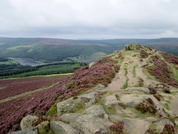
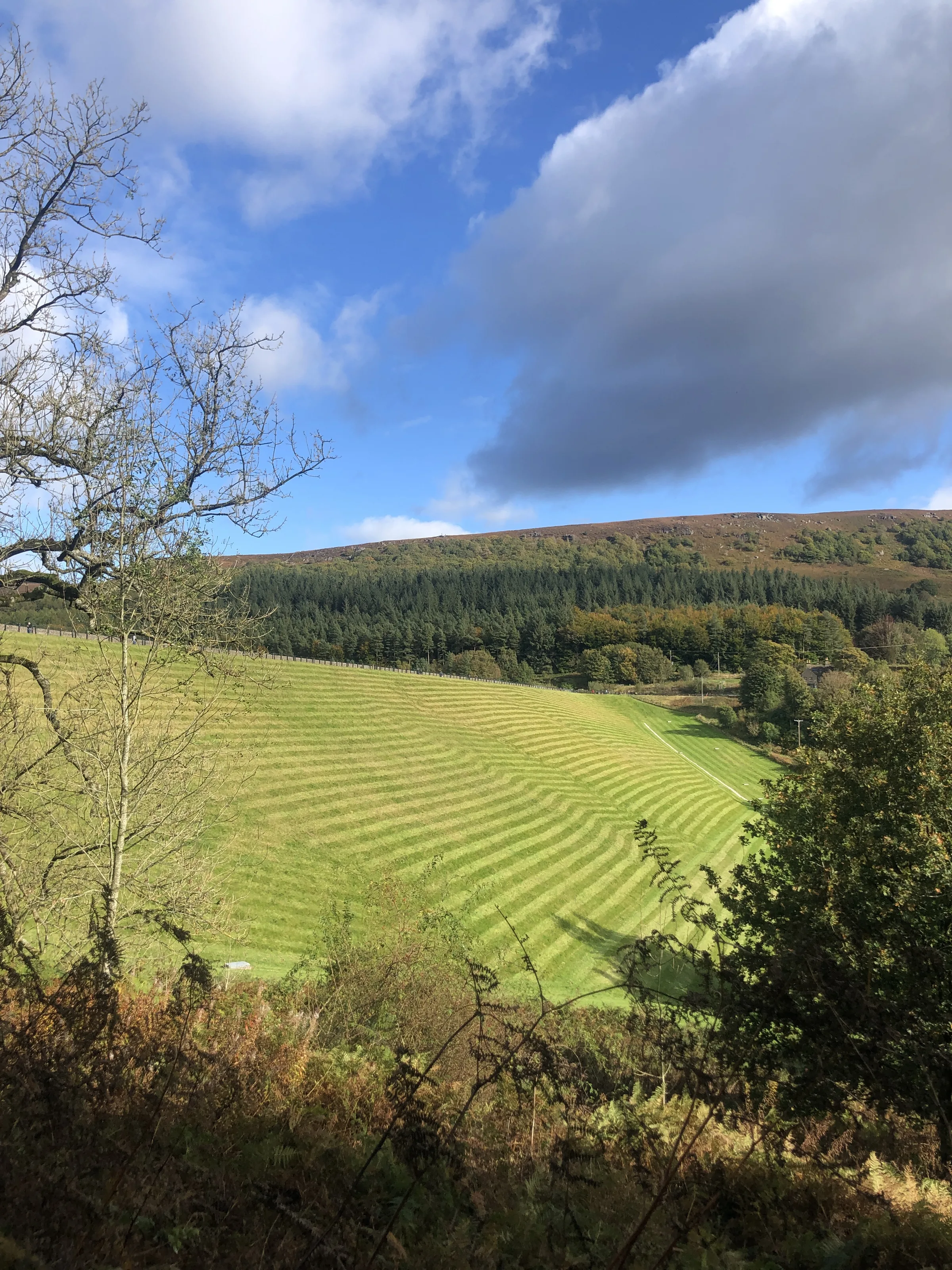
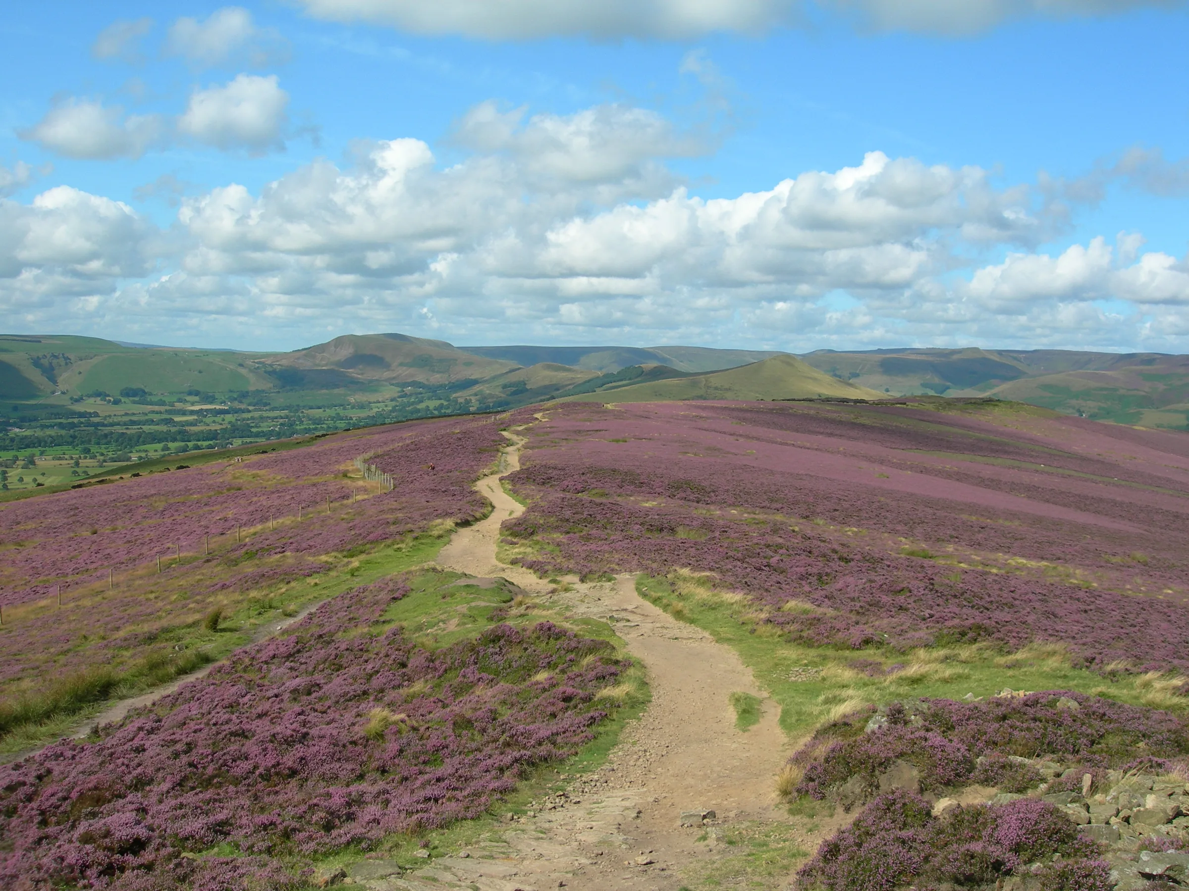
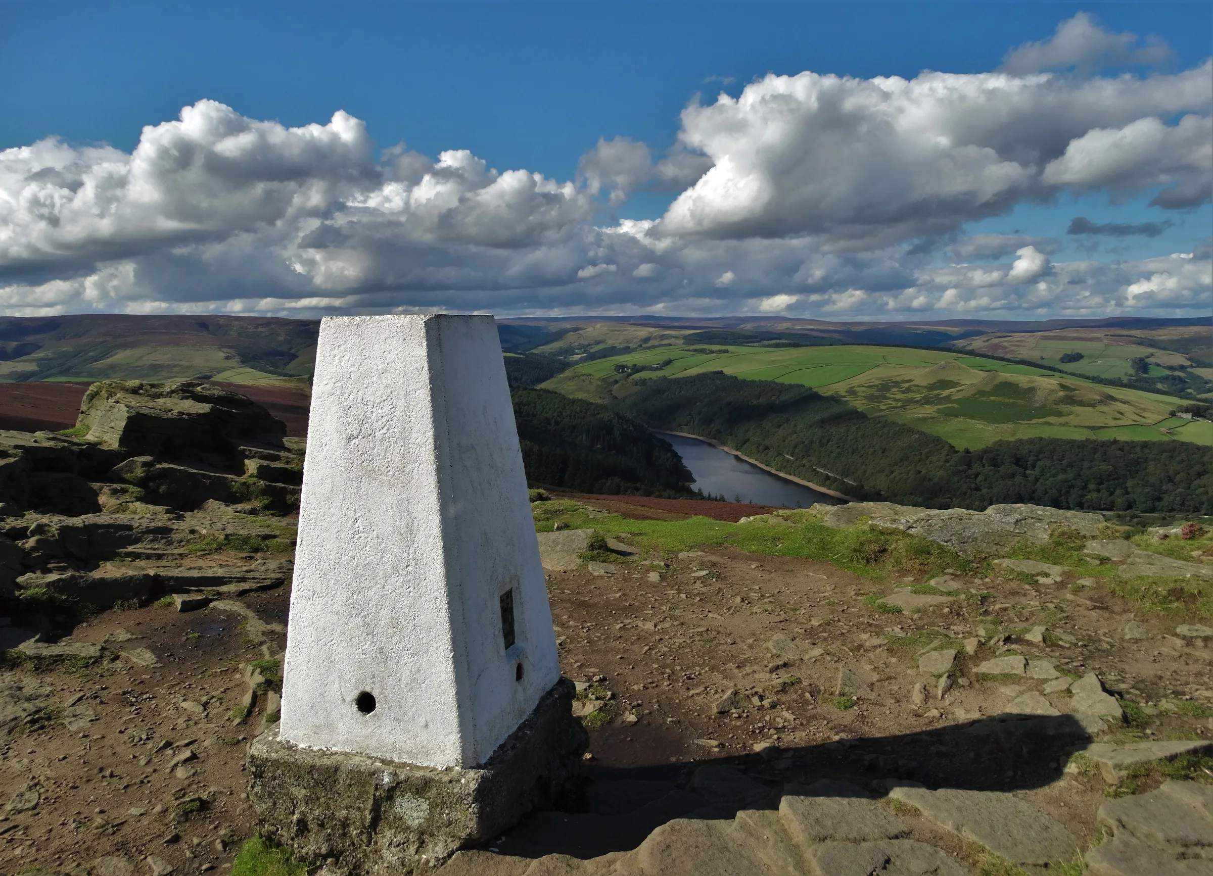
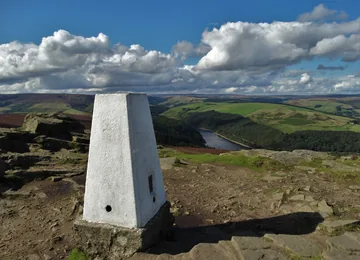 Triangulation pillar on Win Hillby Neil Theasby, Wikimedia Commons (Geograph)Original photoCC BY-SA 2.0 licence
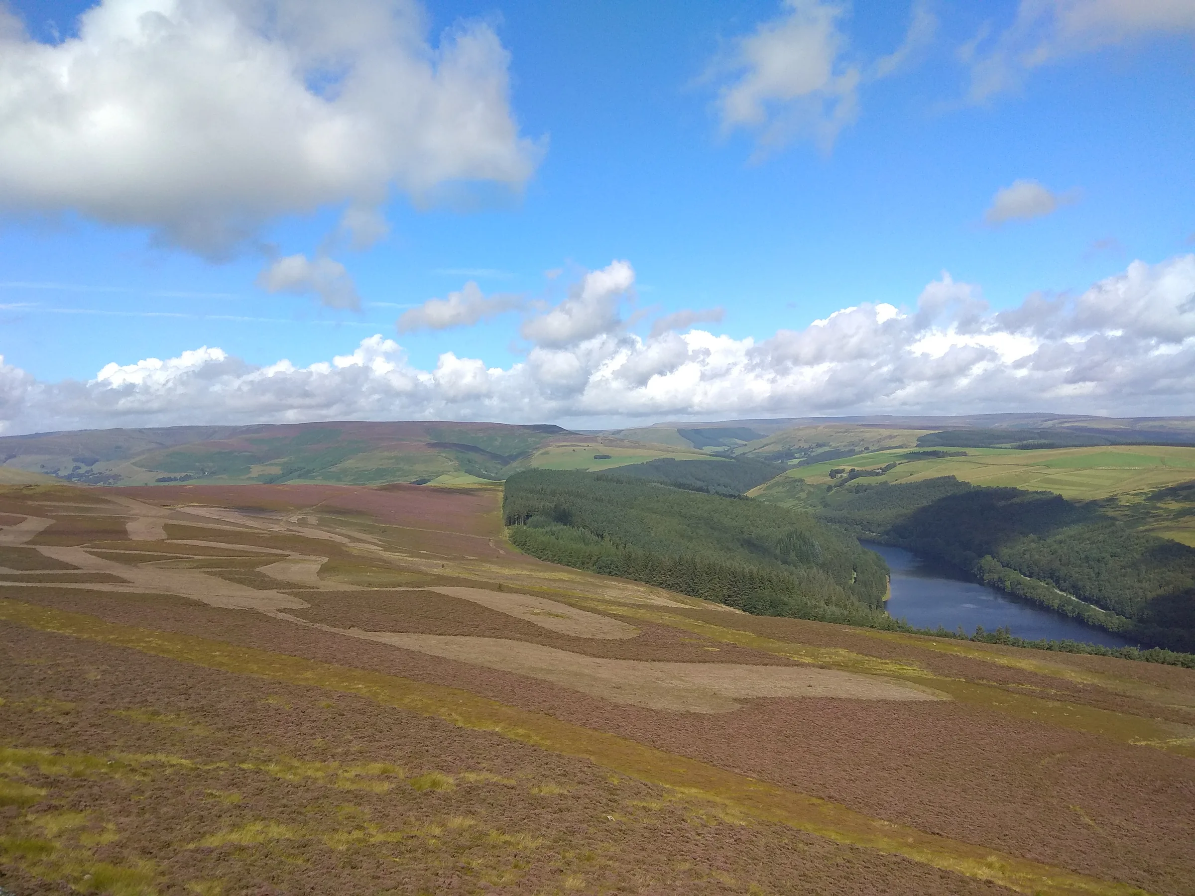
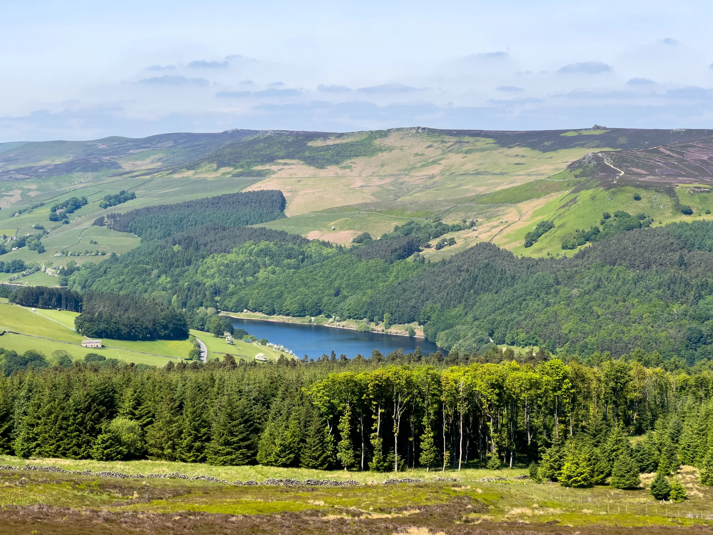
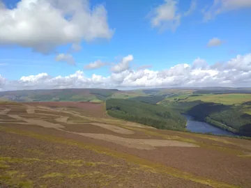 View of Ladybower Reservoir from Win Hillby Dani, Wikimedia Commons (Geograph)Original photoCC BY-SA 2.0 licence
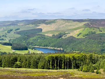
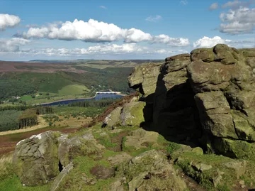 On the rocky summit of Win Hillby Neil Theasby, Wikimedia Commons (Geograph)Original photoCC BY-SA 2.0 licence
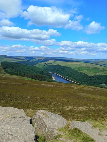 View of Ladybower reservoir from Win Hillby OT7966, Wikimedia CommonsOriginal photoCC BY 4.0 licence
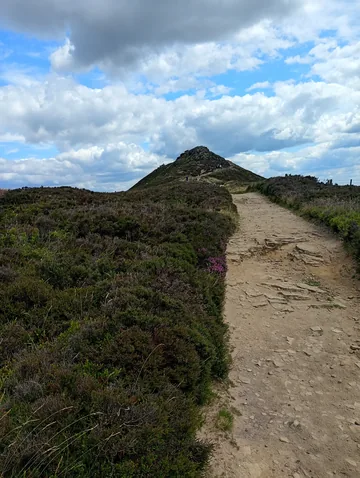
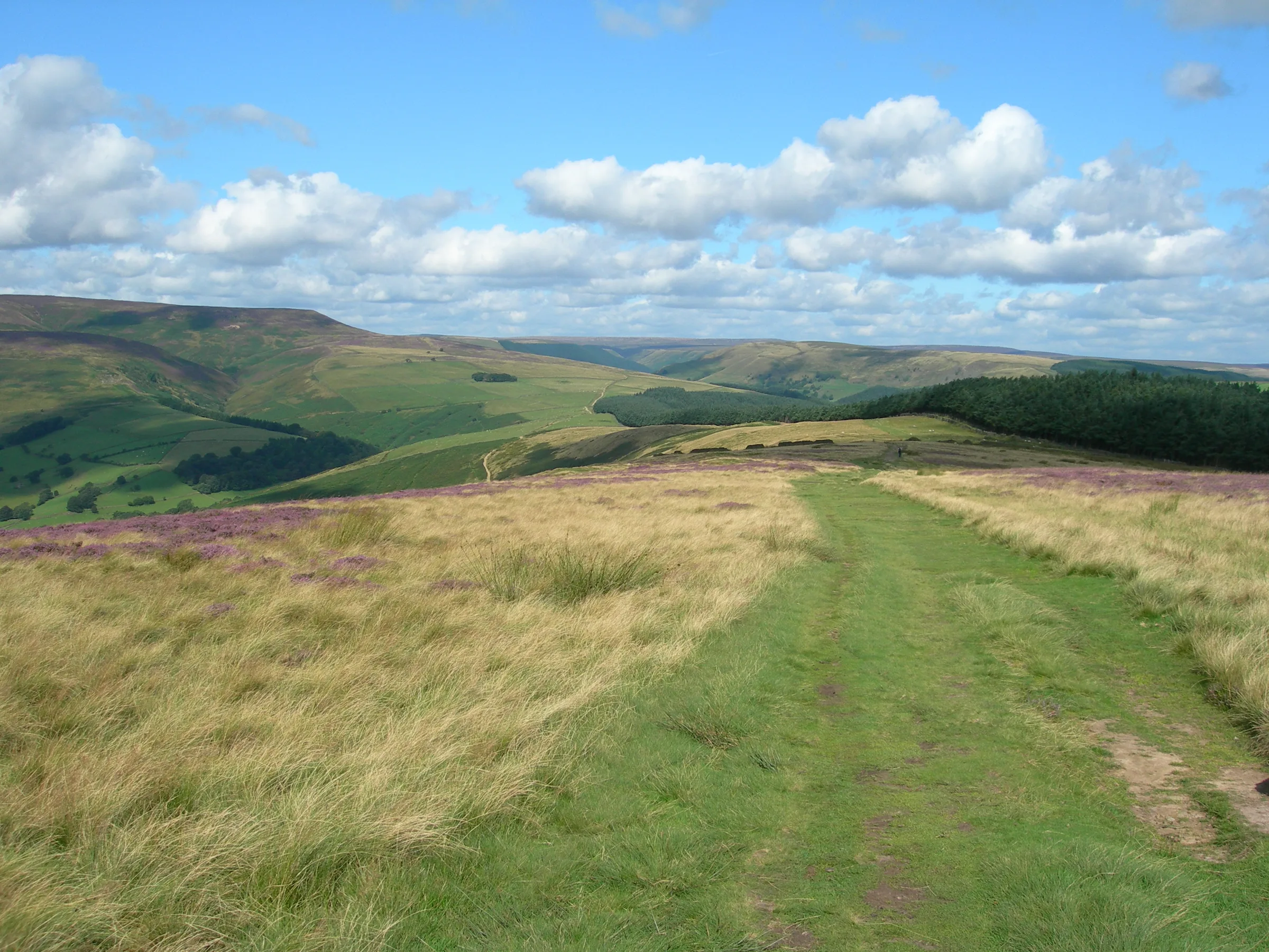
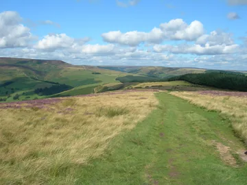 Track across top of Hope Brinkby John Topping, Wikimedia Commons (Geograph)Original photoCC BY-SA 2.0 licence
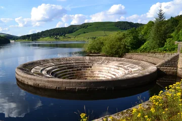 Bellmouth - south east corner of Ladybower Reservoirby Neil Theasby, Wikimedia Commons (Geograph)Original photoCC BY-SA 2.0 licence
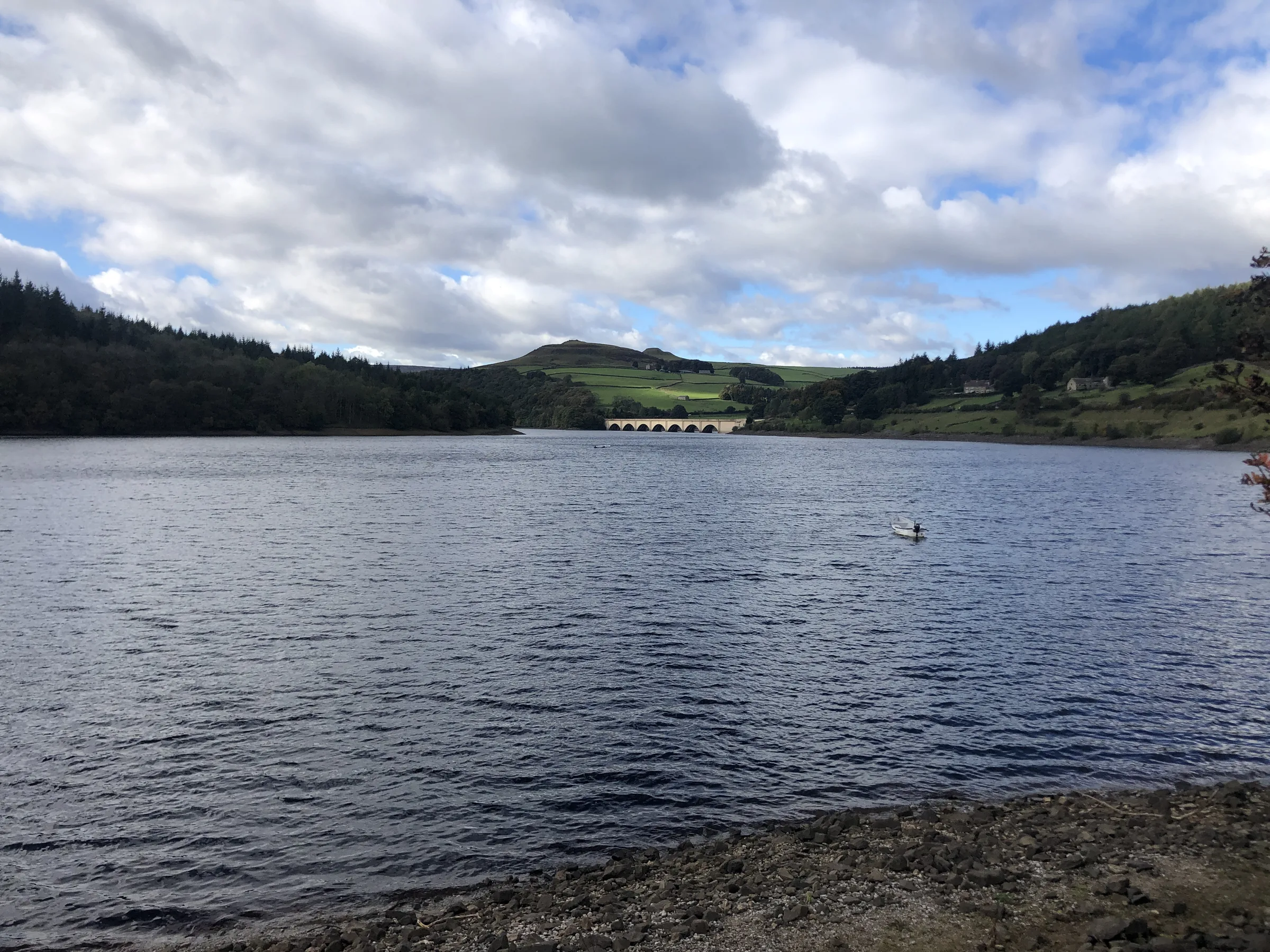
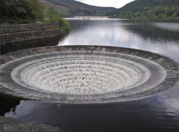 Ladybower Reservoirby Stephen Burton, Wikimedia Commons (Geograph)Original photoCC BY-SA 2.0 licence
Hints & Tips
Short but Brutal
Parkin Clough is the steepest way up Win Hill: about 245m of climbing in under a mile, on steps, rocks and tree roots, and it's slippery after rain. Take it slowly and use the steps. Walking the loop the other way round gives a much gentler climb, but then you come down Parkin Clough instead, which is hard on the knees.
Buy the Longer Ticket
The loop takes most people 3 to 4 hours, and Heatherdene's 2 to 4 hour ticket (£6) runs out at exactly 4 hours. If you plan to stop at the summit or watch the plugholes for a while, the over 4 hours ticket (£7) saves you watching the clock. Prices were correct at the time of writing.
When the Plugholes Flow
The two plugholes at the dam only overflow when the reservoir is full, which usually happens in winter after wet or snowy weather in the hills. Then the water pours down into them and they draw big crowds. For the full effect, come in the winter months after a spell of rain.
Bikes in the Woods
The forest on the way down has mountain bike trails running through it, and some stretches of the route share them. Listen out for riders coming downhill, keep to one side, and keep dogs close on the woodland paths.
Interesting Facts
General
Meet the Pimple
Win Hill's rocky summit is called Win Hill Pike, known locally as the Pimple, and it carries an Ordnance Survey trig point
A Bridge for Packhorses
Yorkshire Bridge, which you cross early in the walk, is a Grade II listed packhorse bridge over the River Derwent, and the hamlet around it is named after it
The Plugholes
Ladybower Dam has two stone bellmouth overflows, known locally as the plugholes, each about 24m (78ft) across, which carry spare water away through tunnels to the river
A Railway Path
The Thornhill Trail, which you follow for a short way early in the walk, is an old railway line that was used to bring in materials to build Ladybower Reservoir
The Battle of Win Hill and Lose Hill
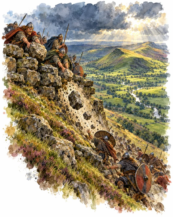
In 1862 the writer William Wood set down an old local tale in his book Tales and Traditions of the High Peak. It begins in the year 626, with Edwin, King of Northumbria, at war with the West Saxon kings Cynegils and Cuichelm, who had Penda of Mercia on their side. According to the story, Cuichelm sent a man called Eumer to kill Edwin with a poisoned dagger, but one of Edwin's attendants, Lilla, stepped in front of the blade and was killed. Edwin then marched against them.
The two armies camped on the hills either side of the River Noe, Edwin's Northumbrians on Win Hill and their enemies on Lose Hill. Edwin had fewer men but the better ground, and they built a long wall of stones near the top. After hard fighting in the valley his army fell back behind it, and as the enemy climbed up after them they rolled the stones down the slope and crushed them. The enemy kings fled, Edwin lost nearly half his army, and the two hills were named after the winners and the losers. Wood added that bones were said to have been found by the river, and that the stones were later cut into millstones.
Even Wood said nobody could vouch for the tale, as it rested on word of mouth, and there is no evidence that any battle was fought here. The real story of the name is probably much gentler. Win Hill was once written down as Wythinehull, which likely means Withy Hill or Willow Hill, and bits of willow can still be found among the conifers on the climb from Yorkshire Bridge, the way this walk goes up.
Building Ladybower
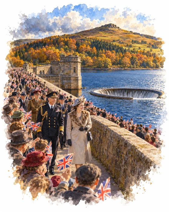
The dam you walk across at the end of this walk took eight years to build. The Derwent Valley Water Board started work on Ladybower in 1935 to add to the Howden and Derwent reservoirs further up the valley, as the towns and cities it supplied needed more water. When war broke out in 1939, workers and materials became hard to find, but the job carried on because the water supply was so important. The dam was finished in 1943 and then took about two more years to fill.
Unlike the stone walls of the two older dams, Ladybower's is an earth bank with a clay core, and instead of water pouring over the top it has the two round overflows known as the plugholes. Materials came in on the Water Board's own railway, and part of its line is now the Thornhill Trail, which you walk along early in the walk. The reservoir drowned the villages of Derwent and Ashopton, and most of the people who lived there were moved to a new estate at Yorkshire Bridge, which this walk passes through on the way out. In a TV documentary in 1966 they had mixed feelings about it, though the move had at least meant the end of paraffin lamps and outside toilets.
On 25 September 1945, King George VI and Queen Elizabeth came to open the reservoir, and a crowd of around 25,000 people turned out to watch. The King unlocked the gates on the embankment and opened the valves to let the water flow. In the 1990s the dam wall was raised and strengthened so that it would be less likely to be overtopped in a big flood.
More Hikes
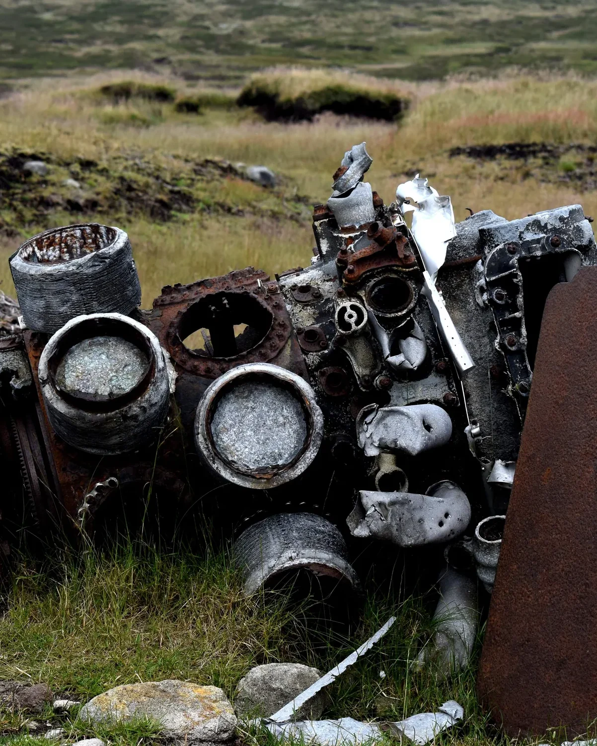 ModerateThe Crashed Plane3.7 mi · 2–3 hrs · 145m
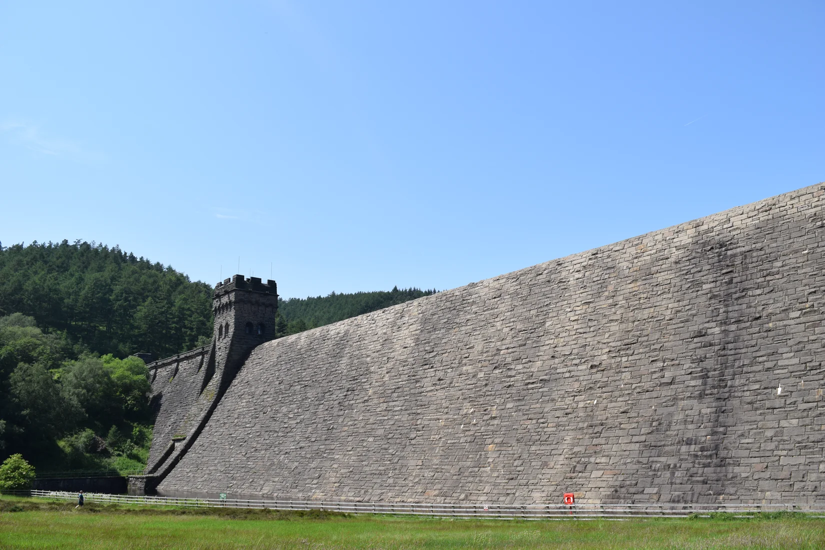 ModerateDerwent Edge7.5 mi · 3–4 hrs · 367m
 HardKinder Scout9.4 mi · 4–6 hrs · 635m
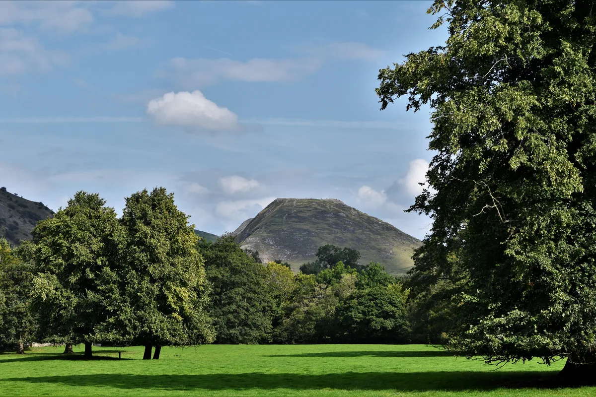 ModerateDovedale & Thorpe Cloud6.8 mi · 3½–4½ hrs · 476m
 EasyCurbar & Froggatt Edges5.8 mi · 2½–3½ hrs · 252m
 ModerateShutlingsloe6.4 mi · 3–4 hrs · 429m
Subscribe for updates on new hikes and National Parks
One email a month with new hikes and routes. No spam.