


Hill data: The Database of British and Irish Hills v18.6 (CC BY 4.0)Height669.9 m2,198 ft
Grid RefSH 88929 23621
OS MapOL23OS Explorer
AreaThe Arans
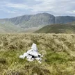
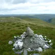
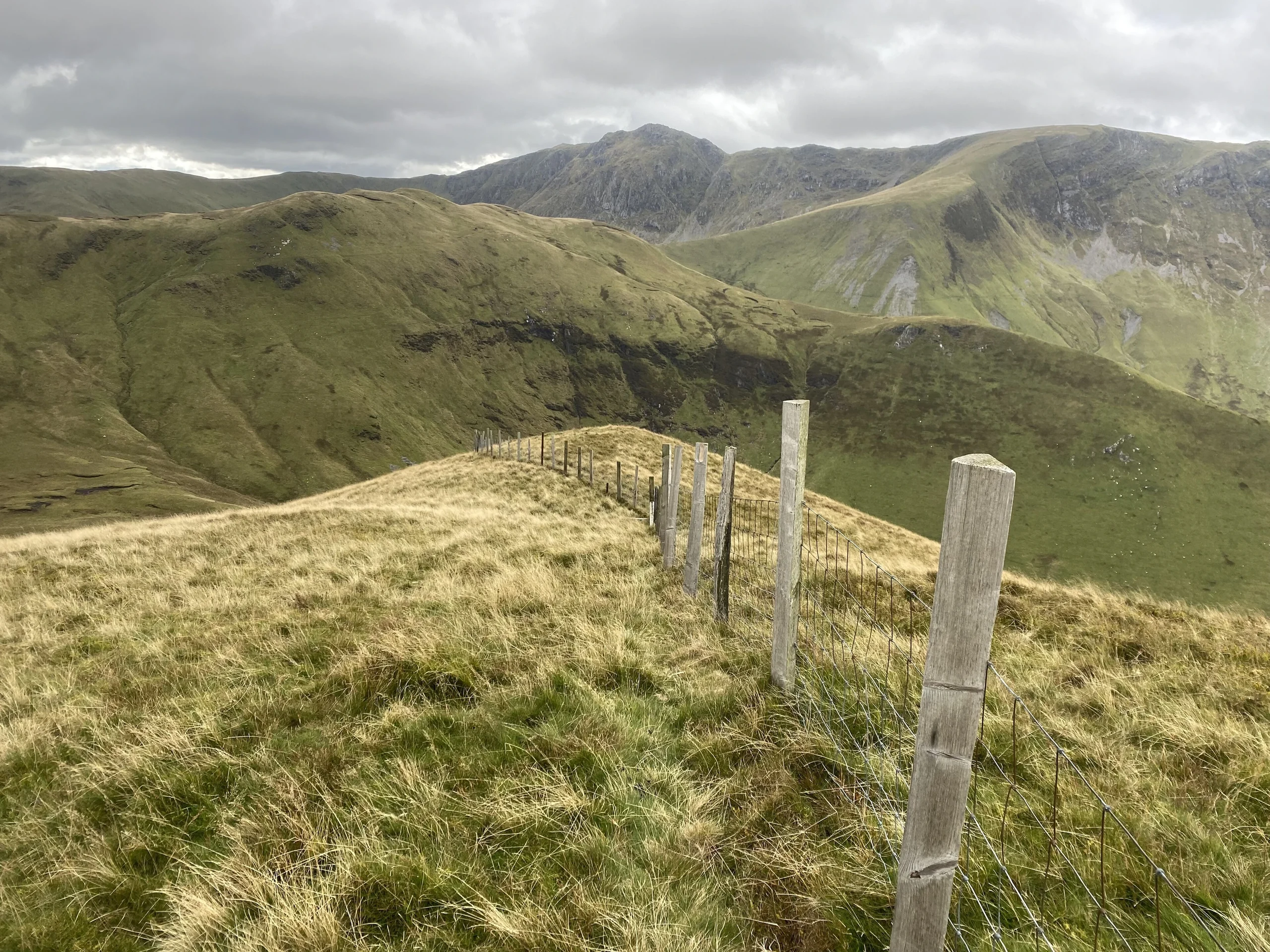
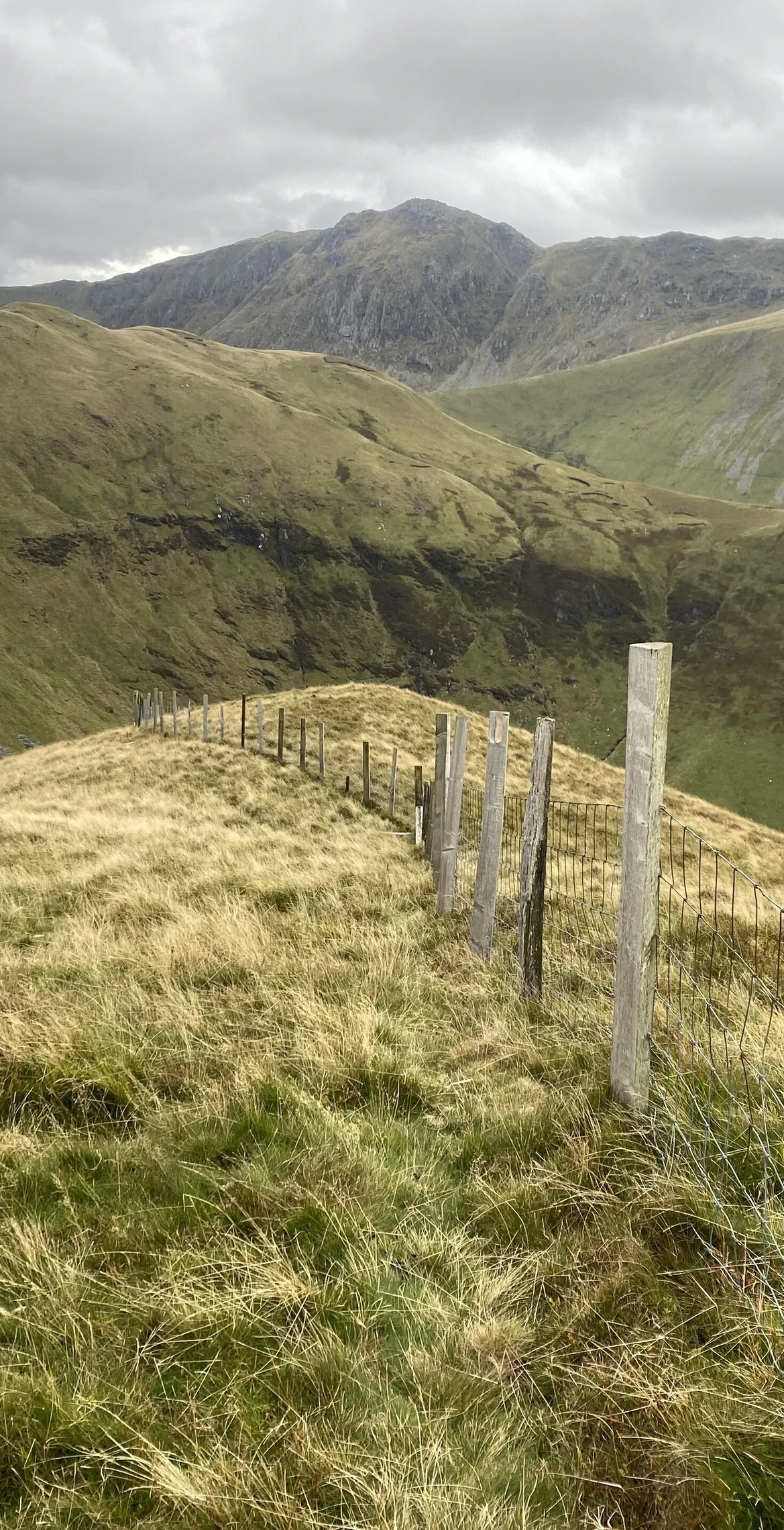
Welsh for "white shanks", Esgeiriau Gwynion, also known as Foel Rhudd, is the smallest of the three Marilyns of the Aran range. It reaches 669.9 m, with no feature at the highest point, and lies east of Aran Fawddwy across Bwlch Sirddyn. A road crosses its plateau at Bwlch y Groes.
New to the Pennants?Read our guide: What Are The Welsh Pennants?Rock & Ground
The tops are all boggy, rising from a wild peat-bog plateau.
Summit Weather
Our Route
Distance11.9 mi19.2 km
Ascent1,130 m3,710 ft
Time6h 30mwalking
Start & FinishSH 9131 2327Circular route, back to the same spot
DirectionsAlso on this route: Moel y Cerrig Duon, Llechwedd Du
Safety: Routes are a guide only. Carry a map and compass and know how to use them, check the weather before you go, and turn back if in doubt. You use this route at your own risk.