


Hill data: The Database of British and Irish Hills v18.6 (CC BY 4.0)Height629 m2,064 ft
Grid RefSN 96071 21804
OS MapOL12OS Explorer
AreaBrecon Beacons
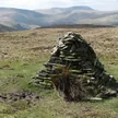
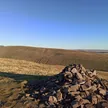
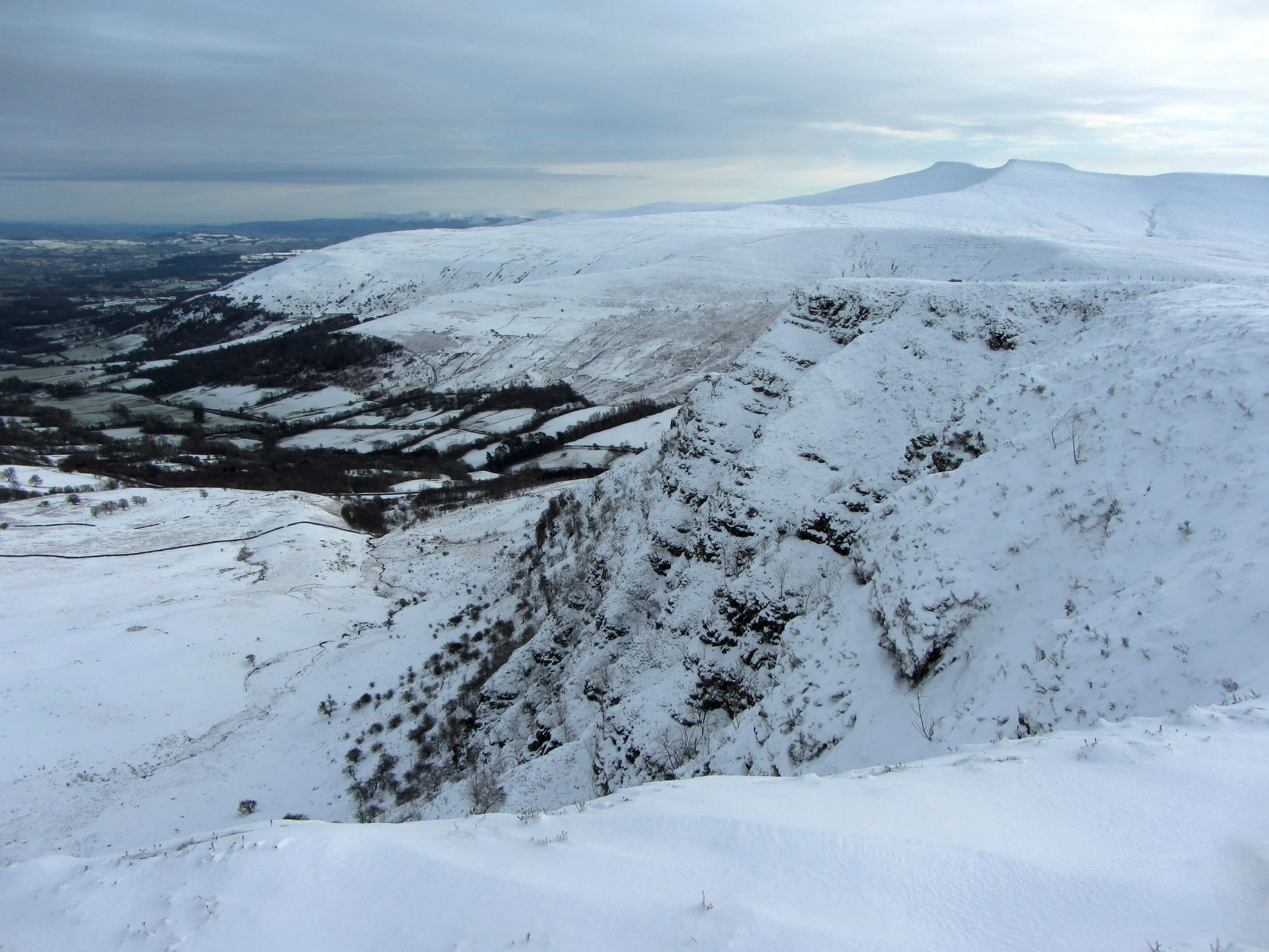
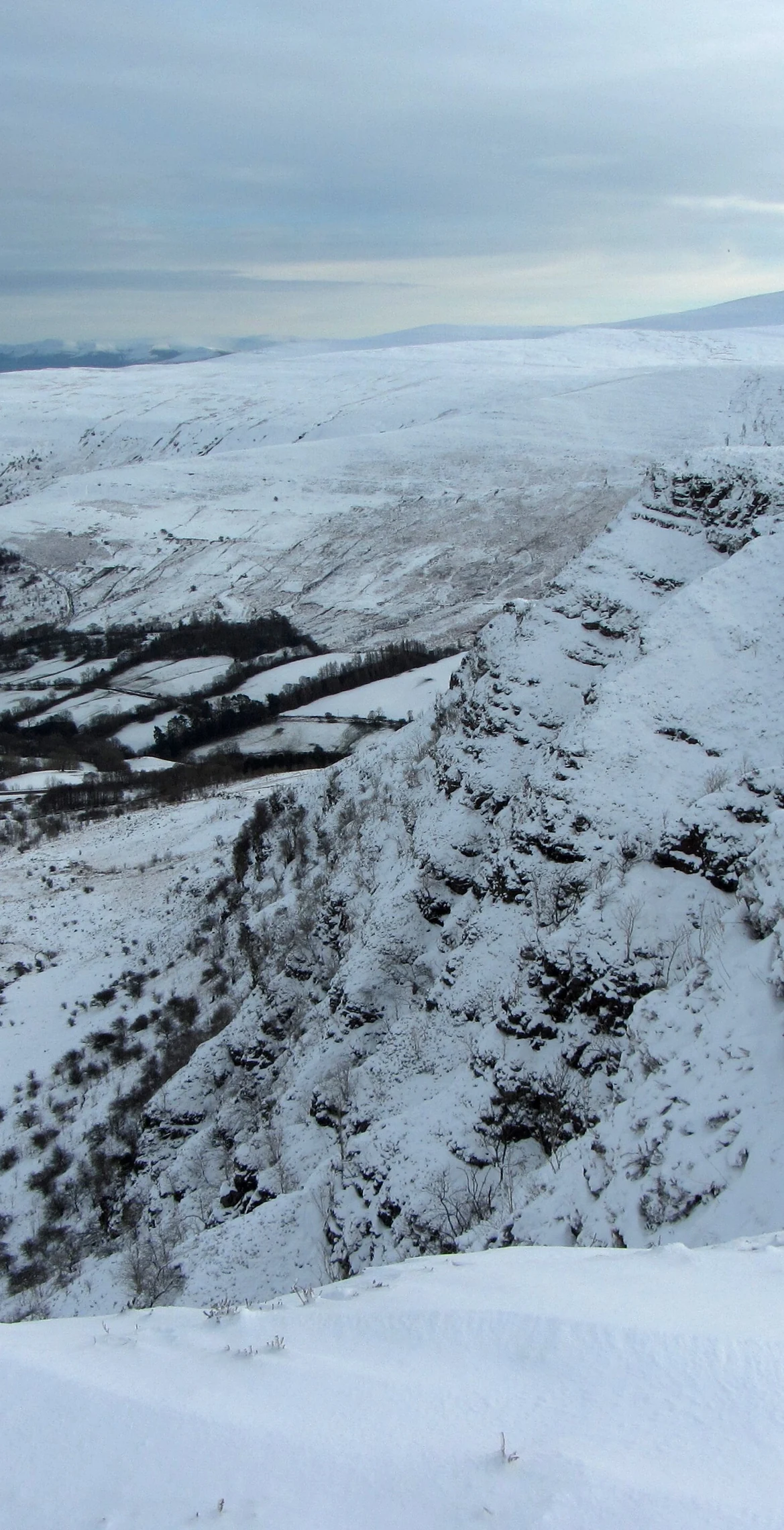
Translated as 'cliff of the salmon(-coloured) rocks', Craig Cerrig-gleisiad (629 m) is a glacial cirque within a National Nature Reserve it shares with Fan Frynych, 1.0 km away. Its steep crags keep sheep away from rare Arctic–alpine plants such as purple saxifrage and roseroot, and peregrine falcons, ring ouzels and ravens are found in the reserve. The highest ground is beside a cairn.
New to the Pennants?Read our guide: What Are The Welsh Pennants?Rock & Ground
A cirque formed by a glacier, with steep crags and moraine.
Summit Weather
Our Route
Distance10.1 mi16.3 km
Ascent630 m2,070 ft
Time5h 05mwalking
Start & FinishSN 9824 2029Circular route, back to the same spot
DirectionsAlso on this route: Fan Fawr, Fan Llia, Fan Frynych
Safety: Routes are a guide only. Carry a map and compass and know how to use them, check the weather before you go, and turn back if in doubt. You use this route at your own risk.