


Hill data: The Database of British and Irish Hills v18.6 (CC BY 4.0)Height771 m2,530 ft
Grid RefSH 70846 69588
OS MapOL17OS Explorer
AreaThe Carneddau
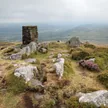
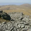
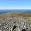
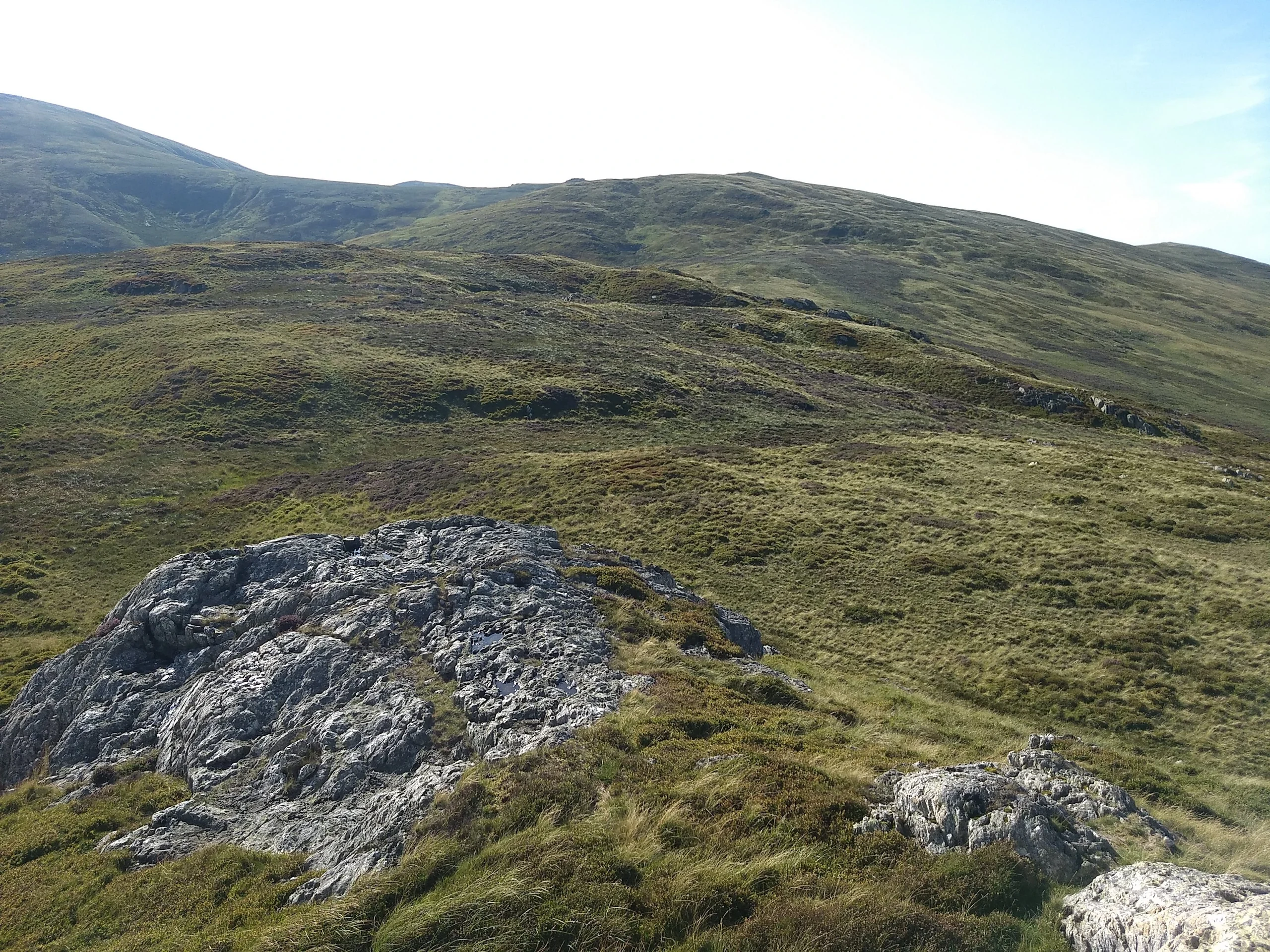
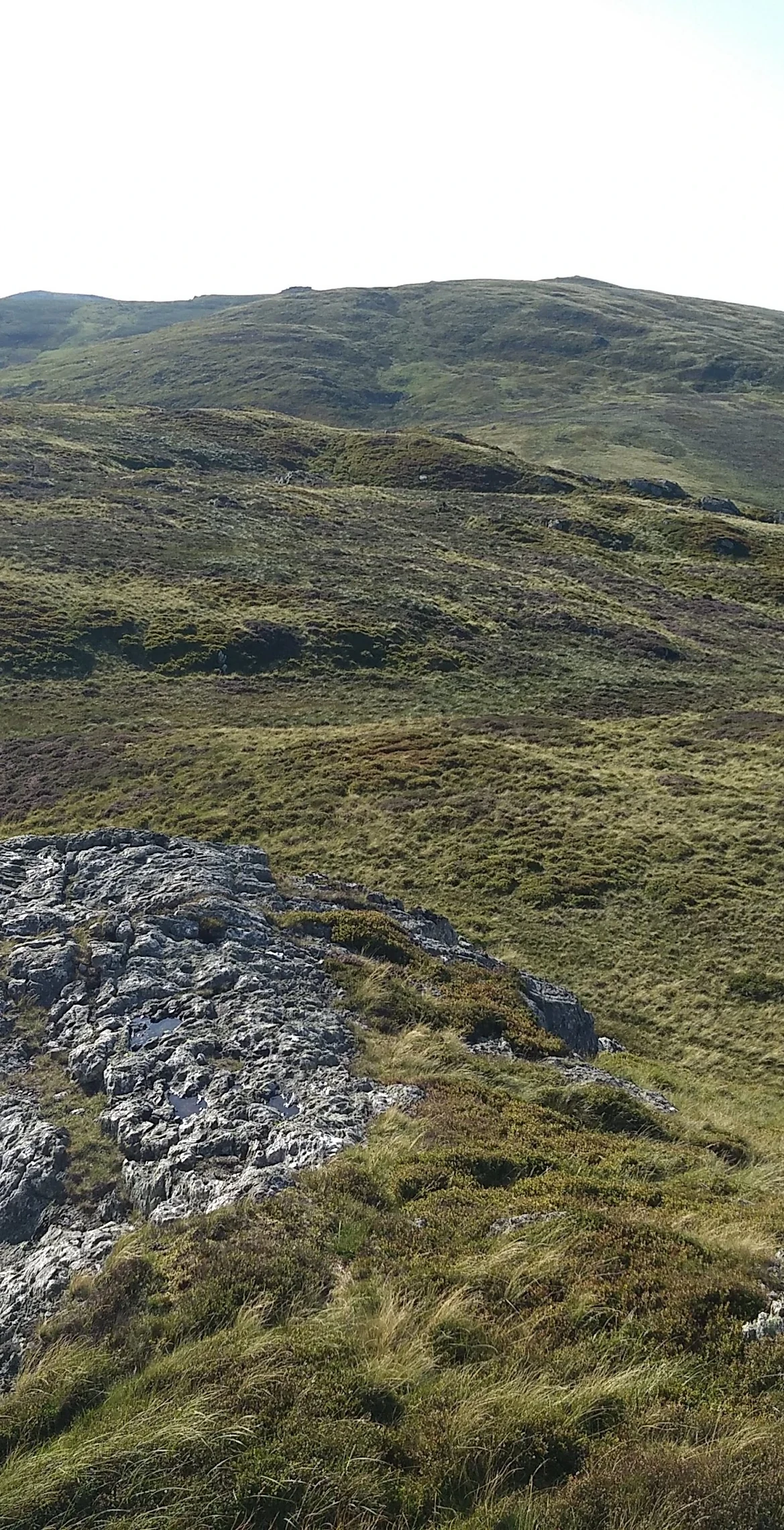
Out in the Carneddau, Drum reaches 771 m, its highest point a rock inside a shelter. Foel-fras and Llwytmor are its nearest neighbours on the list, each 1.9 km away, with Garnedd Uchaf 3.4 km off. Its drop is 48.4 m.
New to the Pennants?Read our guide: What Are The Welsh Pennants?Summit Weather
Our Route
Distance8.8 mi14.2 km
Ascent890 m2,920 ft
Time5hwalking
StartSH 7206 7153Grid reference of the start
DirectionsAlso on this route: Foel-fras, Llwytmor
Safety: Routes are a guide only. Carry a map and compass and know how to use them, check the weather before you go, and turn back if in doubt. You use this route at your own risk.