


Hill data: The Database of British and Irish Hills v18.6 (CC BY 4.0)Height849 m2,785 ft
Grid RefSH 68950 69227
OS MapOL17OS Explorer
AreaThe Carneddau
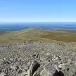
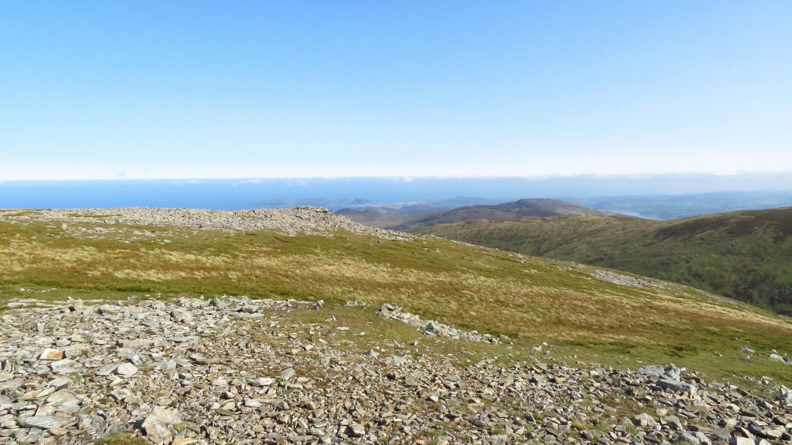
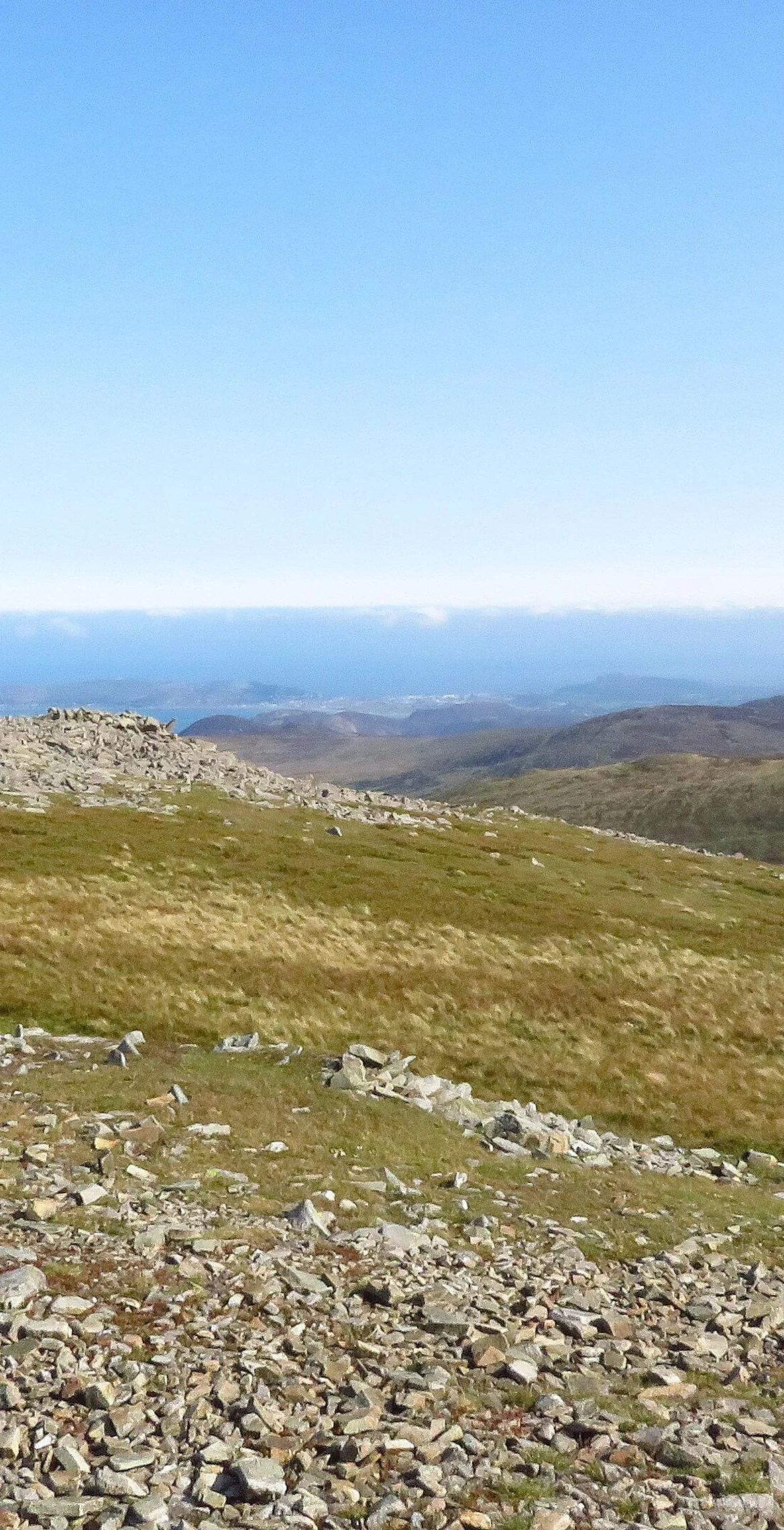
A satellite peak of Foel-fras in the Carneddau, Llwytmor reaches 849 m and has boulderfields, a shelter and several cairns on top, with a small cairn marking the highest point. OS maps into the 1960s called it Llwydmor, llwyd being Welsh for grey. On a fine day the views north reach the Menai Strait and Anglesey, and Carneddau ponies graze here all year.
New to the Pennants?Read our guide: What Are The Welsh Pennants?Rock & Ground
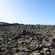
The summit area holds a series of boulderfields.
Summit Weather
Our Route
Distance8.8 mi14.2 km
Ascent890 m2,920 ft
Time5hwalking
StartSH 7206 7153Grid reference of the start
DirectionsAlso on this route: Foel-fras, Drum
Safety: Routes are a guide only. Carry a map and compass and know how to use them, check the weather before you go, and turn back if in doubt. You use this route at your own risk.