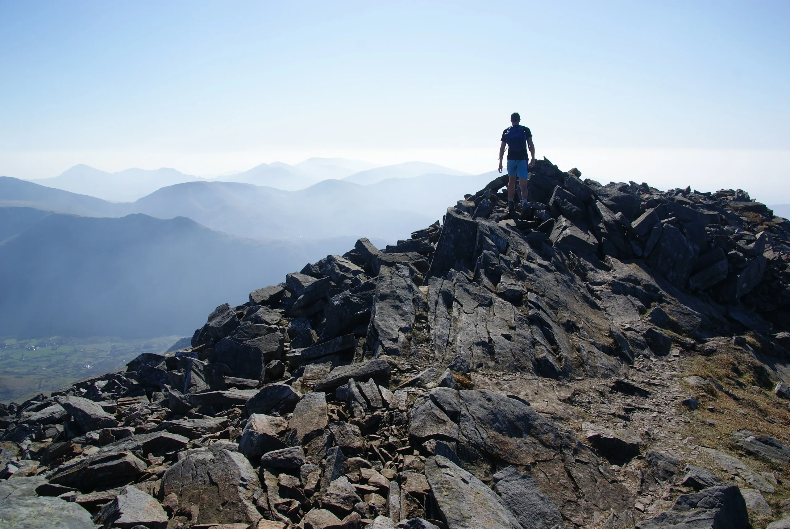

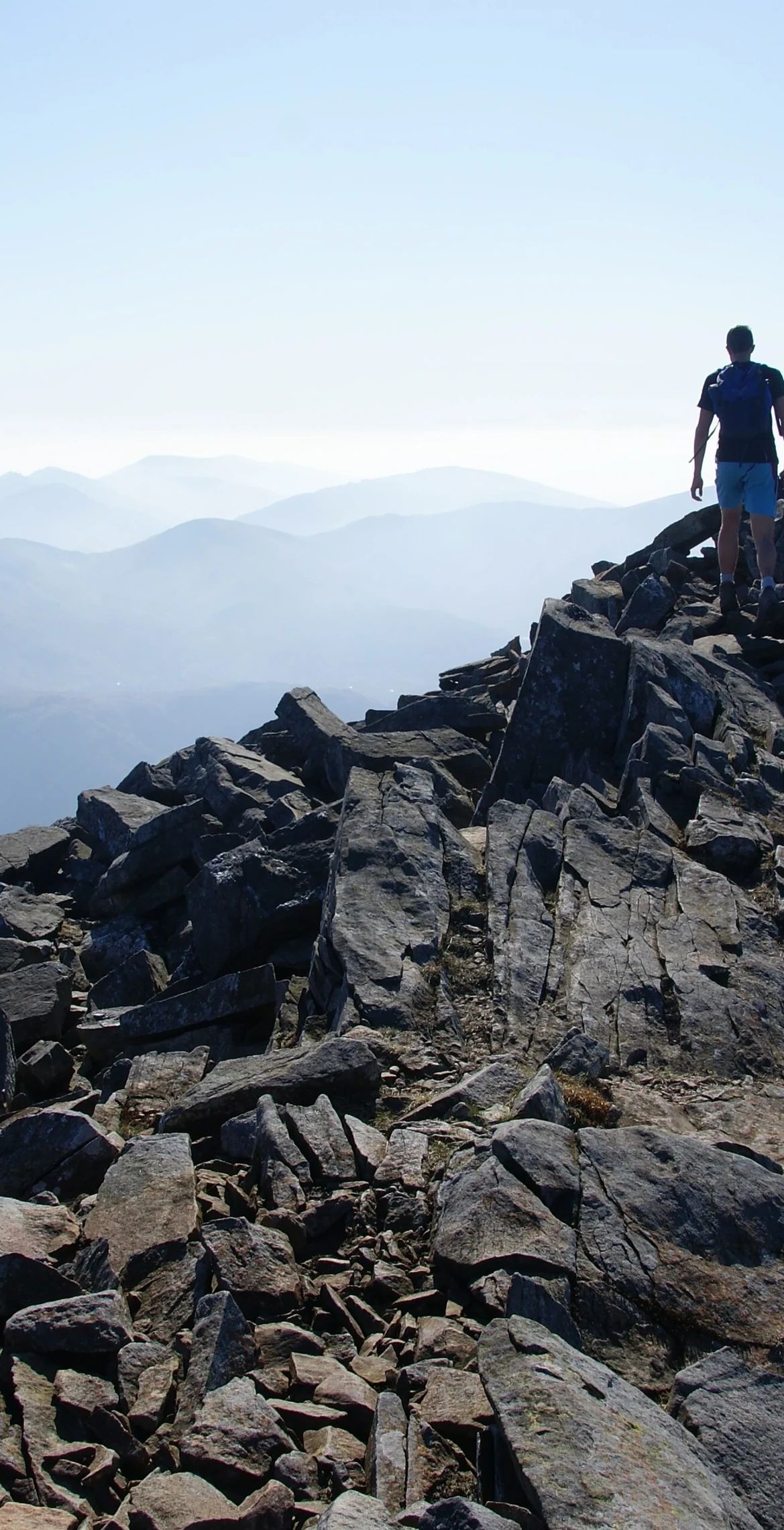


Named after a legendary 6th-century warrior king, Elidir Fawr ('Big Elidir') is the northernmost peak of the Glyders at 924 m. Hidden inside it is Dinorwig pump-storage power station, with its upper reservoir, Marchlyn Mawr, to the north of the summit. The walk up from Deiniolen or Nant Peris is short but steep, and the highest rock lies about 25 m south-south-west of a windshelter.
New to the Pennants?Read our guide: What Are The Welsh Pennants?The summit is rocky, and the Llanberis side is dominated by the former Dinorwic slate quarries and their waste.
Summit Weather
Our Route
Also on this route: Pen yr Ole Wen, Y Garn (Glyders), Foel-goch, Carnedd y Filiast (Glyders)
Safety: Routes are a guide only. Carry a map and compass and know how to use them, check the weather before you go, and turn back if in doubt. You use this route at your own risk.