


Hill data: The Database of British and Irish Hills v18.6 (CC BY 4.0)Height978 m3,209 ft
Grid RefSH 65599 61946
OS MapOL17OS Explorer
AreaThe Carneddau
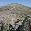
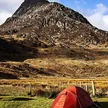
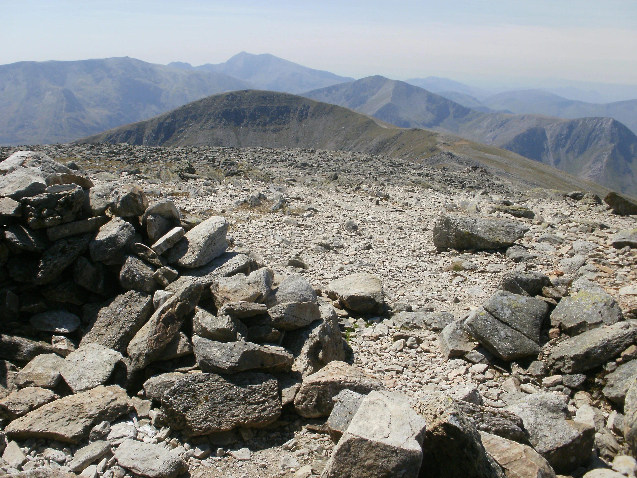
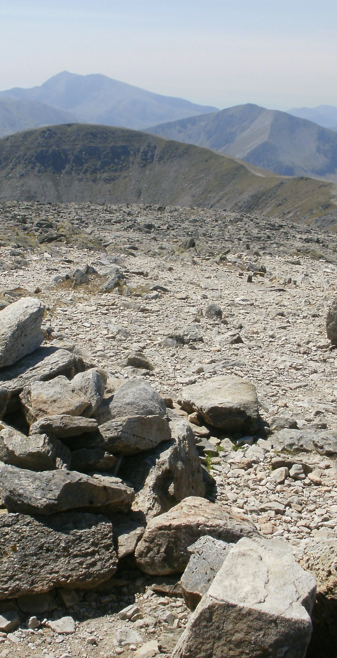
Seen from Idwal Cottage on the A5, Pen yr Ole Wen has a pyramidal look, and the direct path up its south-west "corner" climbs 675 m in about 1.5 km. The most southerly of the Carneddau, it reaches 978 m, with the highest ground just north of the summit cairn and Carnedd Dafydd only 1.3 km away. In 2004 the name was explained as "Head of the White Slope", and the hill is often climbed as part of a longer Carneddau route.
New to the Pennants?Read our guide: What Are The Welsh Pennants?Summit Weather
Our Route
Distance12.5 mi20.1 km
Ascent1,880 m6,170 ft
Time8hwalking
Start & FinishSH 6489 6042Circular route, back to the same spot
DirectionsAlso on this route: Y Garn (Glyders), Elidir Fawr, Foel-goch, Carnedd y Filiast (Glyders)
Safety: Routes are a guide only. Carry a map and compass and know how to use them, check the weather before you go, and turn back if in doubt. You use this route at your own risk.