


Hill data: The Database of British and Irish Hills v18.6 (CC BY 4.0)Height667.5 m2,190 ft
Grid RefSH 98173 28332
OS Map255OS Explorer
AreaThe Berwyns
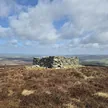
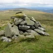
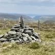
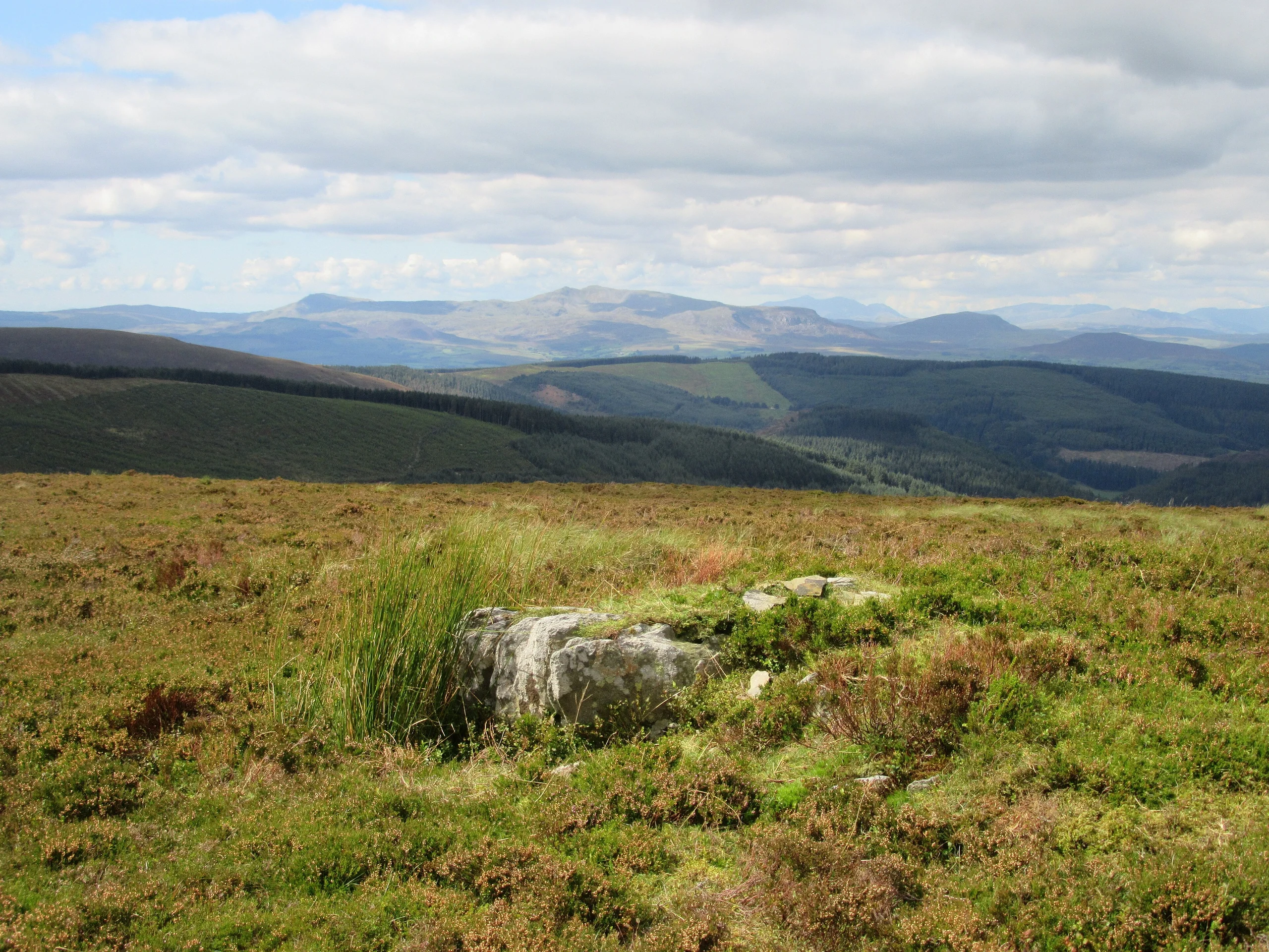
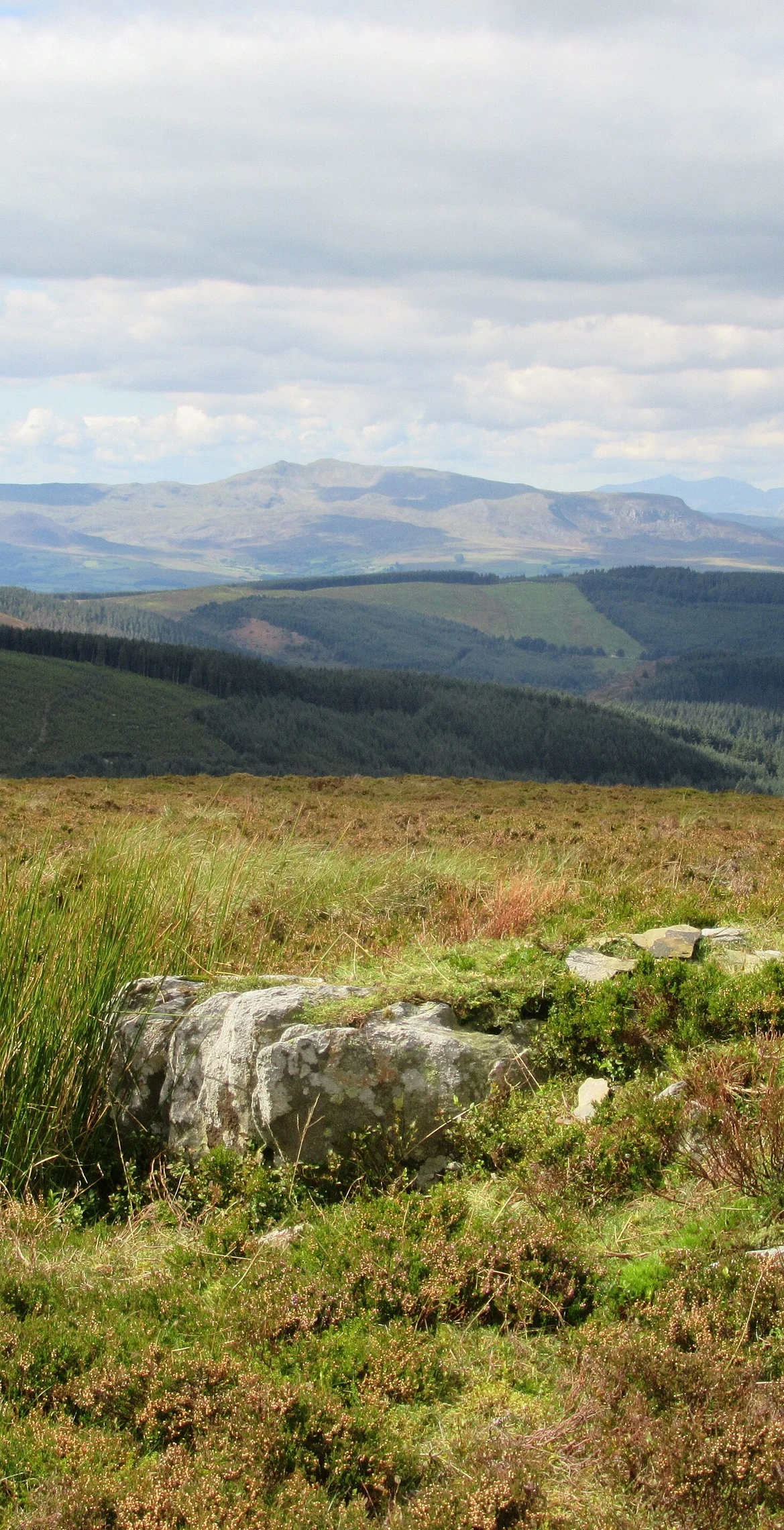
A small cairn marks the 667.5 m summit of Foel Cedig in the Berwyns. It has a drop of 180.1 m, and the nearest hills on the list are Pen y Boncyn Trefeilw at 1.9 km, Foel Cwm-Sian Llwyd at 3.4 km and Foel Goch at 3.9 km.
New to the Pennants?Read our guide: What Are The Welsh Pennants?Summit Weather
Our Route
Distance14.7 mi23.6 km
Ascent1,020 m3,350 ft
Time7h 30mwalking
Start & FinishSH 9524 2998Circular route, back to the same spot
DirectionsAlso on this route: Foel Cwm-Sian Llwyd, Pen y Boncyn Trefeilw
Safety: Routes are a guide only. Carry a map and compass and know how to use them, check the weather before you go, and turn back if in doubt. You use this route at your own risk.