


Hill data: The Database of British and Irish Hills v18.6 (CC BY 4.0)Height769.2 m2,524 ft
Grid RefSO 06214 20650
OS MapOL12OS Explorer
AreaBrecon Beacons
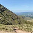
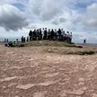
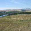
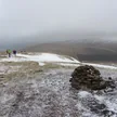
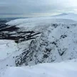
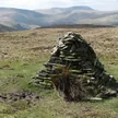
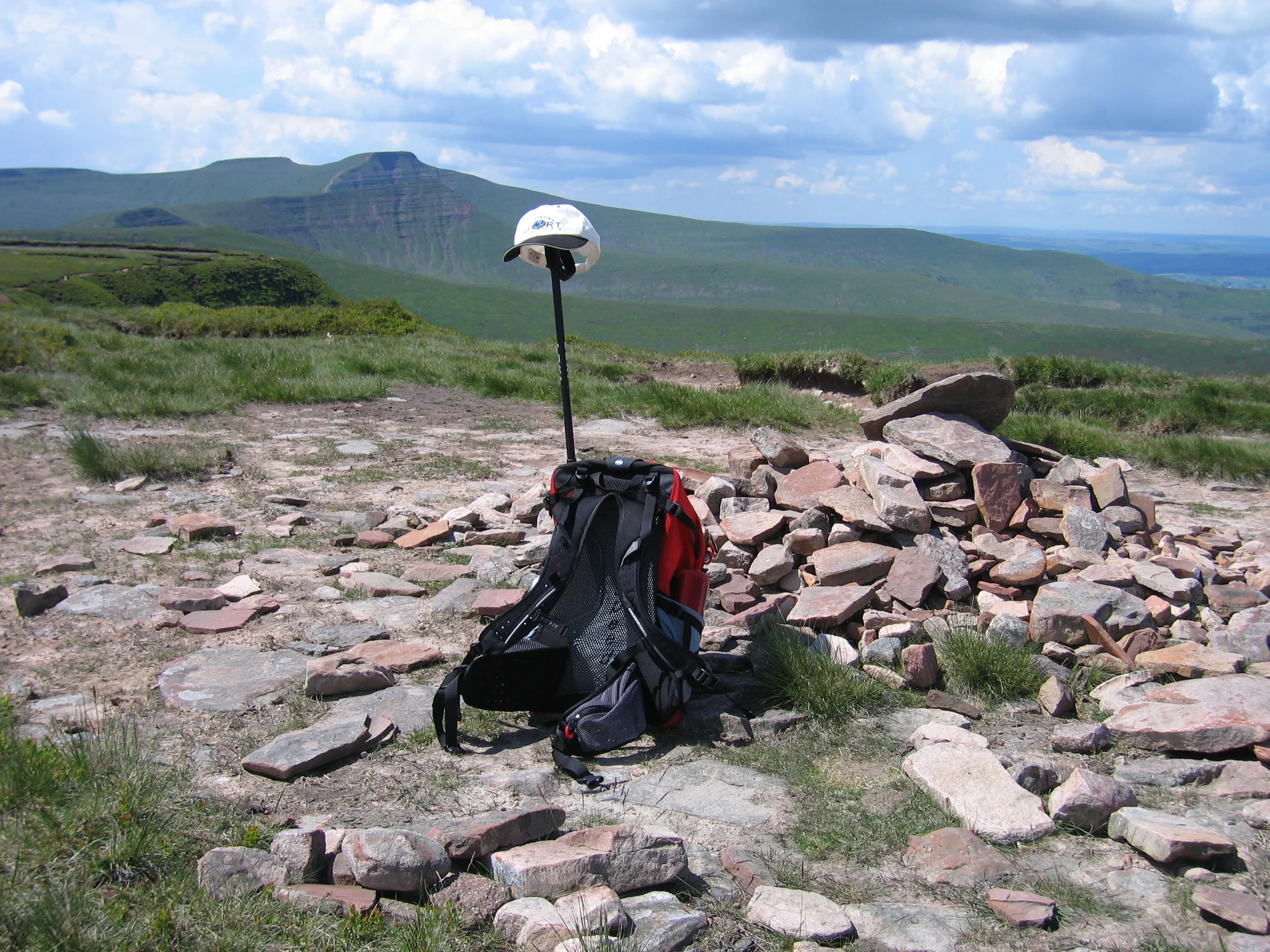
Topping a large boggy plateau east of Pen y Fan, Waun Rydd reaches 769.2 m, its highest point a grassy knoll. The plateau has sharp rims on several sides: Craig Pwllfa overlooks Cwm Banw to the north-east, Craig y Fan looks east over Cwm Tarthwynni, and to the south Cwar y Gigfran, 'quarry of the crow', marks the top of a large landslip. Several ridges run out north and east, including Twyn Du towards Talybont Reservoir.
New to the Pennants?Read our guide: What Are The Welsh Pennants?Rock & Ground
A large boggy plateau with sharp rims on several sides.
Summit Weather
Our Route
Distance6.1 mi9.8 km
Ascent630 m2,070 ft
Time3h 30mwalking
StartSO 0996 1970Grid reference of the start
DirectionsSafety: Routes are a guide only. Carry a map and compass and know how to use them, check the weather before you go, and turn back if in doubt. You use this route at your own risk.