


Hill data: The Database of British and Irish Hills v18.6 (CC BY 4.0)Height617.3 m2,025 ft
Grid RefSO 08697 13737
OS MapOL12OS Explorer
AreaBrecon Beacons
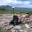
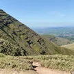
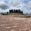
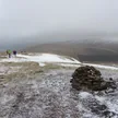
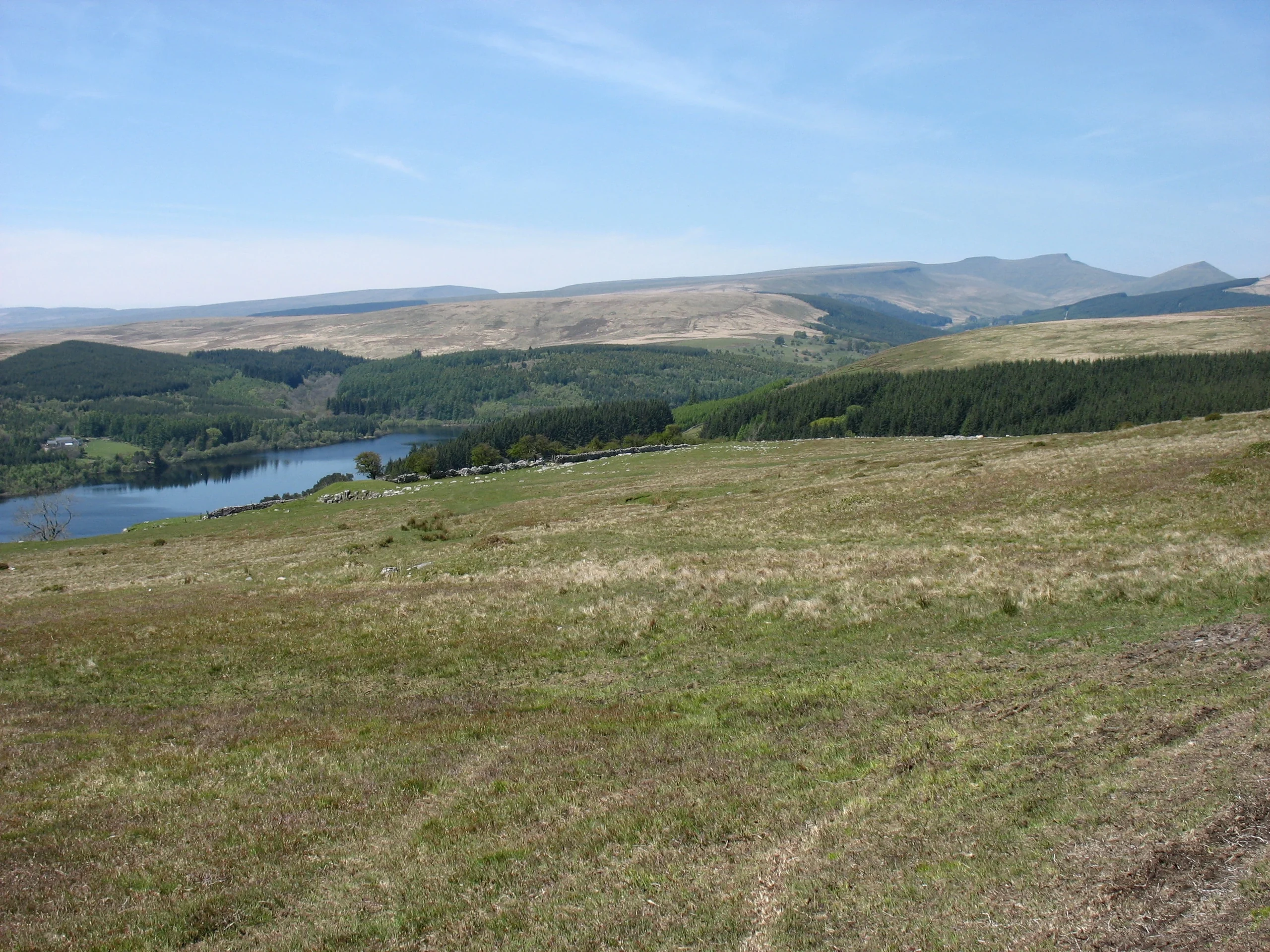
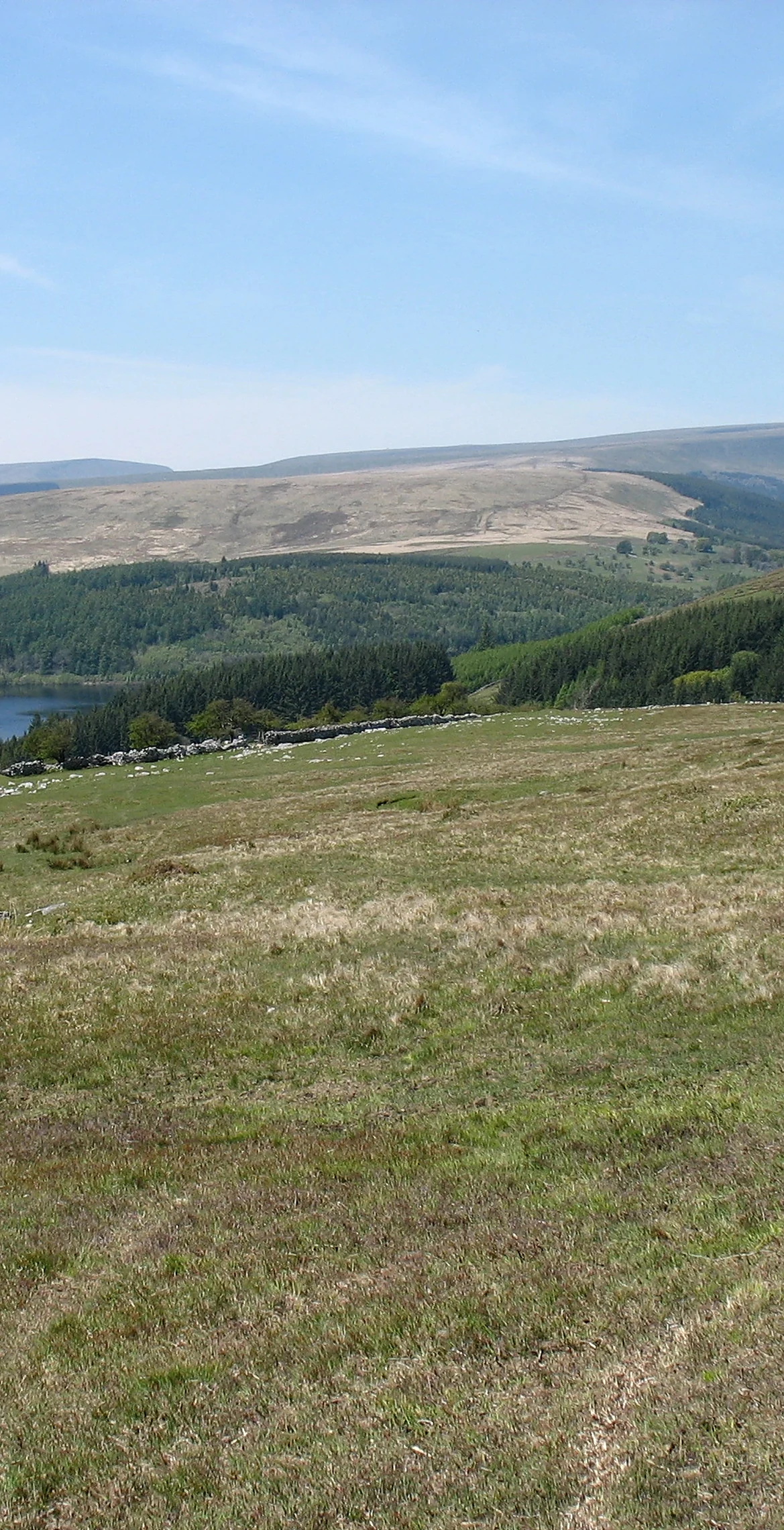
One of the southernmost peaks in the Brecon Beacons, Cefn yr Ystrad is a broad north-east to south-west ridge rising east of Pontsticill Reservoir to 617.3 m. The summit area is a great stretch of wild moorland, with the highest point by the trig point. South-east of it stands Carn-y-Bugail, 'cairn of the shepherd', a 15 m wide burial cairn, and nineteenth-century estate boundary stones cross the hill.
New to the Pennants?Read our guide: What Are The Welsh Pennants?Rock & Ground
Carboniferous Limestone overlain by Twrch Sandstone, with ice-smoothed pavements, loose rock and dozens of shakeholes.
Summit Weather
Our Route
Distance5.8 mi9.4 km
Ascent280 m920 ft
Time2h 45mwalking
StartSO 0603 1460Grid reference of the start
DirectionsSafety: Routes are a guide only. Carry a map and compass and know how to use them, check the weather before you go, and turn back if in doubt. You use this route at your own risk.