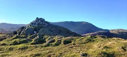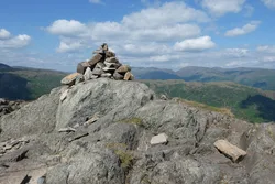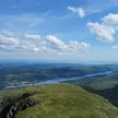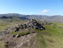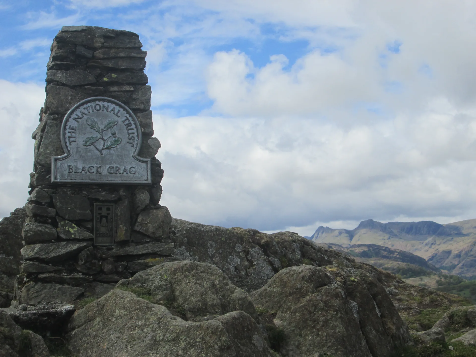


Black Fell sits between Ambleside and Coniston, and its summit, marked on maps as Black Crag, carries an Ordnance Survey trig column with a National Trust sign. A cairn a short way east is the best spot for looking down on Windermere, while the Coniston and Langdale fells fill the view to the west. The Marshalls of Monk Coniston once owned all of it, and it later came to the National Trust by way of Beatrix Potter.
New to the Wainwrights?Read our guide: What Are The Wainwrights?Rock 1 m west trig point
Volcanic tuff, mostly fell grass dotted with small rock outcrops, with woodland on the lower slopes.
BirkettSyngeFellrangerHuMP
Summit Weather
Our Route
Also on this route: Holme Fell
Safety: Routes are a guide only. Carry a map and compass and know how to use them, check the weather before you go, and turn back if in doubt. You use this route at your own risk.