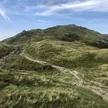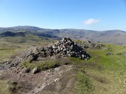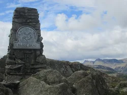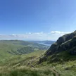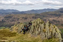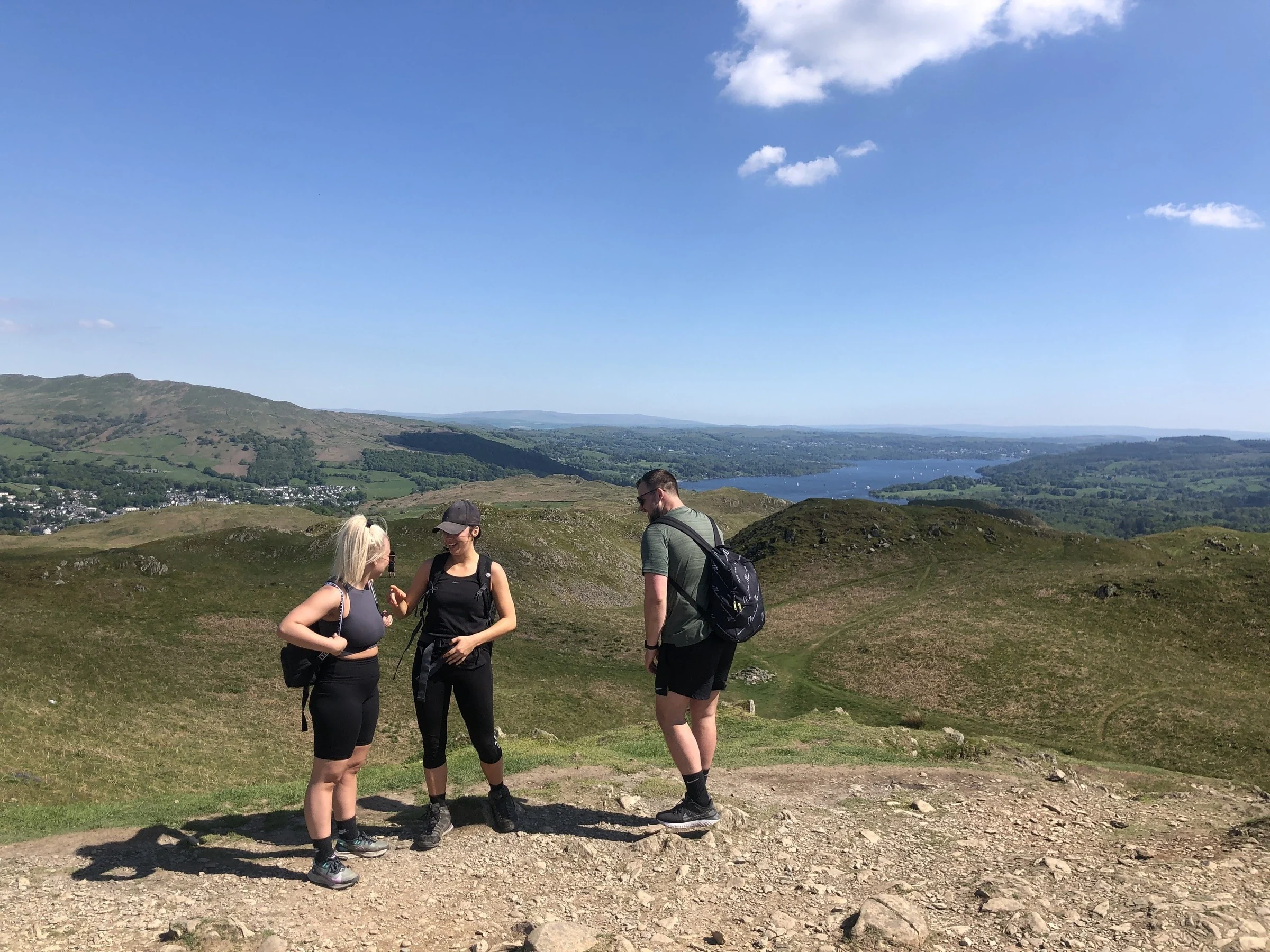



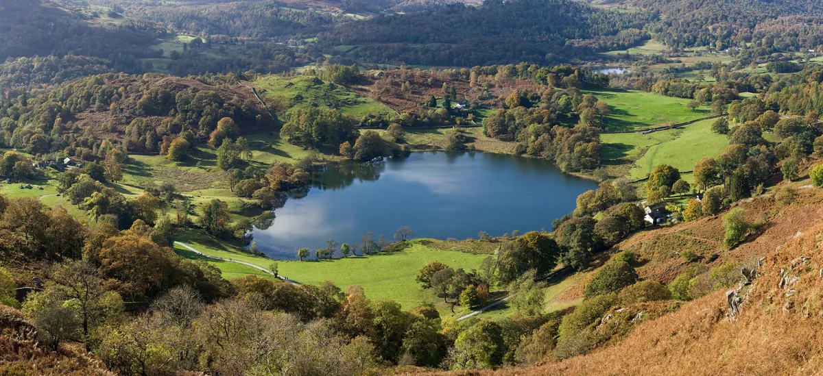
Loughrigg Fell is a sprawl of bracken-covered knolls and small tarns between the rivers Rothay and Brathay, and its name is thought to mean 'lake-ridge hill'. A trig point and a large cairn sit on the highest rocky knoll, looking out to Windermere, Grasmere, the Langdale Pikes and the Fairfield Horseshoe. Below, Loughrigg Terrace is a level path above Grasmere, and old quarry caves at its eastern end reach about 45 metres into the hill.
New to the Wainwrights?Read our guide: What Are The Wainwrights?Outcrop 3 m south-west of trig point
Volcanic tuff and sandstone with rhyolite intrusions, forming rocky knolls among bracken and tarns.
BirkettSyngeFellrangerMarilyn
Summit Weather
Our Route
Safety: Routes are a guide only. Carry a map and compass and know how to use them, check the weather before you go, and turn back if in doubt. You use this route at your own risk.