

Hill data: The Database of British and Irish Hills v18.6 (CC BY 4.0)Height469.9 m1,542 ft
Grid RefNY 30273 04604
OS MapOL6 & OL7OS Explorer
BookSouthern FellsBook 4
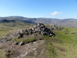
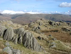
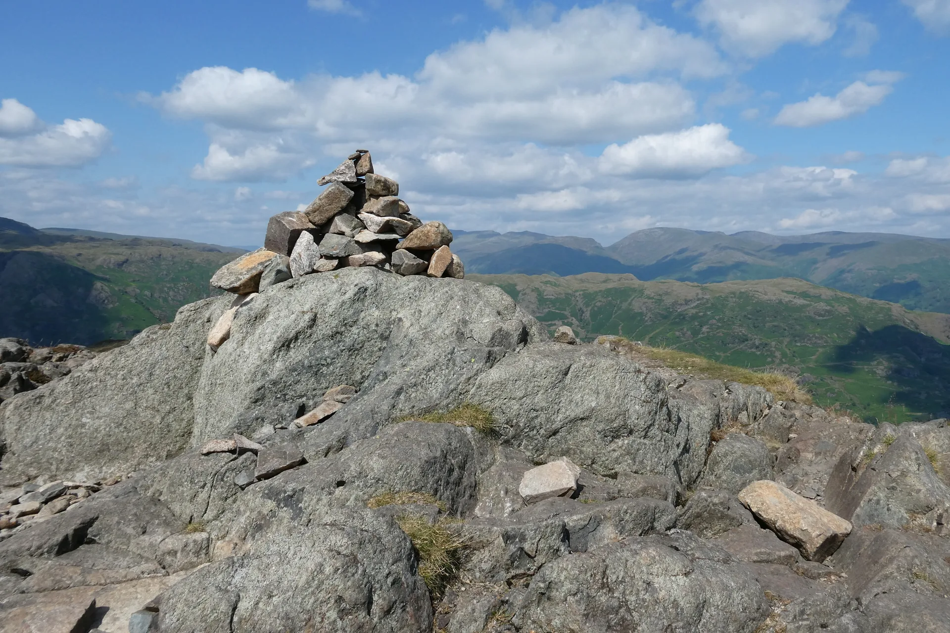
Lingmoor Fell sits between Great Langdale and Little Langdale, and its highest point is called Brown How, while the fell's name is thought to come from the Old Norse lyng, meaning heather. Slate has long been quarried on its north-eastern slopes, and the Burlington quarry at Elterwater has been at work for over 300 years. From the top you look straight across to the Langdale Pikes.
New to the Wainwrights?Read our guide: What Are The Wainwrights?Summit
Rock 2 m north of cairn
Rock & Ground
Andesite sill over volcanic tuff, with heather and bracken and old slate quarries.
Also On These Lists
BirkettSyngeFellrangerMarilyn
Summit Weather
Our Route
Distance5.8 mi9.4 km
Ascent570 m1,870 ft
Time3h 15mwalking
Start & FinishElterwaterNY 3273 0419 · circular route
DirectionsSafety: Routes are a guide only. Carry a map and compass and know how to use them, check the weather before you go, and turn back if in doubt. You use this route at your own risk.