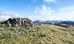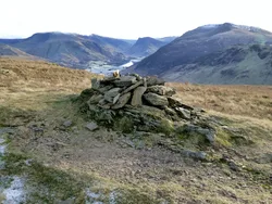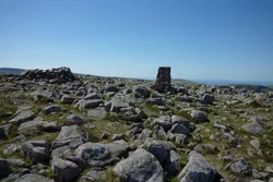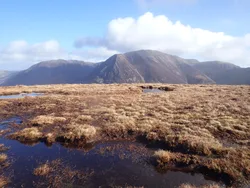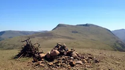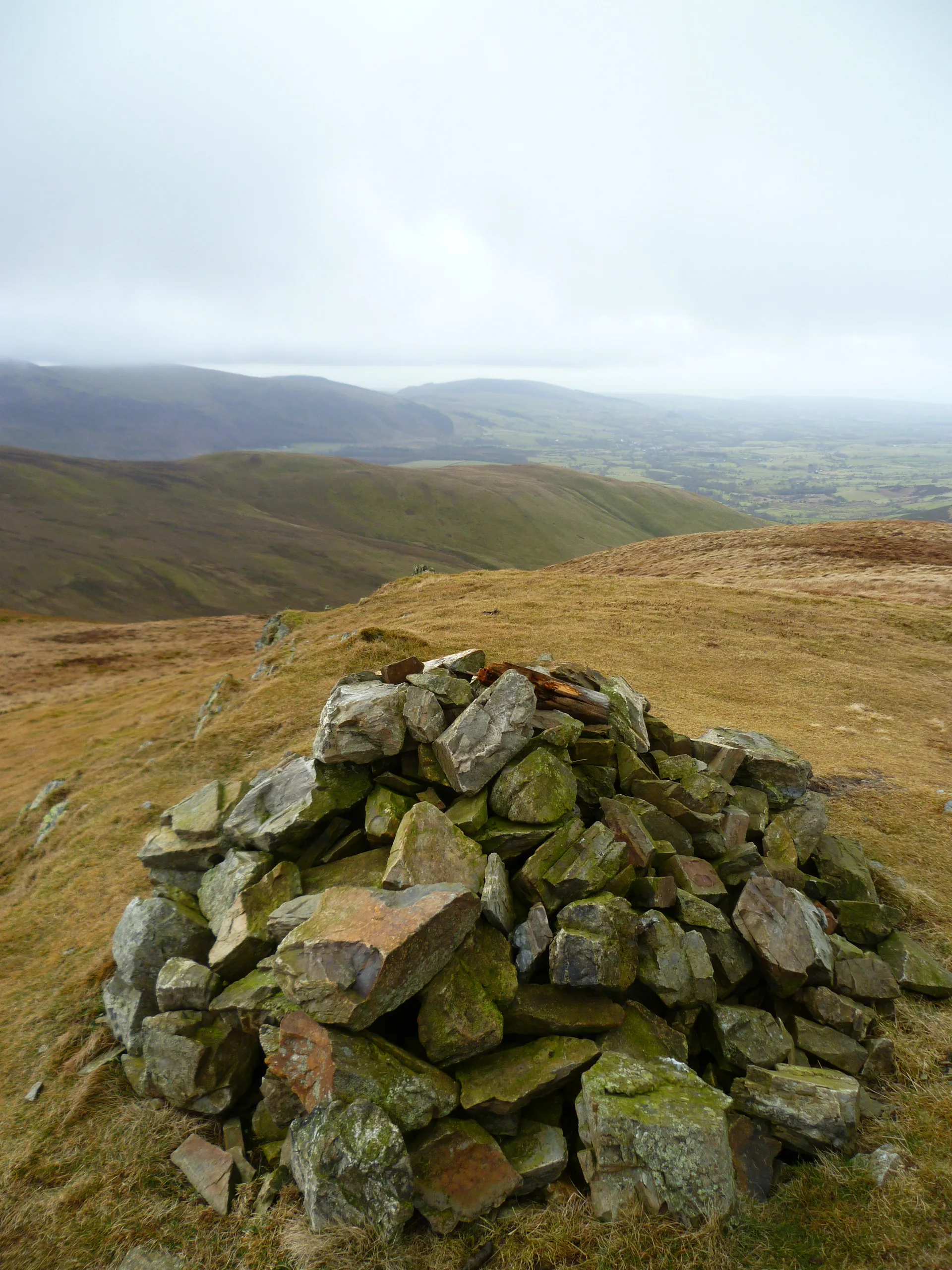

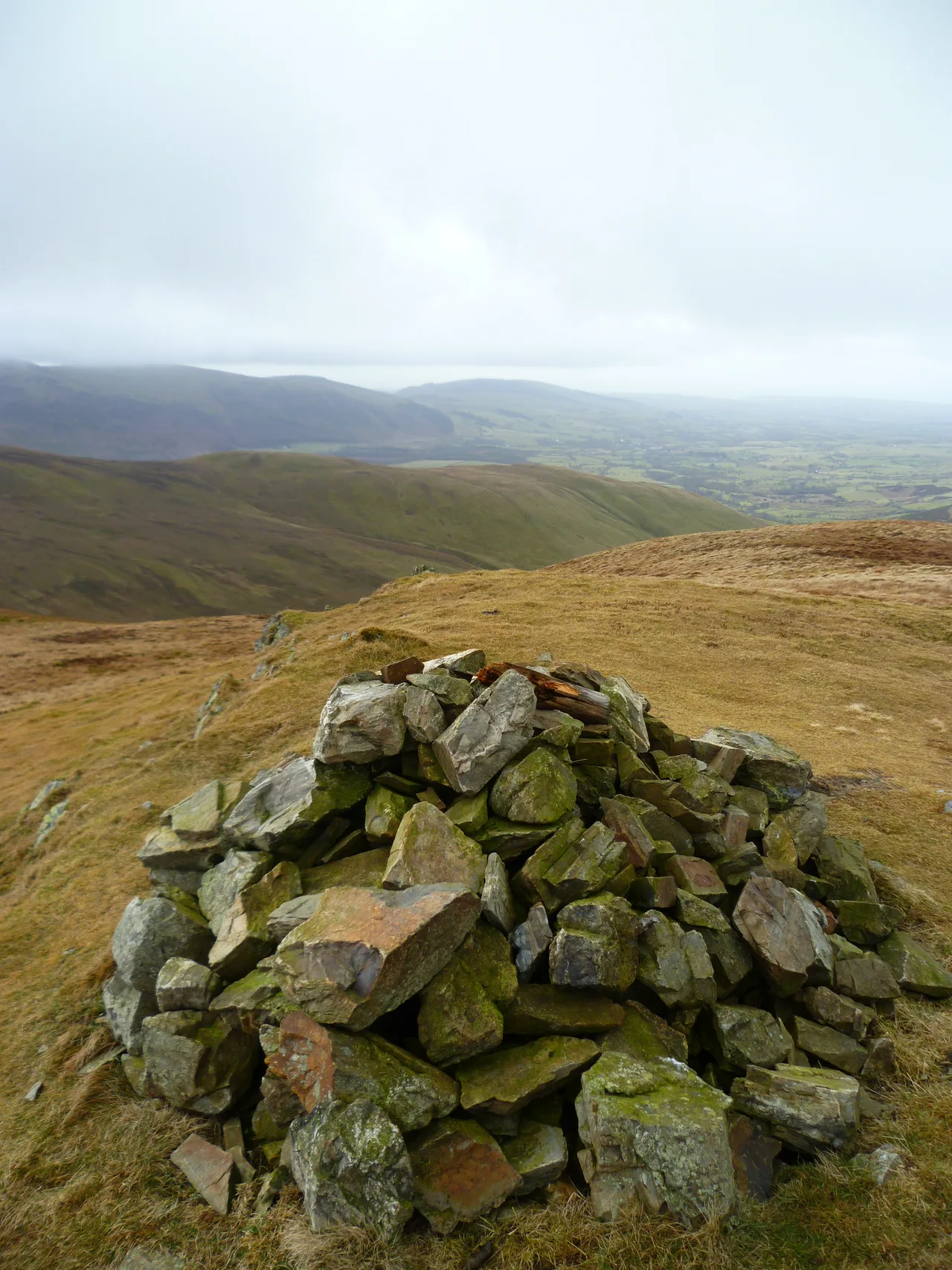


Gavel Fell sits in the middle of the Loweswater Fells, a grassy plateau whose highest ground has no marker; Wainwright's cairn is a short way south-east and fractionally lower. The ridge from Loweswater climbs steeply up Black Crag, then crosses rough, damp ground known as White Oak, where the Whiteoak lead mine was worked without much success from 1864 to 1891. Eastwards there's a fine line-up of fells, led by the Grasmoor group.
New to the Wainwrights?Read our guide: What Are The Wainwrights?No feature
Laminated mudstone and siltstone, with a grassy plateau and damp, rough ground on the ridge.
DeweyBirkettSyngeFellranger
Summit Weather
Our Route
Also on this route: Blake Fell, Mellbreak, Hen Comb, Burnbank Fell
Safety: Routes are a guide only. Carry a map and compass and know how to use them, check the weather before you go, and turn back if in doubt. You use this route at your own risk.