


Hill data: The Database of British and Irish Hills v18.6 (CC BY 4.0)Height450.4 m1,478 ft
Grid RefNY 17616 26621
OS MapOL4OS Explorer
BookNorth Western FellsBook 6
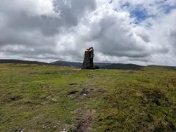
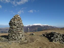
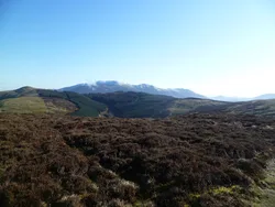
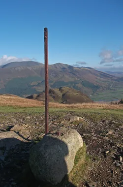
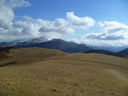
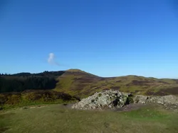
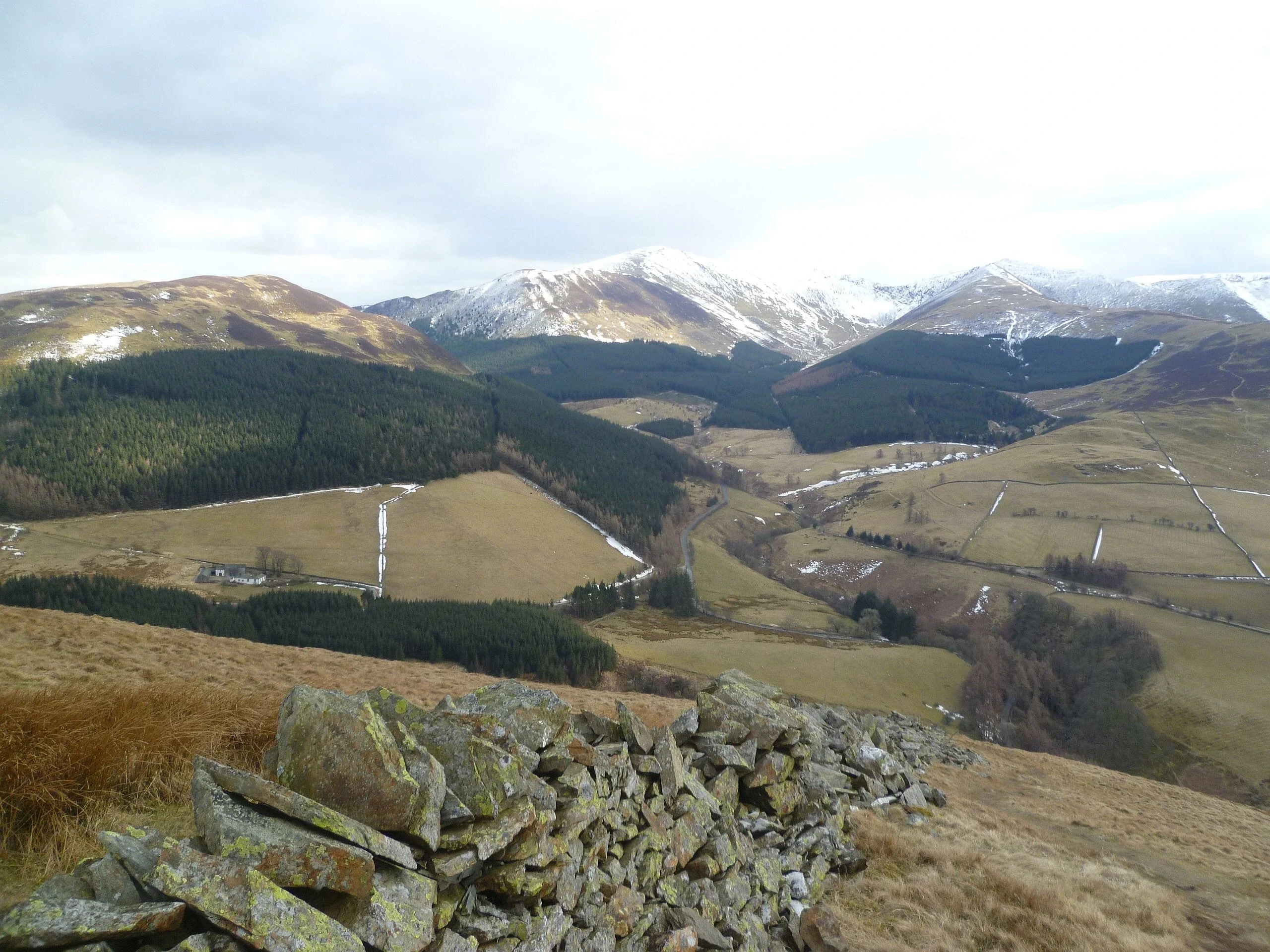
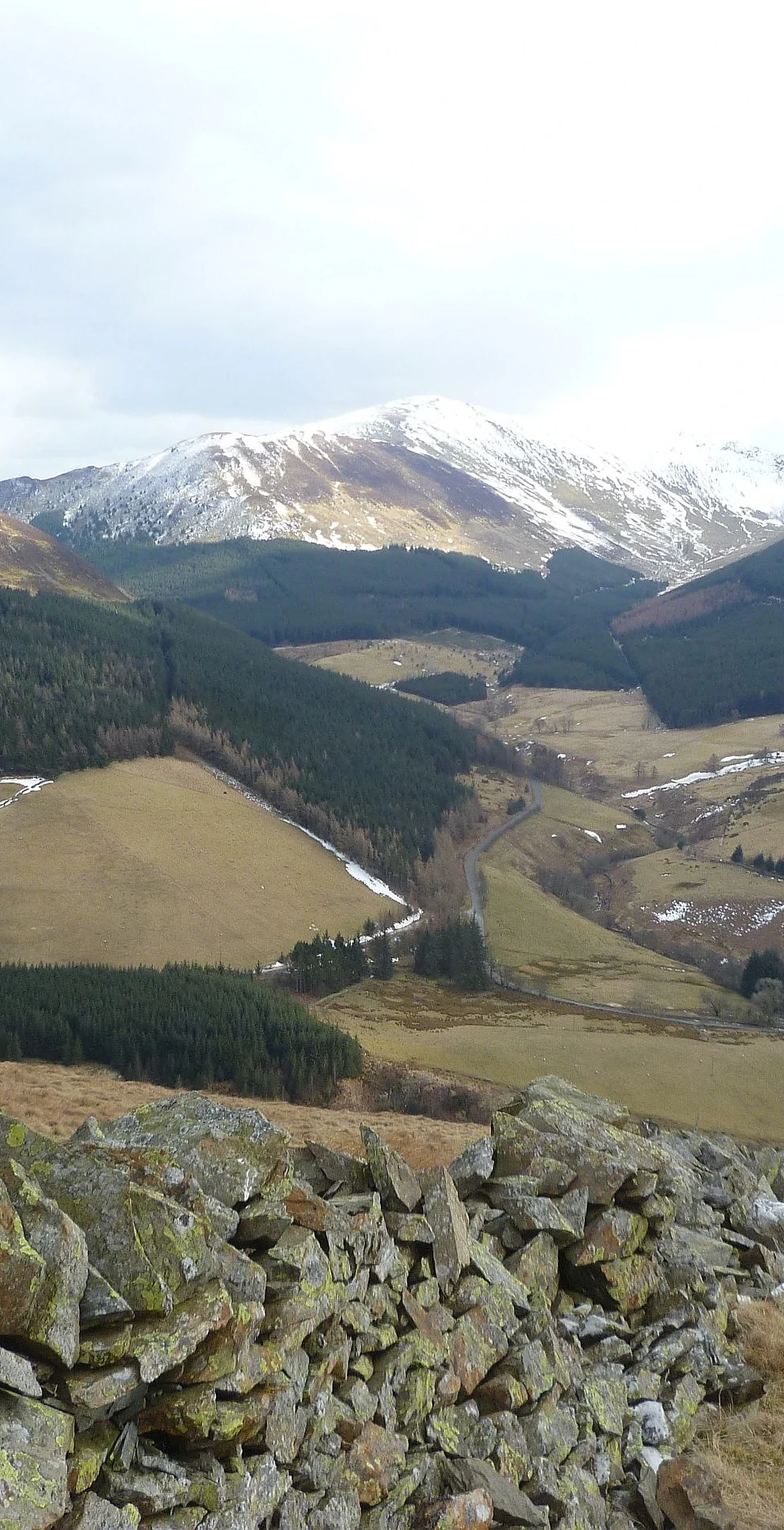
Strictly speaking the name Graystones belongs only to the summit, a rocky outcrop with a small cairn; Wainwright noted the fell as a whole is properly called Kirk Fell. Gentle grass slopes climb from the Vale of Lorton, while conifers of Darling How Plantation fill the south-east side and hide the waterfall of Spout Force. On a clear day the view stretches from the Loweswater Fells to the Scottish coast.
New to the Wainwrights?Read our guide: What Are The Wainwrights?Summit
Small cairn on rocky outcrop
Rock & Ground
Ordovician siltstone and mudstone of the Kirkstile Formation under smooth, grassy slopes.
Also On These Lists
Synge
Summit Weather
Our Route
Distance4.6 mi7.4 km
Ascent520 m1,710 ft
Time2h 40mwalking
Start & FinishScawgill BridgeNY 1771 2573 · circular route
DirectionsSafety: Routes are a guide only. Carry a map and compass and know how to use them, check the weather before you go, and turn back if in doubt. You use this route at your own risk.